Information
Landmark: La Peña del MorroCity: Valencia City
Country: Venezuela
Continent: South America
La Peña del Morro, Valencia City, Venezuela, South America
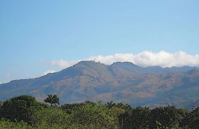
La Peña del Morro is a prominent rock formation situated in Valencia City, Venezuela.
This geological feature serves as a significant natural landmark within the urban landscape.
Visual Characteristics
La Peña del Morro is composed of sedimentary rock, primarily sandstone, exhibiting a weathered, ochre-colored surface. The formation rises approximately 50 meters above the surrounding terrain, characterized by steep, eroded cliffs and a relatively flat summit. Sparse vegetation, including drought-resistant shrubs and grasses, grows in crevices and on the upper surfaces.
Location & Access Logistics
The formation is located 3 kilometers west of Valencia City's central plaza. Access is via Avenida Paseo Cuatro, turning onto Calle El Morro. The road leads directly to a small, unpaved parking area at the base of the rock. Public transport options are limited; local bus line 12 stops approximately 1 kilometer south of the site, requiring a walk along Avenida Paseo Cuatro.
Historical & Ecological Origin
La Peña del Morro is a product of fluvial erosion and weathering processes acting on sedimentary rock layers deposited during the Tertiary period. Its formation is part of the broader geological history of the Valencia Basin, shaped by ancient river systems and tectonic activity. Ecologically, it represents a microhabitat supporting specialized flora adapted to arid conditions.
Key Highlights & Activities
Observation of the rock formation's structure is the primary activity. A designated, marked trail ascends to the summit, offering panoramic views of Valencia City and the surrounding plains. The trail is approximately 0.5 kilometers in length and requires moderate physical exertion. Photography of the geological features and city views is common.
Infrastructure & Amenities
There are no dedicated facilities at La Peña del Morro. Restrooms are not available. Natural shade is minimal, primarily found at the base of the formation during specific times of day. Cell phone signal (4G/5G) is generally available. No food vendors are present at the site; amenities are located in Valencia City.
Best Time to Visit
For photography, the optimal time is during the early morning or late afternoon when the sun angle creates distinct shadows and highlights on the rock face. The best months for visiting are from December to March, which constitute the dry season, offering clearer skies and lower humidity. High tide or low tide considerations are not applicable.
Facts & Legends
Local folklore suggests that the rock formation was once a lookout point for indigenous tribes observing the arrival of early settlers. A verified historical detail is that the rock was used as a natural marker during colonial land surveys due to its distinct profile.
Nearby Landmarks
- Parque Negra Hipólita (1.5km East)
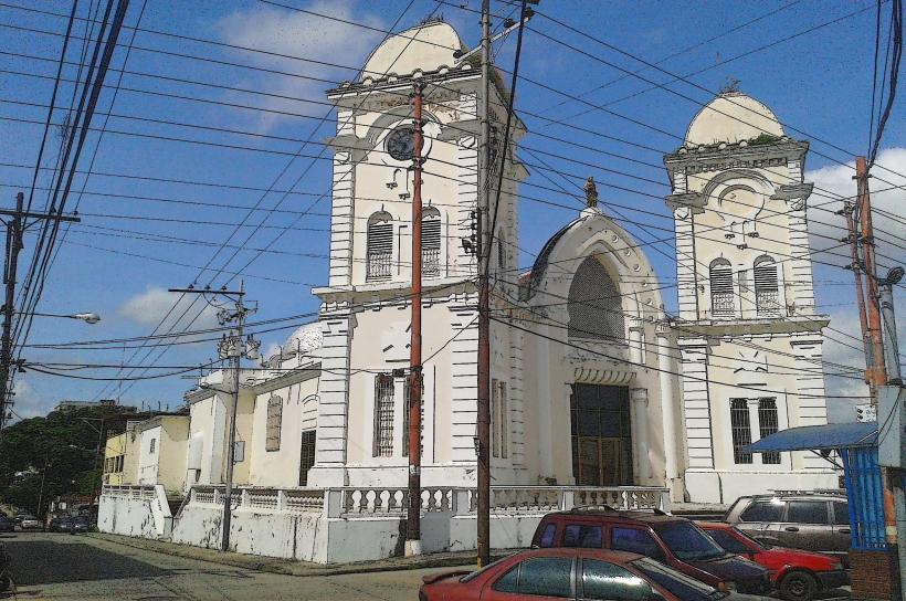
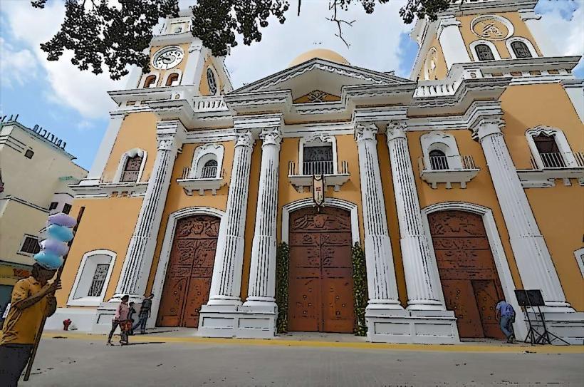
- Catedral de Valencia (3.0km East)
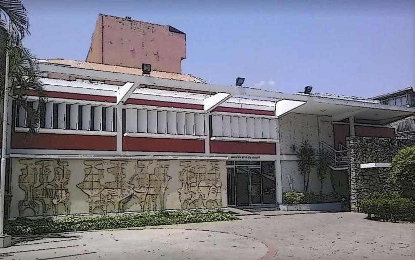
- Museo de Arte Valencia (2.8km East)
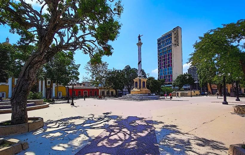
- Plaza Bolívar (3.0km East)