Information
Landmark: Fly RiverCity: Provice Area
Country: Papua New Guinea
Continent: Australia
Fly River, Provice Area, Papua New Guinea, Australia
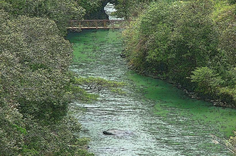
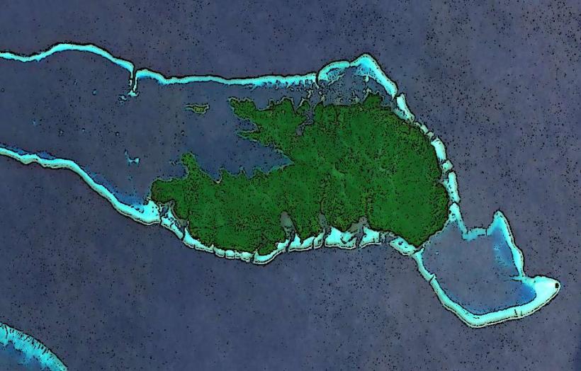
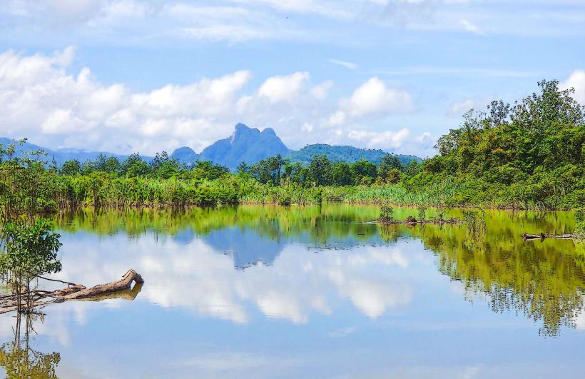
The Fly River is a major river system located in the Western Province of Papua New Guinea. It is the country's second-longest river.
Visual Characteristics
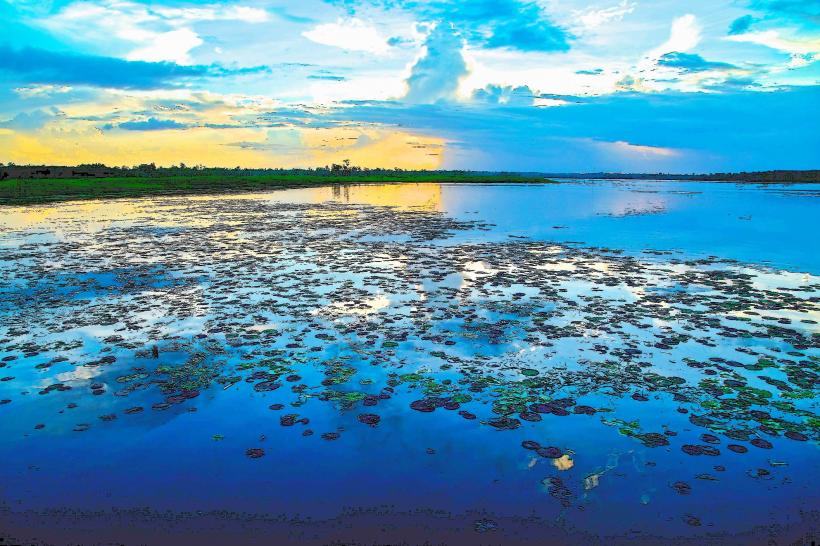
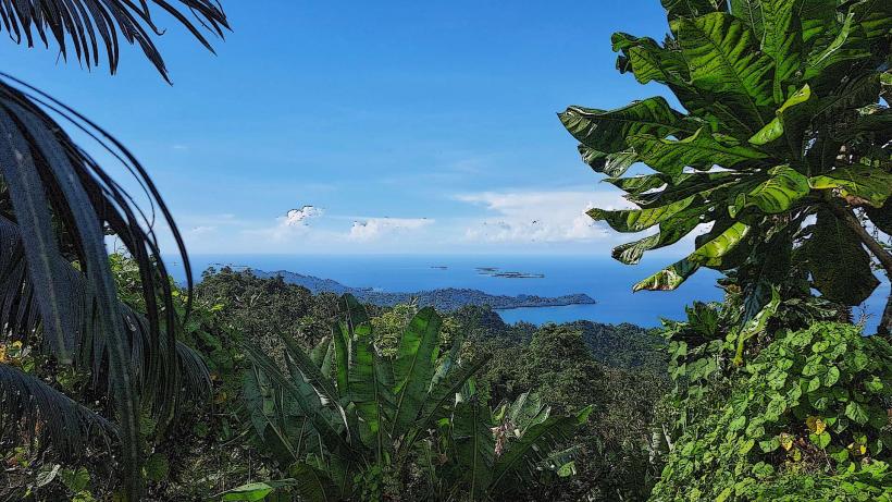
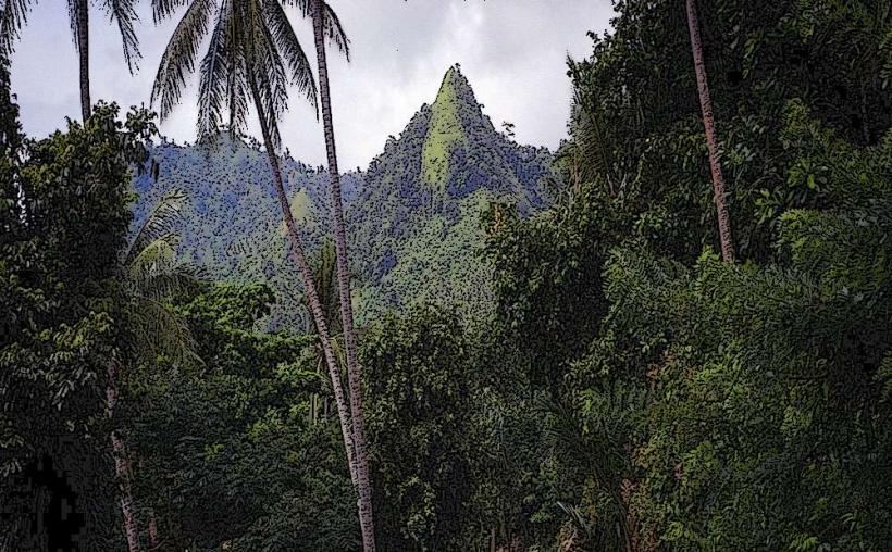
The Fly River is characterized by its wide, slow-moving, and often muddy waters, reflecting the sediment load from its extensive drainage basin. The riverbanks are predominantly lined with dense tropical rainforest, with varying degrees of swamp and mangrove ecosystems in its lower reaches. The water color can range from a murky brown to a greenish hue depending on rainfall and upstream conditions.
Location & Access Logistics
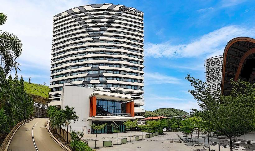
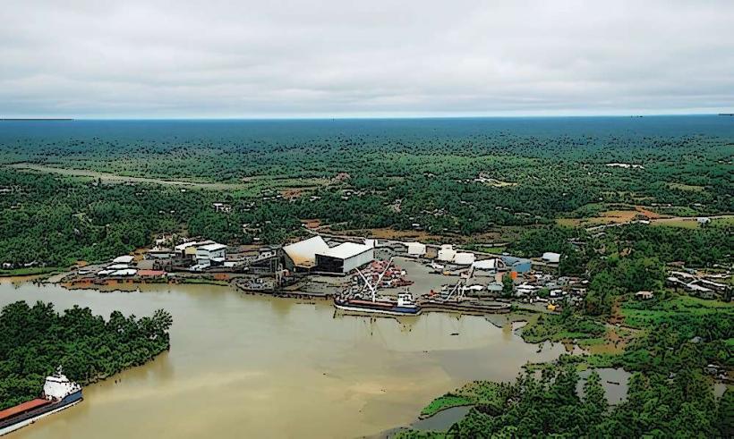
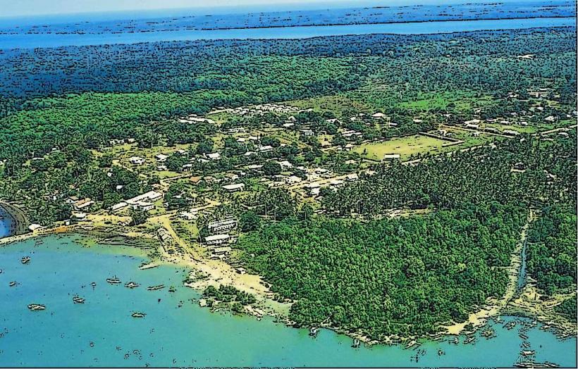
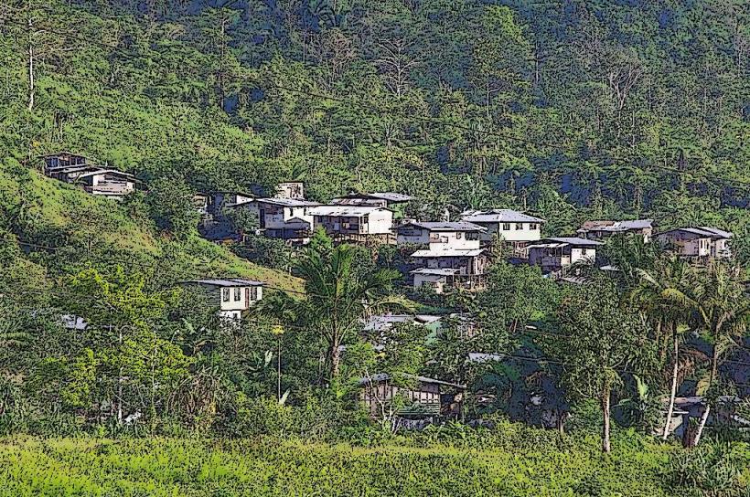
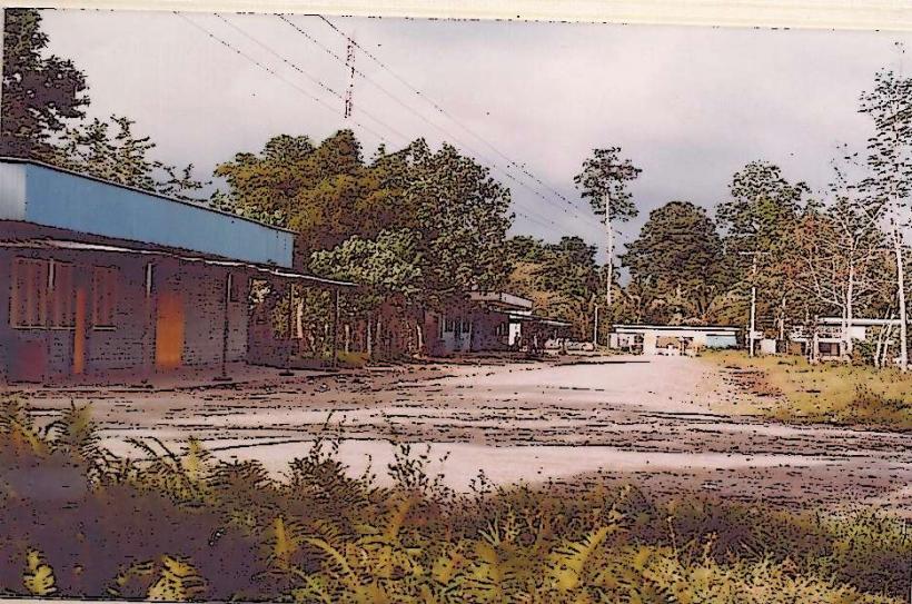
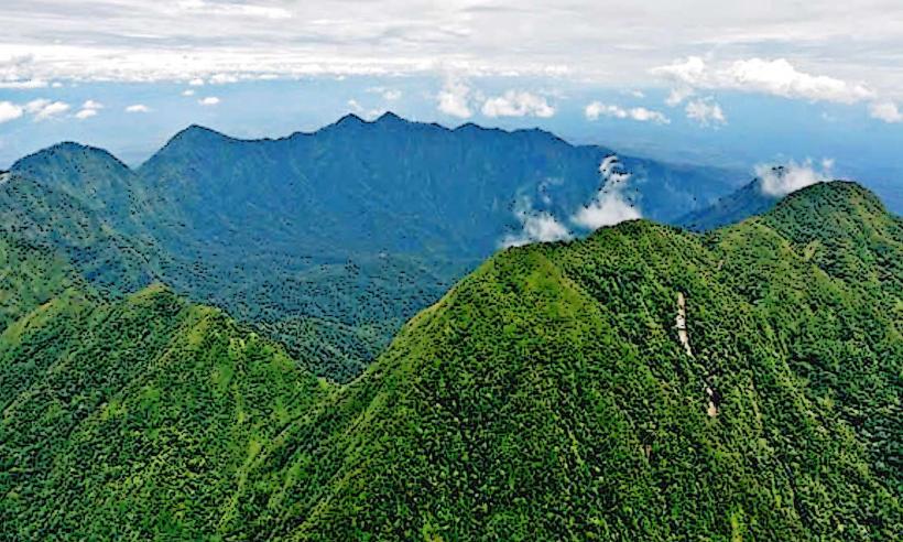
The Fly River originates in the Star Mountains and flows southwest across Papua New Guinea, eventually emptying into the Gulf of Papua. Access is primarily via boat or small aircraft. The main population centers along the river, such as Kiunga and Tabubil (near the headwaters), are accessible by road from Port Moresby, though these are often unpaved and challenging. Regular boat services operate on the river, connecting settlements. There are no major public transport networks directly on the river itself.
Historical & Ecological Origin
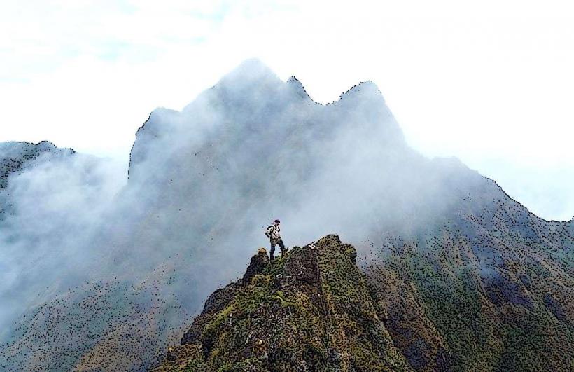
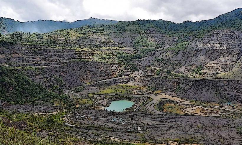
The Fly River system is a result of tectonic uplift and erosion over millions of years, forming a vast drainage basin covering approximately 76,000 square kilometers. Ecologically, it is a significant freshwater and estuarine environment supporting diverse flora and fauna, including endemic species. The river's course has been shaped by the geological history of the New Guinea Highlands.
Key Highlights & Activities
Activities on the Fly River include wildlife viewing, particularly birdwatching and observing crocodiles. Fishing is a common local activity. Boat expeditions are the primary means of exploring the river and its surrounding rainforest. Limited guided tours focusing on cultural experiences and the natural environment are available from settlements like Kiunga.
Infrastructure & Amenities
Infrastructure is minimal along most of the river. Basic guesthouses and lodges are found in larger settlements like Kiunga. Cell phone signal is intermittent and generally only available in the main towns. Food vendors are present in these settlements, but remote areas have no amenities. Restrooms are typically basic and found at lodges or designated stops.
Best Time to Visit
The dry season, from May to October, generally offers more stable river conditions and less rainfall, making travel easier. The wet season (November to April) can lead to higher water levels and increased flooding, impacting accessibility. For photography, early morning and late afternoon provide softer light, though the muddy water limits photographic appeal compared to clearer systems.
Facts & Legends
The Fly River is known for its significant gold and copper deposits, which have driven mining operations in its upper reaches. Local legends often speak of river spirits and the importance of respecting the waterway. A unique tip for visitors is to be aware of the strong currents and potential for flash floods during the wet season.
Nearby Landmarks
- Tabubil (Mining Town) - 50km Northeast
- Ok Tedi Mine - 60km Northwest
- Star Mountains (Range) - 100km East
- Tonda Wildlife Management Area - 200km Southwest