Information
Landmark: Sepik RiverCity: Provice Area
Country: Papua New Guinea
Continent: Australia
Sepik River, Provice Area, Papua New Guinea, Australia
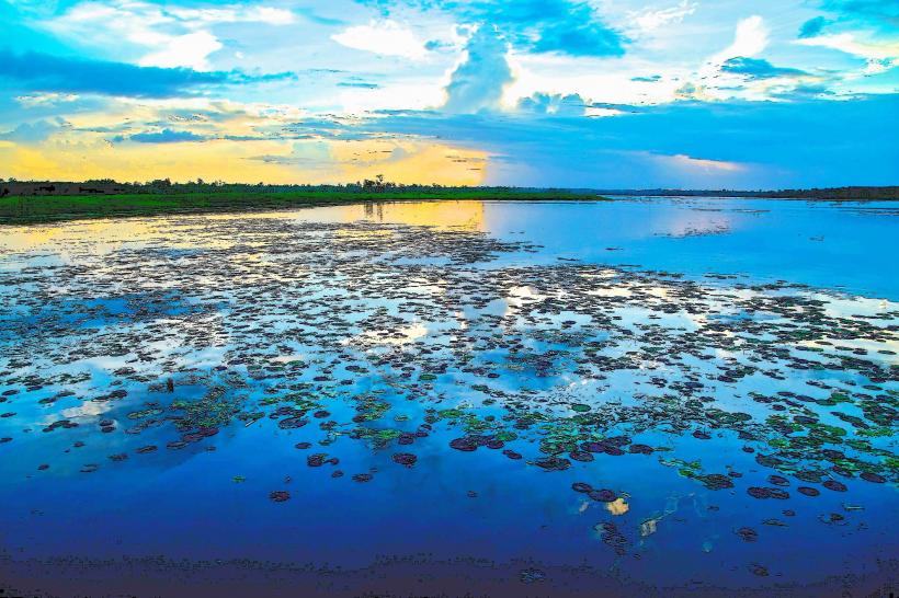
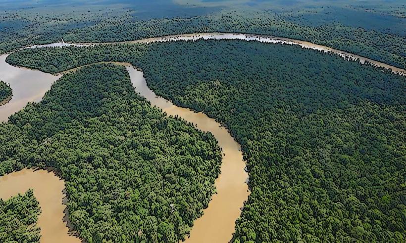
The Sepik River is a major river system located in the northern part of Papua New Guinea. It is the longest river in the country and a significant waterway for transportation and cultural exchange.
Visual Characteristics
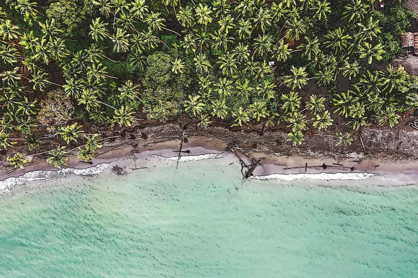
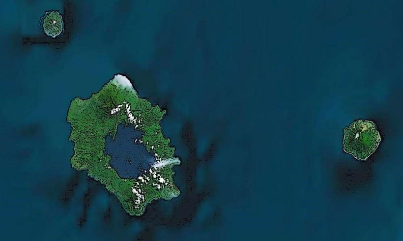
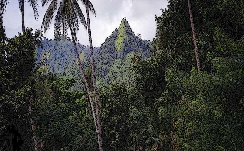
The Sepik River is characterized by its wide, slow-moving waters, often appearing brown or muddy due to sediment load. The riverbanks are densely vegetated with tropical rainforest, featuring a variety of tree species, palms, and dense undergrowth. The river's width varies significantly, from approximately 200 meters in narrower sections to over 1.5 kilometers in wider expanses. Numerous oxbow lakes and tributaries branch off the main channel.
Location & Access Logistics
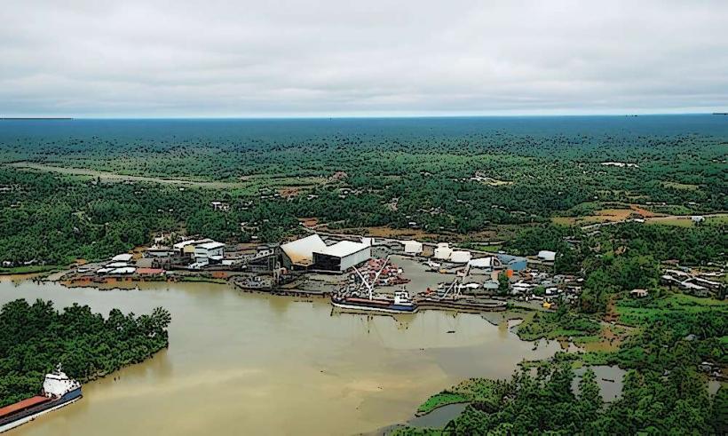
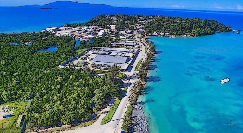
The Sepik River flows through the East Sepik and West Sepik Provinces of Papua New Guinea. Access is primarily via air to provincial capitals such as Wewak (East Sepik Province) or Vanimo (West Sepik Province), followed by boat transfers. Local boat services and private charters operate along the river. There are no major road networks directly alongside the entire river; access to villages and specific points of interest is almost exclusively by watercraft. The main river port is Angoram.
Historical & Ecological Origin
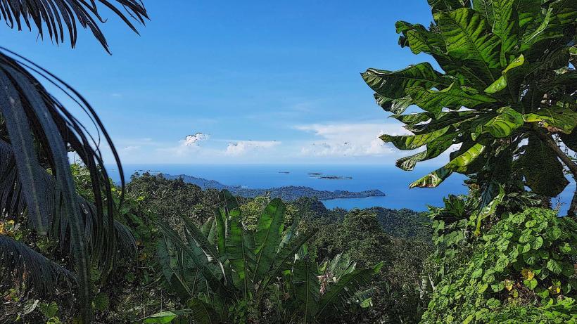
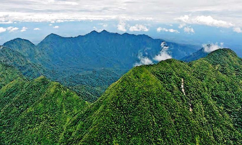
The Sepik River basin is an ancient geological formation, shaped by tectonic activity and erosion over millennia. Its ecological significance lies in its status as one of the world's largest relatively undisturbed river systems, supporting a vast array of biodiversity. The river has been a central artery for human settlement for thousands of years, with indigenous communities developing complex cultural practices tied to its cycles.
Key Highlights & Activities
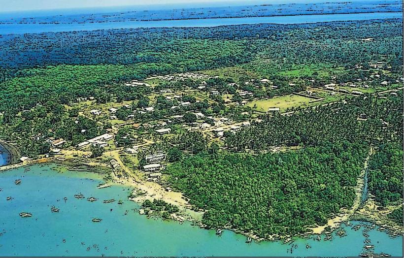
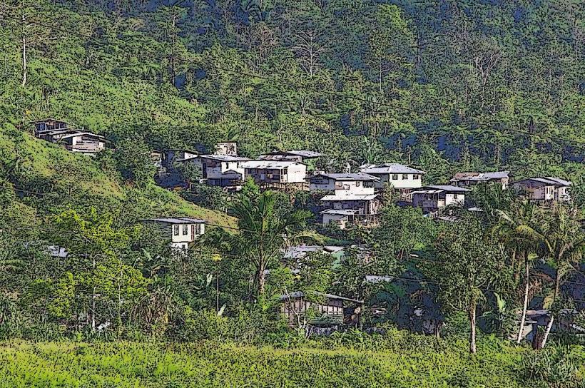
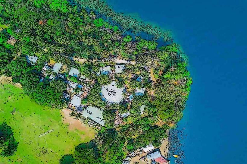
Boat expeditions along the river are the primary activity. Visitors can observe traditional village life, including stilt houses and local crafts. Cultural performances, such as singsings and mask dances, are often arranged. Birdwatching is a significant activity due to the diverse avian population. Fishing is also common. Guided tours often include visits to specific cultural sites like Kanganamun or Tambanum villages.
Infrastructure & Amenities
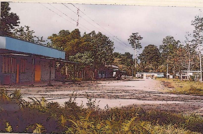
Infrastructure is minimal and varies by location. Some larger villages may have basic guesthouses or homestays. Restrooms are typically rudimentary. Shade is abundant from the rainforest canopy. Cell phone signal is generally absent or very weak outside of provincial centers. Food vendors are usually found in the larger towns or at specific market days; meals in villages are often arranged as part of tours.
Best Time to Visit
The dry season, from May to October, is generally considered the best time to visit, offering lower water levels and less rainfall, which can facilitate travel and village access. The wet season (November to April) sees higher water levels, which can make some areas inaccessible but also enhances the lushness of the vegetation. For photography, early morning and late afternoon provide softer light.
Facts & Legends
The Sepik River is renowned for its elaborate initiation ceremonies and the creation of elaborate wooden masks and carvings by local artisans. A notable legend speaks of the river being formed by a giant serpent. A practical tip for visitors is to carry insect repellent and be prepared for humidity.
Nearby Landmarks
- Wewak (Provincial Capital) - 50km Southeast
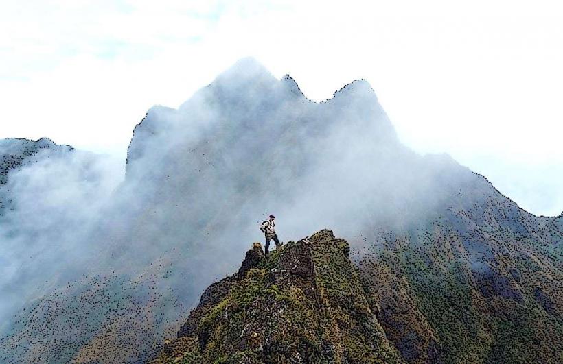
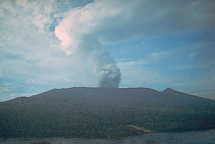
- Mount Turu - 40km Southwest
- Ambunti (River Town) - 60km West
- Kanganamun Village - 70km West
- Sepik River National Park (Conceptual Area) - Extends along the river