Information
Landmark: Gulf ProvinceCity: Provice Area
Country: Papua New Guinea
Continent: Australia
Gulf Province, Provice Area, Papua New Guinea, Australia
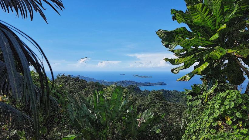
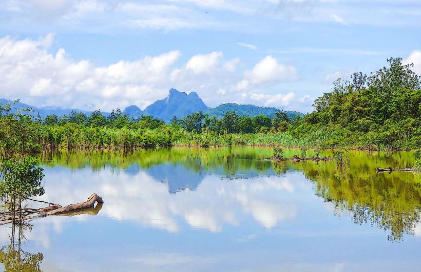
The Gulf Province is a region in Papua New Guinea characterized by its coastal plains and river deltas. It is situated on the southern coast of the island of New Guinea.
Visual Characteristics
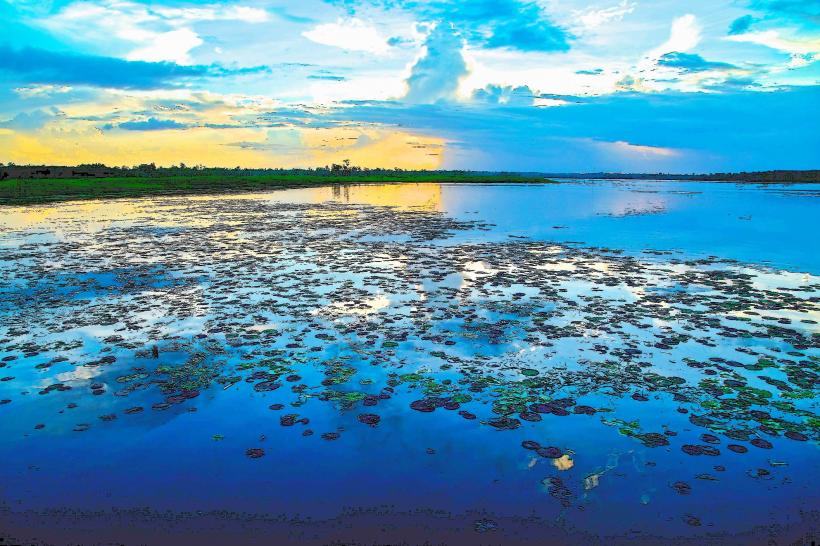
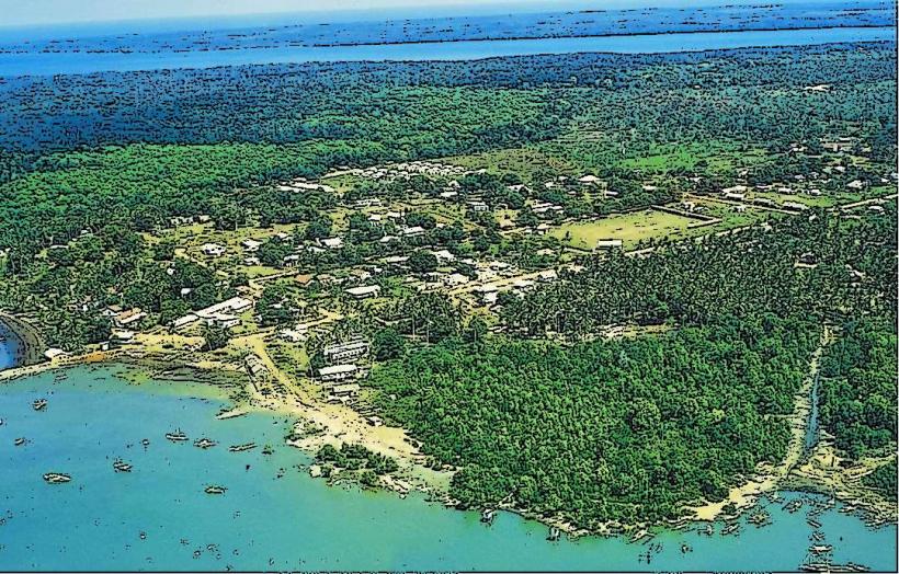
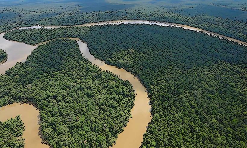
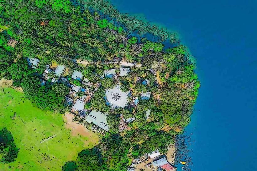
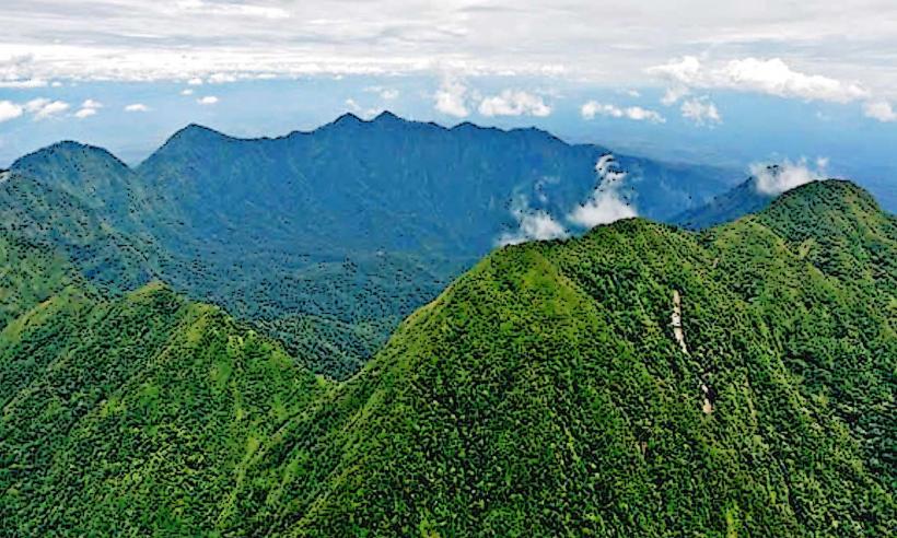
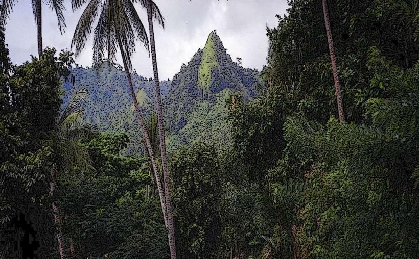
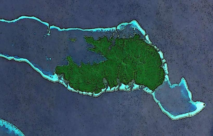
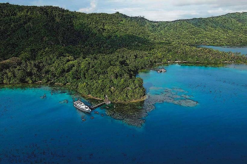
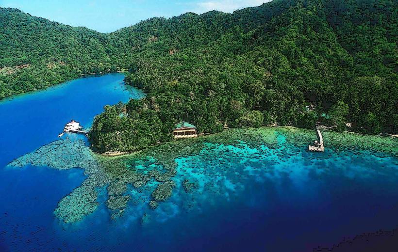
The landscape consists primarily of low-lying coastal plains, extensive mangrove forests, and large river systems such as the Purari, Vailala, and Lakekamu. The coastline features muddy shores and shallow, often turbid, waters. Inland, the terrain gradually rises to rolling hills and eventually the foothills of the central mountain ranges. Vegetation is dense, dominated by tropical rainforest and swamp forest ecosystems.
Location & Access Logistics
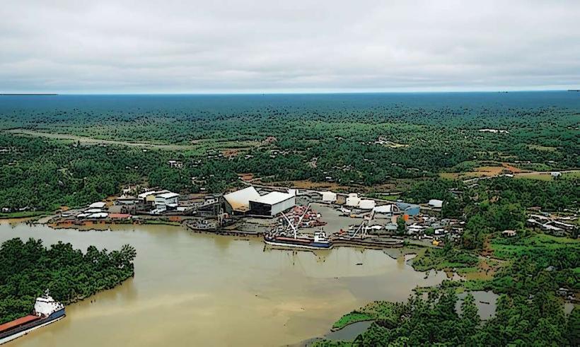
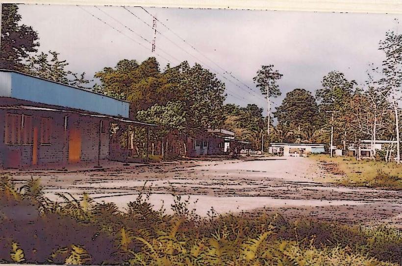
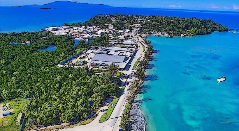
The Gulf Province is accessed primarily via air or sea. The provincial capital, Kerema, has a small airstrip (Kerema Airport, IATA: KRM) served by domestic flights from Port Moresby. Road access from Port Moresby is limited and often impassable, especially during the wet season. Sea transport via cargo ships or smaller vessels is a common method for moving goods and people to coastal settlements. There are no major highways connecting the province to other regions.
Historical & Ecological Origin
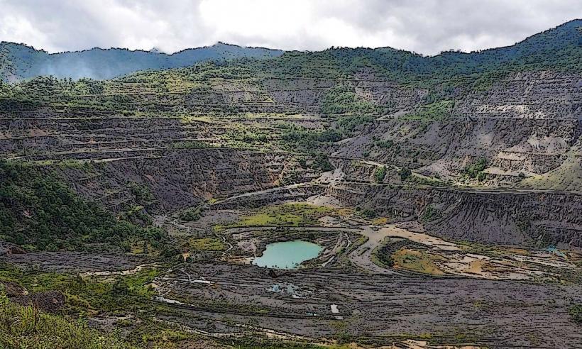
The Gulf Province's geography is the result of extensive alluvial deposition from major river systems draining the central highlands. The coastal plains are geologically young, formed by sediment carried down by the Purari, Vailala, and Lakekamu rivers over millennia. These river deltas create vast estuarine environments and mangrove swamps, which are crucial ecological zones. Historically, the region was inhabited by various indigenous groups who adapted to the coastal and riverine environments, relying on fishing, hunting, and subsistence agriculture.
Key Highlights & Activities
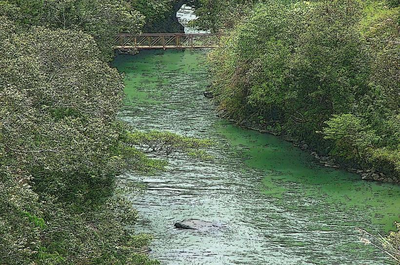
Activities are centered around the natural environment. Birdwatching is possible in the mangrove forests and riverine areas. Fishing expeditions can be arranged in coastal waters and rivers. Cultural experiences with local communities offer insight into traditional lifestyles. Boat tours along the major rivers provide access to remote areas and wildlife viewing opportunities.
Infrastructure & Amenities
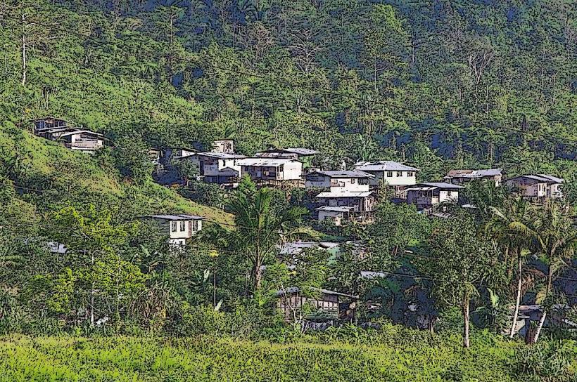
Basic infrastructure is present in the provincial capital, Kerema, including a hospital, government offices, and some guesthouses. Cell phone signal (2G/3G) is available in Kerema and larger settlements but is unreliable in remote areas. Restrooms are generally available at government facilities and larger accommodations. Shade is abundant due to dense vegetation. Food vendors are present in market areas of towns like Kerema.
Best Time to Visit
The dry season, from May to October, offers the most favorable weather conditions with less rainfall. This period is also better for travel by boat and for accessing areas that may be flooded during the wet season. For birdwatching, early morning and late afternoon provide the best opportunities for activity.
Facts & Legends
The Purari River Delta is one of the largest river deltas in Papua New Guinea, characterized by its extensive mangrove systems and significant sediment load. Local folklore often speaks of river spirits and ancestral beings associated with the large waterways and the surrounding forests.
Nearby Landmarks
- Purari River Delta (15km West)
- Lakekamu Basin (30km East)
- Vailala River Estuary (10km South)
- Kerema Town (0km North)