Information
Landmark: Rossel IslandCity: Provice Area
Country: Papua New Guinea
Continent: Australia
Rossel Island, Provice Area, Papua New Guinea, Australia
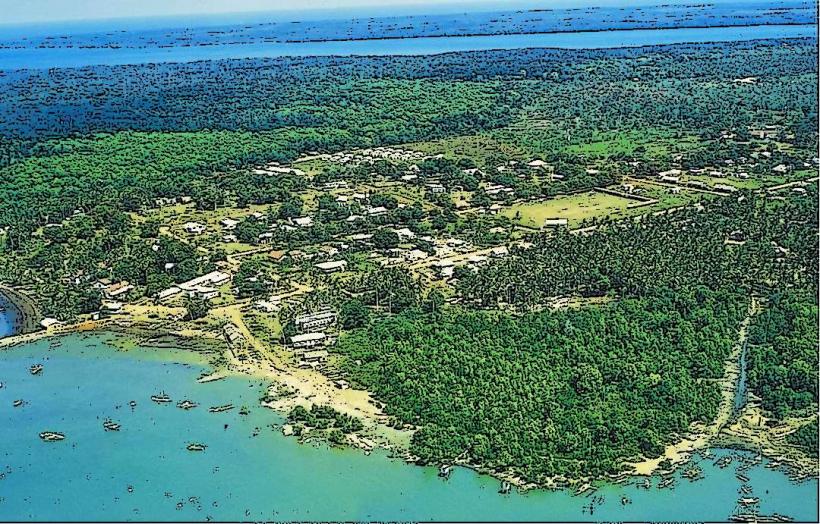
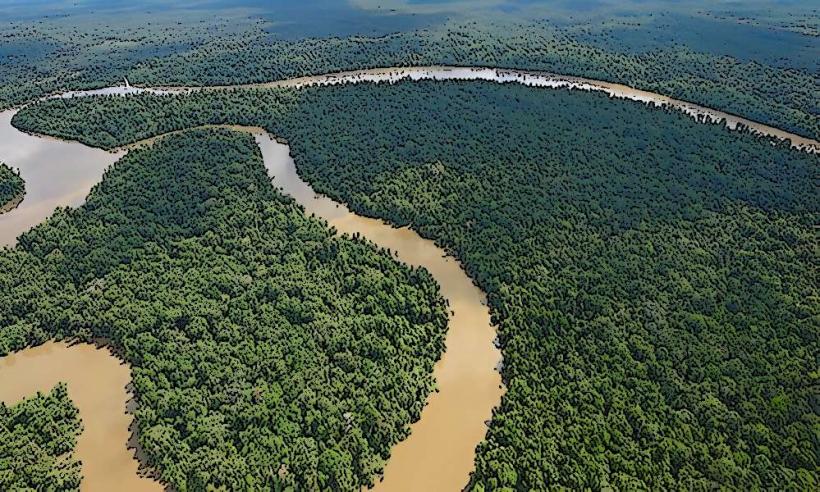
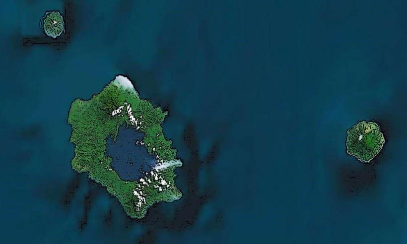
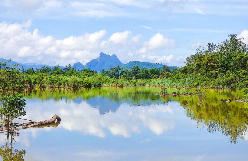
Rossel Island is a landmass located in the Milne Bay Province of Papua New Guinea. It is part of the Louisiade Archipelago.
Visual Characteristics
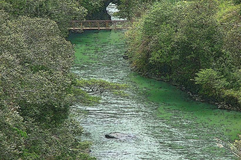
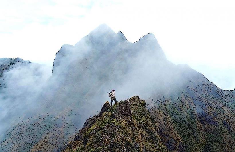
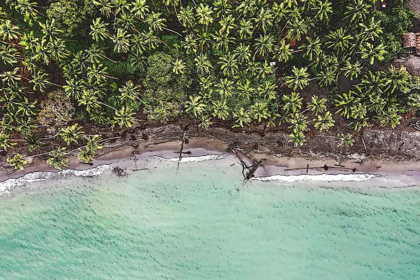
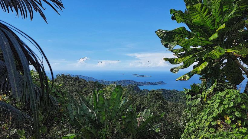
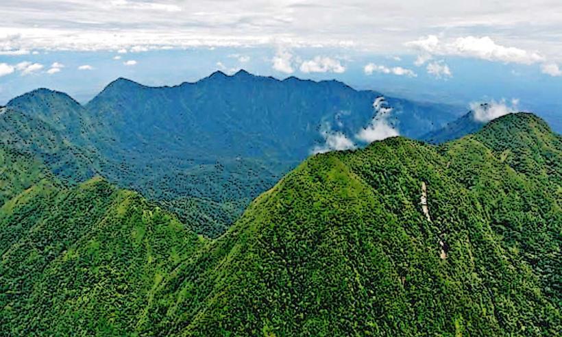
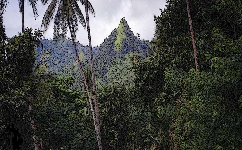
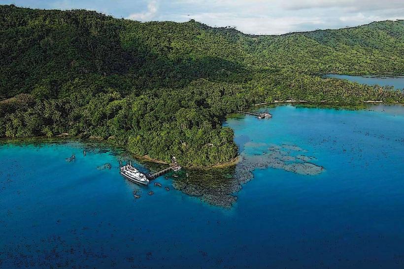
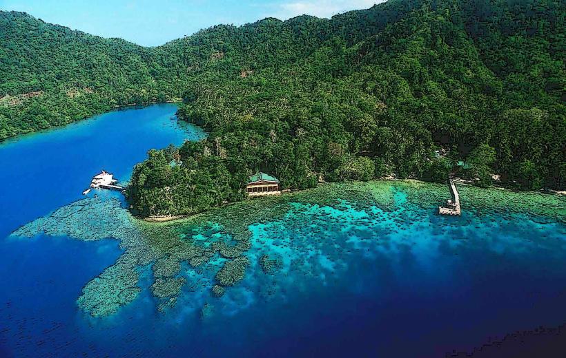
The island is characterized by a central mountainous spine, reaching elevations of approximately 800 meters. The coastline features fringing coral reefs and sandy beaches. Inland, the terrain is densely vegetated with tropical rainforest, including palm trees and various hardwood species. The surrounding waters are a clear turquoise, transitioning to deeper blue further offshore.
Location & Access Logistics
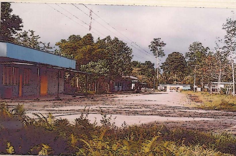
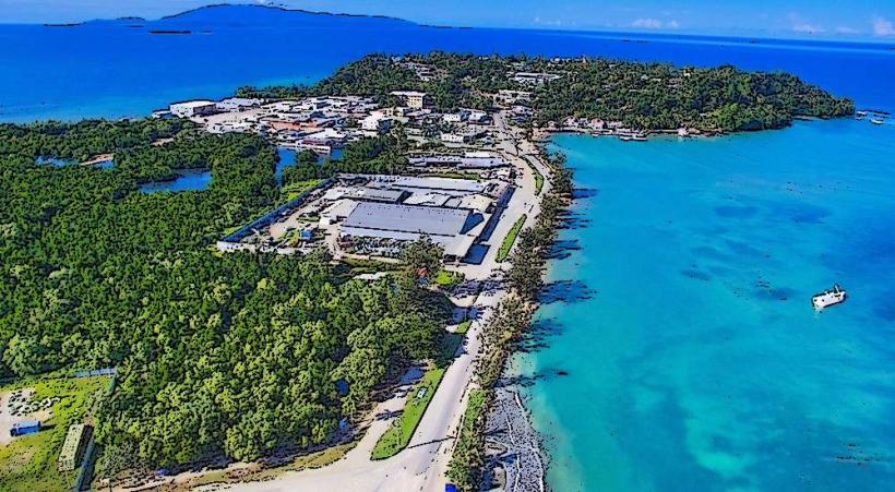
Rossel Island is situated approximately 200 kilometers east of the provincial capital, Alotau. Access is primarily via small aircraft landing on a grass airstrip located on the island's western side. Boat transport is also possible, typically from Alotau, but requires navigating open sea conditions and can take several hours depending on vessel type and weather. There are no established road networks on the island; internal travel is by foot or small boat.
Historical & Ecological Origin
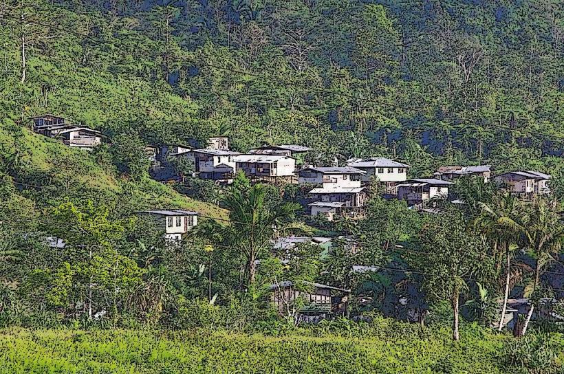
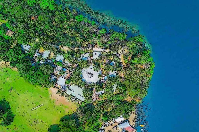
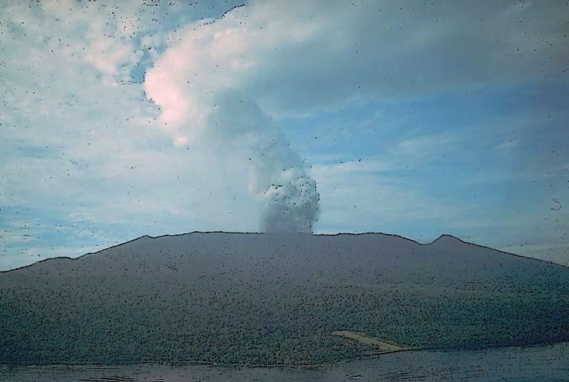
The island is of volcanic origin, formed by geological uplift over millions of years. Its ecological classification is tropical rainforest island. Historically, the island was inhabited by the Yele people, who developed a unique shell money system known as "felefele."
Key Highlights & Activities
Activities include observing the local flora and fauna, exploring the coastline by boat, and engaging with the indigenous Yele culture. Limited opportunities exist for snorkeling and diving around the coral reefs, particularly on the leeward side of the island. Hiking inland is possible but requires local guidance due to dense vegetation and challenging terrain.
Infrastructure & Amenities
Basic infrastructure is minimal. There are no public restrooms or designated shade structures outside of the small village areas. Cell phone signal is generally absent. Limited food supplies may be available from local villagers, but visitors should plan to bring all necessary provisions.
Best Time to Visit
The dry season, from June to September, offers the most favorable weather conditions with reduced rainfall. The best time of day for photography is generally early morning or late afternoon, when the sun angle is lower, providing softer light and reducing glare on the water. Tidal conditions do not significantly impact access to the island itself, but can affect reef exploration.
Facts & Legends
Rossel Island is renowned for its unique "felefele" shell currency, which was historically used for significant transactions, including bride price and land purchases. The value of these shells was meticulously graded, and their use persisted longer than in many other Pacific island cultures.
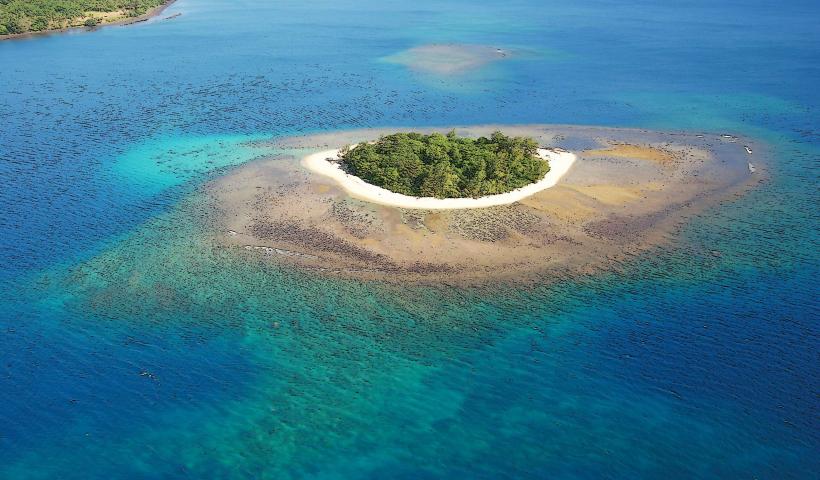
Nearby Landmarks
Misima Island (50km Southeast)
Sudest Island (70km Southwest)
Woodlark Island (120km Northeast)
Alotau (200km West)