Information
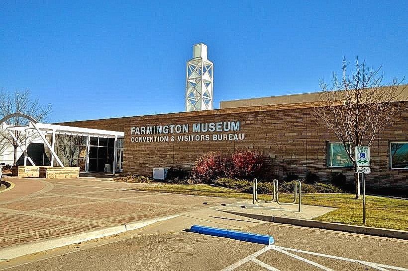
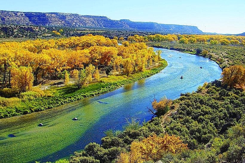
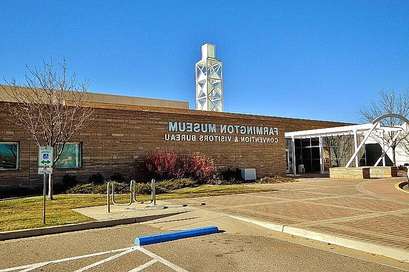
Landmark: Four Corners MonumentCity: Farmington
Country: USA New Mexico
Continent: North America
Four Corners Monument, Farmington, USA New Mexico, North America
The Four Corners Monument is a marker indicating the quadripoint where the U.S. states of Arizona, Colorado, New Mexico, and Utah converge. It is located in the Four Corners region of the Southwestern United States.
Visual Characteristics
The monument consists of a circular bronze disk set in concrete, marking the exact intersection point. The disk is inscribed with the names of the four states and their respective lines of latitude and longitude. Surrounding the disk is a paved area with a concrete base and a flagpole. The immediate area is arid desert landscape with sparse vegetation.
Location & Access Logistics
The monument is situated 35 miles west of Cortez, Colorado, and 40 miles north of Shiprock, New Mexico, accessible via U.S. Route 160. From U.S. Route 160, turn south onto County Road 37 (also known as Tribal Route 19). The monument is located at the end of this paved road. Parking is available in a designated lot adjacent to the monument. There are no public transport services directly to the monument.
Historical & Ecological Origin
The original survey marker was established in 1868 by the U.S. government as part of the survey for the boundary of New Mexico Territory. The current monument was dedicated on July 15, 1912. The site is located within the Colorado Plateau, an arid, high-elevation desert region characterized by sedimentary rock formations.
Key Highlights & Activities
Visitors can stand in all four states simultaneously. A small visitor center and gift shop operated by the Navajo Nation is present. Photography at the monument is a primary activity. Limited seating is available.
Infrastructure & Amenities
Restrooms are available at the site. Shade is provided by a small canopy over the monument and the visitor center structure. Cell phone signal (4G/5G) is generally available. Food vendors are typically present during peak seasons, offering local Navajo crafts and food items.
Best Time to Visit
The best time of day for photography is mid-morning or late afternoon to avoid harsh overhead sunlight. The best months for weather are April through October, with daytime temperatures ranging from 70°F to 90°F. Winter months can be cold with potential for snow.
Facts & Legends
The original survey marker in 1868 was placed by Zebulon Pike's expedition, though the exact location was later disputed and corrected. The monument is the only quadripoint in the United States marking the intersection of four states.
Nearby Landmarks
- Mesa Verde National Park (35km North)
- Shiprock (40km South)
- Canyonlands National Park (120km West)
- Arches National Park (130km Northwest)
- Monument Valley Navajo Tribal Park (100km West)