Information
Landmark: Gallatin County Regional ParkCity: Bozeman
Country: USA Montana
Continent: North America
Gallatin County Regional Park, Bozeman, USA Montana, North America
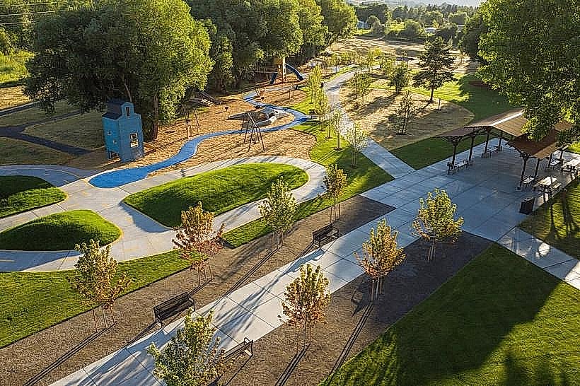
Gallatin County Regional Park is a public recreational area situated in Bozeman, Montana. It encompasses a significant portion of land dedicated to outdoor activities and natural preservation.
Visual Characteristics
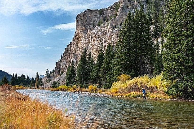
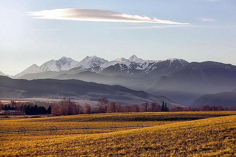
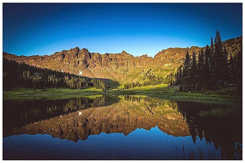
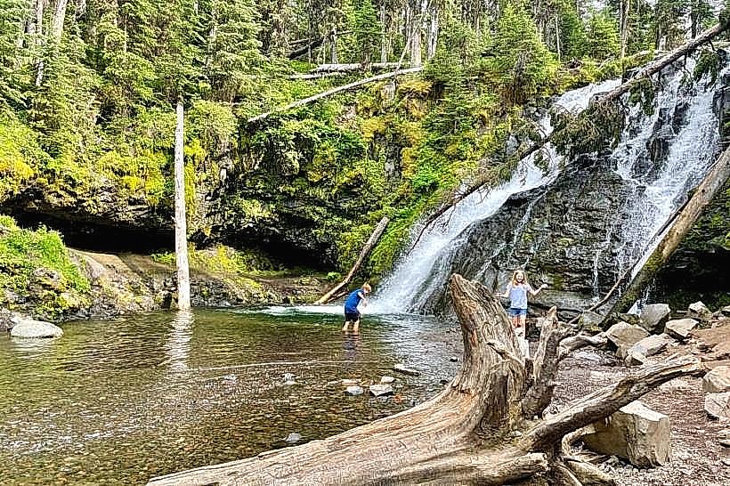
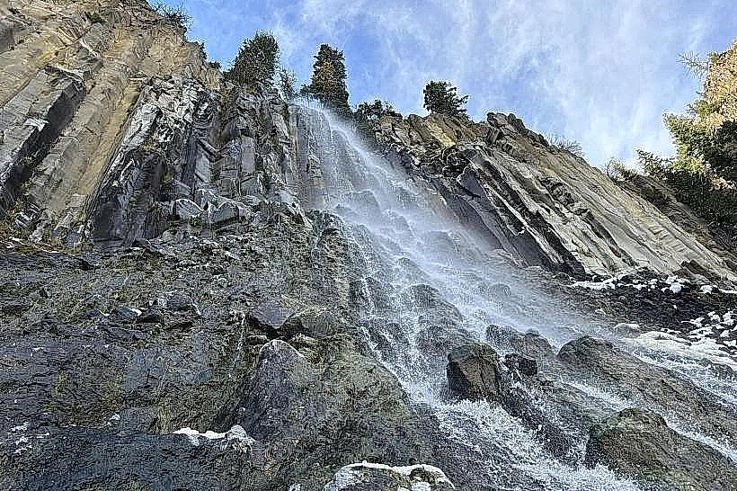
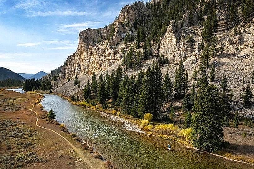
The park features a mix of open grassland, riparian zones along the Gallatin River, and stands of mature coniferous trees, primarily Ponderosa Pine and Douglas Fir. The terrain is generally rolling with some steeper inclines near the riverbanks. The Gallatin River itself exhibits a clear, fast-flowing character with a gravel and cobble bed.
Location & Access Logistics
The park is located approximately 5 kilometers east of downtown Bozeman. Access is primarily via East Main Street, which transitions into Baxter Lane. Turn north onto South Church Street, which leads directly into the park's main entrance. Ample parking is available in designated lots throughout the park. Public transport options are limited; the closest bus stop is on East Main Street, requiring a 1.5km walk to the park entrance.
Historical & Ecological Origin
The land was acquired by Gallatin County through a combination of land donations and parkland acquisition funds, with significant development occurring in the late 20th and early 21st centuries. Ecologically, the area represents a transition zone between the Gallatin Valley floor and the foothills of the Bridger Mountains, supporting a diverse range of flora and fauna adapted to riparian and grassland environments.
Key Highlights & Activities
Activities include hiking on marked trails, fishing in the Gallatin River (Montana fishing license required), picnicking at designated sites, and birdwatching. The park contains a disc golf course and a playground area. Kayaking and rafting are possible on the Gallatin River during periods of sufficient flow.
Infrastructure & Amenities
Restrooms are available at the main parking areas and near the playground. Shaded picnic tables are scattered throughout the park. Cell phone signal (4G/5G) is generally available, though it may be intermittent in denser wooded areas. No food vendors are permanently located within the park; visitors should bring their own provisions.
Best Time to Visit
For photography, early morning and late afternoon offer optimal lighting conditions. The best months for general visitation are May through October, with July and August being the warmest. Spring (April-May) can offer higher river flows for water activities. Winter months are suitable for snowshoeing and cross-country skiing, weather permitting.
Facts & Legends
A local historical oddity is the presence of remnants of an old irrigation ditch system, dating back to early agricultural settlement in the valley, which predates the park's formal establishment. These are visible along some of the less-trafficked trails.
Nearby Landmarks
- Bridger Creek Golf Course - 1.2km Northwest
- Montana State University - 3.5km West
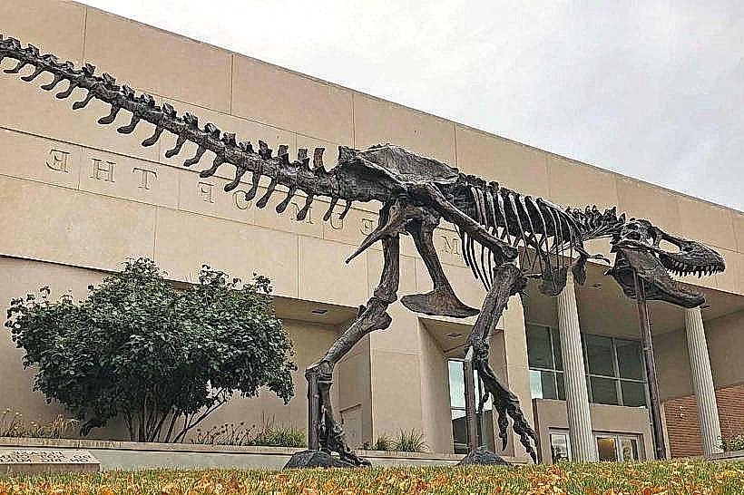
- Museum of the Rockies - 4.0km West
- Bozeman Creek Trailhead - 4.8km Southwest