Information
Landmark: Spanish PeaksCity: Bozeman
Country: USA Montana
Continent: North America
Spanish Peaks, Bozeman, USA Montana, North America
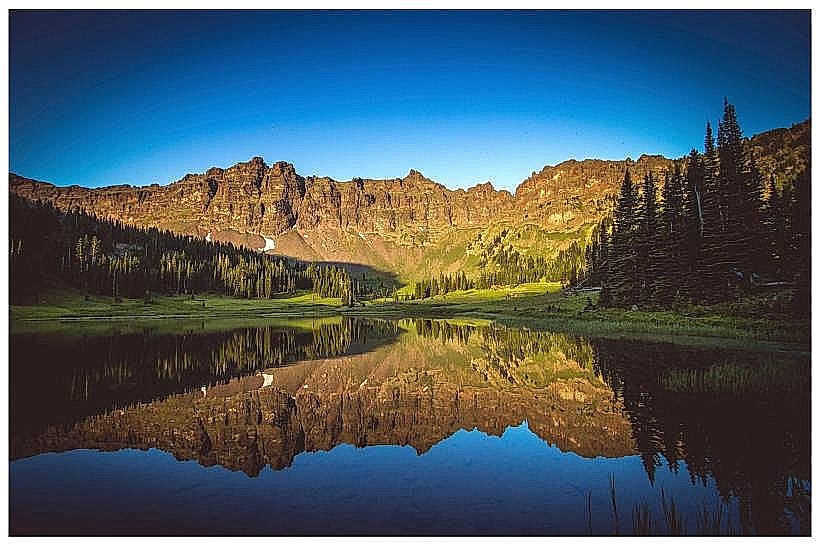
The Spanish Peaks are a pair of prominent mountains located in Gallatin County, Montana, south of Bozeman.
These distinct peaks are characterized by their rugged, granite formations and steep slopes, rising significantly above the surrounding Gallatin Valley.
Visual Characteristics
The Spanish Peaks consist of two main summits: East Spanish Peak and West Spanish Peak. The mountains are composed primarily of Precambrian metamorphic rock, giving them a rough, angular appearance. Vegetation varies with elevation, featuring coniferous forests at lower altitudes and alpine meadows and exposed rock at higher elevations. Snow can persist on the upper slopes well into summer.
Location & Access Logistics
The Spanish Peaks are situated approximately 25 miles south of Bozeman, Montana. Access is primarily via Hyalite Canyon Road (Forest Service Road 62). This paved road leads into the Gallatin National Forest. Parking is available at various trailheads along Hyalite Canyon Road, including the Hyalite Creek Trailhead and the Spanish Peaks Trailhead. Public transportation is not available to the trailhead; a personal vehicle is required.
Historical & Ecological Origin
The Spanish Peaks are part of the Gallatin Range, which was uplifted during the Laramide Orogeny. Their geological composition dates back to the Precambrian era. The name "Spanish Peaks" is attributed to early Spanish explorers who may have traversed the area, though definitive historical records are scarce. Ecologically, they represent a transition zone between the montane forests and the alpine tundra.
Key Highlights & Activities
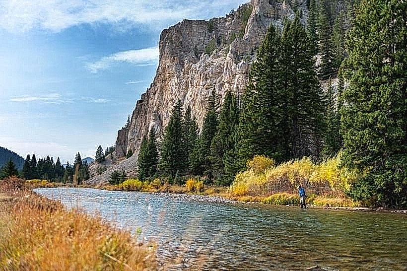
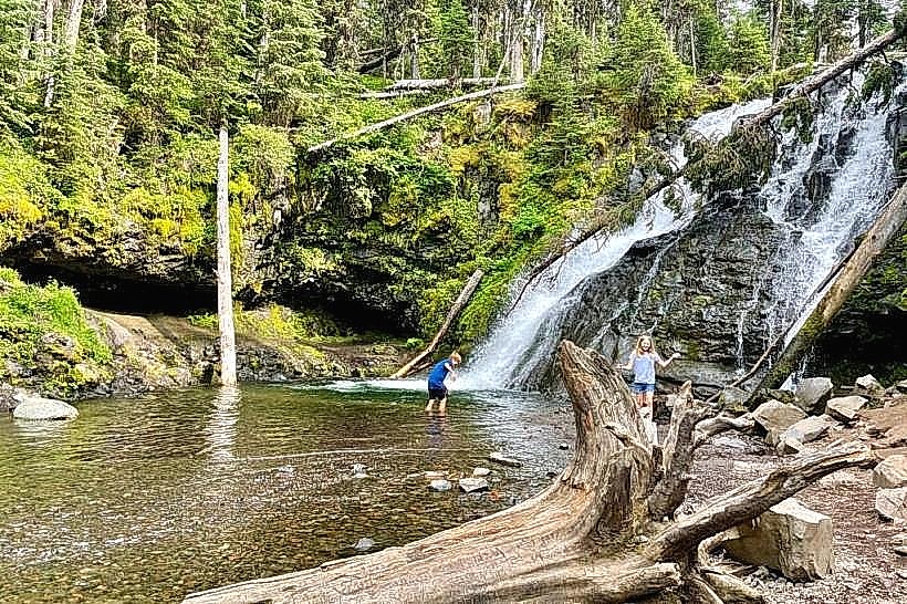
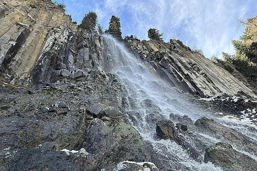
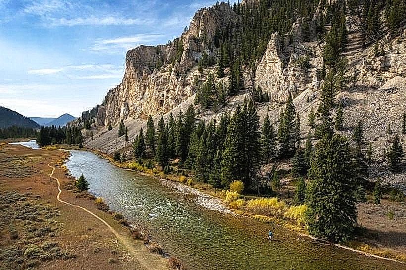
Hiking is the primary activity. The Spanish Peaks Trail offers a challenging ascent to the saddle between the two peaks. Shorter trails explore the lower canyons and offer views of waterfalls. Rock climbing opportunities exist on some of the granite faces. Wildlife viewing, including elk and bighorn sheep, is possible.
Infrastructure & Amenities
Restrooms are available at the Hyalite Creek Trailhead and other designated picnic areas within Hyalite Canyon. Shade is abundant within the forested areas. Cell phone signal is intermittent and generally unavailable at higher elevations or deep within the canyons. Food vendors are not present at the trailheads; visitors should bring their own supplies.
Best Time to Visit
The best months for hiking are typically July through September, when snow has largely receded from the trails. Mid-morning offers good lighting for photography of the peaks. Early morning can provide opportunities for wildlife observation. Access via Hyalite Canyon Road is generally open year-round, but winter conditions can make it impassable without specialized vehicles.
Facts & Legends
A local legend suggests that the peaks were named after a group of Spanish prospectors who were lost in the area centuries ago. More concretely, the peaks are a significant feature in the Gallatin National Forest's wilderness study areas, preserving their natural character.
Nearby Landmarks
- Hyalite Reservoir (0.8km North)
- Palisade Falls (2.1km North)
- Grotto Falls (3.5km North)
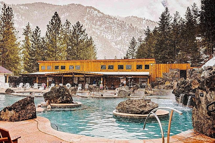
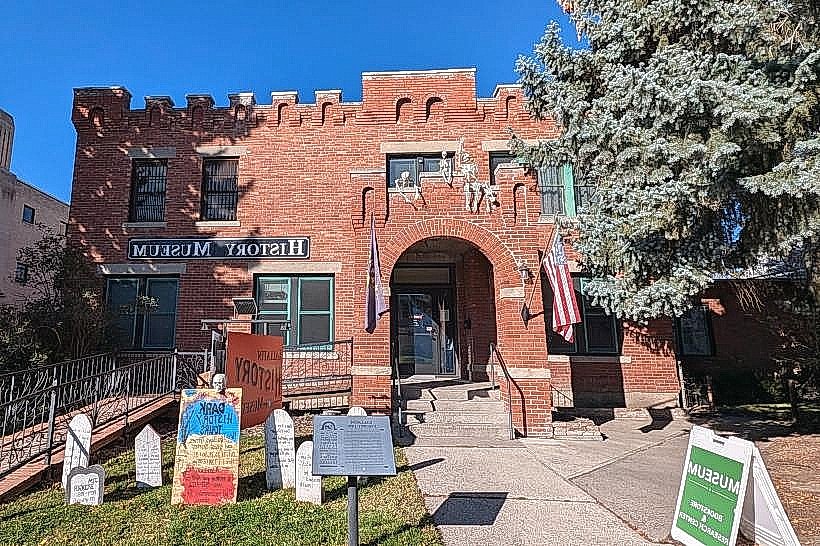
- Bozeman (25km North)