Information
Landmark: Gallatin RiverCity: Bozeman
Country: USA Montana
Continent: North America
Gallatin River, Bozeman, USA Montana, North America
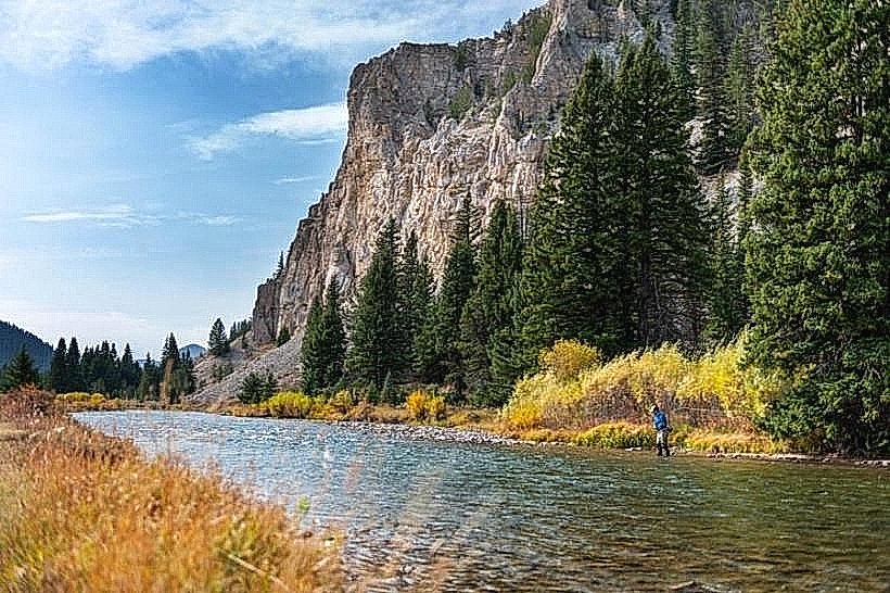
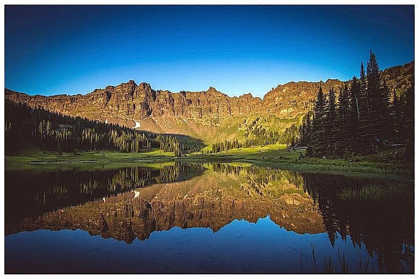
The Gallatin River is a significant waterway flowing through Gallatin County, Montana, originating in the Gallatin National Forest.
It is a principal tributary of the Missouri River.
Visual Characteristics
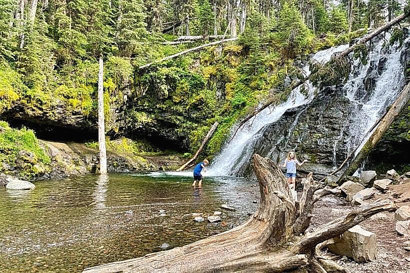
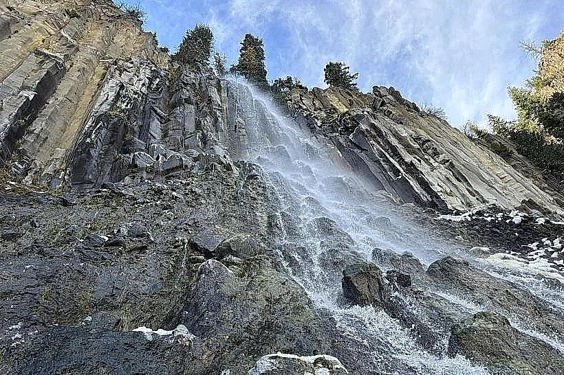
The river exhibits a clear to slightly turbid water color, varying with recent precipitation. Its width ranges from approximately 50 to 150 feet in the surveyed sections. The riverbed consists of a mix of gravel, cobble, and larger boulders. Riparian vegetation, primarily cottonwood trees and various grasses, lines its banks.
Location & Access Logistics
The Gallatin River is accessible via multiple points near Bozeman, Montana. U.S. Highway 191 runs parallel to a substantial portion of the river south of Bozeman. Several Forest Service roads, such as Forest Road 108 (South Cottonwood Road) and Forest Road 62 (Hyalite Canyon Road), provide access to different sections. Parking is available at designated pull-offs and trailheads along these routes. Public transport options directly to river access points are limited; travel by private vehicle is recommended.
Historical & Ecological Origin
The Gallatin River is a natural fluvial system, shaped by glacial and erosional processes over millennia. Its ecological classification is a cold-water fishery, supporting native trout populations. Historically, it served as a transportation and resource corridor for indigenous peoples and early settlers.
Key Highlights & Activities
Fishing for trout (rainbow, brown, cutthroat) is a primary activity. Kayaking and rafting are possible during periods of sufficient flow, particularly in the upper sections. Hiking trails follow sections of the river, offering access for observation and recreation.
Infrastructure & Amenities
Basic amenities are present at some access points, including primitive campsites and vault toilets in designated Forest Service areas. Cell phone signal (4G/5G) is intermittent and generally unavailable in more remote sections. No food vendors are permanently stationed along the river; visitors should bring supplies.
Best Time to Visit
The optimal time for fishing is from late spring through fall, with reduced insect activity and clearer water in September and October. For water sports, flows are typically best from May to July. Mid-morning to late afternoon provides consistent lighting for photography.
Facts & Legends
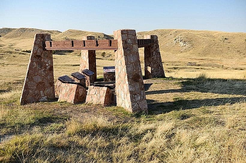
The river was named by Lewis and Clark in 1805 after Albert Gallatin, then Secretary of the Treasury. A specific geological feature known as the "Gallatin Stone" is found in the riverbed in certain areas, characterized by its porous texture.
Nearby Landmarks
- Hyalite Reservoir (15km South)
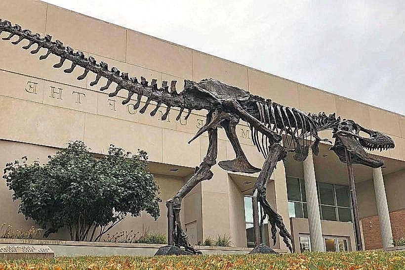
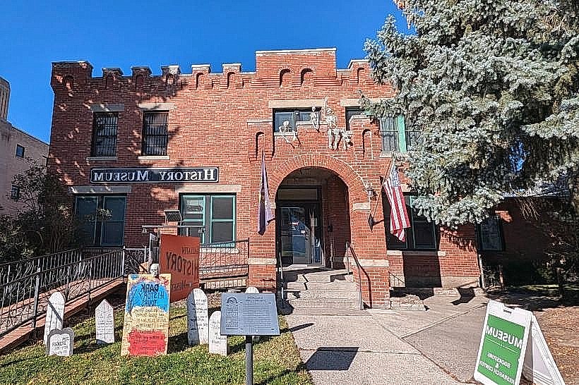
- Museum of the Rockies (10km Northwest)
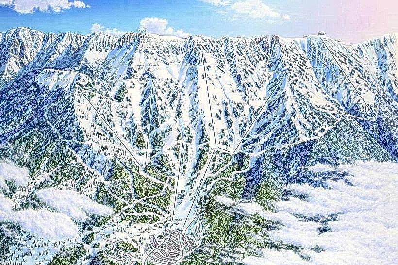
- Bridger Bowl Ski Area (20km North)
- Montana State University (11km Northwest)