Information
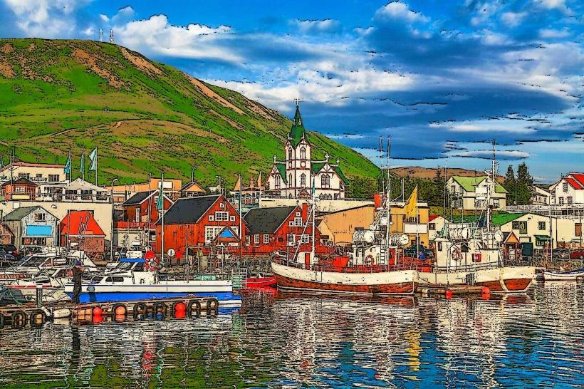
Landmark: Grímsvötn CraterCity: Akureyri
Country: Iceland
Continent: Europe
Grímsvötn Crater, Akureyri, Iceland, Europe
Visual Characteristics
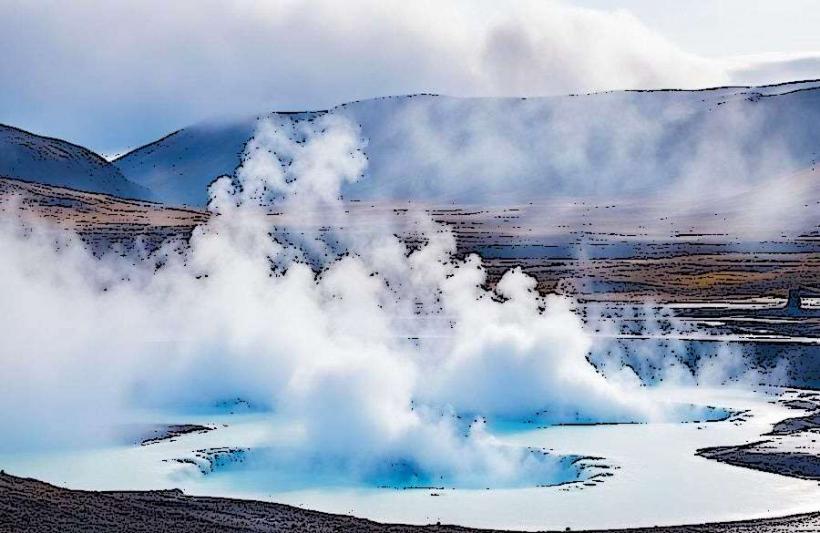
The Grímsvötn caldera is largely covered by a thick layer of glacial ice, making its direct visual characteristics limited to satellite imagery or aerial views. When visible, it presents as a large depression in the ice surface, often containing a subglacial lake. During eruptions, ash plumes can rise thousands of meters, and meltwater can create ice cauldrons or fissures on the glacier surface. The surrounding environment is characterized by vast expanses of white glacier ice, with occasional nunataks (rocky peaks protruding from the ice) on the caldera rim.
Location & Access Logistics
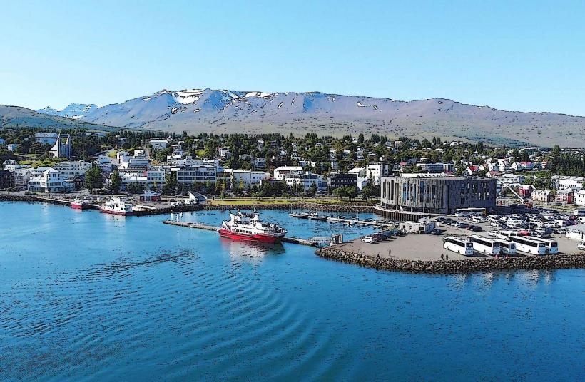
Grímsvötn is located within the central highlands of Iceland, approximately 400 kilometers southeast of Akureyri. Direct access is not possible via conventional roads or public transport. Reaching the site requires specialized glacier travel, typically by super jeep, snowmobile, or helicopter, departing from base camps closer to the Vatnajökull glacier, such as those near Skaftafell or Jökulsárlón. There are no designated parking facilities or public transport routes to the immediate vicinity of the crater.
Historical & Ecological Origin
Grímsvötn is a central volcano and caldera system, part of Iceland's Eastern Volcanic Zone. It formed through repeated volcanic eruptions and subsequent collapse, creating a large depression beneath the ice. It is one of Iceland's most active volcanoes, characterized by frequent subglacial eruptions that often lead to jökulhlaups (glacial outburst floods) as meltwater accumulates in the subglacial lake and then rapidly drains. The system is primarily basaltic in composition.
Key Highlights & Activities
Activities at Grímsvötn are limited to highly specialized scientific expeditions and extreme adventure tours. Observation of volcanic activity, including ash plumes and ice cauldrons, is possible during eruption periods from a safe distance. Scientific research on glaciology, volcanology, and geothermal activity is conducted by authorized teams. Glacier trekking and snowmobiling expeditions are offered by specialized tour operators to the broader Vatnajökull area, but direct access to the active caldera is restricted and dangerous.
Infrastructure & Amenities
There are no permanent infrastructure or amenities at Grímsvötn Crater. The environment is remote and inhospitable. Restrooms, shade, and food vendors are not available. Cell phone signal (4G/5G) is generally absent or extremely unreliable in the immediate vicinity, requiring satellite communication for safety.
Best Time to Visit
Visiting Grímsvötn is not recommended for general tourism due to its extreme conditions and hazards. For scientific expeditions or highly specialized tours, winter months (November to March) may offer more stable ice conditions for glacier travel, though with extreme cold and limited daylight. Summer months (June to August) provide longer daylight hours but can involve more meltwater and crevasses. Observing eruptions is unpredictable and highly dangerous, requiring immediate evacuation from the area.
Facts & Legends
Grímsvötn is renowned for its periodic jökulhlaups, massive glacial outburst floods caused by geothermal heat melting the ice above the subglacial lake. These floods can release millions of cubic meters of water, carrying icebergs and debris, and have historically caused significant damage to infrastructure downstream. The largest recorded jökulhlaup from Grímsvötn occurred in 1996, following a subglacial eruption.
Nearby Landmarks
- Grímsfjall: 2km West. An ice-free nunatak on the western rim of the Grímsvötn caldera, often used as a base for scientific monitoring.
- Grímsvötn Subglacial Lake: 0.5km South. The primary subglacial lake within the caldera, known for its geothermal activity and meltwater accumulation.
- Grímsvötn Caldera Rim: 1-3km in various directions. The elevated edge of the caldera, defining the volcanic depression beneath the ice.