Information
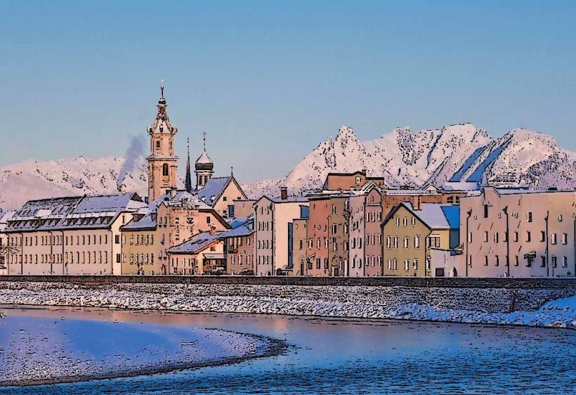
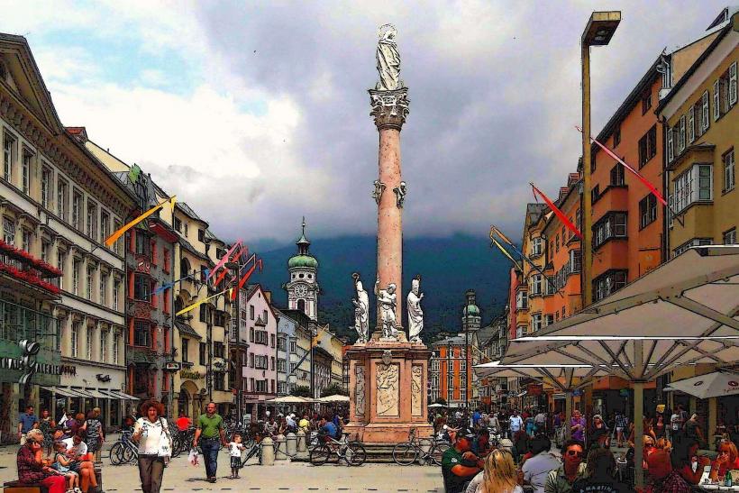
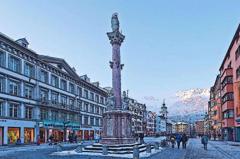
Landmark: Grossvenediger MountainCity: Innsbruck
Country: Austria
Continent: Europe
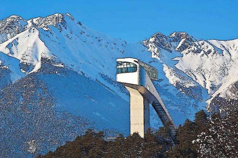
Grossvenediger Mountain, Innsbruck, Austria, Europe
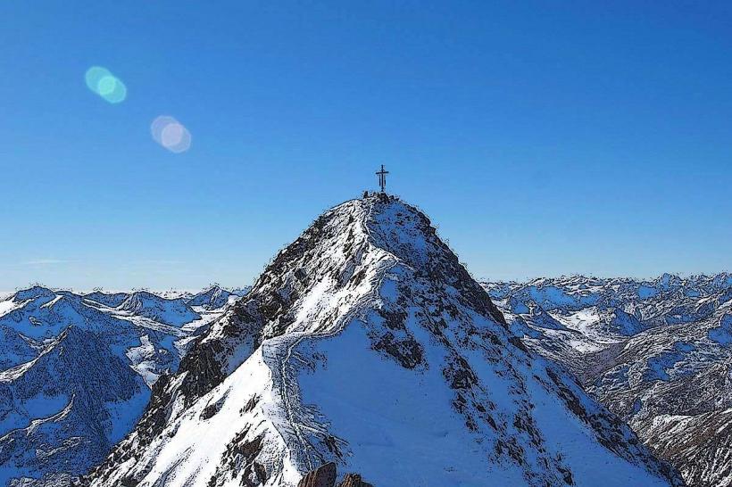
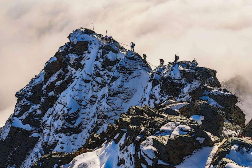
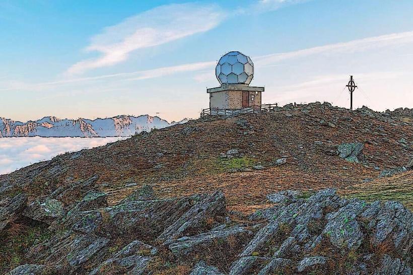
The Großvenediger is the highest peak in the Venediger Group of the High Tauern mountains. At 3,657 meters (11,998 feet), it is the fourth-highest mountain in Austria. It is located on the border between East Tyrol and Salzburg, approximately 95 km (59 miles) southeast of Innsbruck.
Visual Characteristics
The mountain is known as the "Weltalte Majestät" (World-Old Majesty) due to its massive, symmetrical pyramid shape and extensive glacial coverage. It is almost entirely encased in white ice, with the Schlatenkees and Obersulzbachkees being its most prominent glaciers. The summit is a narrow snow ridge that offers an unobstructed 360-degree view of the Eastern Alps.
Location & Access Logistics
Base Points: The primary southern access point is Prägraten am Großvenediger (Virgen Valley, East Tyrol). The northern access is through the Obersulzbachtal (Salzburg).
From Innsbruck:
Vehicle: A 2.5-hour drive via the A12, through the Felbertauern Tunnel (toll road) to East Tyrol.
Transit: Rail to Lienz, followed by regional bus 951 to Prägraten.
The Ascent: The standard route from the south (via the Defreggerhaus) is considered a technically "easy" glacier trek but requires high-altitude endurance and rope-team experience.
Historical & Geological Origin
The mountain consists primarily of Tauern Window gneiss and schist. The first successful ascent was made in 1841 by a party of 40 men led by Ignaz von Kürsinger, 41 years after the first ascent of the Großglockner. The name "Großvenediger" (Great Venetian) is historically attributed to the theory that the view from the summit extends as far as Venice, though this is geographically debated.
Key Highlights & Activities
High-Alpine Mountaineering: A classic "Skijäger" (ski touring) destination in spring and a popular mountaineering target in summer.
Venediger High Trail: A multi-day trekking route that circumnavigates the mountain at elevations between 2,000 and 3,000 meters.
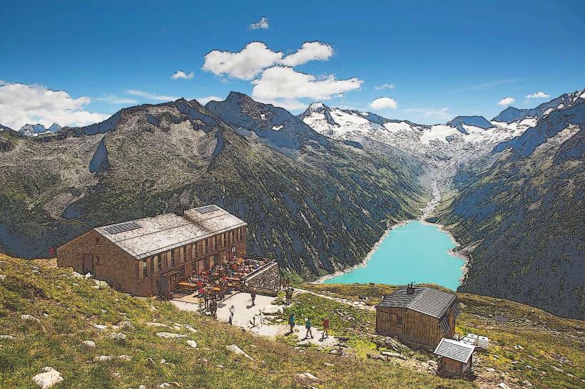
Refuges: Key bases include the Defreggerhaus (2,962 m) to the south and the Kürsingerhütte (2,558 m) to the north.
Infrastructure & Amenities
Technical Requirements: The ascent crosses heavily crevassed glaciers. Crampons, ice axes, and ropes are mandatory. High-altitude mountain guides are available in Prägraten and Neukirchen.
Connectivity: 5G/LTE is stable at the valley trailheads and intermittent at the mountain huts; signal is often available at the summit.
Environmental Protection: Located within the Hohe Tauern National Park; strict "Leave No Trace" regulations apply.
Best Time to Visit
Ski Touring: March to May.
Summer Mountaineering: July to September.
Note: The summit ridge can become extremely narrow and dangerous during periods of high wind or heavy snow.
Facts & Legends
Local legend suggests the mountain was named by wandering Italian traders (Venetians) looking for ores. Technically, the Großvenediger is the highest point of the Salzburg state, though its summit lies exactly on the Tyrolean border.
Nearby Landmarks
Umbal Falls – Located in the Virgental valley at the base.
Matrei in Osttirol – 20 km East.
Großglockner – 30 km East.
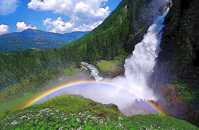
Krimml Waterfalls – 25 km North.