Information
Landmark: Patscherkofel MountainCity: Innsbruck
Country: Austria
Continent: Europe
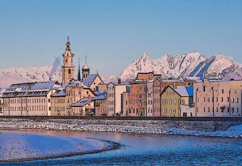
Patscherkofel Mountain, Innsbruck, Austria, Europe
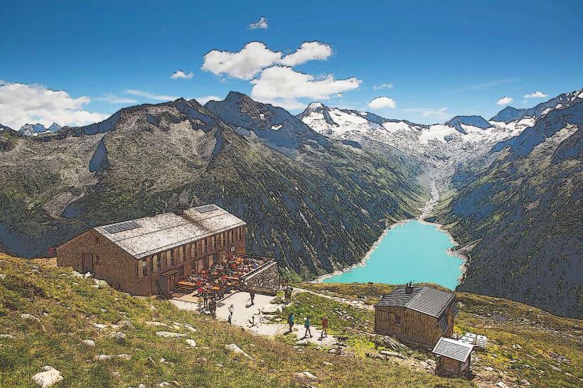
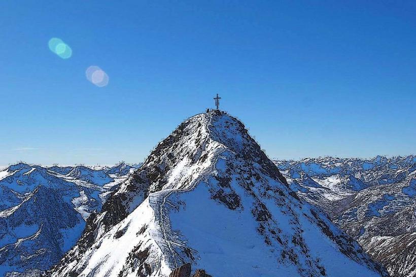
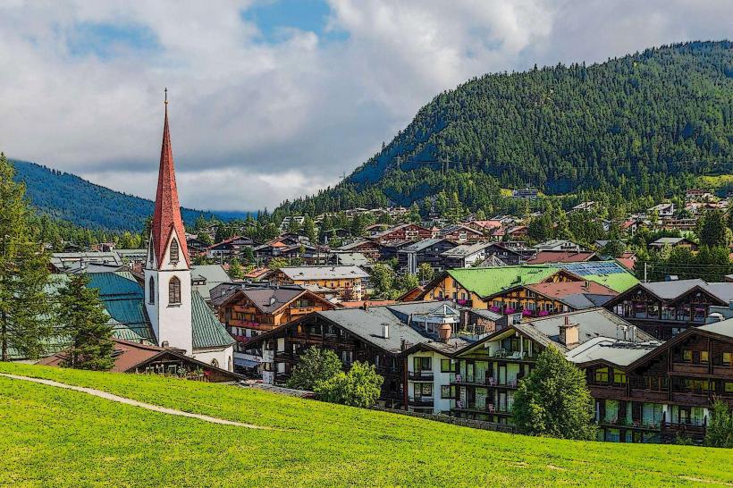
Patscherkofel is a 2,246-meter-high mountain located in the Tux Alps, approximately 7km south of Innsbruck, Austria. Known as Innsbruck’s "Home Mountain," it is characterized by its rounded, dome-like summit and its prominent radio and television transmission tower.
Visual Characteristics
Unlike the jagged limestone cliffs of the Nordkette to the north, Patscherkofel is composed of crystalline slate and primary rock, resulting in gentler, greener slopes. The summit area is dominated by Alpine dwarf shrub heaths and the "Zirbenweg," one of Europe’s largest and oldest stone pine forests. The 167-meter-tall steel lattice transmission tower at the peak is visible from almost any point in the Inn Valley.
Location & Access Logistics
The base station of the Patscherkofelbahn is located at Römerstraße 81, 6080 Igls.
Public Transport: Accessible via Bus Line J (The "J" line), which runs directly from Innsbruck city center (Maria-Theresien-Straße or Hauptbahnhof) to the cable car station.
Vehicle Access: Reached via the B182 or the A13 Brenner Motorway (Patsch/Igls exit). A large parking lot is available at the base station; fees are often discounted with a valid lift ticket.
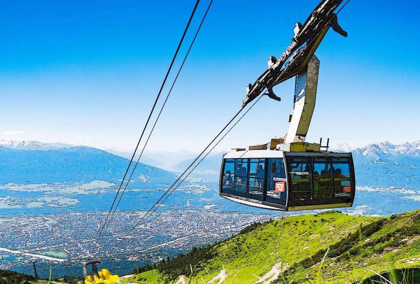
Ascent: A modern 10-person monocable gondola transports visitors from the base (900m) to the mountain station (1,965m).
Historical & Ecological Origin
Patscherkofel gained international recognition as a venue for the Winter Olympic Games in 1964 and 1976, specifically for the Men's Downhill event. Ecologically, the mountain is famous for its stone pine (Zirbe) populations, some of which are centuries old. The high-altitude Botanical Garden (Alpengarten), maintained by the University of Innsbruck, is the highest of its kind in Austria.
Key Highlights & Activities
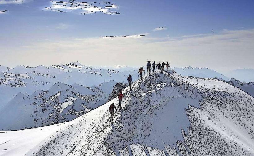
The Zirbenweg: A popular, relatively level panoramic hiking trail at 2,000m elevation that connects Patscherkofel to the Tulfeinalm.
Olympic Downhill Run: In winter, skiers can descend the world-famous course used by Franz Klammer in 1976.
Summit Hike: A paved service road and several steeper trails lead from the mountain station to the summit and the transmission tower (approx. 45–60 minute walk).
Skiing and Snowshoeing: The mountain features 18km of groomed slopes and dedicated snowshoeing trails.
Infrastructure & Amenities
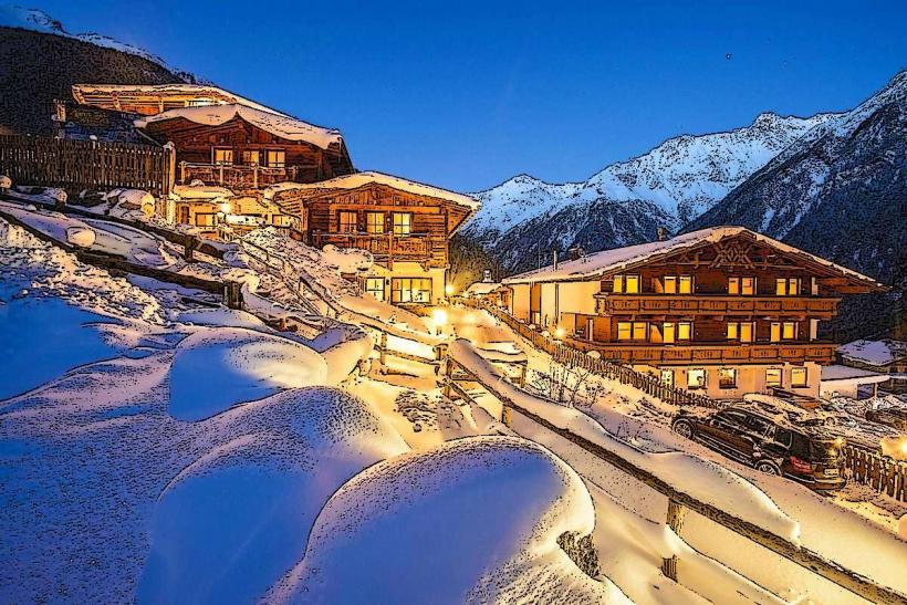
The mountain station houses "Das Hausberg," a large restaurant with a viewing terrace. Several traditional mountain huts, such as the Patscherkofelhaus and the Schutzhaus, provide food and seasonal lodging. 5G cellular coverage is excellent across the northern slopes. The gondola and mountain station facilities are fully wheelchair and stroller accessible.
Best Time to Visit
The "Zirbenweg" is best experienced in June and July when the Alpine roses (Almrausch) are in full bloom. For winter sports, December through March is the primary season. Photography of the Nordkette range across the valley is optimal in the afternoon when the sun illuminates the northern peaks from the south.
Facts & Legends
A historical oddity is the "Klammer-Stich" (Klammer's turn), a specific section of the downhill run where Franz Klammer made a legendary recovery during his 1976 gold medal race. The mountain is also a focal point for the "Föhn" wind, a warm, dry down-slope wind that frequently hits Innsbruck, with Patscherkofel acting as a primary meteorological monitoring station for this phenomenon.
Nearby Landmarks
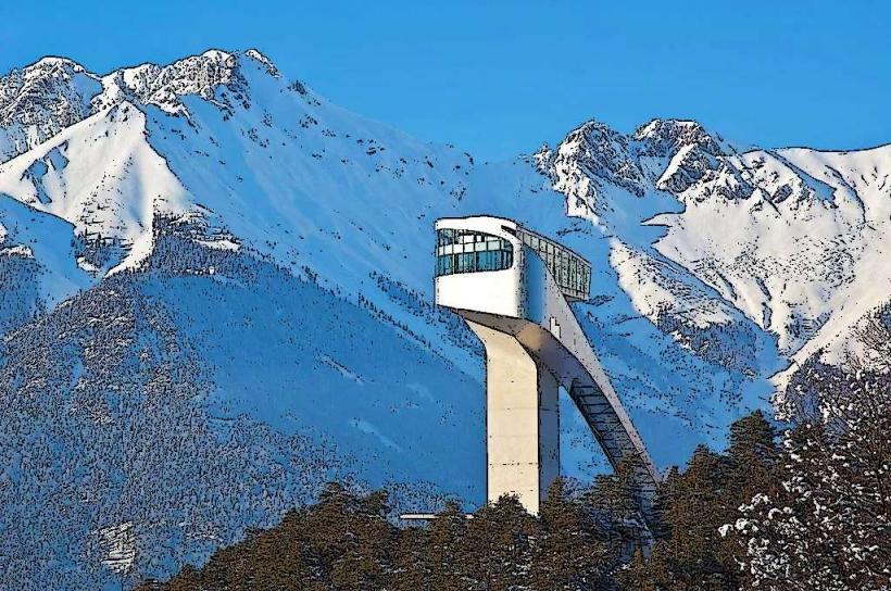
Bergisel Ski Jump – 5.0km North
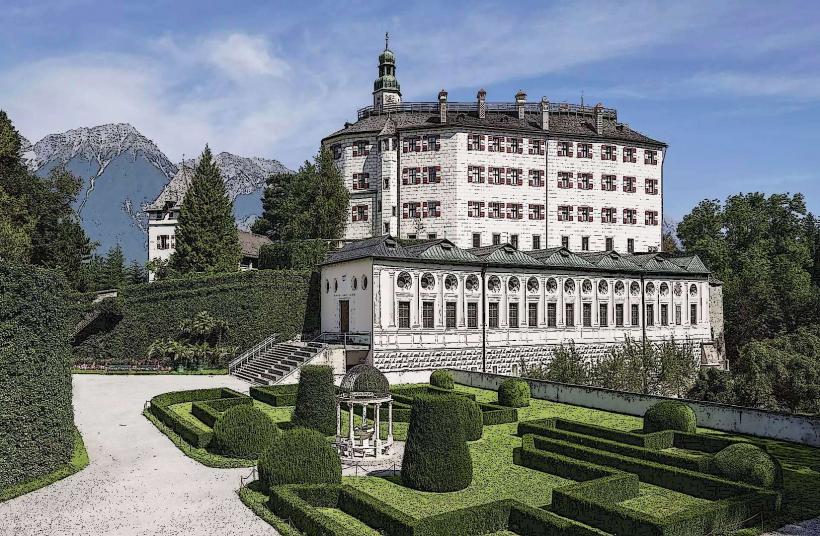
Ambras Castle – 5.0km North
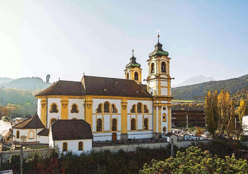
Wilten Basilica – 5.5km North
Mount Serles – 10.0km Southwest
Stubai Glacier – 35.0km Southwest