Information
Landmark: Helicopter Island (Dilumacad Island)City: El Nido
Country: Philippines
Continent: Asia
Helicopter Island (Dilumacad Island), El Nido, Philippines, Asia
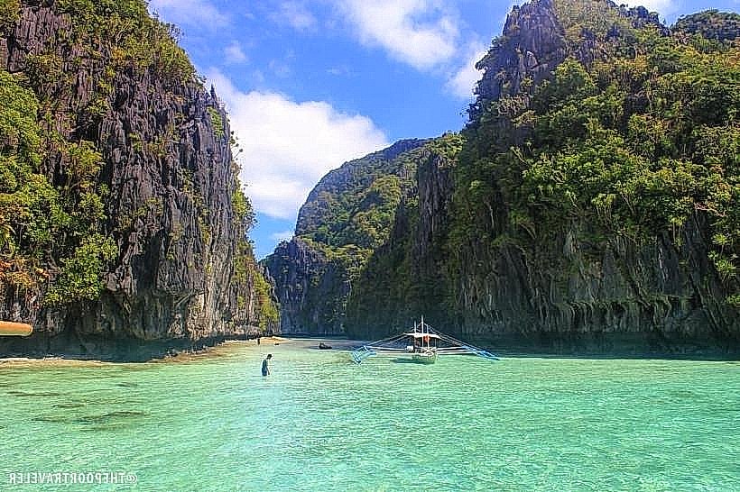
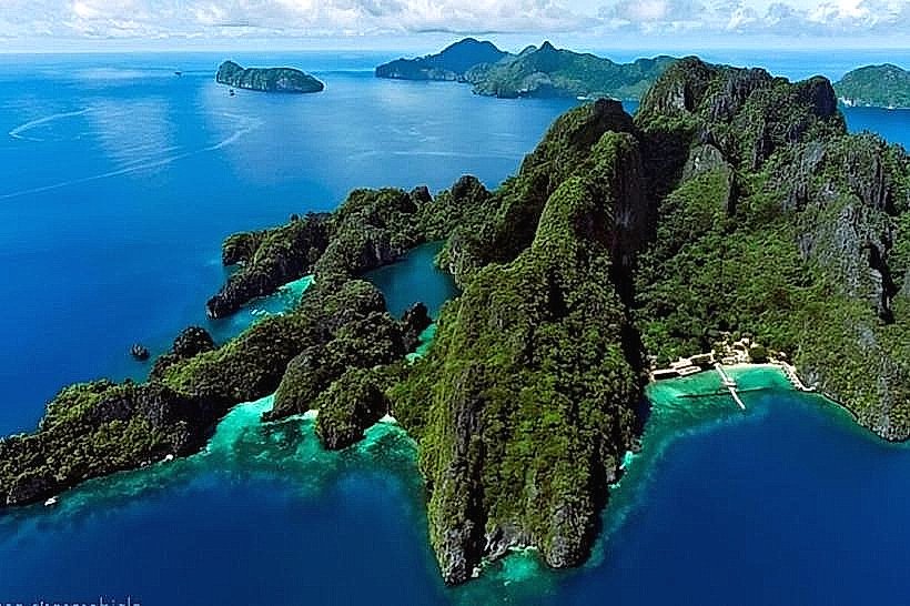
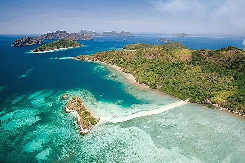
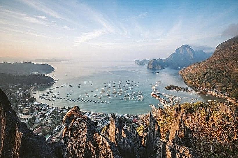
Helicopter Island, officially known as Dilumacad Island, is a prominent landmark in the Bacuit Archipelago, El Nido. It is a signature stop on "Tour C" island-hopping itineraries.
Visual Characteristics
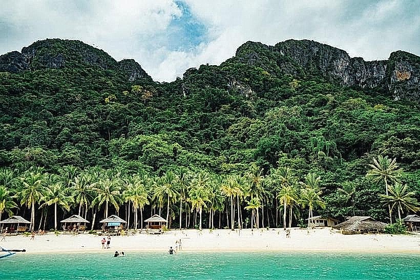
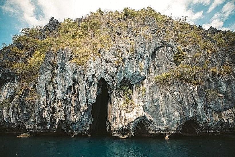
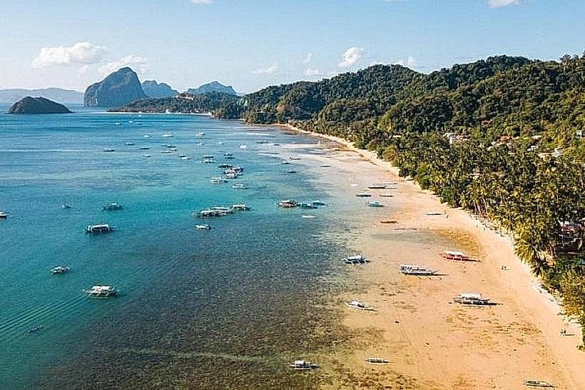
The island is named for its distinct silhouette, which resembles a helicopter without a tail rotor when viewed from a distance. It features a long, 300-meter stretch of fine white sand, towering dark limestone cliffs covered in lush vegetation, and a dramatic underwater drop-off. The waters transition from a clear, shallow turquoise to a deep, intense blue.
Location & Access Logistics
Address: Dilumacad Island, El Nido, Palawan, Philippines.
Access: Only reachable by sea from El Nido town or Corong Corong Beach.
Transport: * Boat: Motorized outrigger boats (bangkas).
Travel Time: Approximately 20–30 minutes from El Nido town center.
Entry: Requires a valid Eco-Tourism Development Fee (ETDF) permit.
Historical & Ecological Origin
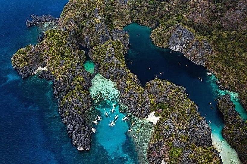
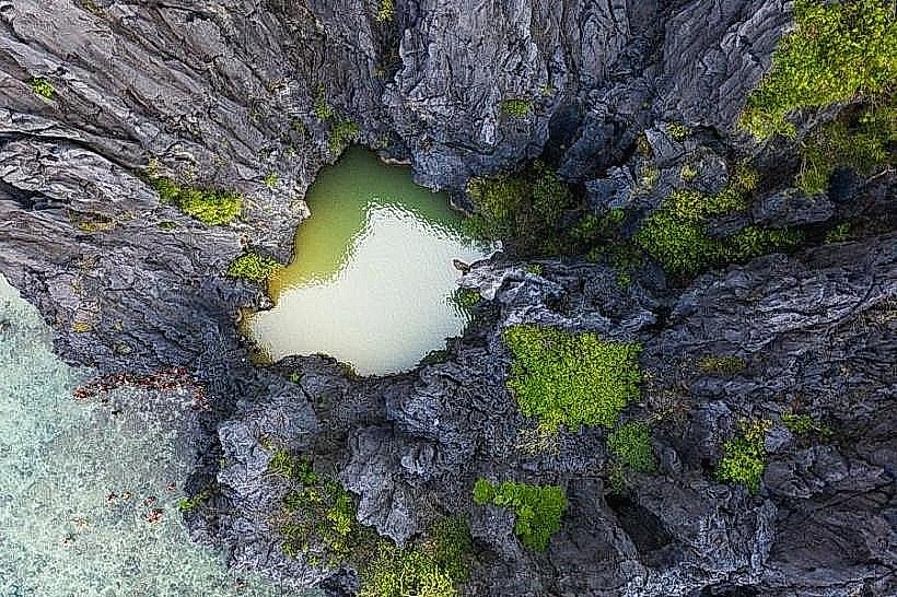
Geologically, the island is part of the massive limestone formation that defines the El Nido-Taytay Managed Resource Protected Area. It serves as a vital nesting ground for various sea birds and is surrounded by extensive coral reefs that support a high density of marine biodiversity.
Key Highlights & Activities
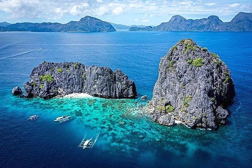
Snorkeling: The northern side of the island features a shallow reef with diverse coral and fish species.
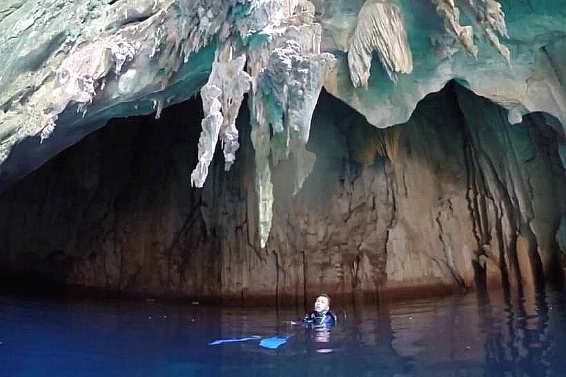
Diving: The underwater drop-off and tunnel at the southern end are popular spots for advanced divers.
Sunbathing: The wide sandy beach provides ample space for relaxation.
Photography: The iconic "helicopter" shape is best captured from the boat during the approach.
Infrastructure & Amenities
The island is kept in a natural state with no permanent buildings, shops, or restrooms. All equipment and refreshments are brought by tour operators. Cellular signal is extremely weak or absent due to the island's high karst topography.
Best Time to Visit
Dry Season (December to May): Ensures calm waters and high visibility for snorkeling.
Morning: Early arrivals avoid the peak influx of tour groups and the midday heat.
Rules
No Single-Use Plastics: Strictly prohibited.
Marine Protection: Do not step on coral reefs; use of reef-safe sunscreen is encouraged.
Waste Management: "Carry in, carry out" policy is strictly enforced.
Nearby Landmarks
Cadlao Island: 4.0 km North.
Matinloc Shrine: 5.0 km West.
Seven Commandos Beach: 4.5 km Southeast.