Information
Landmark: Impalila IslandCity: Kasane
Country: Botswana
Continent: Africa
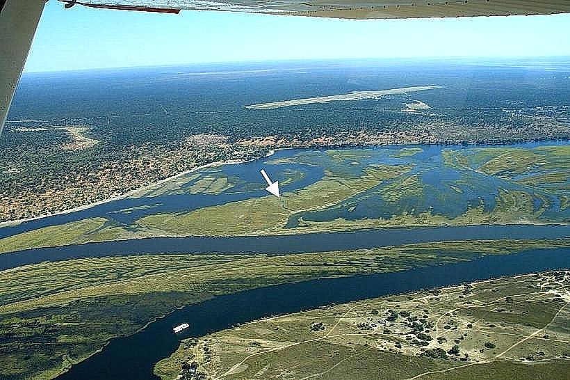
Impalila Island, Kasane, Botswana, Africa
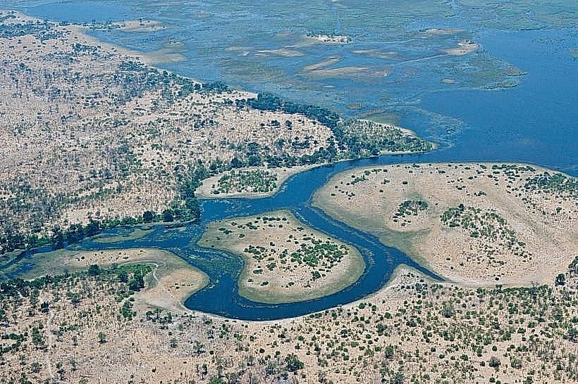
Impalila Island is a landmass situated at the confluence of the Chobe and Zambezi Rivers, bordering Botswana, Namibia, Zambia, and Zimbabwe.
Visual Characteristics
The island is characterized by dense riverine vegetation, primarily acacia and mopane trees, interspersed with open grassland areas. The Chobe River frontage features sandy banks and shallow channels, while the Zambezi River side exhibits a wider, deeper channel. The island's elevation is minimal, with much of it prone to seasonal flooding.
Location & Access Logistics
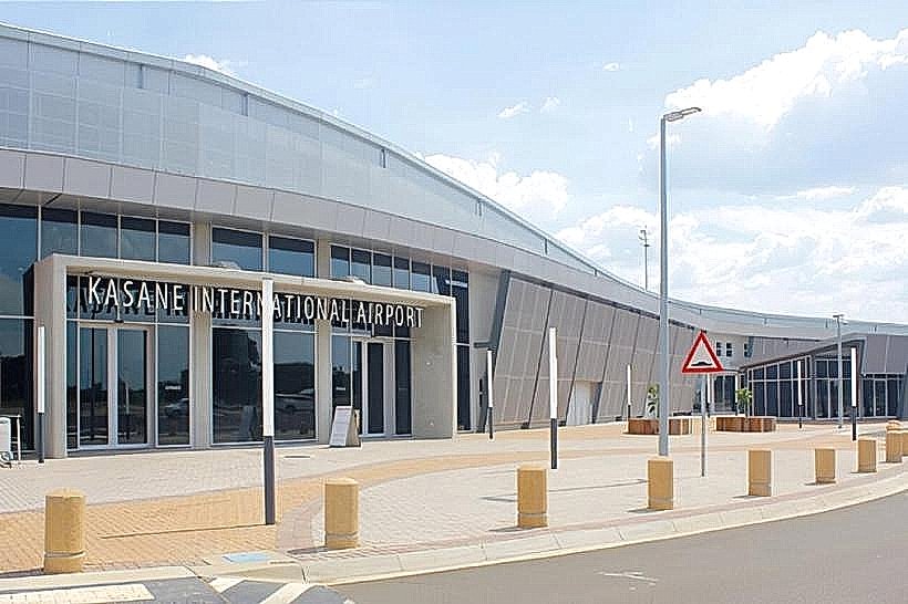
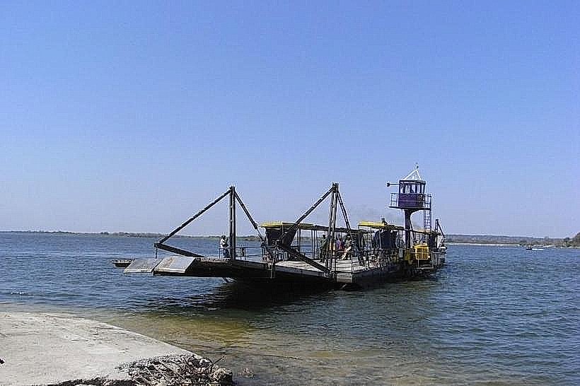
Impalila Island is located approximately 5 kilometers west of Kasane, Botswana. Access is exclusively by boat. Private boat transfers can be arranged from Kasane, typically departing from the Kasane Immigration Jetty. The journey time is approximately 15-20 minutes. There is no public transport to the island. Parking is available at the Kasane Immigration Jetty.
Historical & Ecological Origin
Impalila Island is a natural fluvial island formed by the deposition of sediment at the confluence of the Chobe and Zambezi Rivers. Its ecological significance lies in its position within the Kavango-Zambezi Transfrontier Conservation Area (KAZA TFCA), supporting diverse aquatic and terrestrial wildlife.
Key Highlights & Activities
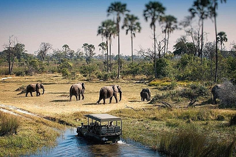
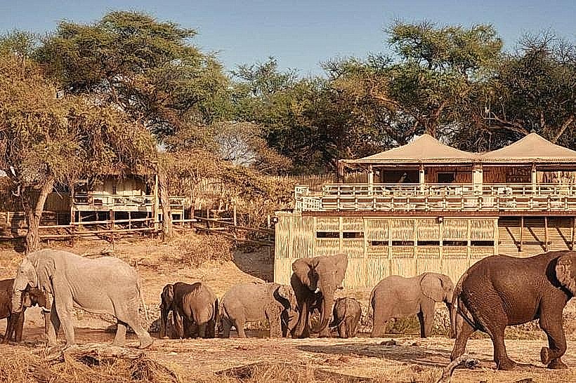
Activities include boat-based game viewing along the Chobe River, fishing (catch and release is encouraged), bird watching, and guided nature walks on the island. Sunset boat cruises are a common offering. Visitors can observe wildlife at the riverbanks, including elephants, hippos, and various antelope species.
Infrastructure & Amenities
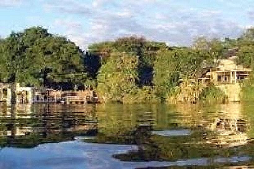
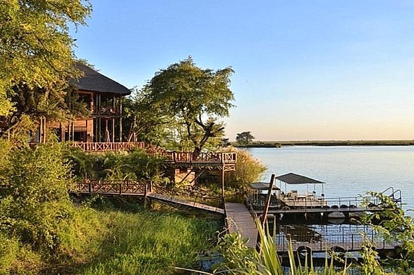
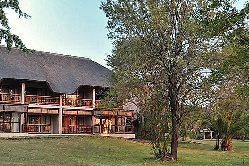
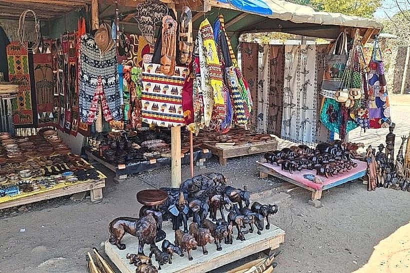
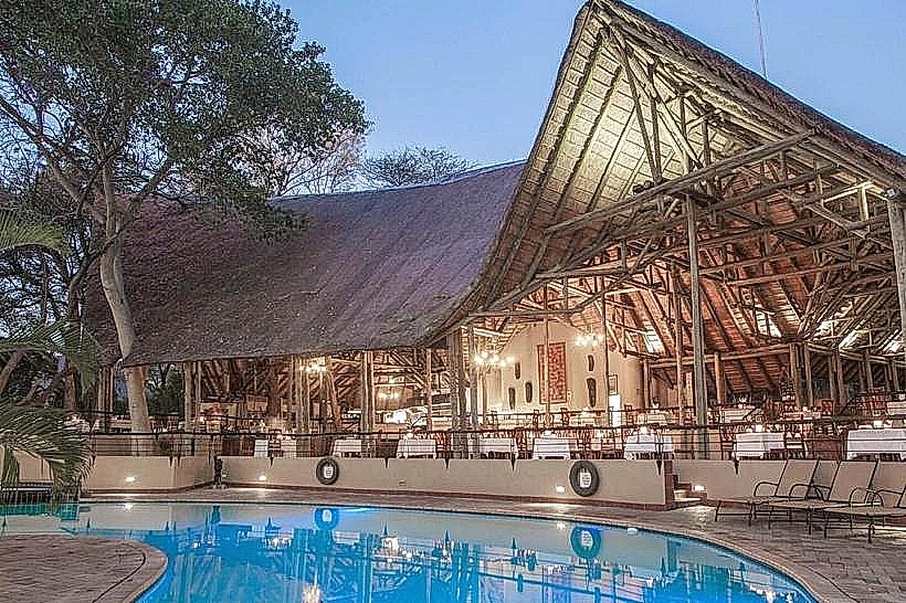
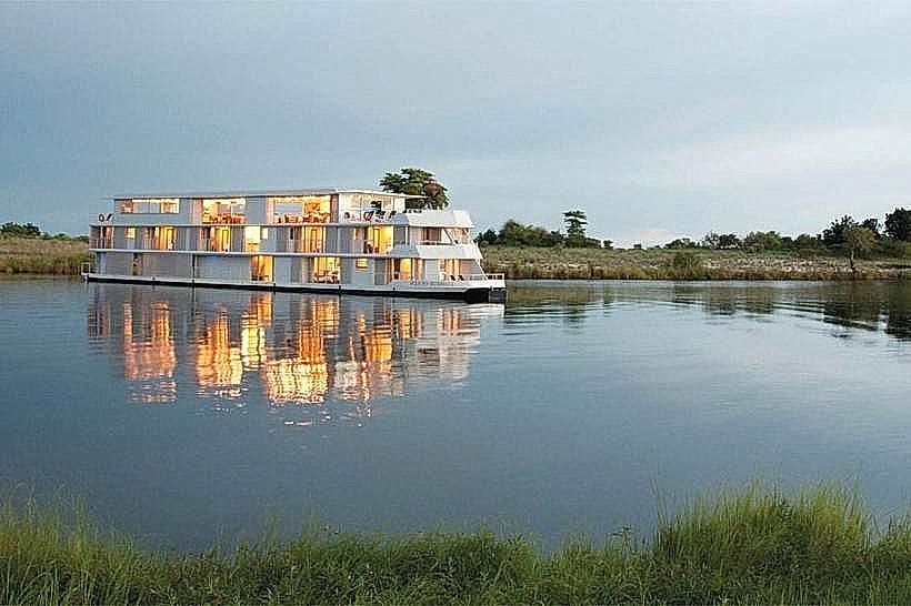
Limited infrastructure exists on Impalila Island, primarily consisting of a few safari lodges. These lodges provide accommodation, meals, and organized activities. Restrooms and shade are available within lodge premises. Cell phone signal (4G/5G) is generally available but can be intermittent depending on the lodge's location and network coverage.
Best Time to Visit
The dry season, from May to October, offers the best wildlife viewing opportunities as animals congregate at the rivers. The best time of day for photography is early morning and late afternoon due to favorable lighting conditions. High tide is not a critical factor for access, but water levels can influence wildlife visibility.
Facts & Legends
Impalila Island is known as the "Four Corners" of Africa due to its unique geographical position where four countries meet. A local legend speaks of a giant crocodile that guards the confluence, ensuring the balance of the rivers.
Nearby Landmarks
- Chobe National Park (Botswana) - 2km West
- Victoria Falls (Zimbabwe/Zambia) - 110km East
- Livingstone (Zambia) - 90km East
- Caprivi Strip (Namibia) - Adjacent