Information
Landmark: Savute ChannelCity: Kasane
Country: Botswana
Continent: Africa
Savute Channel, Kasane, Botswana, Africa
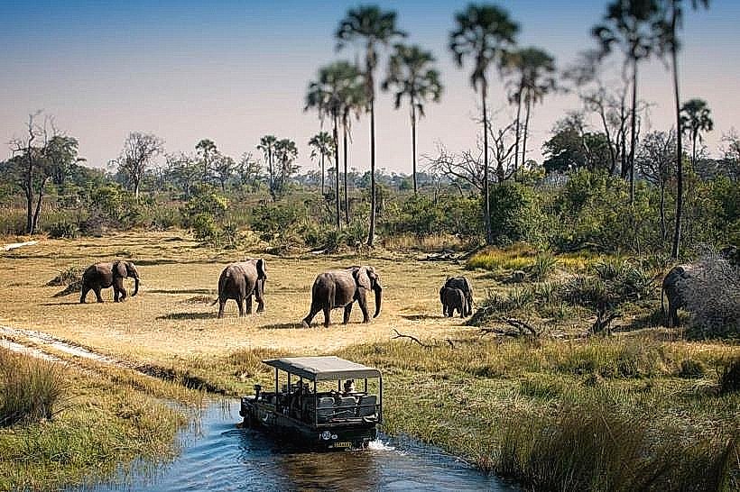
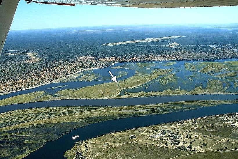
The Savute Channel is a dry riverbed located in the Chobe National Park, Botswana. It is known for its unpredictable water flow and the wildlife it attracts.
Visual Characteristics
The channel is a sandy, dry riverbed, approximately 100 meters wide in most sections. Vegetation along its banks consists of acacia trees, mopane scrub, and tall grasses. During periods of water flow, the channel can be several meters deep.
Location & Access Logistics
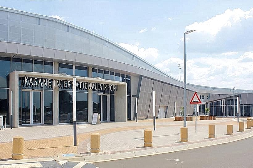
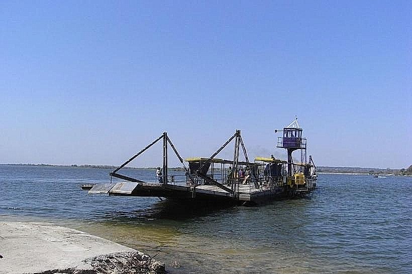
The Savute Channel is situated in the southwestern sector of Chobe National Park. Access is via the park's main road network from the Kasane entrance gate, approximately 100 kilometers away. The final approach to the channel is via unpaved park roads, requiring a 4x4 vehicle. No public transport operates within the park. Parking is available at designated viewing points and campsites.
Historical & Ecological Origin
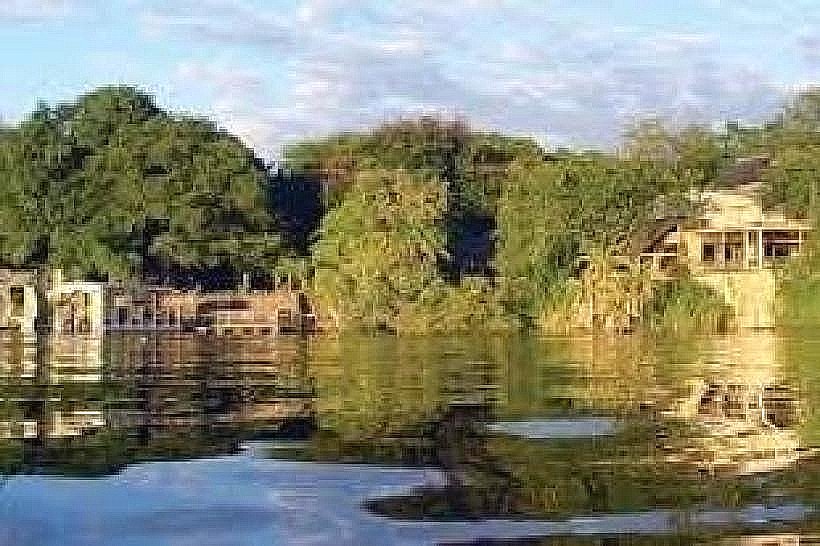
The Savute Channel is a geologically complex feature, believed to be part of a larger ancient lake system. Its water flow is influenced by tectonic activity and rainfall patterns in Angola, which feed the headwaters of the river system. The channel has a history of drying up for decades and then suddenly refilling.
Key Highlights & Activities
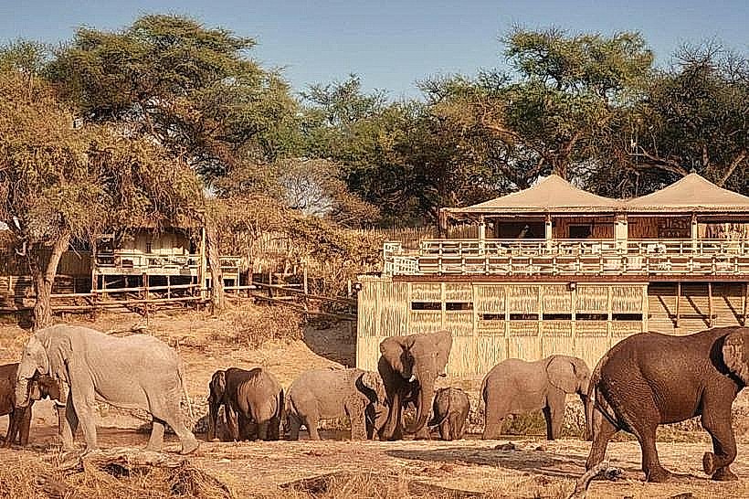
Wildlife viewing is the primary activity. Specific areas along the channel are known for concentrations of lions, elephants, hyenas, and various antelope species. Boat safaris are not possible due to the dry nature of the channel. Walking safaris are restricted to designated areas and require a guide.
Infrastructure & Amenities
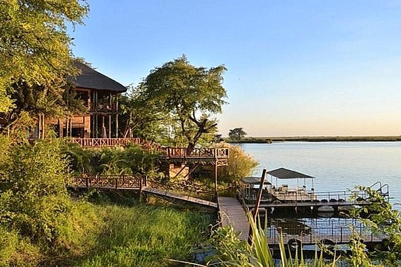
Limited infrastructure exists. There are designated campsites with basic ablution facilities (pit latrines) and no running water. Cell phone signal is generally absent. No food vendors are present within the immediate vicinity of the channel; visitors must carry their own supplies.
Best Time to Visit
The dry season, from May to October, offers the best wildlife viewing opportunities as animals congregate around remaining water sources. The best time of day for photography is early morning and late afternoon due to the quality of light. High tide is not applicable as it is a dry riverbed.
Facts & Legends
The Savute Channel has a documented history of periods of prolonged dryness, sometimes lasting over 50 years, followed by sudden re-emergence of water. Local folklore attributes these changes to the actions of ancestral spirits.
Nearby Landmarks
- Savute Marsh (0.5km West)
- Gomoti River (15km North)
- Linyanti River (25km South)
- Chobe Riverfront (100km Northeast)