Information
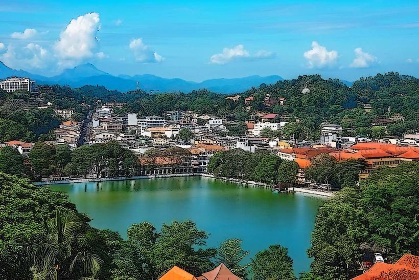
Landmark: Knuckles Mountain RangeCity: Kandy
Country: Sri Lanka
Continent: Asia
Knuckles Mountain Range, Kandy, Sri Lanka, Asia
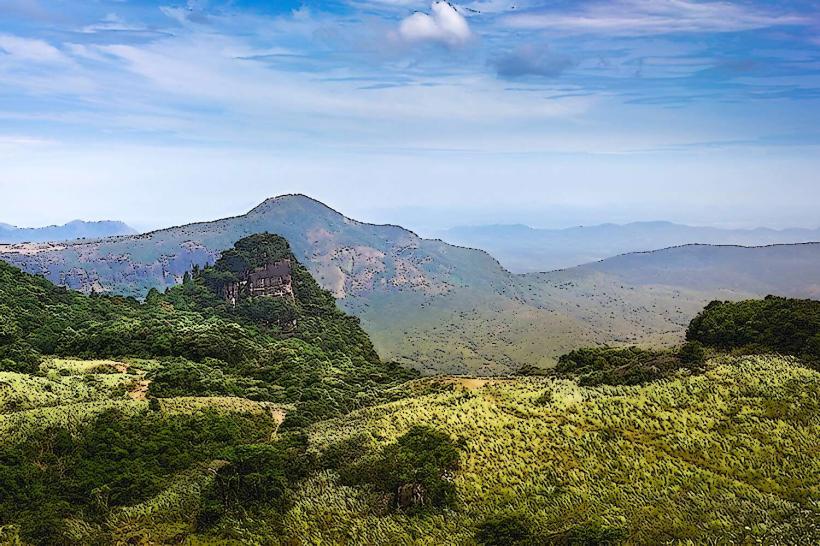
The Knuckles Mountain Range is a distinct mountain massif located in the central highlands of Sri Lanka, north-east of Kandy.
This geographical formation is characterized by its serrated, knuckle-like peaks, which give the range its name.
Visual Characteristics
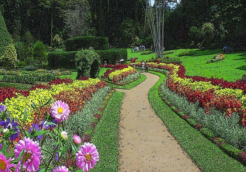
The range features steep escarpments, deep valleys, and cloud forests. Elevations range from approximately 300 to over 1,800 meters. Vegetation is dense, comprising montane forests, grasslands, and tea plantations at lower elevations. Rock formations are primarily metamorphic, including quartzite and gneiss.
Location & Access Logistics
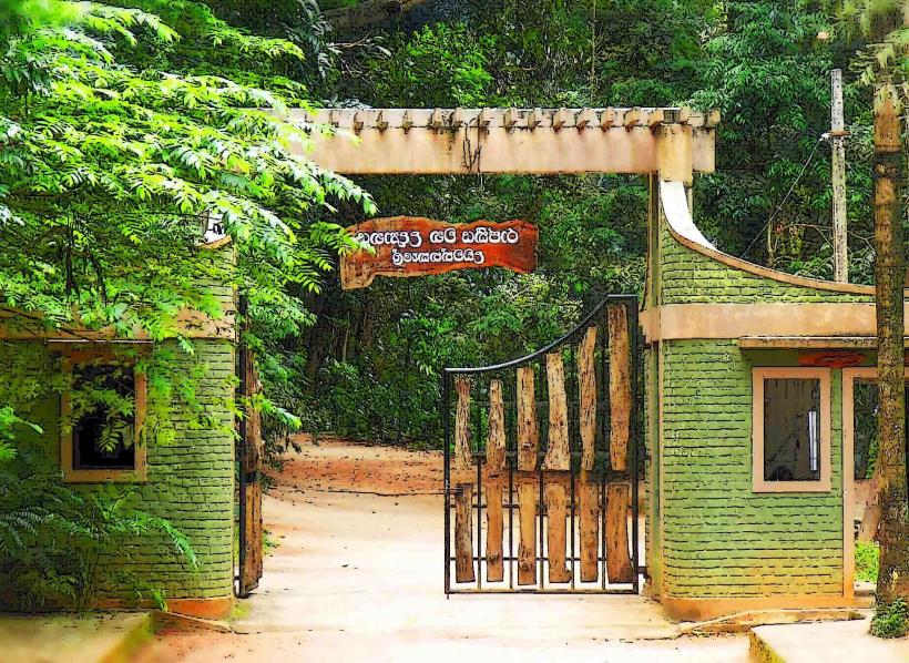
The Knuckles Mountain Range is accessible from Kandy via the A26 road towards Mahiyanganaya. The primary access point is the village of Wattegama, approximately 25km from Kandy. Further access to trailheads is via unpaved roads, often requiring a 4WD vehicle. Public transport to Wattegama is available via bus routes originating from Kandy. Limited parking is available at trailheads.
Historical & Ecological Origin
The Knuckles Mountain Range is a geological formation of Precambrian metamorphic rocks, primarily gneiss and quartzite, dating back over 600 million years. It is classified as a tropical montane forest ecosystem, supporting high levels of biodiversity and endemism.
Key Highlights & Activities
Hiking is the primary activity, with trails such as the Corbett's Gap trail and the Pitawala Pathana trail. Birdwatching is possible throughout the year. Photography opportunities exist at sunrise and sunset, particularly from viewpoints like Corbett's Gap. Camping is permitted in designated areas with prior authorization.
Infrastructure & Amenities
Basic facilities are available in villages surrounding the range, such as Wattegama and Rangala, including small shops and guesthouses. Restrooms are generally not available at trailheads. Cell phone signal is intermittent and often unavailable within the core range. Shade is provided by forest canopy.
Best Time to Visit
The best months for visiting are generally from December to April, during the dry season. The period from May to October can experience heavy rainfall. For photography, early morning light offers clear views before cloud cover typically forms around mid-morning.
Facts & Legends
The range is known for its unique microclimates, with some areas receiving significantly higher rainfall than others. Local folklore speaks of ancient spirits inhabiting the higher peaks.
Nearby Landmarks
- Dumbara Valley (0.5km West)
- Ritigala Strict Nature Reserve (25km North-East)
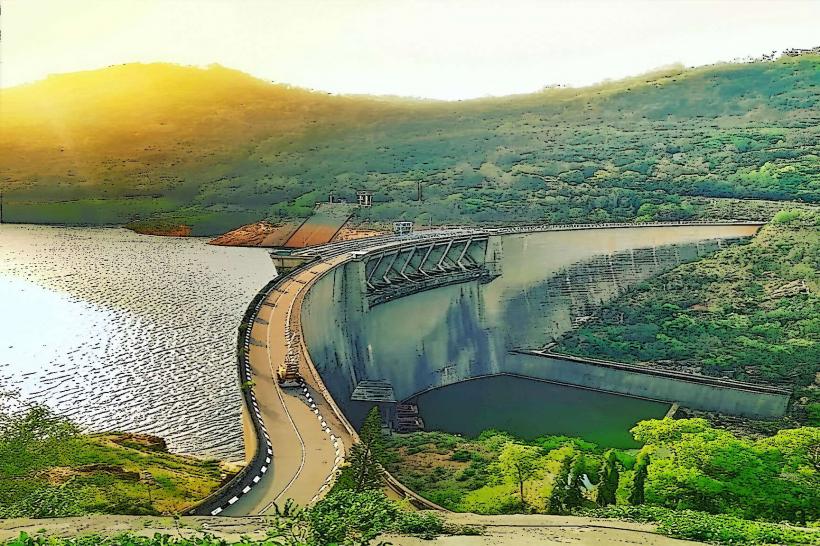
- Victoria Reservoir (15km South-West)
- Hunnas Falls (10km South)
- Riverston Peak (12km North)