Information
Landmark: KomižaCity: Hvar
Country: Croatia
Continent: Europe
Komiža, Hvar, Croatia, Europe
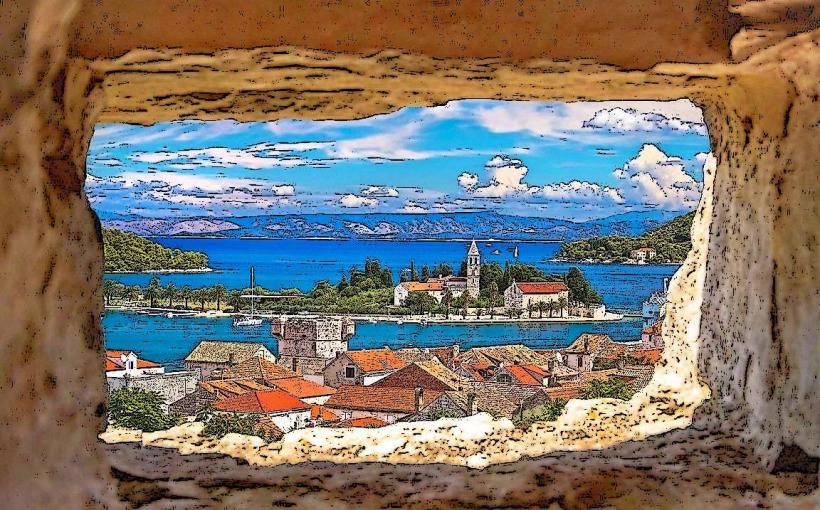
Komiža is a coastal town situated in a deep bay on the western coast of Vis Island, Croatia, approximately 10 kilometers west of Vis Town. It is geographically isolated from the rest of the island by the 587-meter-high Hum hill and serves as a primary hub for maritime and fishing heritage in the central Adriatic.
Visual Characteristics
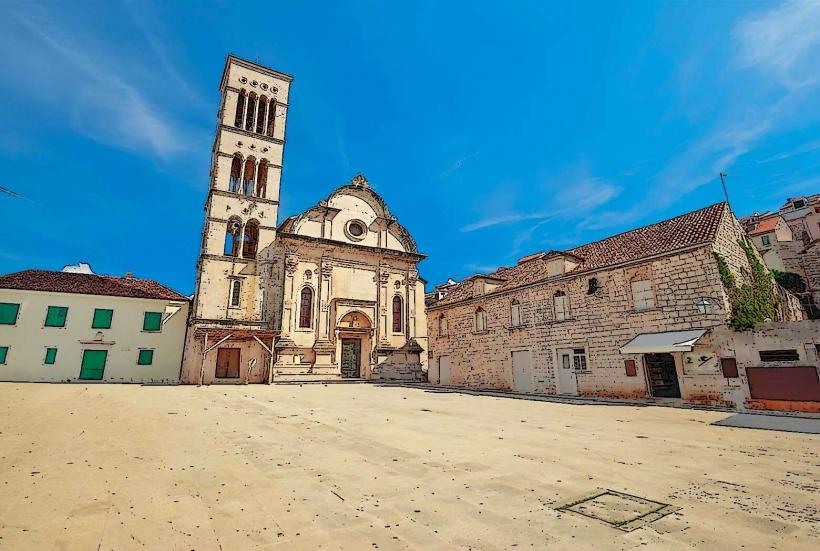
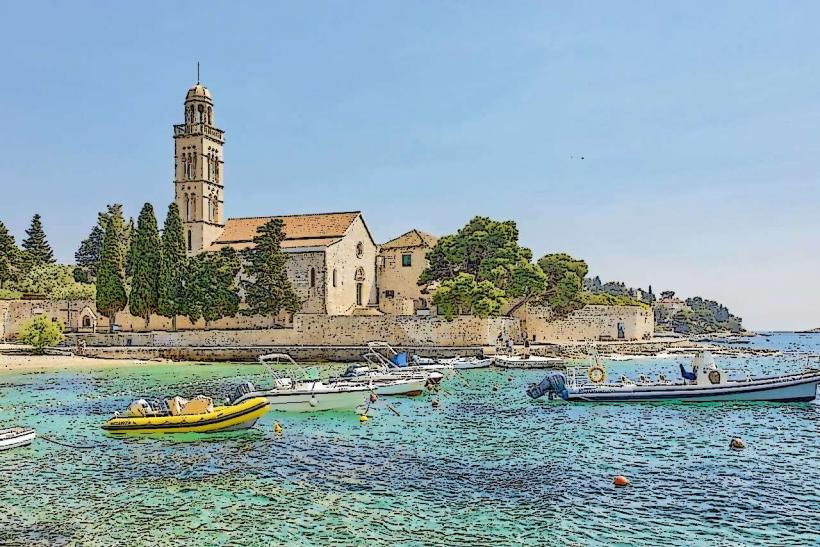
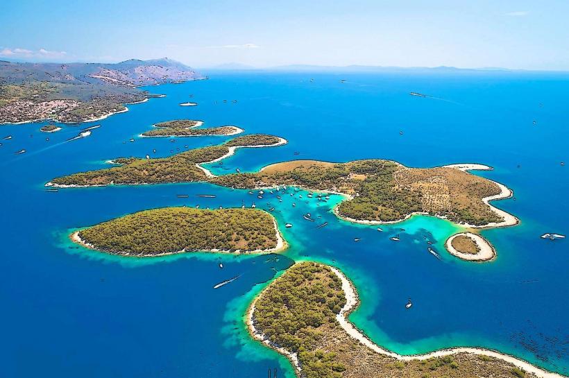
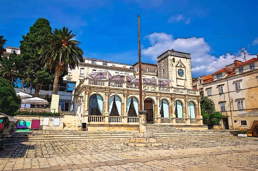
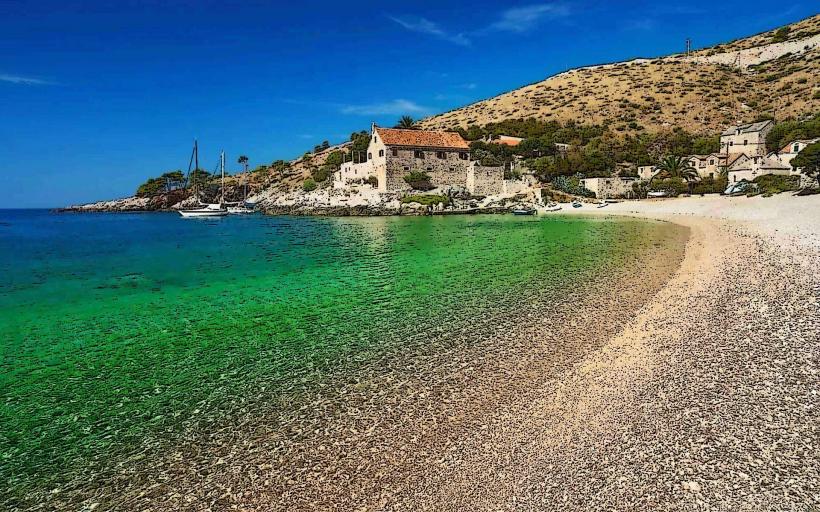
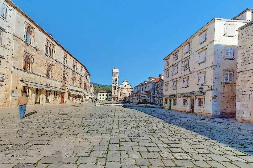
The town is defined by narrow stone streets (kalete) and three-to-five-story stone houses constructed from local white limestone with red-tiled roofs and colorful window shutters. The waterfront features a prominent 16th-century Venetian fortress made of rough-hewn stone blocks, while the surrounding landscape is characterized by steep volcanic and limestone cliffs, carob groves, and Mediterranean shrubland. Numerous pebble beaches, such as Gusarica and Kamenica, line the eastern shore of the bay.
Location & Access Logistics
Komiža is located at the terminus of state road D117, which connects it to Vis Town. To reach the site from Split, visitors take a car ferry (2 hours 20 minutes) or a catamaran (1 hour 15 minutes) to the port of Vis, followed by a 15-minute bus or taxi ride across the island. During the summer, seasonal boat lines and private taxi boats provide direct transport between Komiža harbor and the nearby island of Biševo.
Historical & Ecological Origin
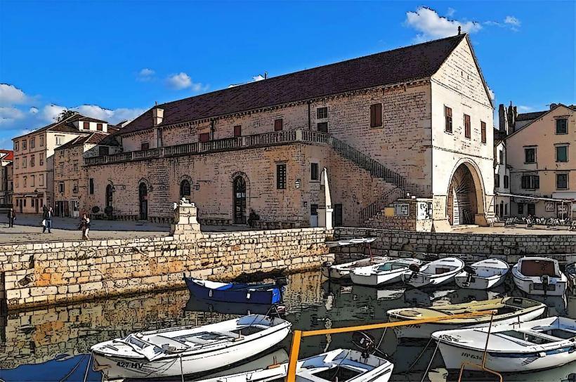
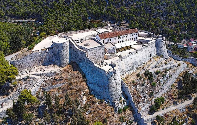
First mentioned in 1145 as Val Comeza, the settlement developed under Venetian rule as the premier fishing center of the Adriatic. The town is built on a unique geological zone involving an ancient salt diapir and volcanic rocks-rare in the predominantly limestone Adriatic. The central Komuna fortress was built in 1585 by the Venetians to defend the local fishing fleet against pirate attacks.
Key Highlights & Activities
The Fisherman's Museum, located inside the Venetian tower, houses a replica of the Falkuša, a traditional wooden fishing boat unique to the region. Hiking to the Church of St. Nicholas (Muster) provides panoramic views of the Biševo Channel. Scuba diving is a major activity, with several centers offering excursions to the "volcanic triangle" and nearby shipwrecks. Speedboat tours to the Blue Cave depart daily from the main pier.
Infrastructure & Amenities
The town center contains a post office, pharmacy, multiple ATMs, and a well-equipped harbor with mooring facilities for yachts. Public restrooms are located near the marina and the main bus station. 5G cellular coverage is consistent throughout the urban area. Shade is available under the pine and tamarisk trees at Gusarica beach and within the narrow stone alleys of the old town.
Best Time to Visit
The best time for photography is at sunset, as the town faces southwest toward the open sea, providing direct light on the harbor and facades. June and September offer optimal weather for outdoor activities with fewer crowds than the peak July-August season. On December 6, the feast of St. Nicholas, locals traditionally burn an old wooden boat in front of the parish church as a sacrificial offering for sailors.
Facts & Legends
The church of St. Mary (Our Lady of the Pirates) is the subject of a legend involving pirates who stole a miraculous painting of the Virgin Mary; a sudden storm reportedly prevented their escape until the painting was returned to the sea, where it floated back to the beach in front of the church.
Nearby Landmarks
Hum Hill (Highest peak of Vis) – 3.5km East
Mount St. Nicholas Monastery – 0.6km Southeast
Blue Cave (Biševo Island) – 8.8km Southwest
Tito's Cave (Military site) – 3.2km Northeast
Kamenica Beach – 0.8km South