Information
Landmark: Pakleni IslandsCity: Hvar
Country: Croatia
Continent: Europe
Pakleni Islands, Hvar, Croatia, Europe
The Pakleni Islands are an archipelago of approximately 16 limestone islands and islets located off the southwest coast of Hvar, Croatia. They extend roughly 10 kilometers from west to east, forming a natural protective barrier for Hvar Town’s harbor.
Visual Characteristics
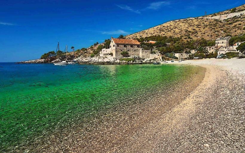
The islands are composed of karst limestone with jagged, low-lying coastlines and numerous pebble beaches. Vegetation is dense, consisting primarily of Aleppo pines, holm oaks, and aromatic Mediterranean macchia. The surrounding Adriatic waters transition from light turquoise in shallow coves to deep cobalt in the outer channels.
Location & Access Logistics
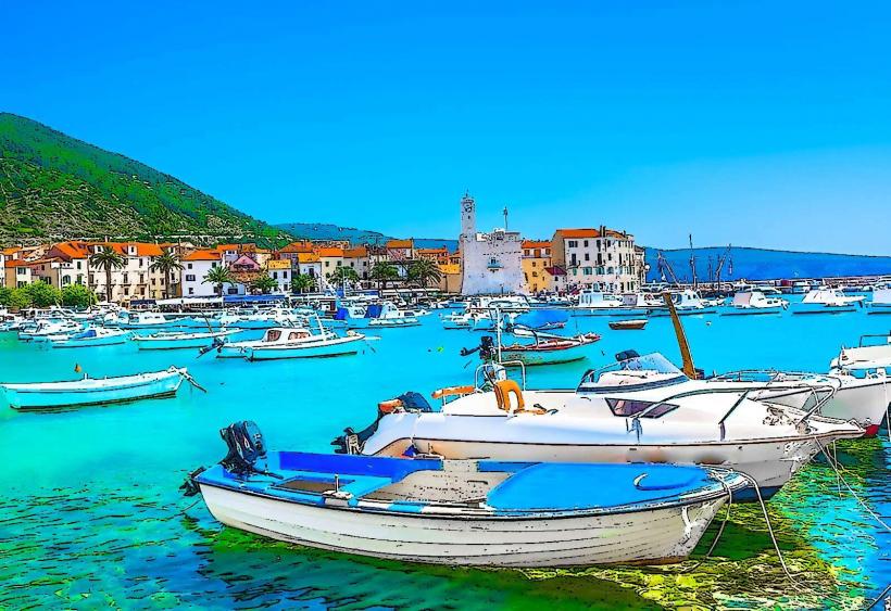
Access is primarily via water taxi or rented motorboat from the Hvar Town waterfront. Boats depart every 20–30 minutes during the summer season. Larger ferries connect Hvar to Split, while local taxi boats service specific bays such as Palmižana on Sveti Klement. There are no paved roads or vehicular traffic on the islands.
Historical & Ecological Origin
The archipelago formed through the submerged karstification of the Dinaric Alps. The name is derived from paklina, a pine resin once harvested here to coat and waterproof wooden ships. Ecologically, the islands are a protected landscape under Croatian law to preserve the endemic marine flora and seabed Posidonia meadows.
Key Highlights & Activities
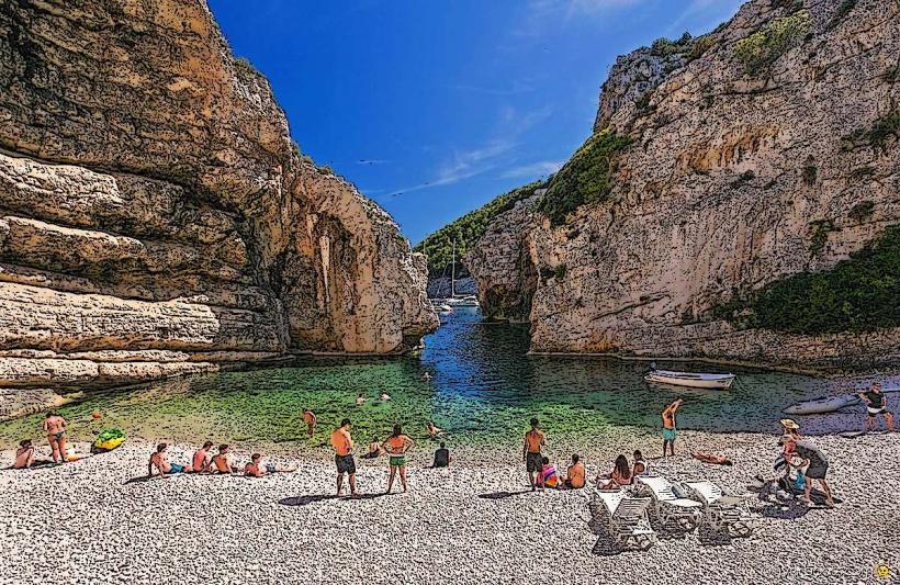
Boating and sailing are the primary modes of transport between secluded bays like Vinogradišće. Snorkeling is concentrated around the reef systems of Vlaka. Hiking trails on Sveti Klement connect the northern and southern shores through botanical gardens. Scuba diving is prevalent at the Sika od Vodnjaka site, featuring a vertical underwater wall.
Infrastructure & Amenities
Infrastructure is concentrated in Palmižana, Stipanska, and Jerolim, where restaurants and basic restrooms are available. Most smaller islets have no facilities, no shade, and no potable water. 4G and 5G cellular coverage is generally strong across the archipelago due to proximity to the Hvar mainland.
Best Time to Visit
The most stable weather and water temperatures occur from June through September. For photography, the late afternoon "golden hour" provides optimal lighting for the white limestone cliffs against the sea. High tide has minimal impact on beach access, but northern winds (Bura) can make the northern coves choppy and difficult for anchoring.
Facts & Legends
Local lore suggests the islands were a frequent hideout for pirates due to the complex network of hidden inlets. A specific historical oddity is the Roman villa remains found on Sveti Klement, indicating the islands were used as a summer retreat and salt production site as early as the 1st century AD.
Nearby Landmarks
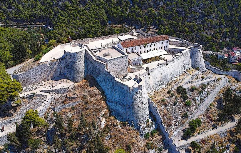
Hvar Fortress (Fortica) – 3.5km Northeast
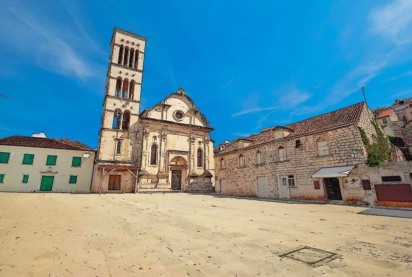
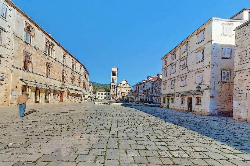
St. Stephen's Cathedral – 3.2km Northeast
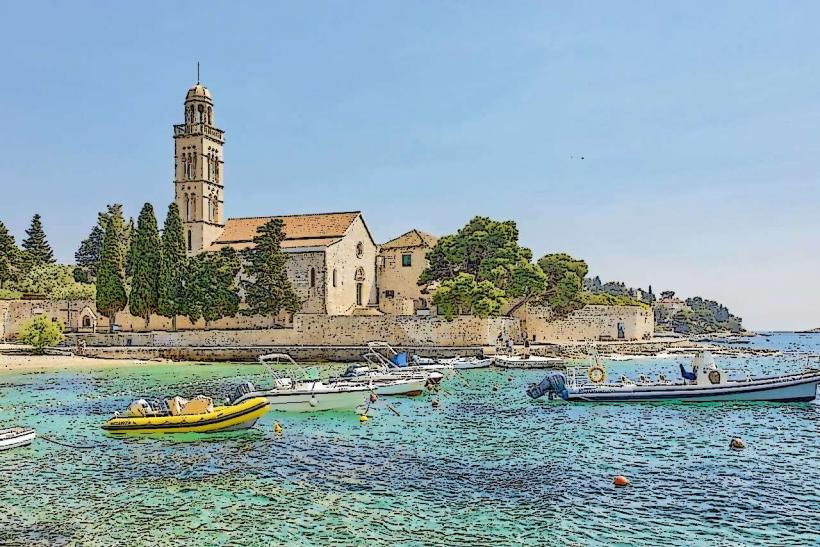
Franciscan Monastery – 3.0km Northeast
Galešnik Islet – 0.8km East
Jerolim Island – 0.5km Southeast