Information
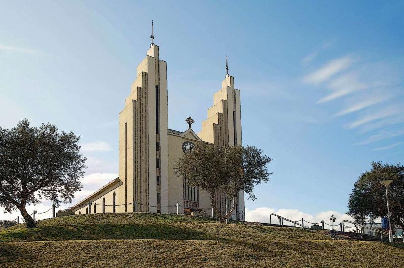
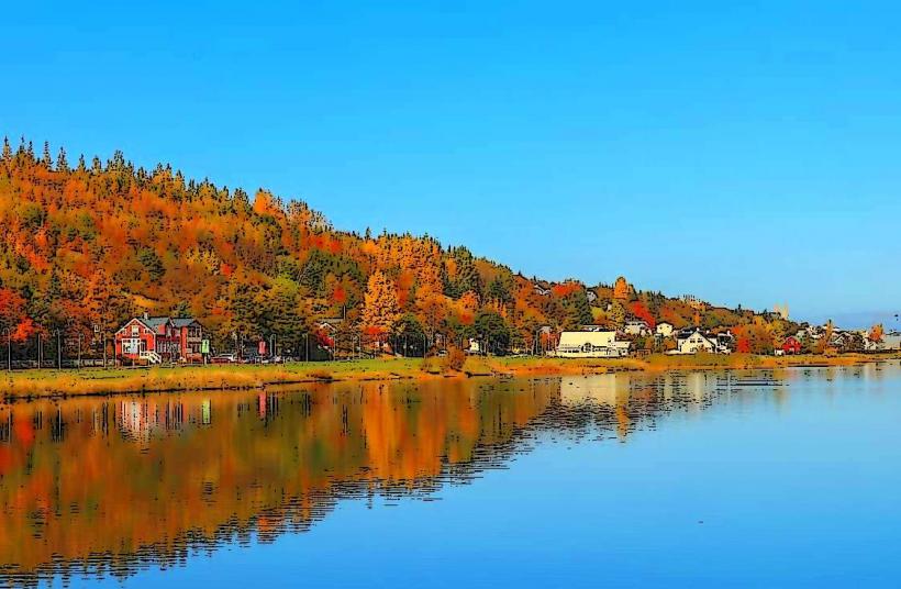
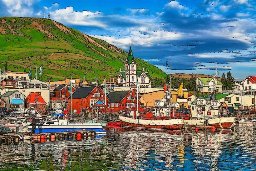
Landmark: Krafla VolcanoCity: Akureyri
Country: Iceland
Continent: Europe
Krafla Volcano, Akureyri, Iceland, Europe
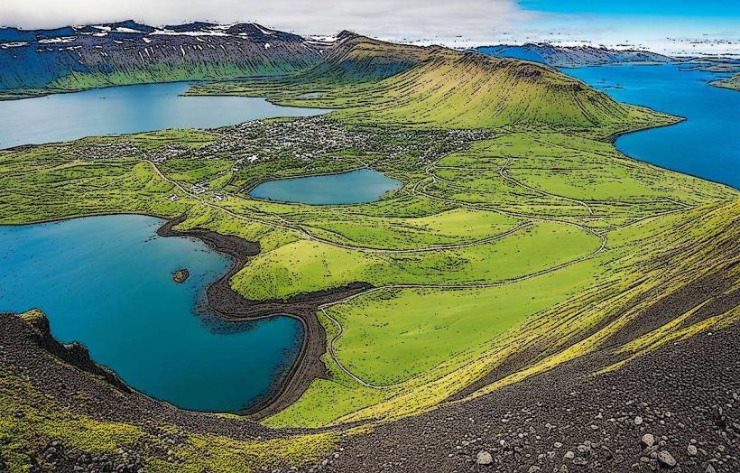
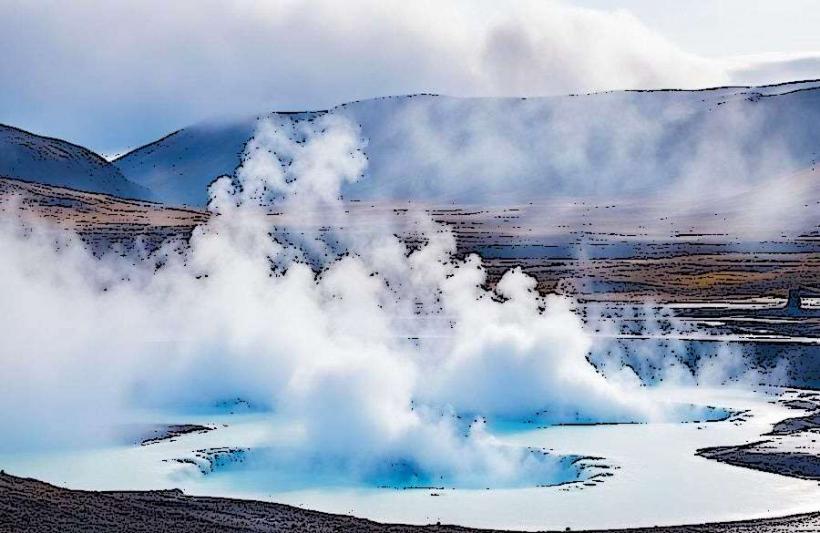
The Krafla Volcano is a caldera and central volcano system situated in the Mývatn region of northern Iceland. It is characterized by active geothermal areas and recent lava fields.
Visual Characteristics
The Krafla area encompasses a caldera approximately 10 km in diameter. Its prominent features include the Víti crater, containing an opaque turquoise-blue lake, and extensive fields of dark, solidified lava. The landscape is largely barren volcanic rock, interspersed with sparse mosses and grasses, and marked by numerous steam vents and mud pots.
Location & Access Logistics
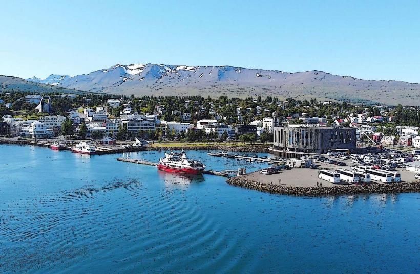
Krafla is located approximately 90 km east of Akureyri. Access is primarily via Route 1 (the Ring Road), with a turn-off onto Route 863 which leads directly to the main visitor areas. Designated parking facilities are available near the Víti crater and the Leirhnjúkur geothermal field. Public transportation options are limited; most visitors utilize rental vehicles or participate in organized tour bus services originating from Akureyri or Reykjahlíð.
Historical & Ecological Origin
Krafla is a stratovolcano and a central volcano system, forming part of the Mid-Atlantic Ridge rift zone. The caldera itself originated from a major eruption approximately 100,000 years ago. The region is known for the "Krafla Fires," a series of nine volcanic eruptions and rifting events that occurred between 1975 and 1984, resulting in significant lava flows and ground deformation. It represents a highly active geological area with a shallow magma chamber.
Key Highlights & Activities
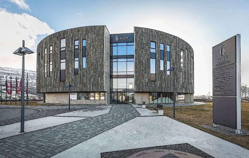
Visitors can hike along the rim of the Víti crater. Marked trails traverse the Leirhnjúkur geothermal area, providing access to bubbling mud pots, active fumaroles, and recent lava formations. The Krafla Power Station, a geothermal energy plant, is visible from designated viewpoints.
Infrastructure & Amenities
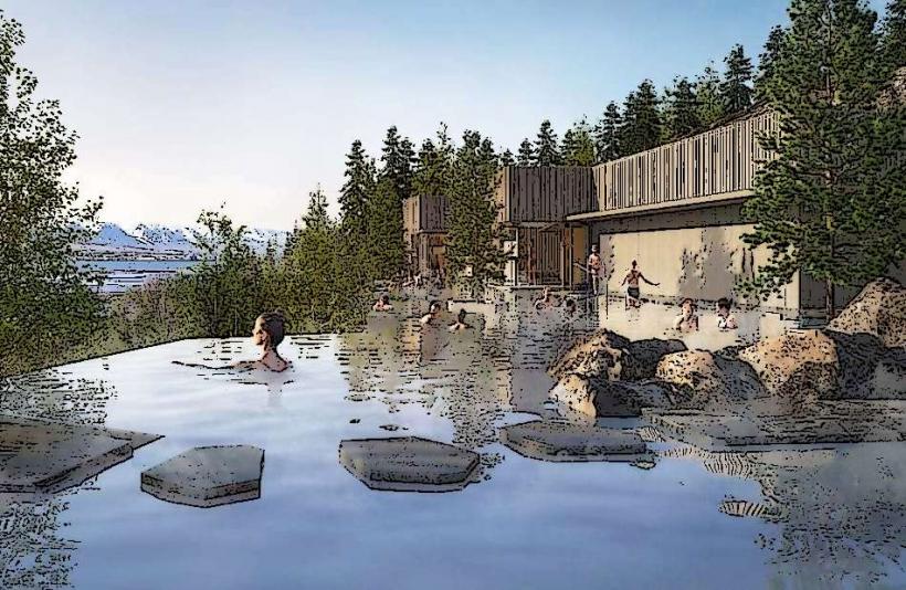
Basic restroom facilities are available near the primary parking areas. The landscape offers minimal natural shade. Cell phone signal (4G/5G) is generally present but may be inconsistent in certain topographical depressions. Food vendors are not directly at the volcano's core hiking areas; the nearest services are typically found in Reykjahlíð or at the Mývatn Nature Baths.
Best Time to Visit
The summer months, from June to August, offer the most favorable weather conditions and extended daylight hours. For photography, early morning or late afternoon light enhances the visual impact of steam plumes and lava formations. There are no specific tidal requirements for visiting Krafla. Winter visits are possible but necessitate appropriate cold-weather gear and awareness of potential road closures due to snow or ice.
Facts & Legends
The Víti crater, meaning "hell" in Icelandic, was formed during a powerful phreatic explosion in 1724, part of the "Mývatn Fires" eruption series (1724-1729). This name reflects historical beliefs associating such explosive craters with the underworld. The Krafla system is one of Iceland's most intensively monitored volcanic areas due to its ongoing seismic and geothermal activity.
Nearby Landmarks
- Mývatn Nature Baths: 5 km South-West
- Hverir Geothermal Area (Námafjall): 10 km South
- Grjótagjá Cave: 12 km South-West
- Dimmuborgir Lava Formations: 15 km South-West
- Skútustaðagígar Pseudocraters: 20 km South-West