Information
Landmark: La Ruta de los CenotesCity: Cancun
Country: Mexico
Continent: North America
La Ruta de los Cenotes, Cancun, Mexico, North America
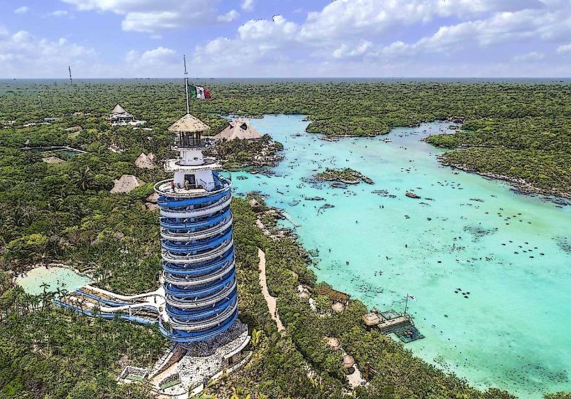
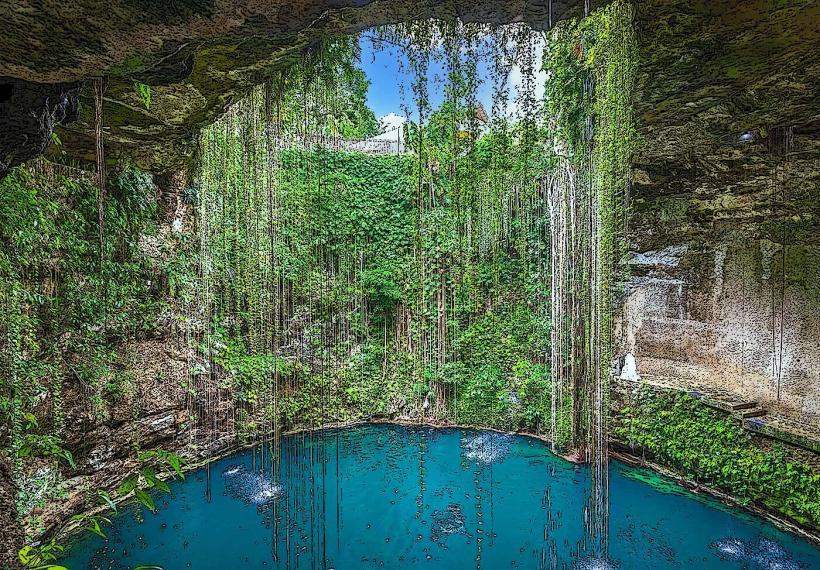
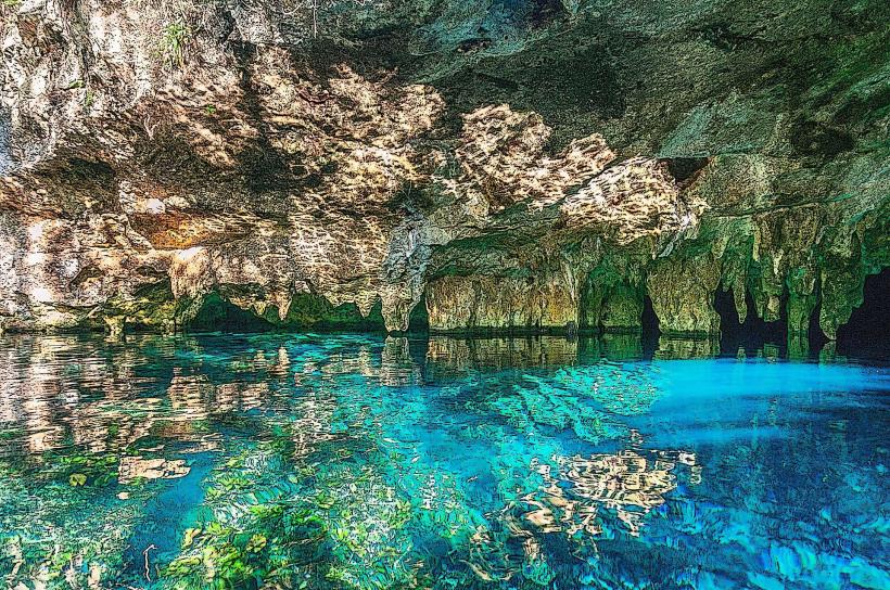
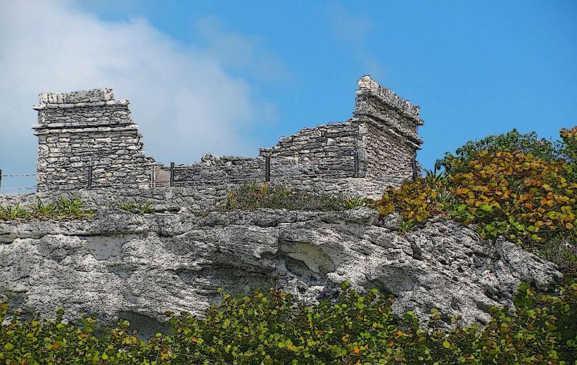
La Ruta de los Cenotes is a network of natural sinkholes located in the Yucatán Peninsula, Mexico, west of the coastal city of Puerto Morelos.
Visual Characteristics
Cenotes on this route vary in appearance. Some are open-air pools with clear, turquoise water, surrounded by limestone rock formations and tropical vegetation. Others are semi-open or fully enclosed cave systems, featuring stalactites and stalagmites. Water clarity is consistently high, allowing visibility to depths of 10-30 meters in many locations.
Location & Access Logistics
The route begins approximately 20 kilometers west of Puerto Morelos along Federal Highway 295 (Ruta de los Cenotes). Access points are marked by signs indicating individual cenote names. Parking is available at most cenote sites, typically on unpaved areas adjacent to the entrance. Public transportation options are limited; colectivos (shared vans) traveling between Puerto Morelos and Leona Vicario may stop near some cenote entrances, but require walking significant distances. Hiring a taxi or renting a car is the most practical method of access.
Historical & Ecological Origin
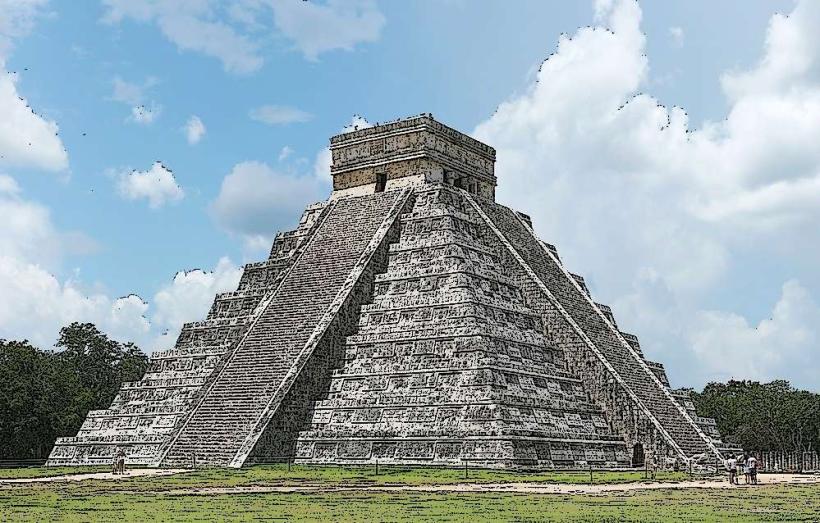
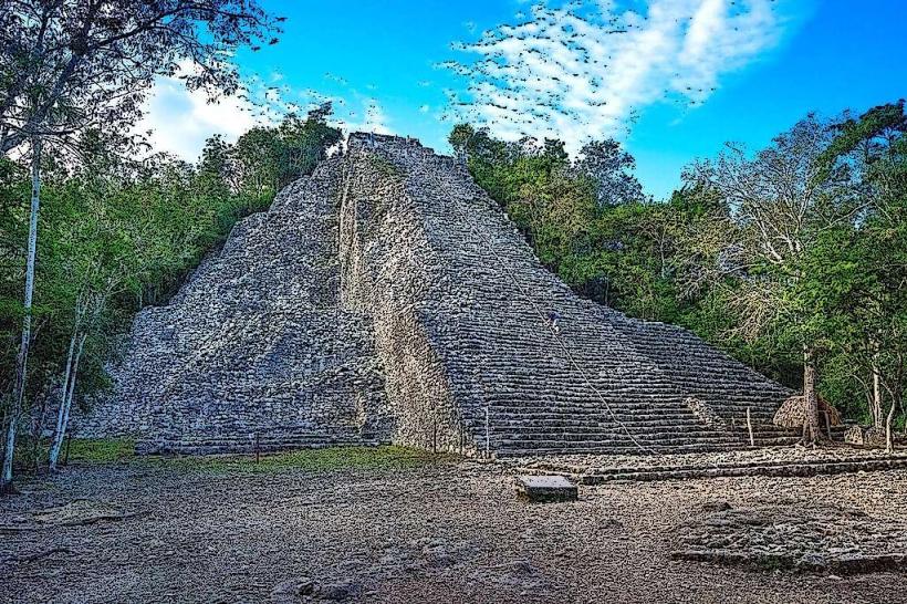
These cenotes are geological formations resulting from the dissolution of soluble bedrock, primarily limestone, over millions of years. They are part of the Yucatán's extensive karst topography. Historically, many cenotes served as vital freshwater sources for the ancient Maya civilization and were considered sacred sites. Ecologically, they are unique freshwater ecosystems supporting specific flora and fauna.
Key Highlights & Activities
Activities include swimming, snorkeling, and scuba diving in the cenote waters. Some cenotes offer zip-lining experiences over the water. Guided tours focusing on the geological and historical aspects are available at select locations. Kayaking is possible in larger, open-air cenotes.
Infrastructure & Amenities
Amenities vary by cenote. Many have basic changing rooms, restrooms, and palapas for shade. Some larger cenotes offer on-site restaurants or food stalls. Cell phone signal (4G/5G) is generally unreliable within the cenote areas, particularly in more remote or enclosed locations.
Best Time to Visit
The best time of day for photography is between 10:00 AM and 2:00 PM when sunlight penetrates the water most effectively. The dry season, from December to April, offers the most pleasant weather with lower humidity and minimal rainfall. Water levels remain consistent year-round.
Facts & Legends
A local legend suggests that some cenotes are entrances to the underworld (Xibalba) and were guarded by deities in Maya mythology. One specific cenote, Cenote Siete Bocas, is named for its seven distinct openings, though only a few are accessible for swimming.
Nearby Landmarks
- Cenote Verde (0.8km East)
- Cenote Zapote (1.2km Southwest)
- Cenote La Noria (2.5km Southeast)
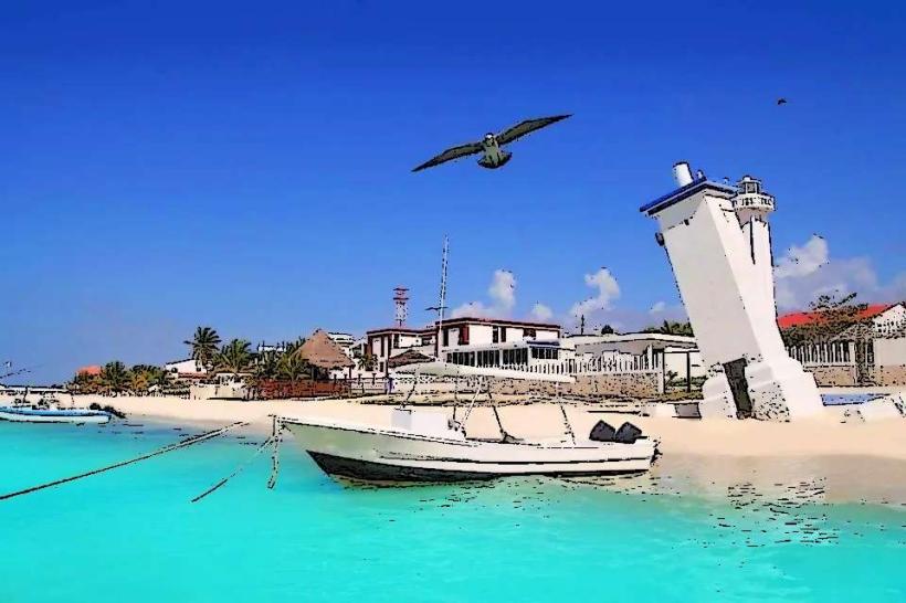
- Puerto Morelos (22km East)
- Cenote Aerolito (3.1km West)