Information
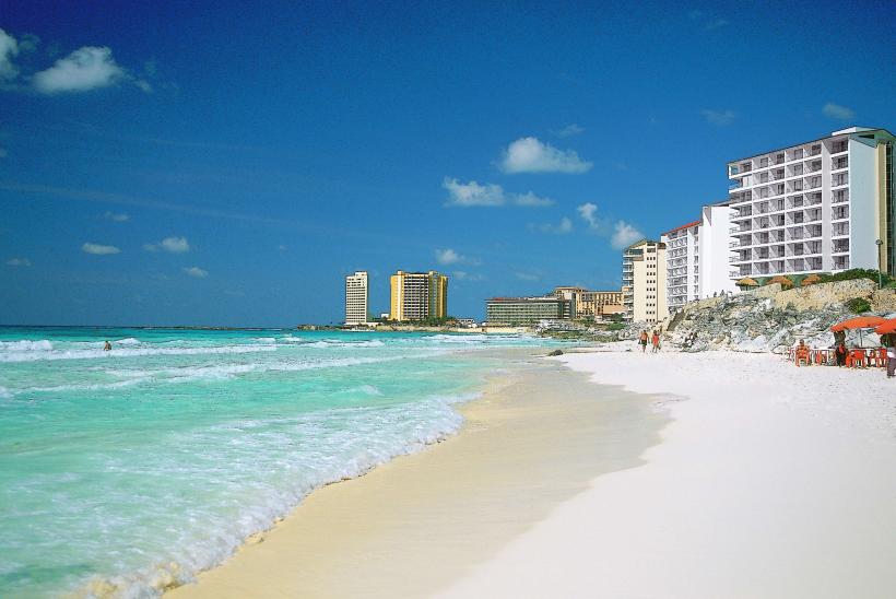
Landmark: Tulum RuinsCity: Cancun
Country: Mexico
Continent: North America
Tulum Ruins, Cancun, Mexico, North America
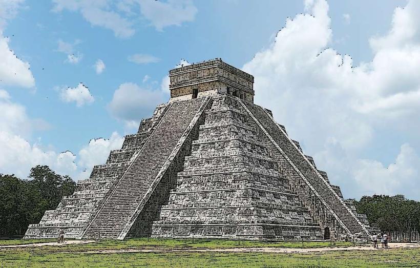
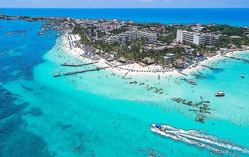
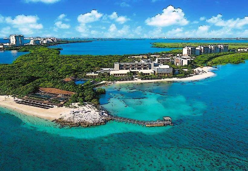
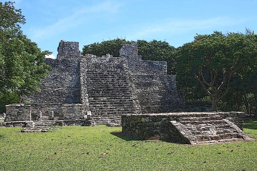
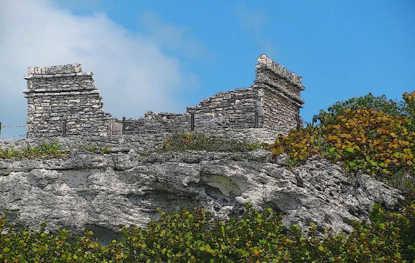
The Tulum Ruins are an archaeological site located on the Yucatan Peninsula in Mexico. This pre-Columbian Mayan walled city overlooks the Caribbean Sea.
Visual Characteristics
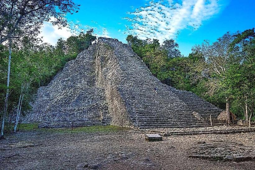
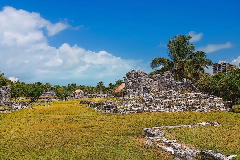
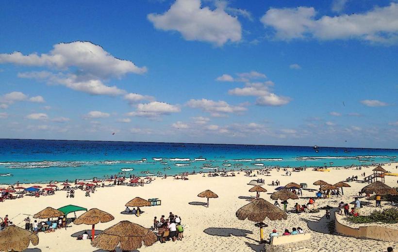
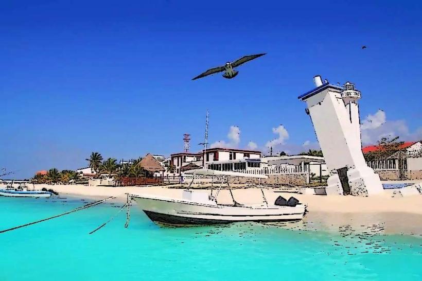
The site features limestone structures constructed in the Post-Classic Maya style. Key buildings include El Castillo, a large pyramid serving as a temple, and the Temple of the Frescoes, known for its surviving murals. The structures are situated on a cliff, approximately 12 meters (39 feet) above sea level, with the Caribbean Sea providing a backdrop of turquoise water.
Location & Access Logistics
Tulum Ruins are located approximately 130 kilometers (81 miles) south of Cancun. Access is via Federal Highway 307. From Cancun, take Highway 307 south towards Chetumal. The turn-off for the ruins is clearly marked. Parking is available at a designated lot near the entrance, for which a fee is charged. Public transportation options include ADO buses from Cancun to Tulum town, from where local taxis or colectivos (shared vans) can transport visitors to the archaeological site entrance. The site is approximately 3 kilometers (1.9 miles) east of Tulum town.
Historical & Ecological Origin
Tulum served as a major Mayan port city from the 13th to the 15th centuries. It was built by the Maya civilization and its primary purpose was trade, particularly in obsidian and jade. The city was strategically positioned on the coast, facilitating maritime commerce. The cliff on which it sits is composed of limestone, a common geological feature of the Yucatan Peninsula.
Key Highlights & Activities
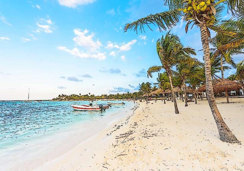
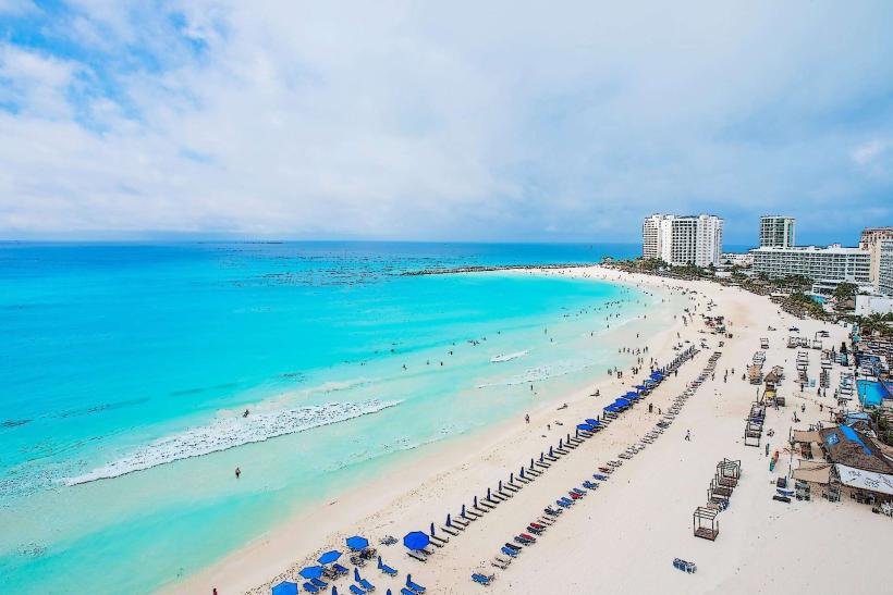
Exploration of the main structures, including El Castillo and the Temple of the Frescoes. Observation of the coastal views. Swimming is permitted at the beach located at the base of the cliff, accessible via stairs. Photography of the ruins and the sea. Guided tours are available for purchase at the entrance.
Infrastructure & Amenities
Restrooms are available at the entrance area. Shade is limited within the archaeological zone, with most structures exposed to direct sunlight. Cell phone signal (4G/5G) is generally available. Food vendors and souvenir shops are located outside the main entrance to the site.
Best Time to Visit
The best time of day for photography is early morning or late afternoon to avoid harsh midday light and crowds. The best months for weather are generally from December to April, characterized by lower humidity and less rainfall. High tide is not a specific requirement for visiting the ruins, but low tide may expose more of the beach area.
Facts & Legends
Tulum was one of the last Mayan cities to be inhabited and was still occupied when the Spanish arrived in the 16th century. It is believed to have been named "Zamá," meaning "dawn," by its original inhabitants, due to its eastern orientation. The name "Tulum" is a later Mayan word for "wall," referring to the defensive wall surrounding the city.
Nearby Landmarks
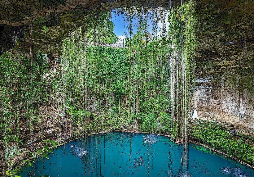
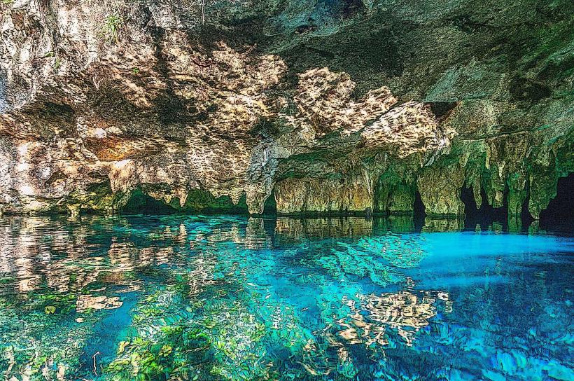
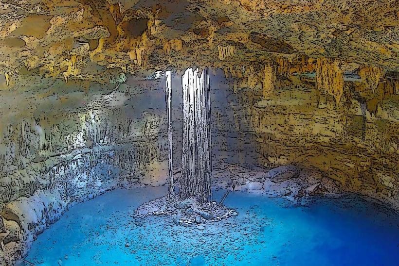
- Cenote Dos Ojos (2.5km Southwest)
- Gran Cenote (4.0km Southwest)
- Tulum Town Center (3.0km West)
- Sian Ka'an Biosphere Reserve Entrance (15.0km South)