Information
Landmark: Xcaret ParkCity: Cancun
Country: Mexico
Continent: North America
Xcaret Park, Cancun, Mexico, North America
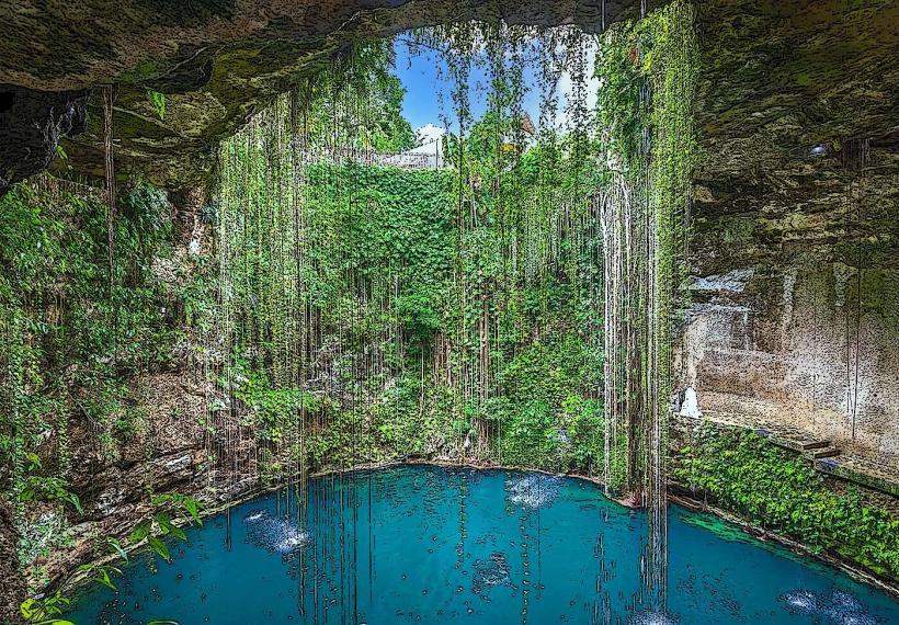
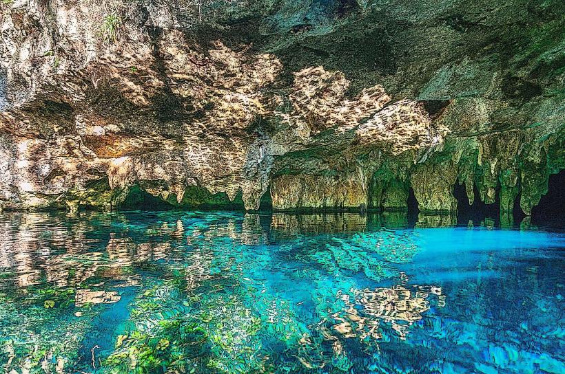
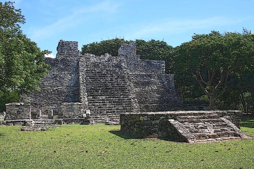
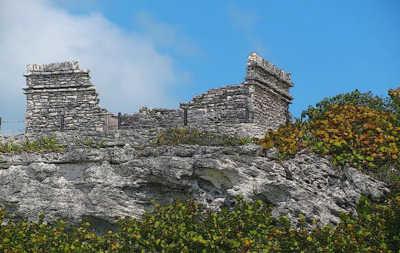
Xcaret Park is an ecological and archaeological park situated on the Riviera Maya coast, approximately 75 kilometers south of Cancun, Mexico.
Visual Characteristics
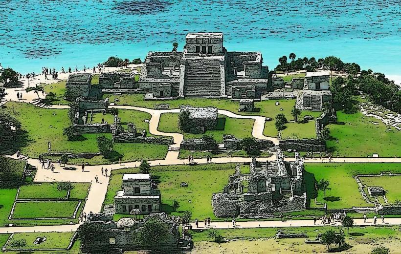
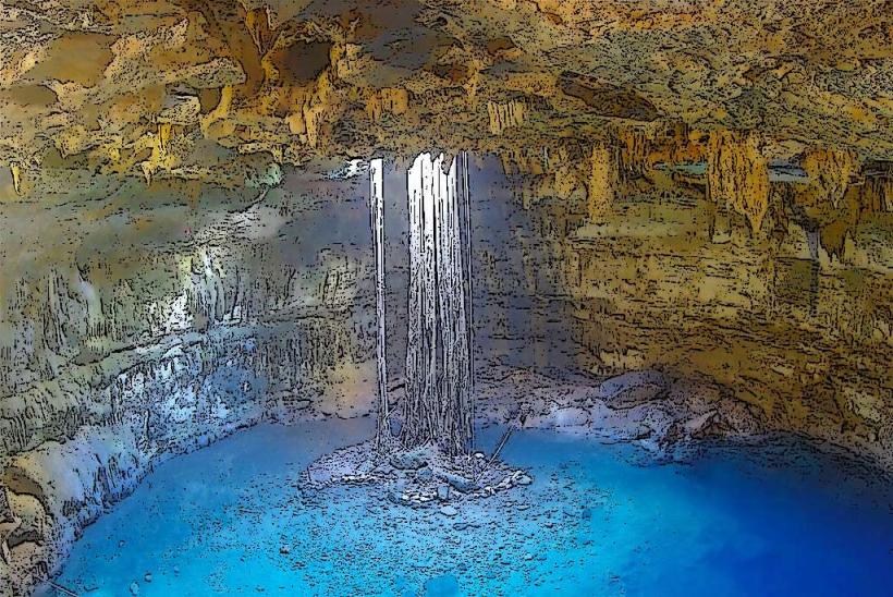
The park features a blend of natural cenotes, underground rivers, and constructed areas. Natural elements include limestone formations, clear turquoise water in cenotes and rivers, and dense tropical vegetation. Constructed elements comprise Mayan-inspired architecture, pathways, and themed areas. The park's color palette is dominated by the blues of the water, the greens of the foliage, and the earthy tones of stone structures.
Location & Access Logistics
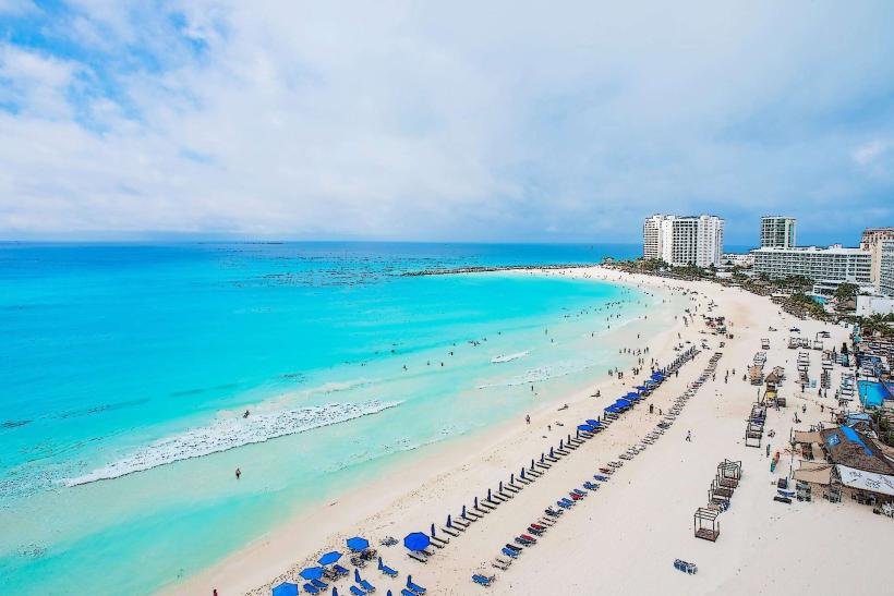
Xcaret Park is located on Carretera Federal 307, Km. 298, in Playa del Carmen, Quintana Roo. It is approximately a 1-hour drive south from Cancun International Airport (CUN) via Federal Highway 307. Parking is available on-site for a fee. Public transportation options include ADO buses from Cancun to Playa del Carmen, followed by a local taxi or colectivos (shared vans) to the park entrance. Many hotels in Cancun and Playa del Carmen offer shuttle services.
Historical & Ecological Origin
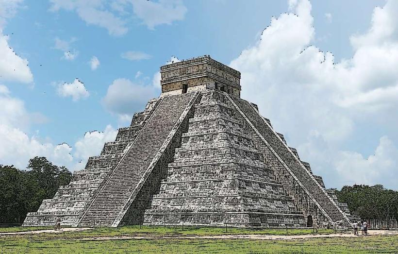
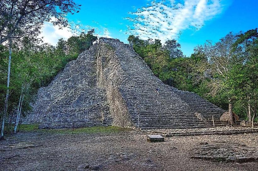
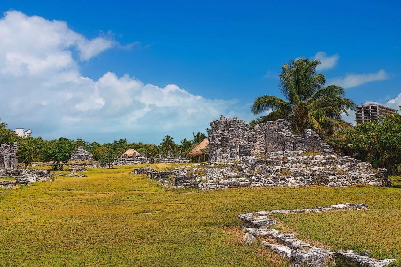
The site of Xcaret was historically a Mayan port and ceremonial center known as Xcaret. The park itself was developed and opened in 1994 by Experiencias Xcaret. The area's geology is characterized by the Yucatan Peninsula's porous limestone bedrock, which has formed extensive cave systems and cenotes through dissolution by groundwater. The ecosystem is tropical rainforest, supporting diverse flora and fauna.
Key Highlights & Activities
Activities include swimming and snorkeling in underground rivers and cenotes, exploring Mayan ruins, observing wildlife in aviaries and butterfly pavilions, attending the "Xcaret México Espectacular" evening show, visiting the Coral Reef Aquarium, and participating in cultural demonstrations. The park also offers opportunities for kayaking and exploring the coastline.
Infrastructure & Amenities
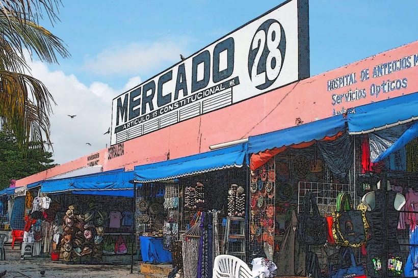
Restrooms are available throughout the park. Shaded areas are provided by natural tree cover and constructed shelters. Cell phone signal (4G/5G) is generally available within the park. Multiple food and beverage vendors, restaurants, and souvenir shops are located within Xcaret Park.
Best Time to Visit
The best time of day for photography is generally mid-morning to late afternoon, avoiding direct overhead sun for water clarity. The dry season, from December to April, offers the most favorable weather with lower humidity and less rainfall. Water levels in cenotes and rivers remain consistent year-round.
Facts & Legends
The name Xcaret translates to "Little Inlet" in Mayan. The site was a significant trading post for the ancient Maya. A unique tip for visitors is to utilize the park's internal transportation system, which includes underground waterways and electric carts, to navigate the extensive grounds efficiently.
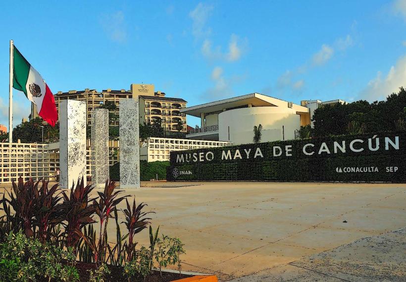
Nearby Landmarks
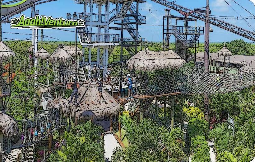
- Xplor Park (0.2km West)
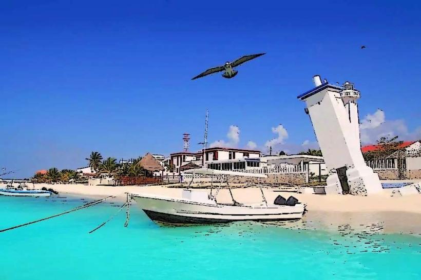
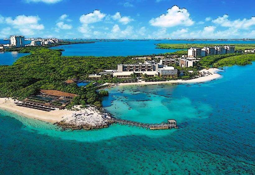
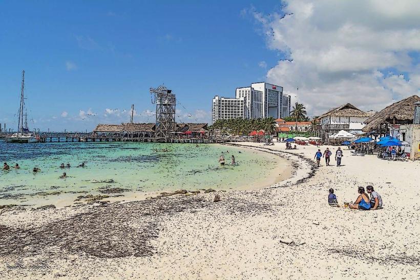
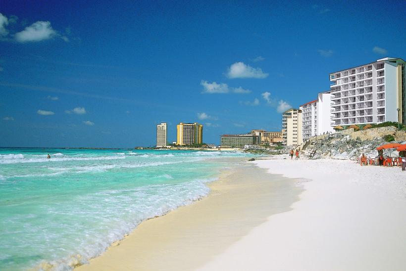
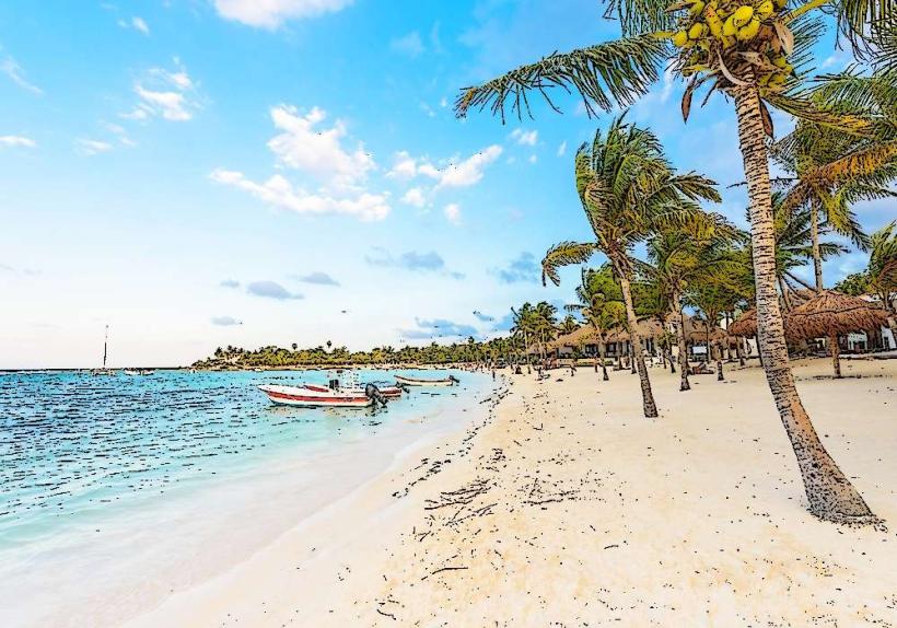
- Xcaret Beach (0.3km East)
- Cenote Azul (4.5km South)
- Cenote Cristalino (4.8km South)
- Xel-Há Park (15km South)