Information
Landmark: Lake RotoitiCity: Rotorua
Country: New Zealand
Continent: Australia
Lake Rotoiti, Rotorua, New Zealand, Australia
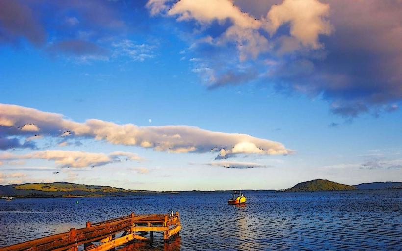
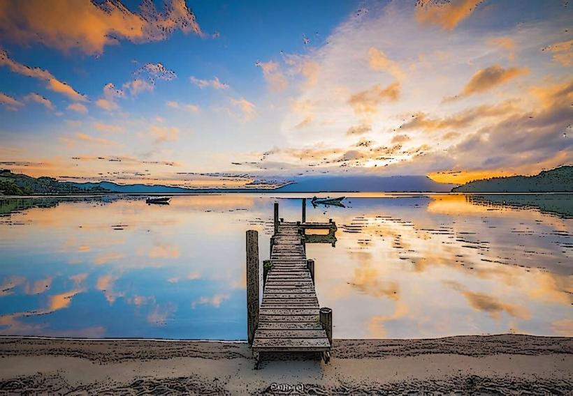
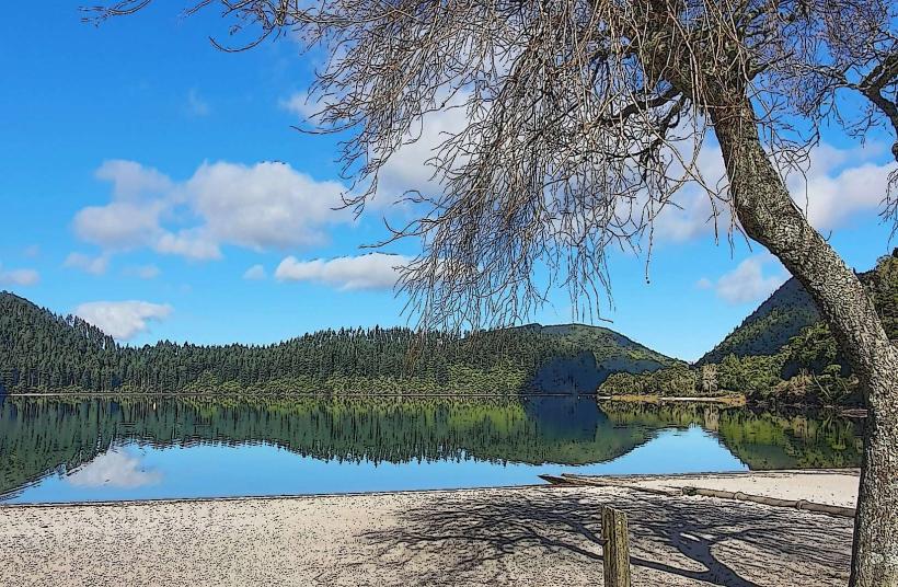
Lake Rotoiti is a geothermal lake located in the Rotorua region of New Zealand's North Island.
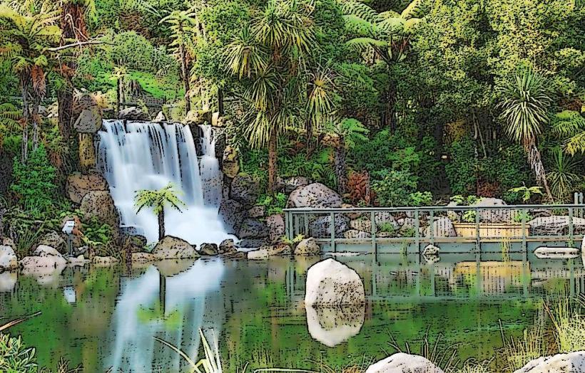
It is one of the larger lakes within the Rotorua volcanic system, known for its hot springs and surrounding native forest.
Visual Characteristics
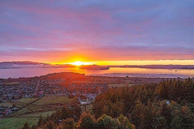
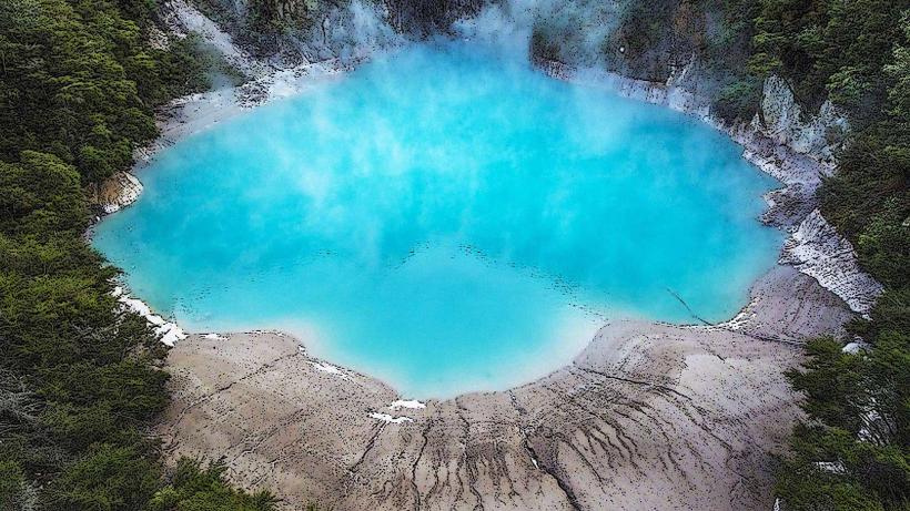
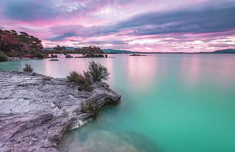
The lake's water color varies from deep blue to greenish-blue depending on light conditions and algal bloom presence. Shorelines are characterized by a mix of sandy beaches, rocky outcrops, and dense native bush, including manuka and kanuka trees. Several small islands are present within the lake.
Location & Access Logistics
Lake Rotoiti is situated approximately 20 kilometers northeast of Rotorua's city center. Access is primarily via State Highway 30 (SH30) and then onto State Highway 5 (SH5) towards Taupo, turning off at the signposted Rotorua Lakefront Drive. Several boat ramps and public access points are available. Parking is available at designated areas near Okawa Bay and Te Wairoa. Public transport options directly to the lake are limited; bus routes typically serve Rotorua city center, requiring onward travel by taxi or private vehicle.
Historical & Ecological Origin
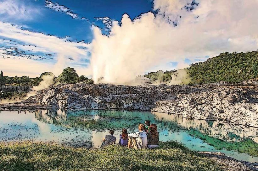
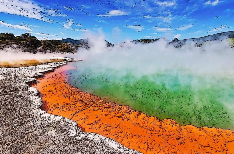
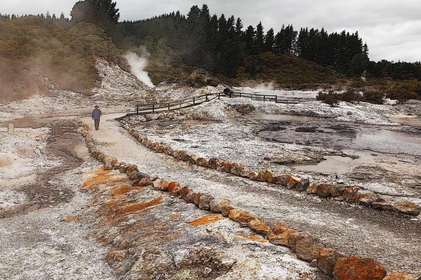
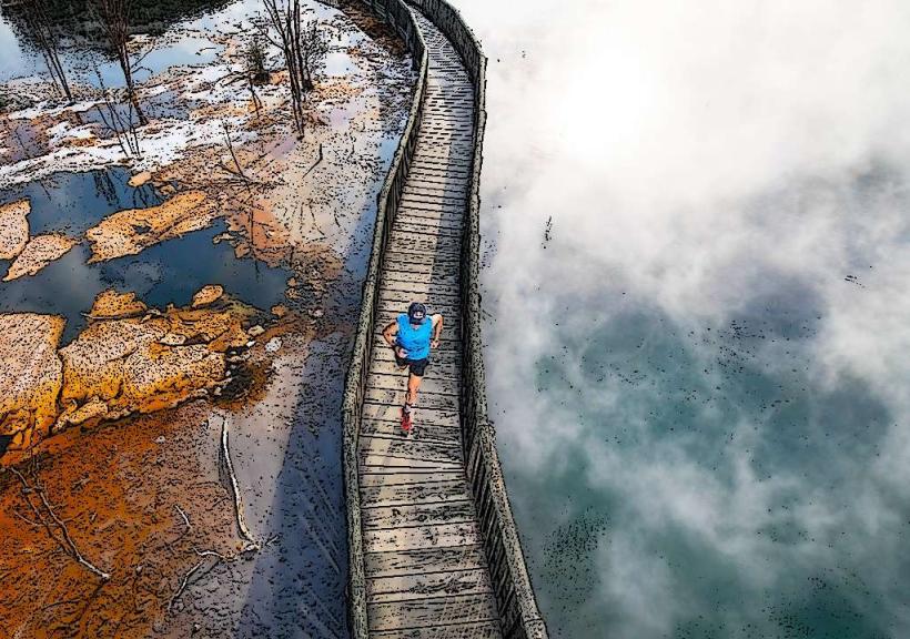
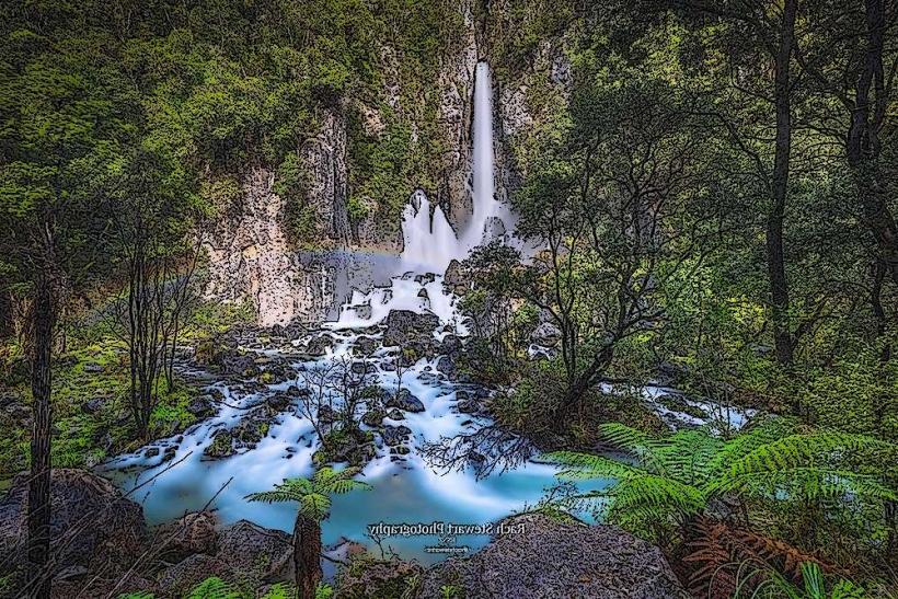
Lake Rotoiti is a caldera lake, formed by volcanic activity within the Okataina Volcanic Centre. The lake basin was shaped by past eruptions and subsequent infilling with water. The surrounding area is part of the geothermal field, evidenced by hot springs and fumaroles along its shores and in nearby areas.
Key Highlights & Activities
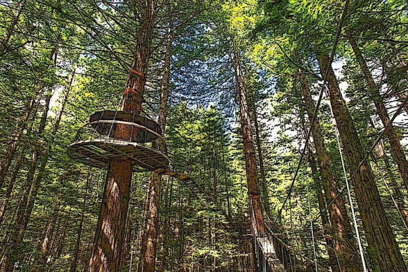
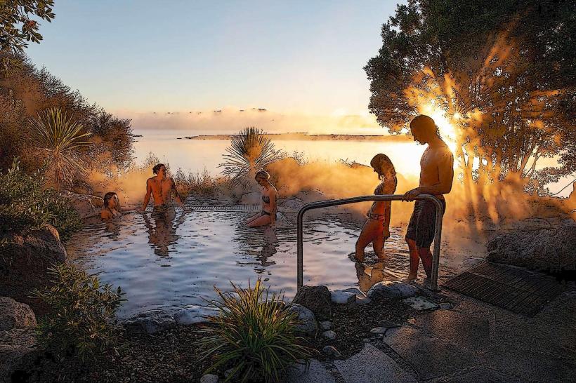
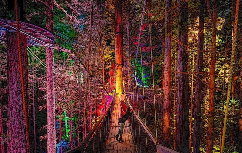
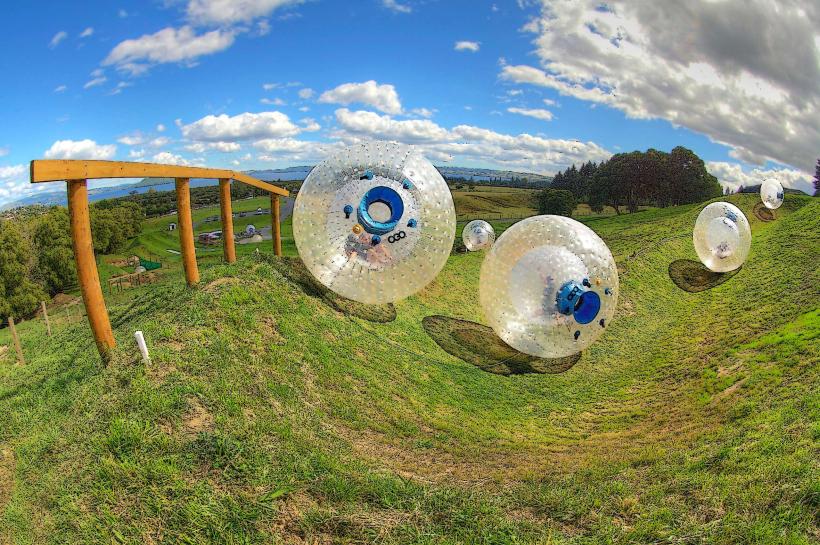
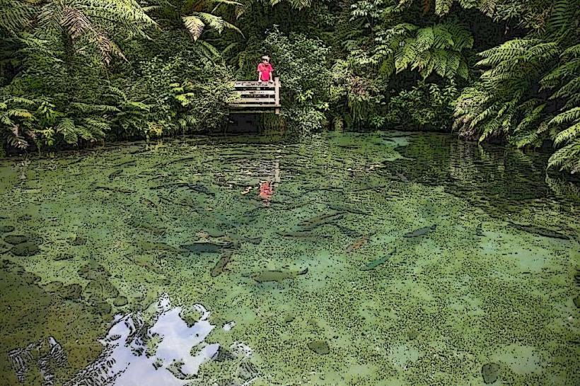
Activities include kayaking and paddleboarding on the lake. Fishing for rainbow trout is permitted with a license. Swimming is possible in designated areas, particularly near the Manupirua Hot Springs. Hiking trails are available in the surrounding Whakarewarewa Forest, which borders parts of the lake. Boat tours to the hot springs are a common activity.
Infrastructure & Amenities
Restrooms are available at public access points like Okawa Bay. Shade is provided by native trees in many areas. Cell phone signal (4G) is generally available around the main access points. Limited food vendors may operate seasonally near popular access points; otherwise, amenities are found in Rotorua city.
Best Time to Visit
For photography, early morning and late afternoon offer softer light. The best months for pleasant weather are typically from December to February (summer) and March to May (autumn). Water levels are generally consistent, but checking local conditions for swimming or boating is advisable.
Facts & Legends
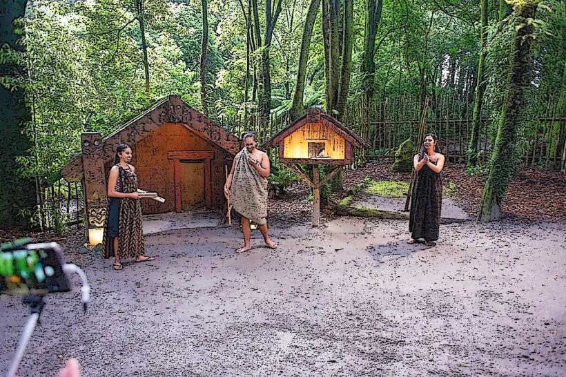
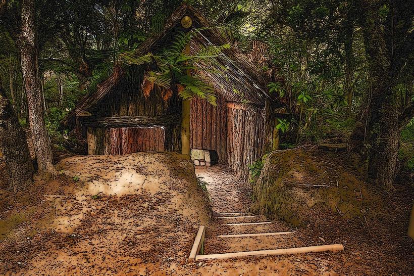
A notable feature is the Manupirua Hot Springs, accessible by boat or a short walk, offering natural thermal pools. Local Māori legends speak of the lake being a resting place for the spirits of ancestors.
Nearby Landmarks
- 0.8km South-West: Okawa Bay
- 2.5km West: Te Wairoa
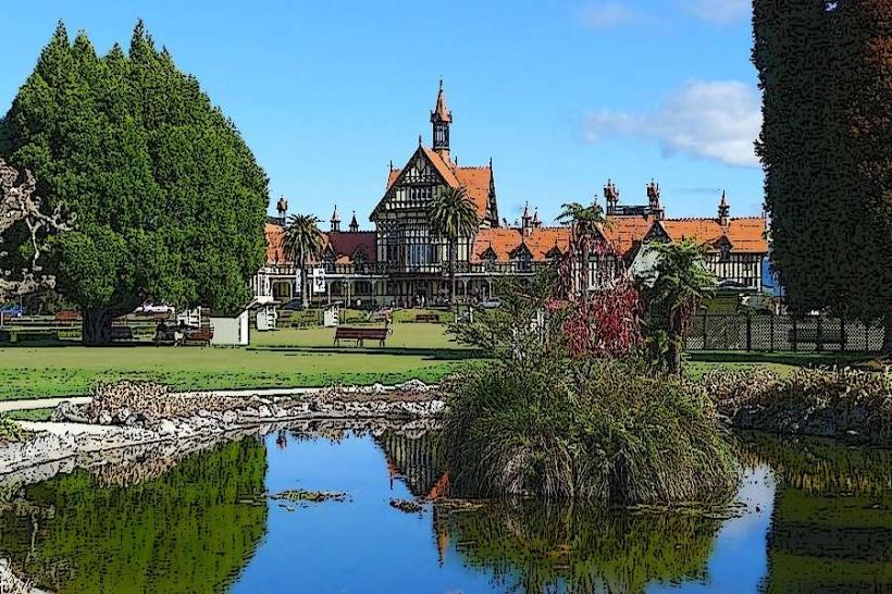
- 4.0km South: Whakarewarewa Forest
- 4.5km South-East: Lake Rotorua