Information
Landmark: Lake RotoruaCity: Rotorua
Country: New Zealand
Continent: Australia
Lake Rotorua, Rotorua, New Zealand, Australia
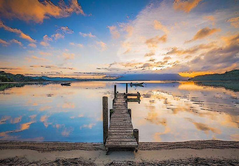
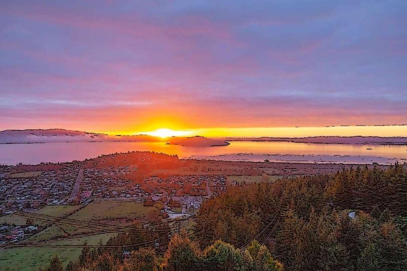
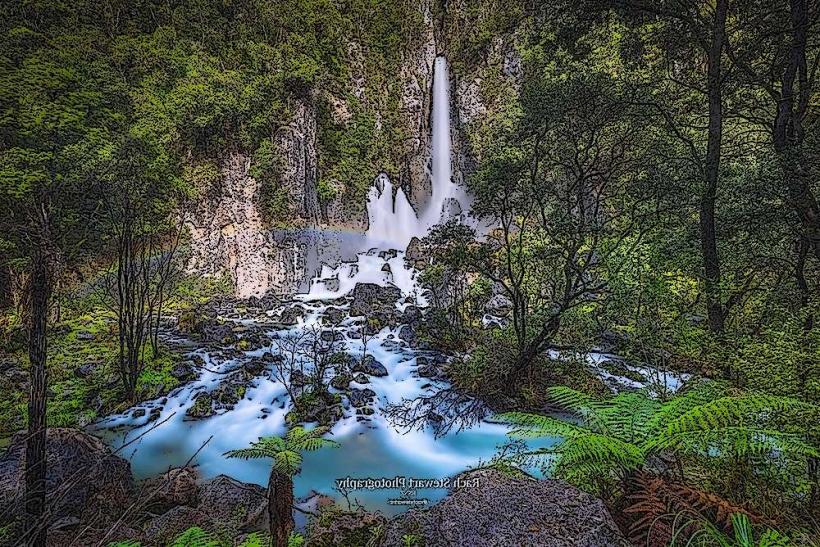
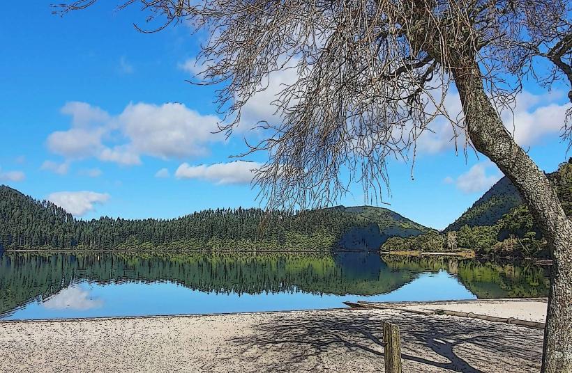
Lake Rotorua is a large, shallow lake situated within the city limits of Rotorua, North Island, New Zealand. It is a significant geothermal feature of the Taupo Volcanic Zone.
Visual Characteristics
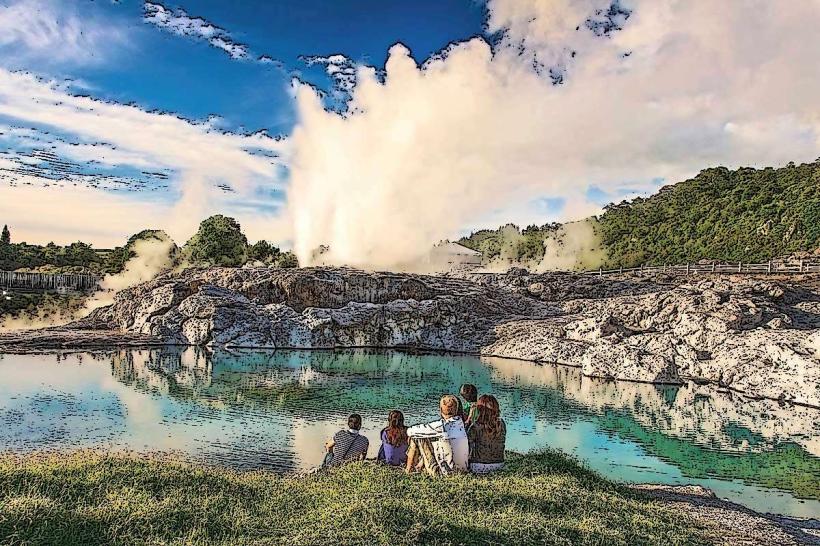
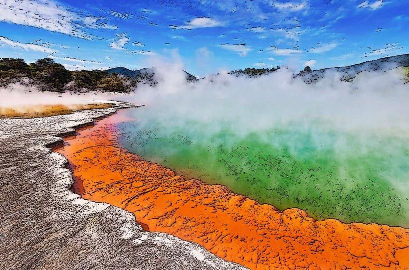
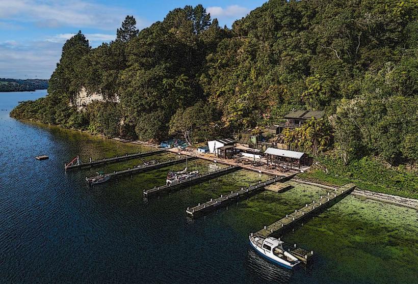
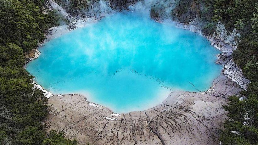
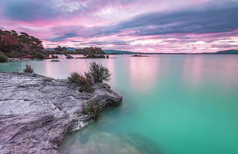
The lake's surface area is approximately 79.8 square kilometers. Its water color varies from a deep blue to a greenish hue, influenced by algal blooms and geothermal activity. The shoreline is characterized by a mix of sandy beaches, muddy flats, and areas of dense native bush, including manuka and kanuka trees. Several small islands are present within the lake, notably Mokoia Island.
Location & Access Logistics
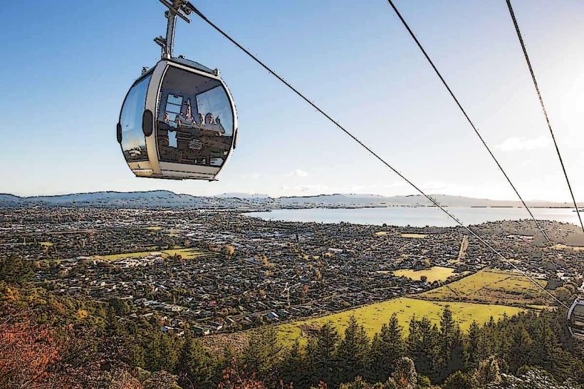
Lake Rotorua is located directly east of Rotorua's central business district. Access is primarily via State Highway 30 (Te Ngae Road) which skirts the southern and eastern shores. Numerous public access points and boat ramps are available. Parking is available at designated areas along the lakefront, including Government Gardens and Kuirau Park. Public transport routes, such as the City Rotorua to Lynmore bus, provide access to areas near the lake.
Historical & Ecological Origin
Lake Rotorua occupies a caldera formed by a massive volcanic eruption approximately 240,000 years ago. The lake basin is part of the active Taupo Volcanic Zone, and its geothermal activity is a direct result of underlying volcanic processes. Mokoia Island, a prominent feature, is a rhyolite lava dome that rose after the caldera collapse.
Key Highlights & Activities
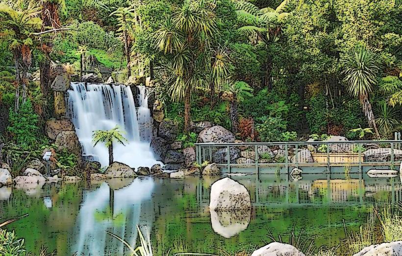
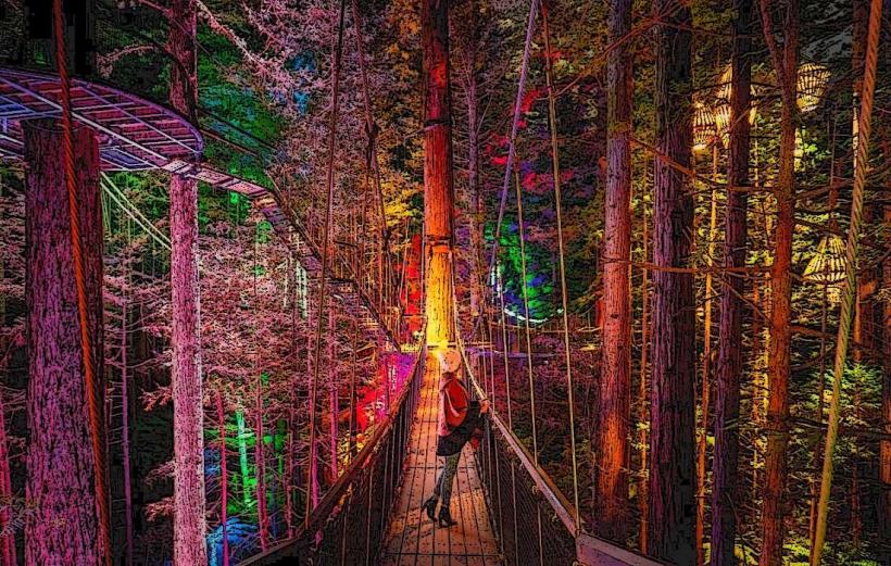
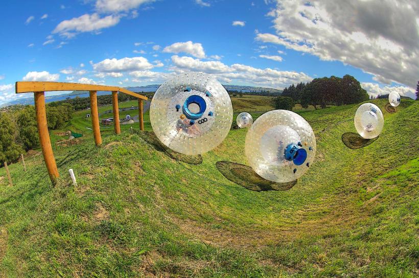
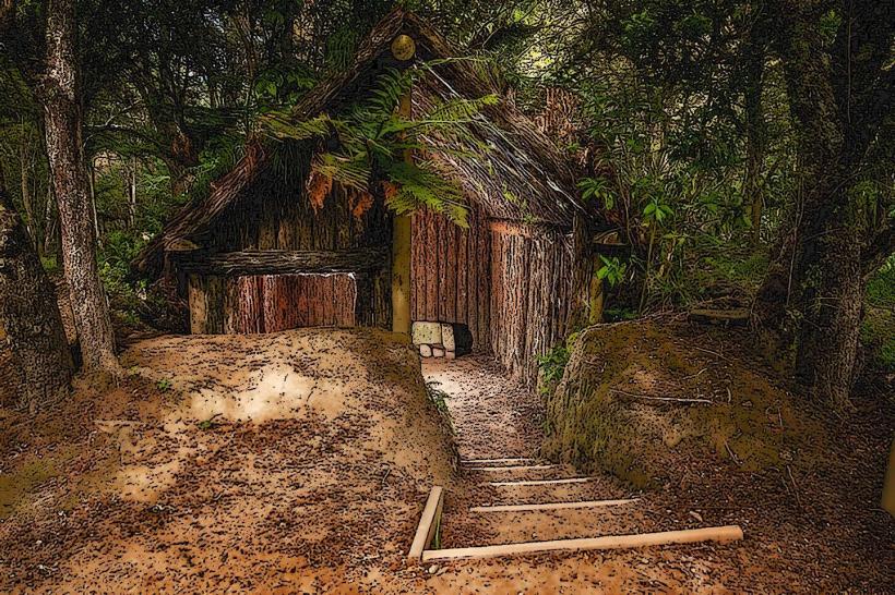
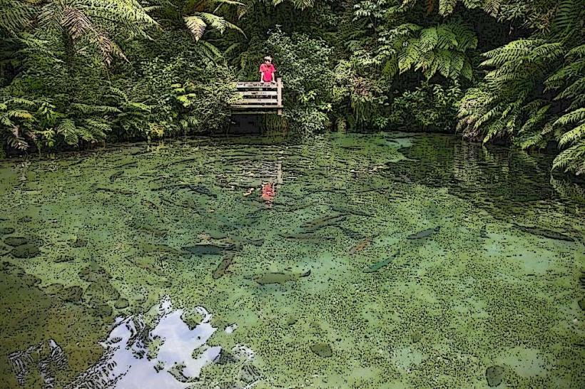
Boating, including sailing and powerboating, is a common activity. Fishing for rainbow trout is permitted. Kayaking and paddleboarding are possible. Walking tracks are available along sections of the shoreline, particularly near Government Gardens. Mokoia Island offers historical and ecological interest, accessible by boat tour.
Infrastructure & Amenities
Public restrooms are located at various points around the lake, including Government Gardens and the Rotorua Lakefront. Shade is available from trees in park areas. Cell phone signal (4G/5G) is generally strong in areas adjacent to the city. Food vendors and cafes are present along the Rotorua Lakefront and in nearby commercial areas.
Best Time to Visit
For photography, early morning and late afternoon offer optimal lighting conditions. The best months for pleasant weather are typically from December to February (summer) and March to May (autumn). Fishing is often best in the cooler months. High tide is not a significant factor for access or activities on Lake Rotorua.
Facts & Legends
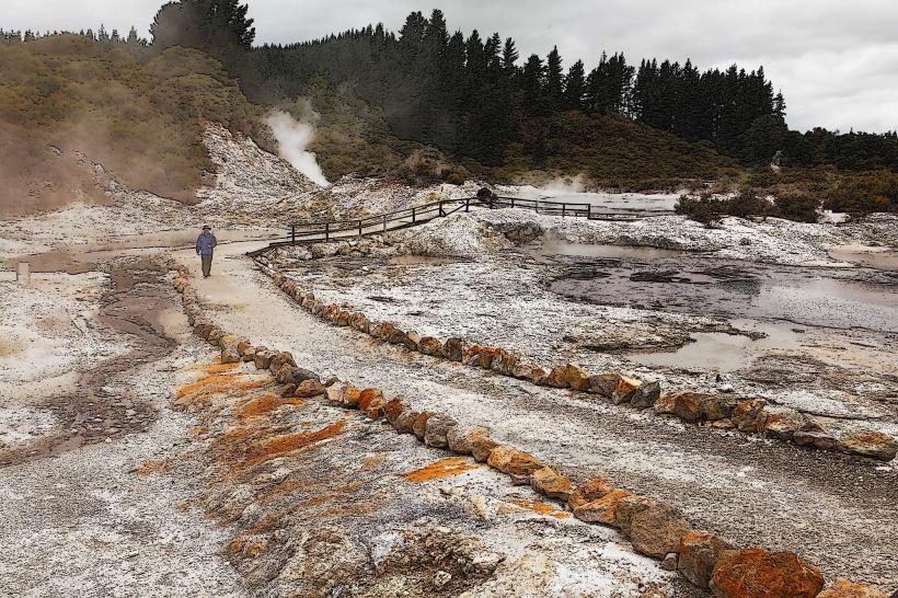
A notable local legend concerns the mythical bird, the phoenix, said to reside on Mokoia Island. Geologically, the lake's geothermal activity contributes to the unique sulfurous smell often present in Rotorua. Visitors should be aware of potential hot spots and steam vents near the shoreline in certain geothermal areas.
Nearby Landmarks
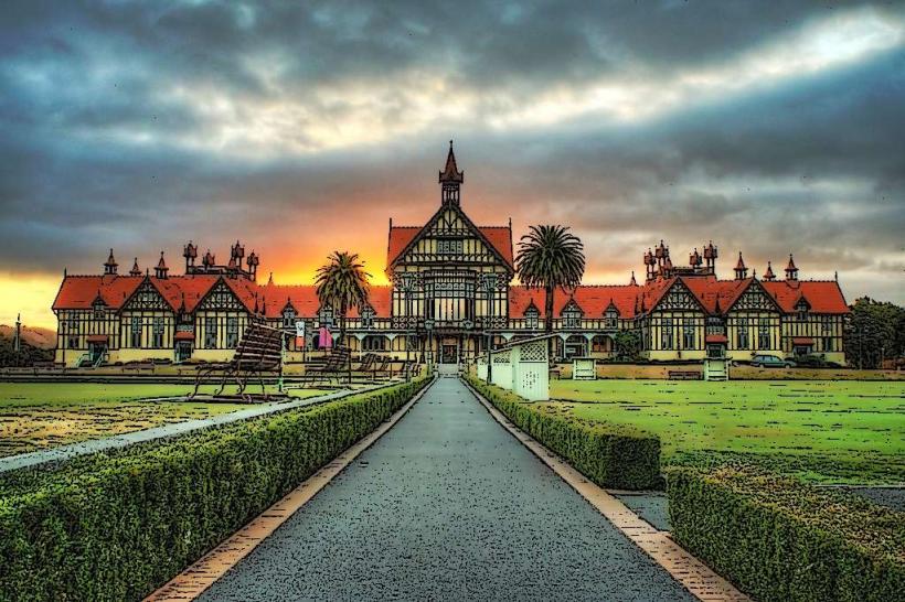
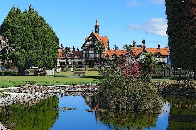
- Government Gardens (0.2km West)
- Rotorua Museum (0.3km West)
- Kuirau Park (1.5km Southwest)
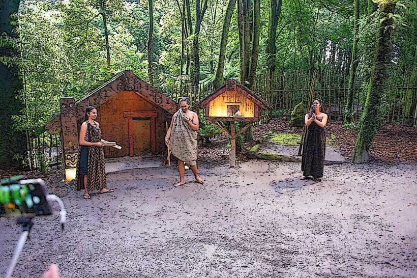
- Te Puia (4.0km Southwest)
- Whakarewarewa Thermal Village (4.5km Southwest)