Information
Landmark: Lake TaraweraCity: Rotorua
Country: New Zealand
Continent: Australia
Lake Tarawera, Rotorua, New Zealand, Australia
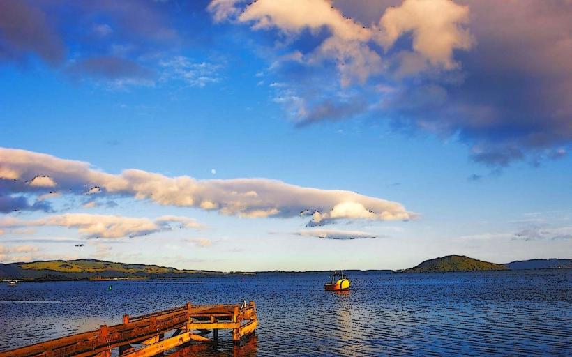
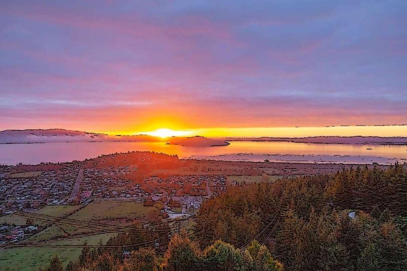
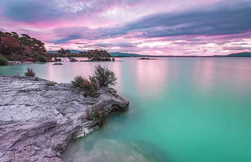
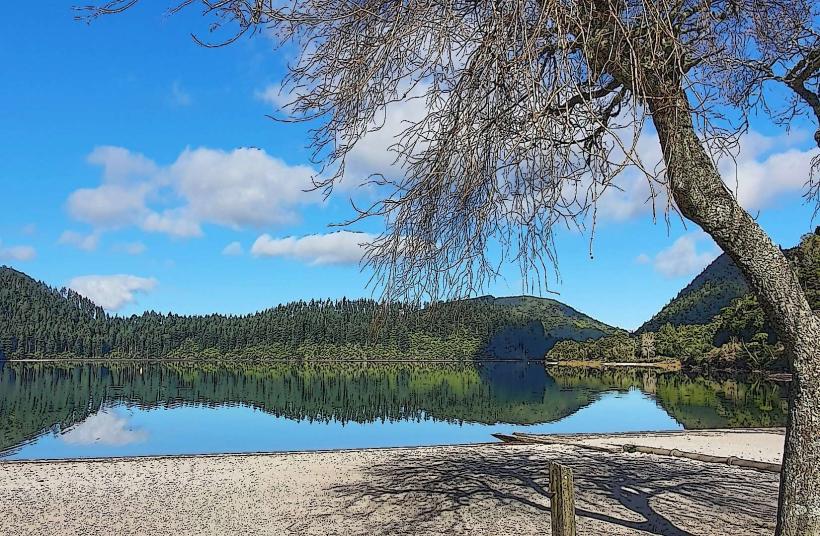
Lake Tarawera is a large, natural lake located 25 kilometers southeast of Rotorua, New Zealand. It is the largest lake in the Rotorua region.
Visual Characteristics
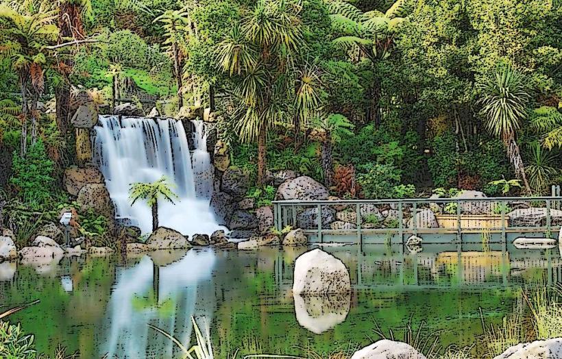
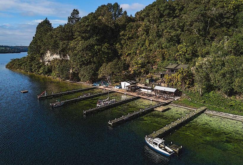
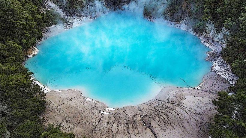
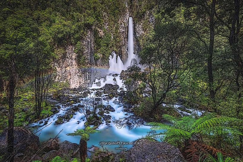
The lake's surface area is approximately 104 square kilometers. Its waters are typically a deep blue to green, varying with depth and light conditions. The shoreline is characterized by a mix of sandy beaches, rocky outcrops, and dense native bush, including fern species and various trees like rimu and totara. Several islands, such as Motutawa and Te Kuri, are situated within the lake.
Location & Access Logistics
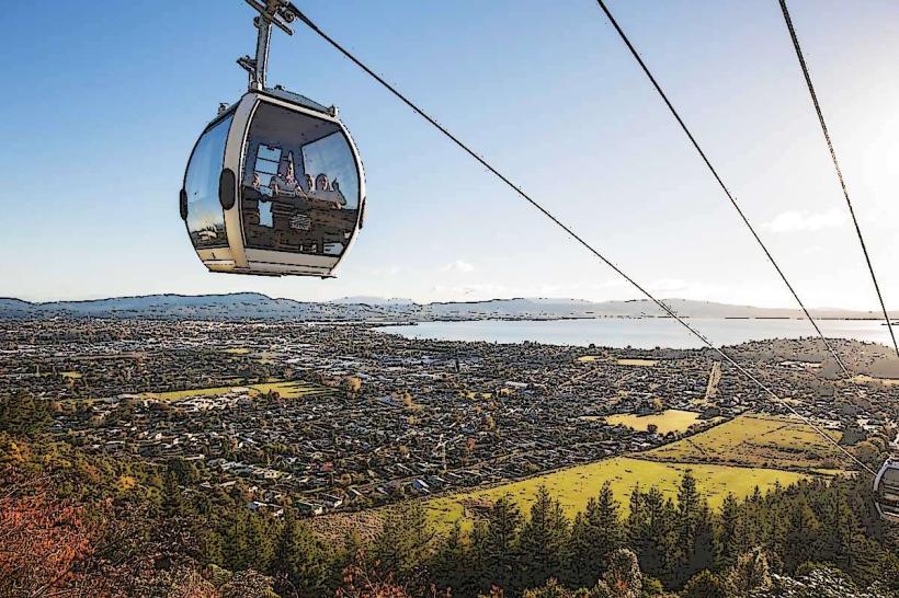
Access to Lake Tarawera is primarily via State Highway 36 (Ngongotaha Road) from Rotorua, turning onto Tarawera Road. The drive from Rotorua city center is approximately 30-40 minutes. Several public access points and boat ramps are available along the western and southern shores. Parking is available at designated areas, though it can be limited during peak seasons. Public transport to the immediate vicinity of the lake is not available; private vehicle or taxi is required.
Historical & Ecological Origin
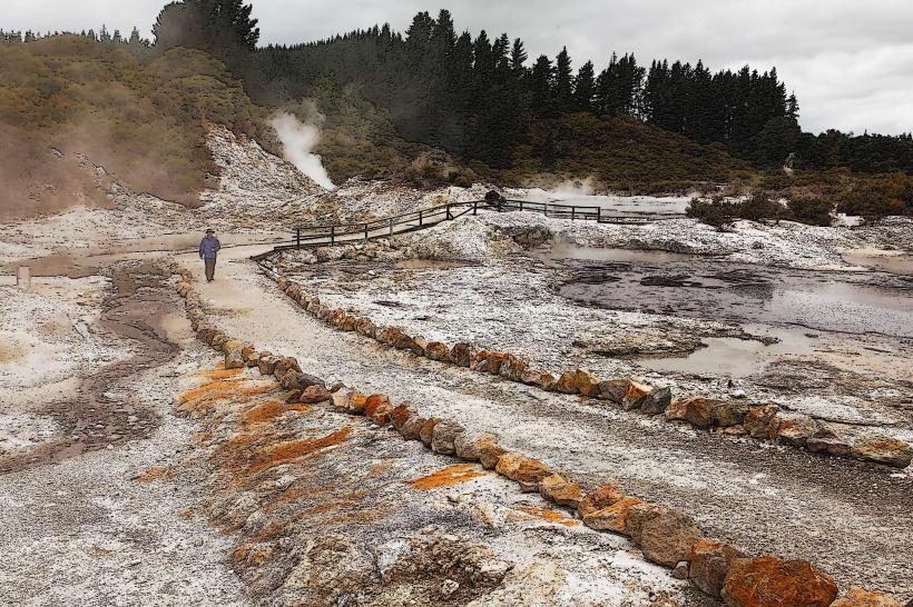
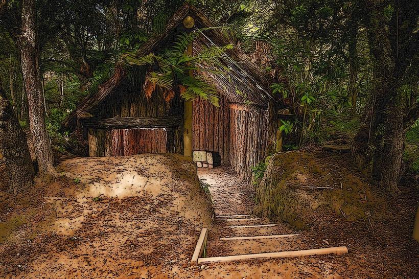
Lake Tarawera was formed by a series of volcanic eruptions, most notably the Mount Tarawera eruption in 1886. This cataclysmic event significantly reshaped the landscape, burying the original Maori village of Te Wairoa and creating the current lake basin. Ecologically, it is a freshwater lake within a temperate rainforest biome, supporting a range of native flora and fauna.
Key Highlights & Activities
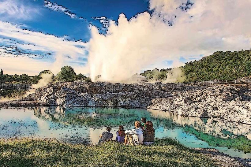
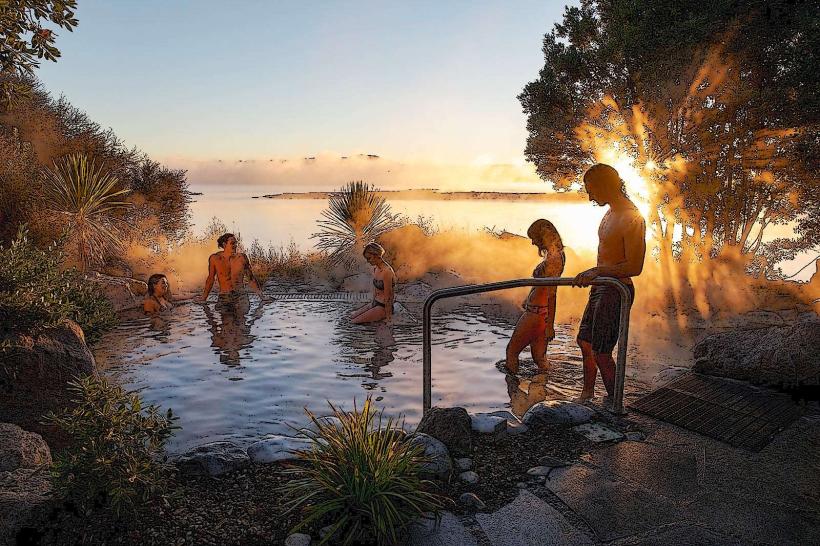
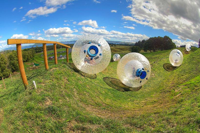
Activities include trout fishing (seasonally regulated), kayaking, swimming, and boating. Hiking trails are present around parts of the lake, such as the Tarawera Trail which offers multi-day trekking options. Access to the Tarawera Hot Springs, accessible by boat, is a notable feature.
Infrastructure & Amenities
Basic amenities are available at some access points, including boat ramps and limited picnic areas. Restrooms are present at key locations like the Tarawera Landing. Cell phone signal can be intermittent, particularly in more remote areas around the lake. Food vendors are not typically found directly at the lake; visitors should bring supplies. Shade is provided by native trees in many areas.
Best Time to Visit
The best months for visiting are generally from December to February (summer) for warmer weather suitable for water activities. For trout fishing, specific seasons apply, with autumn often considered prime. The best time of day for photography depends on light; early morning and late afternoon offer softer light. High tide is not a significant factor for access, but water levels can affect boat launching.
Facts & Legends
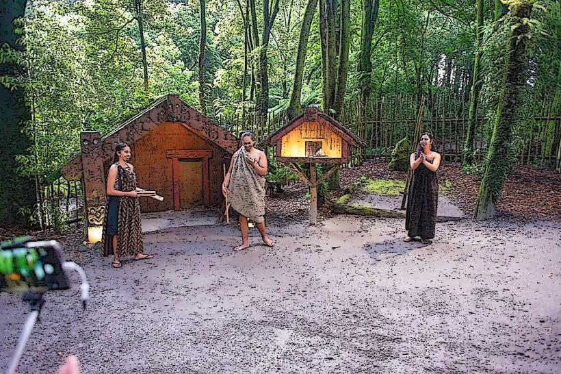
A significant historical event is the 1886 eruption of Mount Tarawera, which buried the famed Pink and White Terraces and tragically claimed many lives. Local Maori legends speak of the Taniwha (water spirits) that inhabit the lake's depths.
Nearby Landmarks
- Rotorua City Centre (25km Northwest)
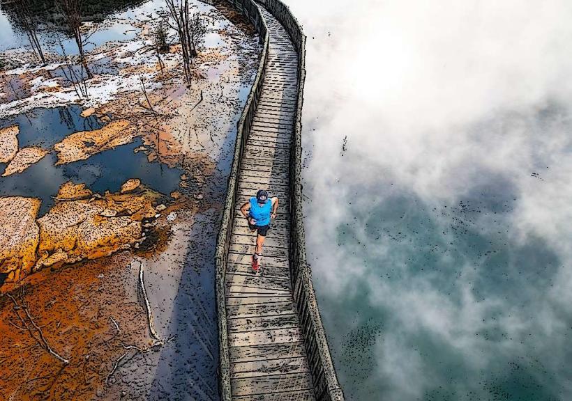
- Waimangu Volcanic Valley (15km Southwest)
- Te Puia (20km Northwest)
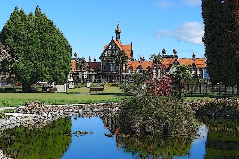
- Government Gardens (22km Northwest)
- Whakarewarewa Thermal Valley (23km Northwest)