Information
Landmark: Mount NgongotahaCity: Rotorua
Country: New Zealand
Continent: Australia
Mount Ngongotaha, Rotorua, New Zealand, Australia
Mount Ngongotaha is a dormant volcanic cone located south of Rotorua, New Zealand. It rises to an elevation of 757 meters above sea level.
Visual Characteristics
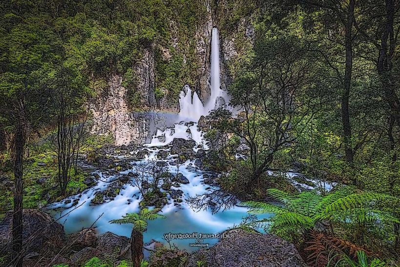
The mountain exhibits a conical shape with steep, vegetated slopes. The lower sections are covered in mixed native and introduced forest, transitioning to scrubland and exposed rock near the summit. The summit area features a small, flat plateau.
Location & Access Logistics
Mount Ngongotaha is situated approximately 5 kilometers south of Rotorua's central business district. Access is via State Highway 5 (Te Ngae Road), turning onto Ngongotaha Road. A well-maintained gravel road leads to a parking area at the base of the summit trail. Public transport options to the base of the mountain are limited; the nearest bus stops are on State Highway 5, requiring a walk of approximately 1.5 kilometers to the trailhead.
Historical & Ecological Origin
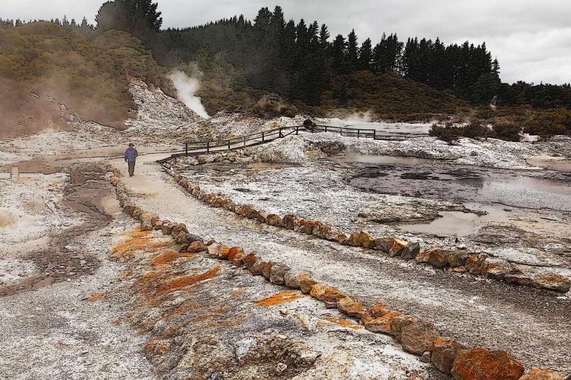
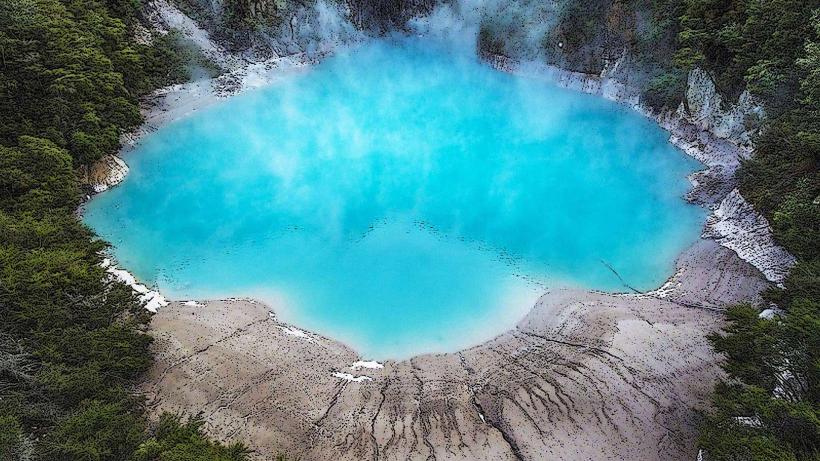
Mount Ngongotaha is part of the Rotorua Volcanic Field, formed by volcanic activity approximately 200,000 years ago. It is classified as a scoria cone. The surrounding land has been shaped by geothermal activity and past lava flows.
Key Highlights & Activities
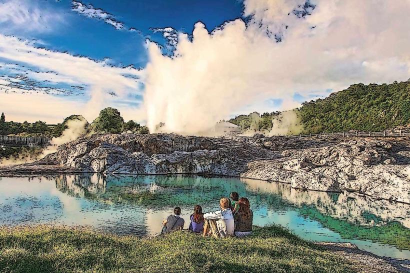
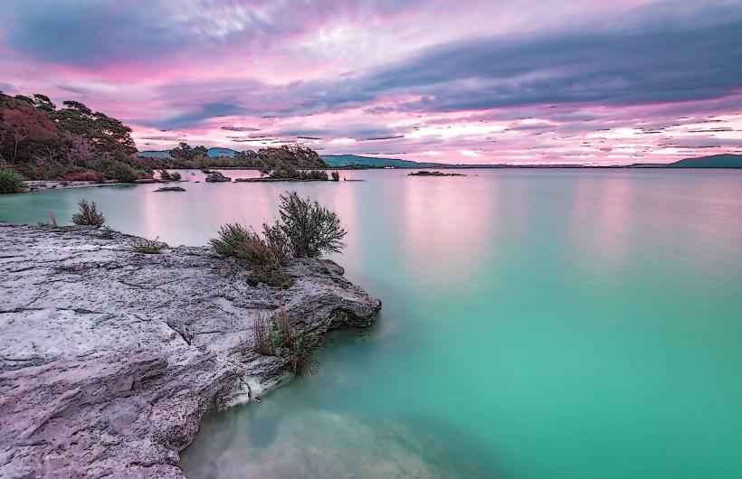
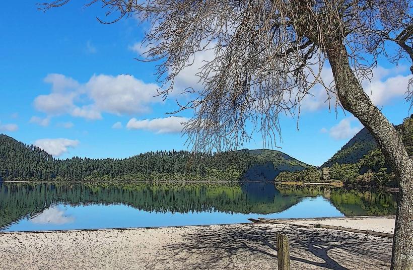
The primary activity is hiking the summit trail, a 3-kilometer loop that takes approximately 1.5 hours to complete. The trail offers viewpoints at various stages. At the summit, panoramic views of Rotorua city, Lake Rotorua, and the surrounding landscape are available. Birdwatching is also a common activity due to the diverse vegetation.
Infrastructure & Amenities
A small parking area is available at the trailhead. There are no restroom facilities or food vendors at the mountain. Cell phone signal (4G/5G) is generally available at the summit and along the upper sections of the trail, but can be intermittent in the lower forest areas.
Best Time to Visit
For photography, early morning or late afternoon provides optimal lighting conditions due to the angle of the sun. The best months for hiking are typically from September to May, avoiding the cooler, wetter winter months. Clear days are recommended for summit views.
Facts & Legends
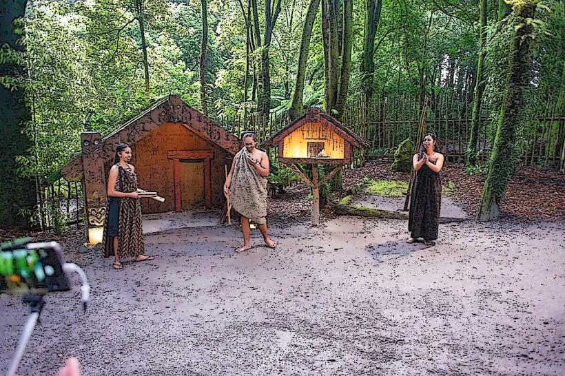
Local Māori legend states that Mount Ngongotaha was formed when the giant canoe Arawa was being dragged ashore. A large stone, believed to be the anchor of the canoe, was dropped and became the mountain. A specific tip for visitors is to look for the distinctive rock formations near the summit, which are remnants of the volcanic eruption.
Nearby Landmarks
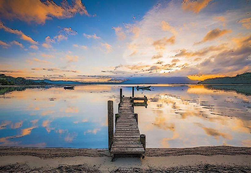
- Rotorua Lakefront (2.5km North)
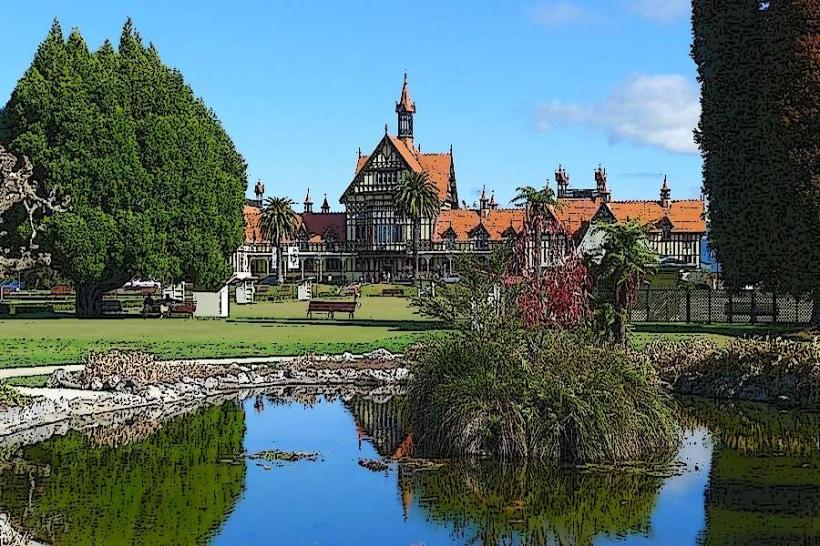
- Government Gardens (3.0km North)
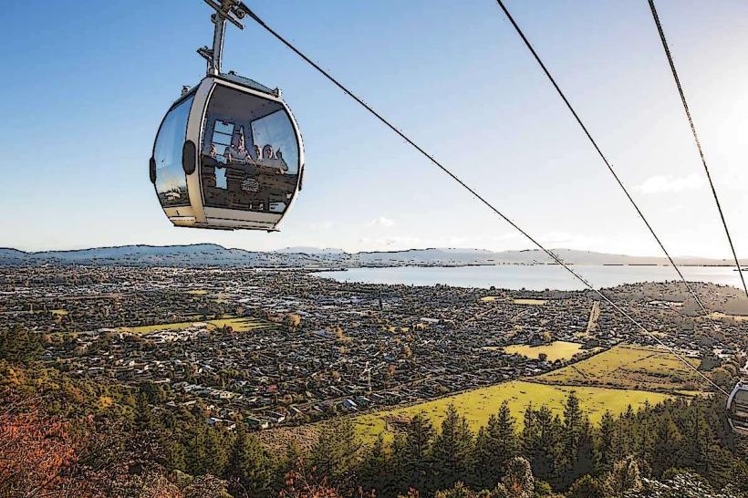
- Skyline Rotorua (3.5km North)
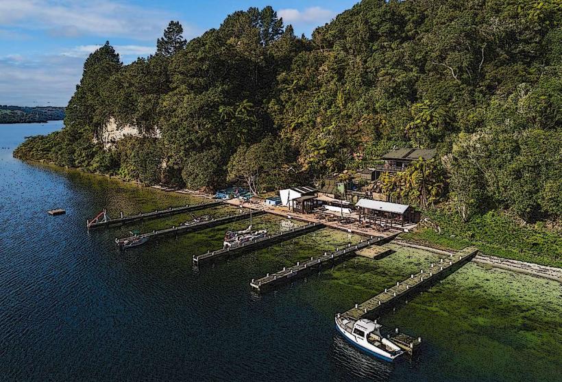
- Rainbow Springs Nature Park (4.0km North)
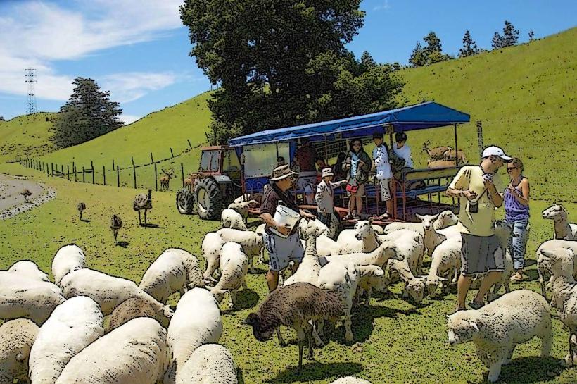
- Agrodome (4.5km North)