Information
Landmark: Llogara PassCity: Vlora
Country: Albania
Continent: Europe
Llogara Pass, Vlora, Albania, Europe
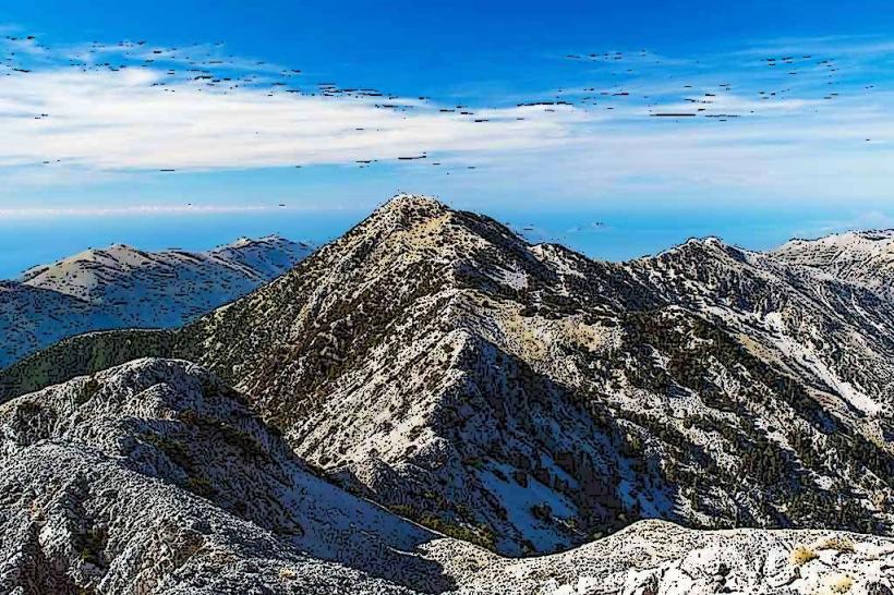
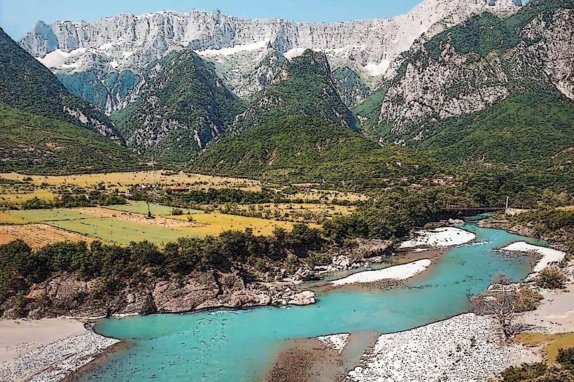
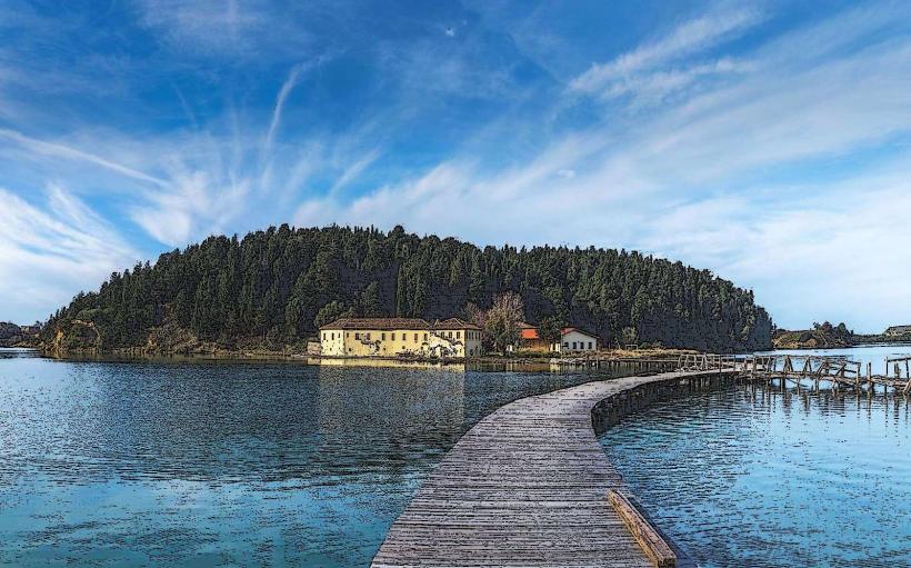
Llogara Pass is a high mountain pass in the Ceraunian Mountains connecting the Vlora coastline to the Albanian Riviera. It reaches an elevation of 1,027 meters and serves as the primary divide between the Adriatic and Ionian Seas.
Visual Characteristics
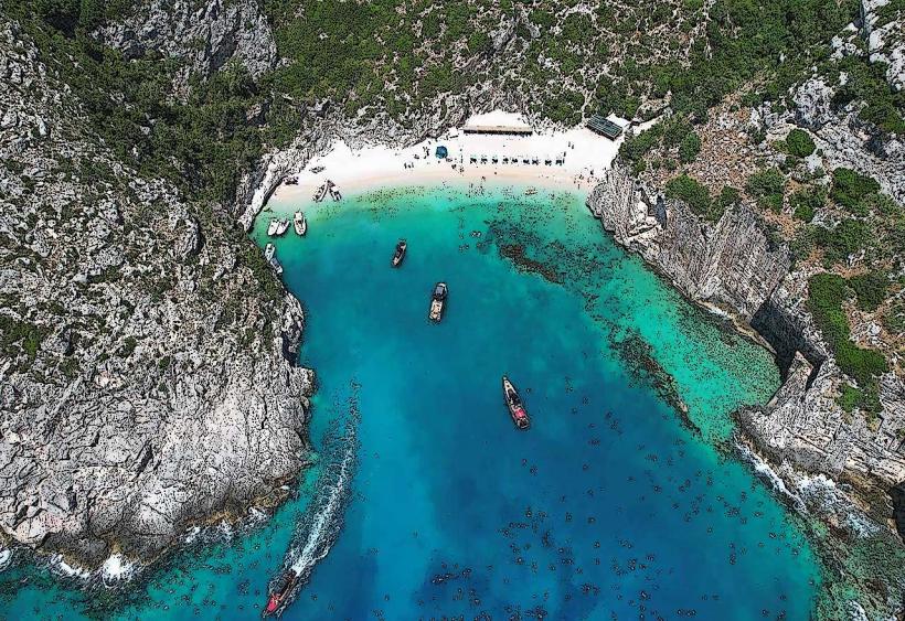
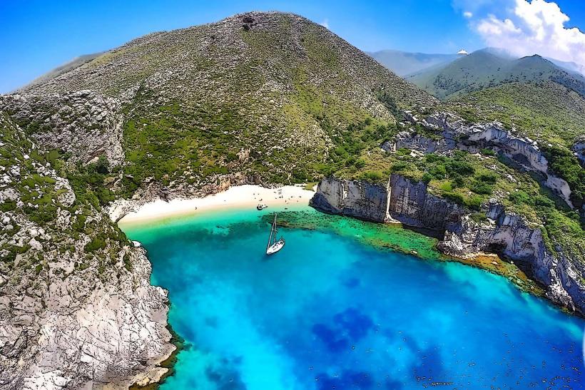
The pass is characterized by steep limestone cliffs and a serpentine asphalt road with multiple hairpin turns. The northern side is covered in dense coniferous forests of Bosnian and Austrian pines, while the southern descent reveals vertical drop-offs toward the Ionian Sea and the white pebble beaches of Palasa. The vegetation transitions abruptly from alpine forest to Mediterranean shrubs during the descent.
Location & Access Logistics
The site is located on the SH8 national highway, approximately 38km south of Vlora city center. It is accessible only by road; private vehicles or the intercity bus line running between Vlora and Saranda are the primary transport options. Dedicated parking bays and viewing platforms, such as the Panorama Llogara, are situated at the summit. Road conditions are paved but include sharp gradients and sharp curves.
Historical & Ecological Origin
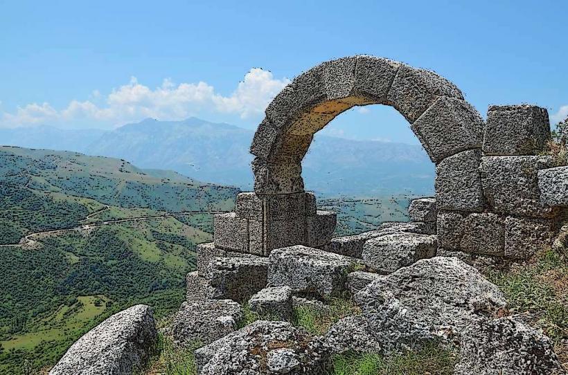
The pass is a geological saddle formed by tectonic activity within the Ceraunian range. Historically, it is identified as the route used by Julius Caesar's legions in 48 BC to cross the mountains from the coast. The surrounding area was designated as the Llogara National Park in 1966 to preserve the unique "flag pine" formations, which are bent by constant northern winds.
Key Highlights & Activities
Observation of the coastal panorama from the summit is the primary activity. The pass serves as a launch point for paragliding, with landing zones located on the beaches of Palasa below. Hiking trails originate from the pass, including the route to the peak of Mount Çika (2,044m) and the Caesar’s Pass trail. Scenic photography is common at the designated Llogara viewpoint antena towers.
Infrastructure & Amenities
The summit area features several stone-built hotels, mountain resorts, and restaurants specializing in local roasted meat. Public restrooms are available within these commercial establishments. 4G and 5G cellular coverage is generally stable along the SH8 road. Shade is abundant in the forested northern sections but absent on the southern cliffside viewing areas.
Best Time to Visit
Visibility is highest during the early morning hours before coastal mist or clouds accumulate around the peaks. The months of May through October offer optimal driving conditions and clear views of the Ionian islands. In winter, the pass can experience heavy snowfall and ice, occasionally requiring the use of tire chains for transit.
Facts & Legends
The pass is often referred to as "Caesar's Pass" based on historical accounts of the Roman Civil War. A local ecological oddity is the "Pisha Flamur" (Flag Pine), a centuries-old tree whose branches have grown entirely in one direction due to the intensity and persistence of the prevailing winds at the ridge.
Nearby Landmarks
Panorama Llogara: 0.1km South
Llogara National Park: 2.5km North
Bunker Near Panorama Llogara: 0.15km South
Llogara viewpoint antena towers: 1.5km Northwest
Palasa Beach: 4.5km Southwest (vertical distance)