Information
Landmark: Vlora BayCity: Vlora
Country: Albania
Continent: Europe
Vlora Bay, Vlora, Albania, Europe
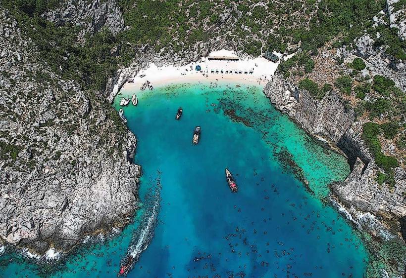
Vlora Bay is a large semi-enclosed body of water located in the southeastern Adriatic Sea along the southwestern coast of Albania. It is geographically defined by the Karaburun Peninsula to the west and the city of Vlora to the east.
Visual Characteristics
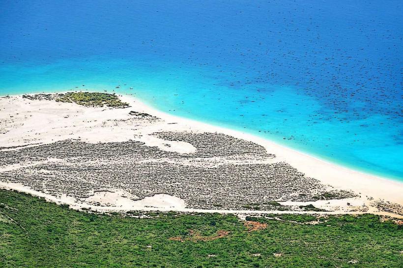
The bay features deep blue to turquoise waters with depths reaching up to 54 meters. The coastline varies from urban sandy beaches in the north to steep limestone cliffs and pebbled coves along the western and southern edges. Vegetation density is high on the Karaburun side, consisting of Mediterranean macchia and pine forests, while the eastern shore is heavily developed with concrete piers and stone promenades.
Location & Access Logistics
The bay is accessed via the SH8 national highway (Rruga Aleksandër Moisiu) which runs along the eastern coastline. The Port of Vlora sits at the northeastern corner, providing ferry links to Brindisi, Italy. Public transport is available via the "Uji i Ftohtë" bus line starting from Flag Square. Boat transfers to the western coves depart daily from the Teuta pier or the Vlora Marina.
Historical & Ecological Origin
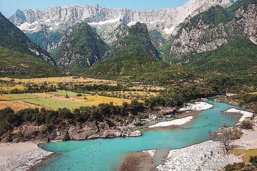
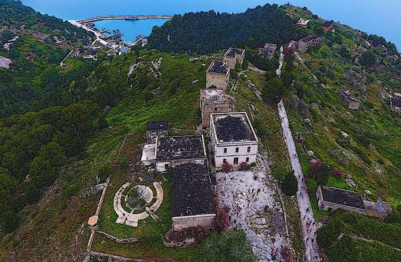
The bay is a tectonic depression formed by the collision of the Eurasian and African plates. Historically, it served as a strategic naval base for the Romans, Byzantines, and Ottomans due to the natural shelter provided by Sazan Island. It is currently part of the Karaburun-Sazan Marine Park, the only maritime park in the country.
Key Highlights & Activities
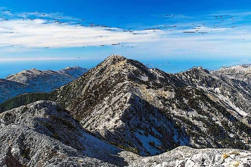
Recreational boating and sailing are concentrated in the northern sector. Scuba diving is permitted at specific sites near the shipwreck of the Italian hospital ship Po and the "Viroit" underwater cave. Seasonal swimming is the primary activity at the "Plazhi i Vjeter" and "Radhima" beach zones. Hiking trails extend along the southern coastal ridges toward the Llogara Pass.
Infrastructure & Amenities
The eastern shoreline is fully equipped with 5G cellular coverage, public restrooms at beach clubs, and extensive food vendors. The western Karaburun side is uninhabited with no cell signal, no shade, and no freshwater sources. Organized beach zones provide sunbeds and umbrellas for a fee, while the southern stretches remain largely undeveloped.
Best Time to Visit
The best months for water-based activities are June through September when water temperatures average 23°C to 25°C. For photography, sunset views are optimal from the "Uji i Ftohtë" area looking west toward the Karaburun silhouette. High tide impact is minimal as the tidal range in the Adriatic is approximately 0.3 meters.
Facts & Legends
The bay is famously associated with Julius Caesar, who landed his legions at Palasa just south of the bay during the Civil War against Pompey in 48 BC. A local legend claims that hidden freshwater springs exist beneath the seabed near the "Cold Water" (Uji i Ftohtë) district, creating visible circular ripples on the surface during calm weather.
Nearby Landmarks
Sazan Island: 4.5km West (from Karaburun tip)
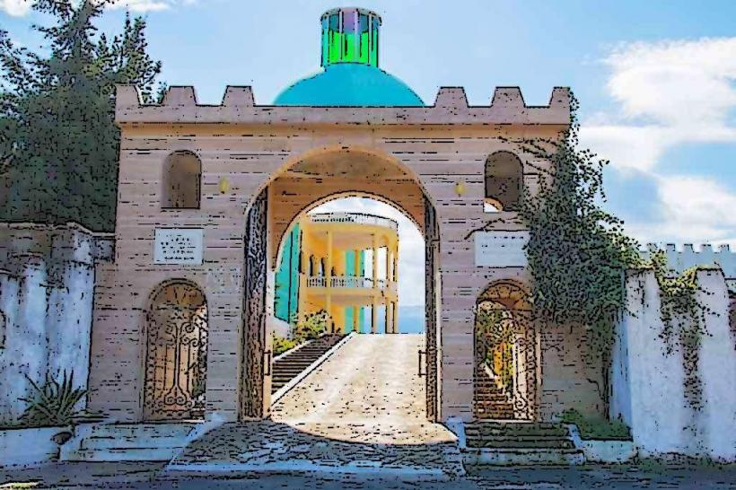
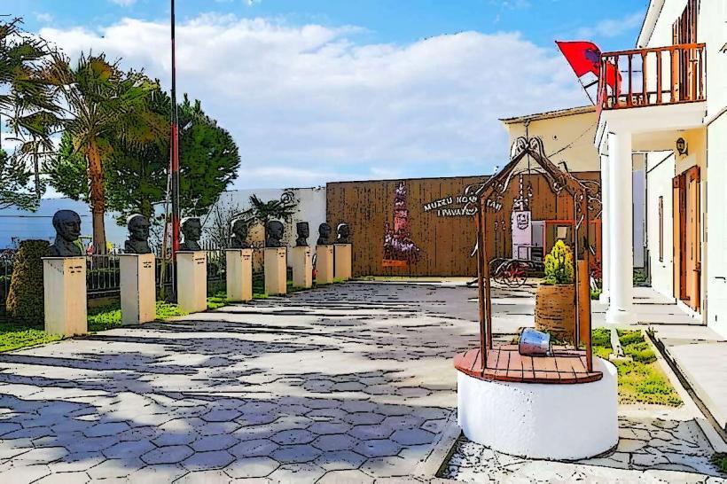
National Museum of Independence: 0.5km East (from Port)
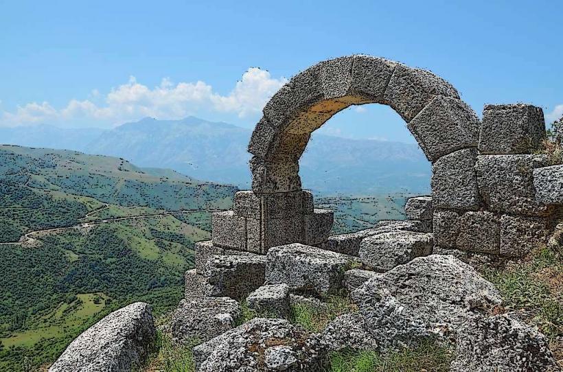
Kanina Castle: 3.2km Southeast
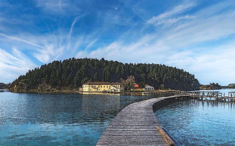
Zvernec Monastery: 7.5km Northwest
Radhima Beach: 4.8km South