Information
Landmark: Maritsa RiverCity: Plovdiv
Country: Bulgaria
Continent: Europe
Maritsa River, Plovdiv, Bulgaria, Europe
The Maritsa River is the largest waterway in the Balkan Peninsula by discharge, flowing through the northern part of Plovdiv. It acts as a natural geographic boundary between the central urban districts and the northern district of Severen (Karshiyaka).
Visual Characteristics
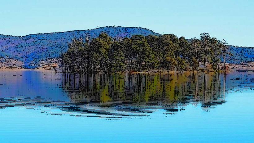
The riverbed in the Plovdiv section is wide and shallow, characterized by numerous natural sandbars and small vegetated islands. The banks are reinforced with concrete levees and stone retaining walls, with high-density greenery including willow and poplar trees. In the central area, the river is crossed by several industrial-scale bridges, including the prominent Covered Bridge (Peshtersko Shose) which features a commercial interior.
Location & Access Logistics
The river is accessible via the Maritsa Boulevard (North and South), which runs parallel to the banks. It is located approximately 1km north of the Kapana District and the Ancient Theatre. Pedestrians can access the quays directly from the city center. Public transport users can take Bus Lines 1, 4, 7, 11, and 27, which cross the Maritsa Bridge. Street parking is available along the adjacent boulevards, though it is subject to the "Blue Zone" paid parking regulations.
Historical & Ecological Origin
The Maritsa flows through the Upper Thracian Plain and is composed of alluvial sediments. Historically, the river was navigable for shallow-draft vessels until the mid-19th century and served as a major transport route for timber and agricultural goods toward the Aegean Sea. Ecologically, the river and its islands are part of the Natura 2000 network, serving as a corridor for migratory birds and local fish species like barbel and chub.
Key Highlights & Activities
The embankments feature paved paths used for long-distance cycling and jogging. The Bridge of Pedestrians (Saeedinenie) provides a walkway lined with retail shops and cafes. Birdwatching is a frequent activity on the river islands, particularly near the Greben Kanal (Rowing Canal) area. Fishing is permitted in designated sections outside the immediate central commercial zones.
Infrastructure & Amenities
The quays are equipped with public benches and street lighting, though some sections are more maintained than others. 4G and 5G cellular coverage is excellent along the entire urban stretch. Public restrooms are not located directly on the riverbanks but can be found in the adjacent Kapana district or within the shopping center on the pedestrian bridge. Shade is abundant along the southern bank due to mature tree lines.
Best Time to Visit
The best time for photography is at sunset when the light reflects off the water and highlights the silhouettes of the Old Town hills to the south. The river is most visually striking during late spring (May) when the water levels are higher and the vegetation is at maximum density. Early morning visits provide the best opportunities for observing local waterfowl.
Facts & Legends
A verified historical oddity is that Plovdiv once had a sophisticated system of water-powered mills along the Maritsa, which were instrumental in the city's early industrial development. A local tip for visitors is that the "island" near the University of Plovdiv buildings is one of the best spots to see the endangered Pygmy Cormorant, which nests in the river's riparian forests.
Nearby Landmarks
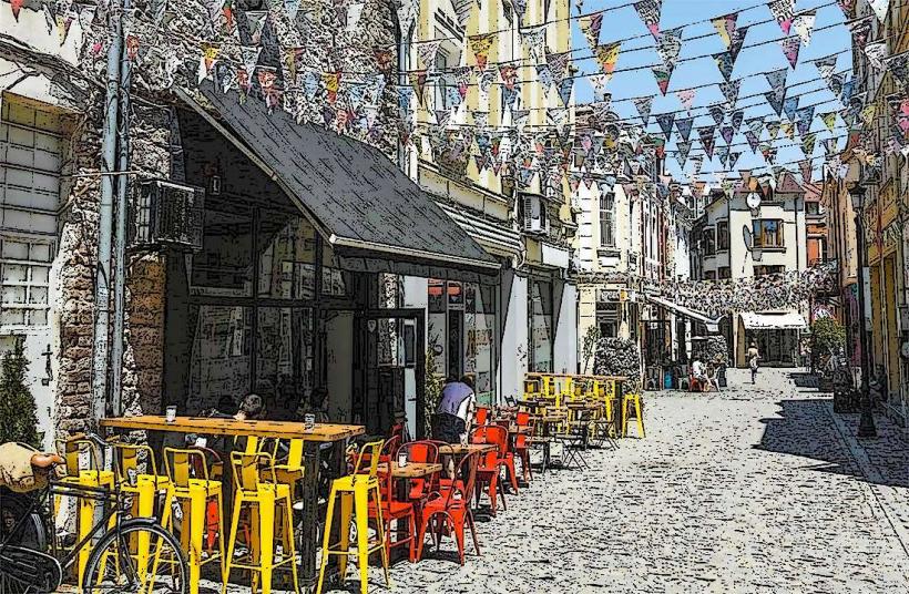
Kapana District (0.9km South)
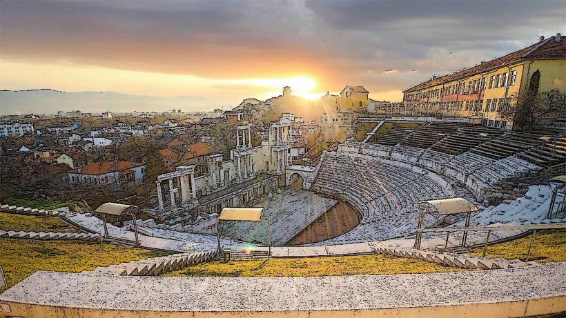
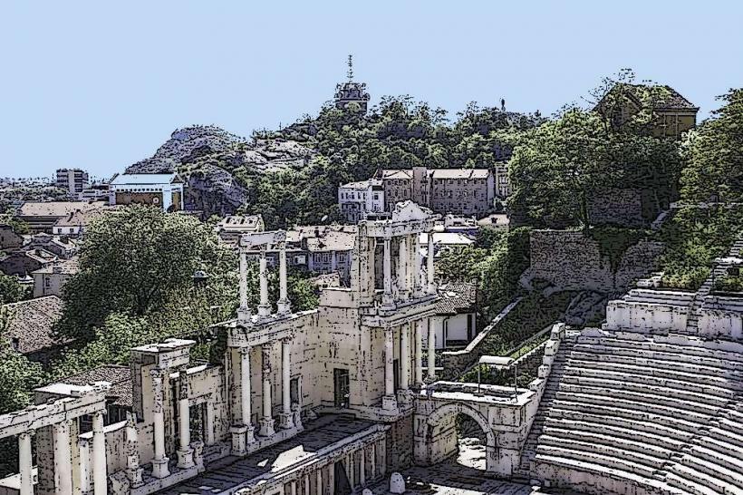
Ancient Theatre of Philippopolis (1.2km South)
Plovdiv Old Town (1.0km South)
Nebet Tepe Hill (0.8km South)
Plovdiv International Fair (0.2km North)