Information
Landmark: Mooserboden DamCity: Zell am See
Country: Austria
Continent: Europe
Mooserboden Dam, Zell am See, Austria, Europe
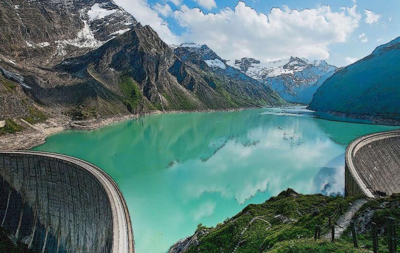
The Mooserboden Dam is the primary containment structure of the upper reservoir within the Kaprun hydroelectric complex, situated at an elevation of 2,036 meters. It consists of two massive dams, the Moosersperre and the Drossensperre, separated by the Höhenburg rock massif.
Visual Characteristics
The Moosersperre is a concrete gravity arch dam measuring 107 meters in height and 494 meters in length. The concrete surface exhibits a weathered grey industrial finish, contrasting with the turquoise glacial water of the reservoir. The surrounding environment is characterized by sharp granite peaks, sparse alpine scree, and permanent snow patches on the northern slopes.
Location & Access Logistics
The dam is located at the southern terminus of the Kaprun Valley, approximately 15km from Zell am See. Access is strictly via a coordinated transport system starting at the Kesselfall-Alpenhaus parking garage. Visitors must board specialized shuttle buses through rock tunnels and ascend the Lärchwand inclined elevator, the largest open-platform diagonal lift in Europe, to reach the crest.
Historical & Ecological Origin
Initial planning began in the 1930s, but the main construction occurred during the post-war reconstruction period (1947–1955) using Marshall Plan funds. It was built as a symbol of Austrian energy independence. The reservoir is fed by the Pasterze glacier through a 12km long pressure tunnel, functioning as a critical component of the national power grid's peak-load capacity.
Key Highlights & Activities
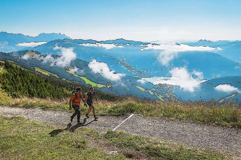
Visitors can walk across the 500-meter crest of the dam for views of the Kaprun valley. Guided technical tours proceed into the interior "control corridors" of the dam wall to see the seismic and pressure monitoring equipment. The Höhenburg peak, accessible via a steep trail from the dam, provides an overlook of both the Mooserboden and Wasserfallboden reservoirs.
Infrastructure & Amenities
The Bergrestaurant Mooserboden at the bus terminus provides dining and public restrooms. 4G and 5G cellular signals are generally available on the dam crest but may drop in the tunnels. There is no shade available on the dam or the surrounding walking paths. The "Electricity and Ice" exhibition center near the Moosersperre provides educational displays on hydroelectricity.
Best Time to Visit
The dam is accessible to the public only from late May to mid-October. Midday (11:00 to 14:00) offers the best overhead lighting for photographing the turquoise water. High-altitude weather is volatile; clear conditions in Kaprun do not guarantee visibility at the dam, so checking the local mountain webcams is recommended prior to ascent.
Facts & Legends
The dam wall contains over 1 million cubic meters of concrete. A local "secret" is the MOBY-Dick via ferrata, which is the world's highest climbing route located directly on a dam wall, allowing climbers to scale the vertical concrete face using fixed steel cables and rungs.
Nearby Landmarks
Wasserfallboden Reservoir – 0.4km North (at lower level)
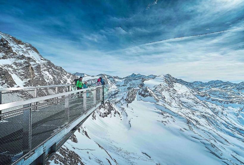
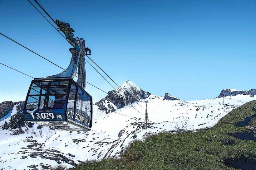
Kitzsteinhorn Glacier – 4.2km Southwest
Lärchwand Inclined Elevator – 1.5km North
Kesselfall-Alpenhaus – 3.5km North
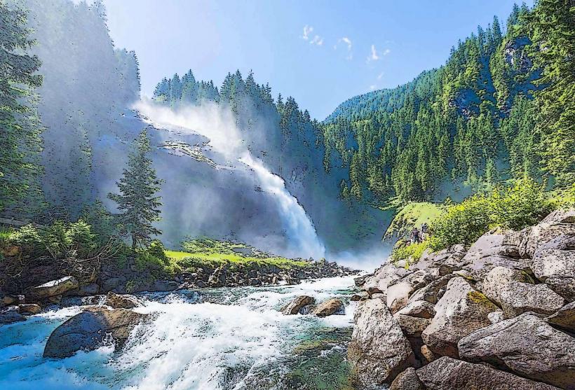
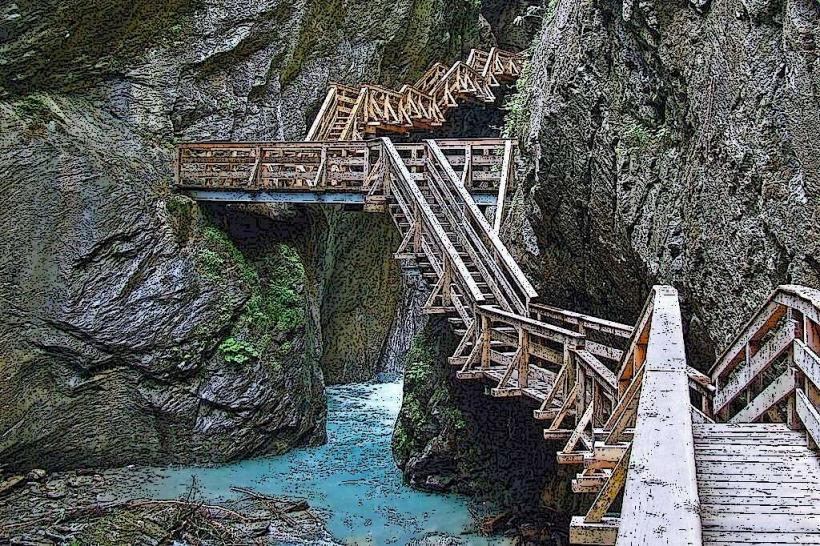
Sigmund Thun Gorge – 7.8km North