Information
Landmark: Motopi Cultural SiteCity: Gaborone
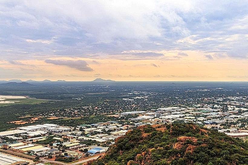
Country: Botswana
Continent: Africa
Motopi Cultural Site, Gaborone, Botswana, Africa
The Motopi Cultural Site is an archaeological location situated in the Tlokweng District, approximately 15 kilometers east of Gaborone, Botswana.
Visual Characteristics
The site features a series of rock shelters and open-air rock art panels. The rock art primarily consists of geometric patterns and some anthropomorphic figures rendered in red and white ochre pigments. The surrounding landscape is characterized by granite hills and sparse acacia vegetation.
Location & Access Logistics
Access to Motopi Cultural Site is via the A1 highway heading east from Gaborone. Turn north onto the unpaved road signposted towards Tlokweng Village. After approximately 5 kilometers on the unpaved road, a smaller track leads to the site. Vehicle access is limited to 4x4 vehicles during the wet season due to potential mud. Parking is available at the base of the main hill. No public transport directly serves the site; a taxi or private vehicle is required from Gaborone.
Historical & Ecological Origin
The rock art is attributed to the San people, with dating estimates placing some of the earliest paintings between 2,000 and 4,000 years ago. The site's geological formation is part of the Precambrian basement complex, characterized by weathered granite outcrops.
Key Highlights & Activities
Exploration of the rock shelters and examination of the rock art panels are the primary activities. Visitors can follow marked paths to view the most accessible art sites. Photography of the rock art is permitted.
Infrastructure & Amenities
There are no permanent facilities at the Motopi Cultural Site. Visitors should carry their own water and food. Restroom facilities are not available. Cell phone signal is intermittent.
Best Time to Visit
The best time of day for viewing the rock art is during the morning (9:00 AM - 11:00 AM) or late afternoon (3:00 PM - 5:00 PM) when the sun angle provides optimal illumination. The dry season, from May to October, offers the most favorable weather conditions and easier road access.
Facts & Legends
Local oral tradition suggests that some of the geometric patterns represent star constellations, though this interpretation is not universally accepted by archaeologists. A specific tip for visitors is to look for faint white pigment markings near the base of the main shelter, which are often overlooked.
Nearby Landmarks
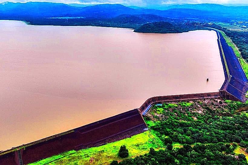
- Tlokweng Dam (2.5km West)
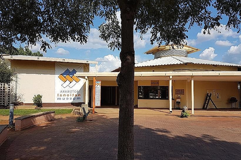
- Botswana National Museum (14km West)
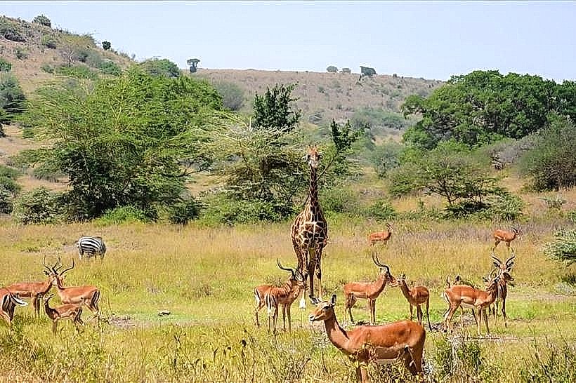
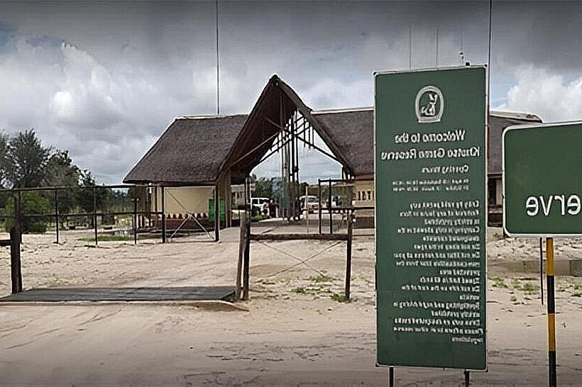
- Gaborone Game Reserve (16km West)
- Kgale Hill (18km Southwest)