Information
Landmark: Mount PicoCity: Azores
Country: Portugal
Continent: Europe
Mount Pico, Azores, Portugal, Europe
Mount Pico is a stratovolcano located on Pico Island and represents the highest point in Portugal, reaching an elevation of $2,351$ meters. It is a dominant topographic feature of the Central Group of the Azores archipelago and is classified as an active but dormant volcano.
Visual Characteristics
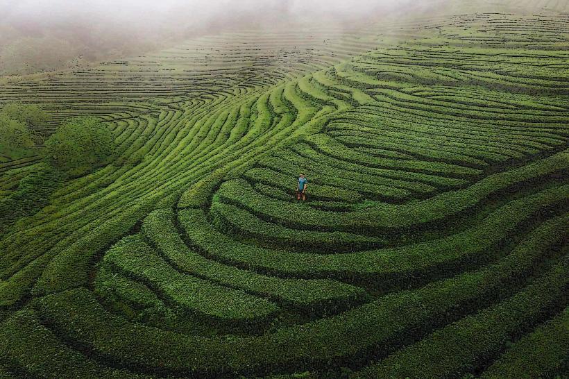
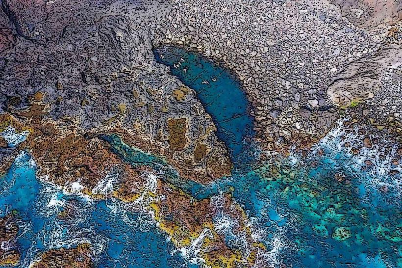
The mountain features a perfectly symmetrical primary cone with a smaller secondary cone, known as Piquinho, located within the main crater (Caldeira). The upper slopes consist of dark basaltic rock, volcanic scoria, and solidified lava flows, devoid of significant vegetation. At its base, the terrain transitions into a mosaic of green pastures and endemic shrubs such as the Azores juniper and heather.
Location & Access Logistics
The mountain is situated in the central-western part of Pico Island. Access is via a mountain road from the town of Madalena or São Roque to the Casa da Montanha (Mountain House), located at $1,200$ meters. Public transport does not reach the trailhead; visitors must utilize rental vehicles or taxis. All climbers are required to check in at the Casa da Montanha for registration and a mandatory GPS tracking device.
Historical & Ecological Origin
Mount Pico began forming approximately 270,000 years ago through successive basaltic eruptions. The most recent significant eruption occurred in 1718 from lateral vents on its flanks. The mountain is part of the Pico Island Nature Park and is a designated Special Area of Conservation, hosting unique high-altitude alpine vegetation and serving as a critical site for studying Macaronesian volcanic ecosystems.
Key Highlights & Activities
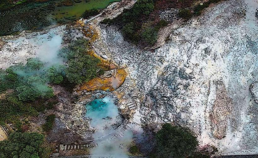
The primary activity is the demanding $7.6$-kilometer round-trip hike to the summit, which involves an elevation gain of $1,151$ meters from the starting point. Experienced guides offer overnight climbs to view the sunrise from the peak. At the summit of Piquinho, visitors can observe active fumaroles emitting sulfurous steam, indicating the volcano's residual geothermal heat.
Infrastructure & Amenities
The Casa da Montanha provides the only significant infrastructure, including a briefing room, public restrooms, and a small cafe. 4G and 5G cellular signals are generally available along the trail but can be obstructed by weather or terrain. There is no shade, water, or food available once the ascent begins; climbers must carry all necessary provisions, including at least 2 liters of water.
Best Time to Visit
The optimal months for climbing are July and August when the probability of clear skies and stable atmospheric conditions is highest. Photography is best during the early morning or late evening to capture the "shadow of the mountain" projected across the sea toward the island of Faial. Climbs are strictly regulated by daily quotas and weather conditions; checking the Casa da Montanha status is mandatory.
Facts & Legends
A verified geological phenomenon at the summit is the presence of "lava tubes" and fumaroles where the ground remains warm to the touch even in winter. A local legend suggests that the mountain acts as a weather barometer for the inhabitants of the neighboring islands; if the peak is "wearing a hat" (shrouded in a lenticular cloud), rain is expected within 24 hours.
Nearby Landmarks
Casa da Montanha: 0.0km (Start Point)
Lagoa do Capitão: 4.8km East
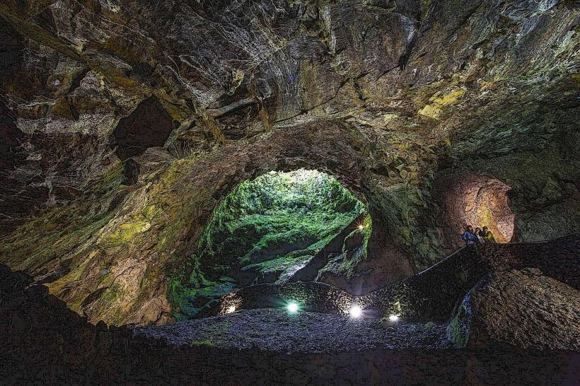
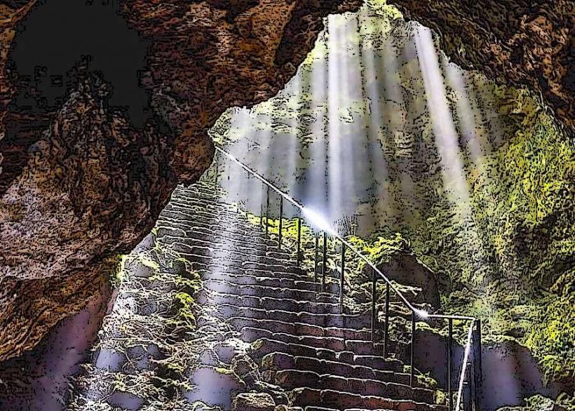
Gruta das Torres: 4.9km Southwest
Landscape of the Pico Island Vineyard Culture: 4.5km West
Madalena Harbor: 11.5km West