Information
Landmark: Mývatn Nature ReserveCity: Akureyri
Country: Iceland
Continent: Europe
Mývatn Nature Reserve, Akureyri, Iceland, Europe
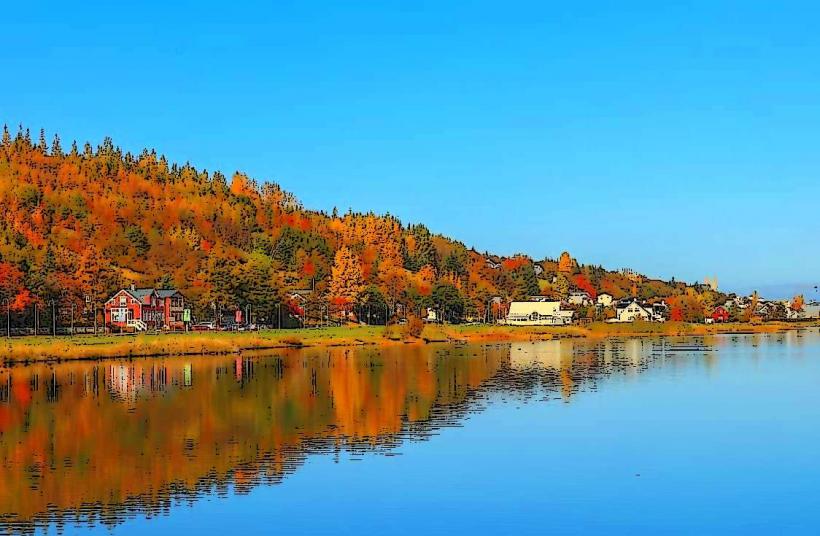
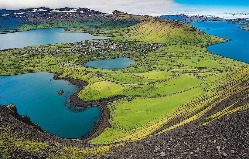
Mývatn Nature Reserve is a protected area centered around a shallow lake in northern Iceland. It is located approximately 90 kilometers east of Akureyri.
Visual Characteristics
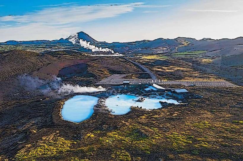
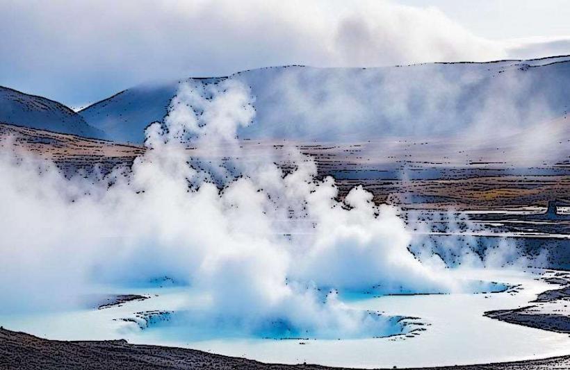
The landscape features a large, shallow lake (Mývatn) with numerous small islands and pseudocraters. Surrounding areas include dark lava pillars, geothermal vents emitting steam, and barren volcanic plains. Vegetation consists primarily of moss, sedges, and dwarf shrubs, with some areas of birch scrub. The lake water is typically clear, reflecting the sky, while some geothermal pools exhibit milky blue or green hues.
Location & Access Logistics
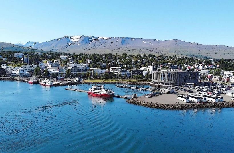
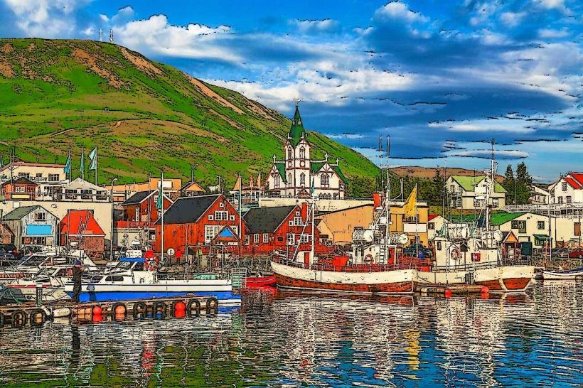
The reserve is accessed via Route 1 (Ring Road). From Akureyri, drive east on Route 1 for approximately 90 kilometers. The main visitor areas are concentrated around the lake. Parking is available at designated sites such as Skútustaðagígar, Dimmuborgir, and Grjótagjá, typically free of charge. Public transport is limited; some tour operators offer bus services from Akureyri, but no regular municipal bus lines serve the immediate reserve area.
Historical & Ecological Origin
Mývatn is a geologically active area formed by volcanic eruptions over the past 10,000 years, primarily during the Laxá-Mývatn Fires approximately 2,300 years ago. The lake itself was formed by a large basaltic lava flow that dammed a river. The pseudocraters at Skútustaðagígar are a unique geological formation resulting from steam explosions when molten lava flowed over wetlands. The area is classified as a Ramsar site due to its ecological importance, particularly for waterfowl.
Key Highlights & Activities
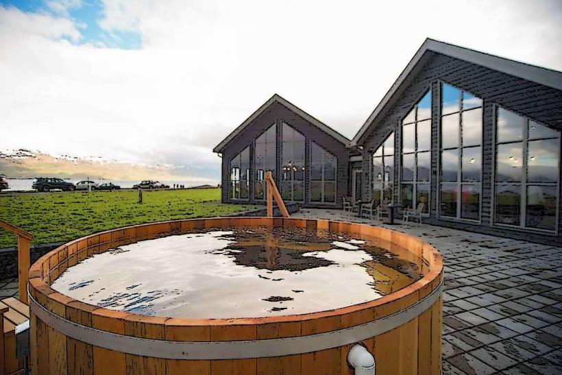
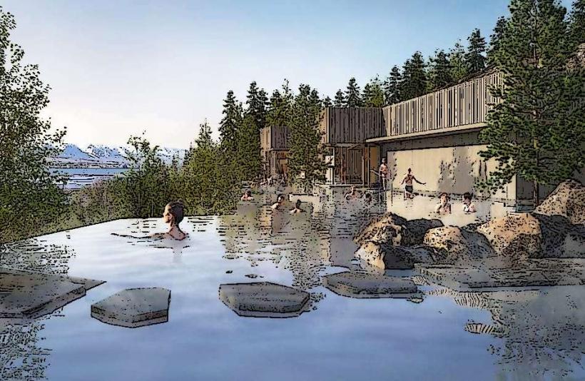
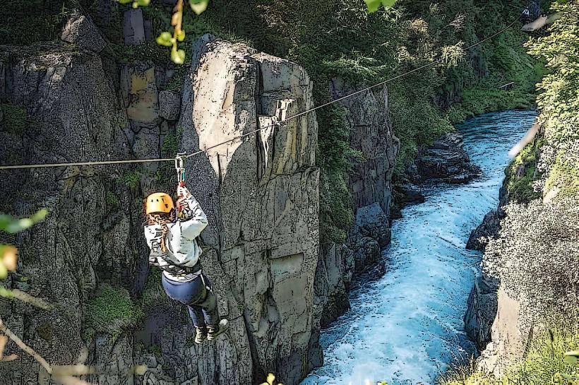
Hiking trails are maintained around the lake and through lava fields, including paths at Dimmuborgir and Höfði. Birdwatching is prominent, especially during summer, with numerous duck species present. Bathing is possible at the Mývatn Nature Baths. Exploring the geothermal area of Námafjall Hverir involves walking on marked paths near fumaroles and mud pots. Cycling routes are available around the lake perimeter.
Infrastructure & Amenities
Restrooms are available at key visitor sites such as the Mývatn Nature Baths, Dimmuborgir, and the Mývatn Information Centre. Limited natural shade is present due to the sparse vegetation; some visitor centers offer indoor shelter. Cell phone signal (4G/5G) is generally reliable in populated areas around the lake but can be intermittent in more remote sections. Several guesthouses and a few small restaurants/cafes are located in the villages of Reykjahlíð and Skútustaðir, offering food and beverages.
Best Time to Visit
The best months for weather are June through August, offering milder temperatures and extended daylight. For photography, early morning or late evening light provides softer illumination of the volcanic landscapes and lake. Winter visits (October-April) offer opportunities for northern lights viewing, but access to some areas may be restricted by snow. There are no specific high/low tide requirements as it is an inland lake.
Facts & Legends
Local folklore suggests that Dimmuborgir, a field of dark lava formations, is the gateway to hell or the home of the Icelandic Yule Lads and their troll mother, Grýla. A verified historical oddity is the unique midge population (Mývatn means "Midge Lake"), which, despite its nuisance, is crucial to the ecosystem, providing food for the abundant birdlife. A specific tip for visitors is to bring insect repellent, especially during summer, due to these midges.
Nearby Landmarks
- Goðafoss Waterfall: 50km West
- Krafla Viti Crater: 10km East
- Grjótagjá Cave: 2km South
- Dettifoss Waterfall: 60km East