Information
Landmark: Piz NairCity: Saint Moritz
Country: Switzerland
Continent: Europe
Piz Nair, Saint Moritz, Switzerland, Europe
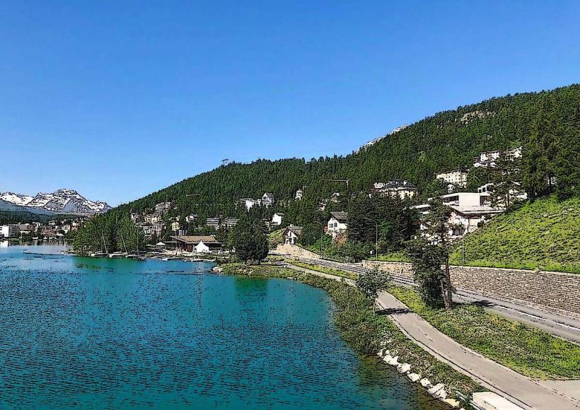
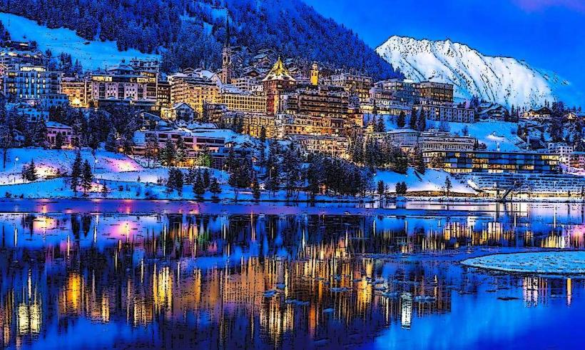
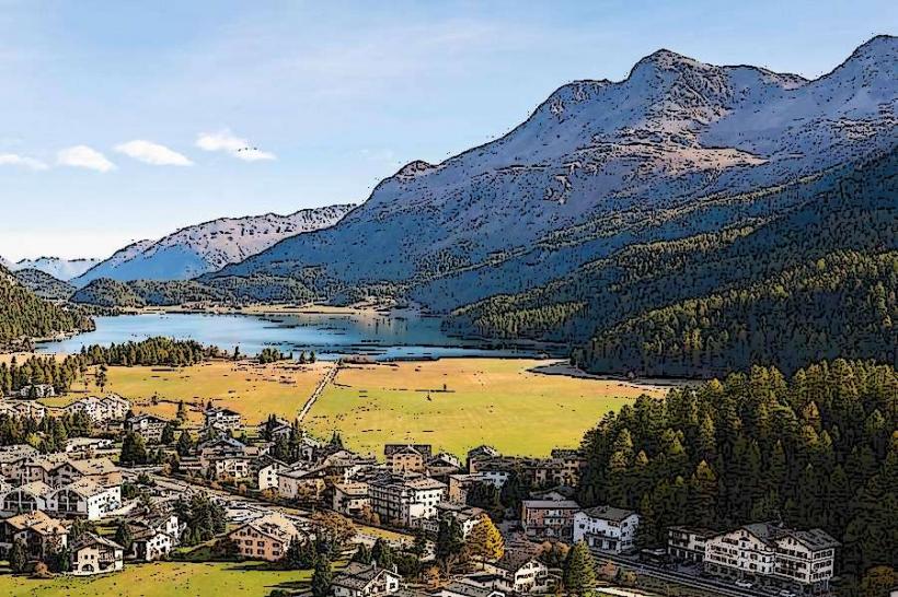
Piz Nair is a 3,057-meter mountain peak in the Albula Alps, situated directly above the resort town of St. Moritz. It serves as the primary high-altitude viewpoint and starting point for the Corviglia ski area.
Visual Characteristics
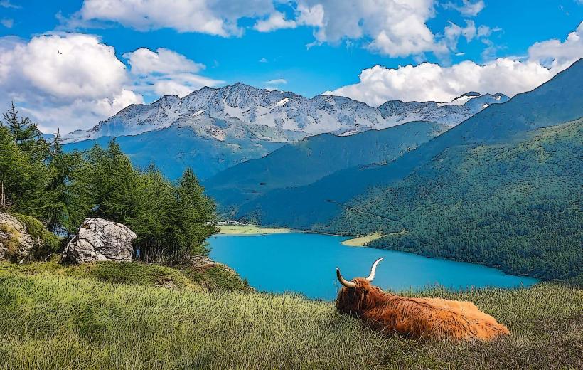
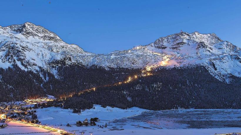
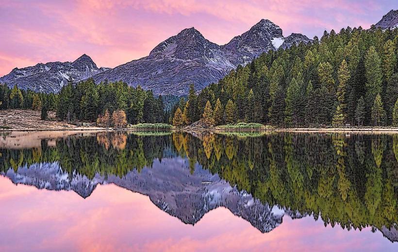
The summit is characterized by steep, rugged limestone and schist formations. The peak features a prominent bronze sculpture of an ibex at the viewing platform. The panoramic view encompasses the Bernina Massif to the south, the Upper Engadine lake plateau (Lake Sils, Silvaplana, and St. Moritz) to the southwest, and the jagged peaks of the Italian Alps in the distance. The terrain is starkly alpine, with minimal vegetation and frequent snow patches through mid-summer.
Location & Access Logistics
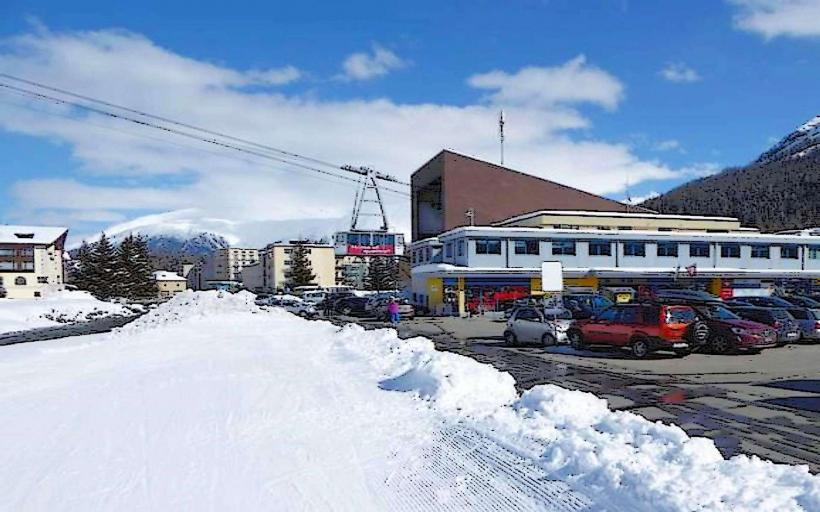
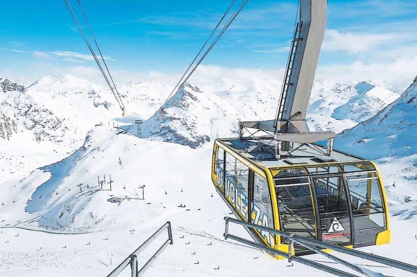
Access is via a multi-stage mountain transport system from St. Moritz Dorf.
Stage 1: Chantarella Funicular from St. Moritz Dorf to Chantarella.
Stage 2: Corviglia Funicular from Chantarella to the Corviglia hub (2,486m).
Stage 3: Piz Nair Aerial Cableway from Corviglia to the summit (3,057m).
Total Transit Time: Approximately 20–25 minutes.
Hiking: A steep, demanding trail leads from Corviglia to the summit in about 1.5 to 2 hours.
Winter: Fully integrated into the Engadin St. Moritz ski region.
Historical & Ecological Origin
Piz Nair gained global prominence as a venue for the 1948 Winter Olympics and has since hosted multiple FIS Alpine World Ski Championships. Geologically, it is part of the Austroalpine nappes, consisting primarily of sedimentary rock thrust over older crystalline layers. Despite the high altitude, the summit area supports specialized flora like the glacier buttercup and is a habitat for alpine choughs.
Key Highlights & Activities
Sunrise Sessions: Scheduled cableway ascents during summer and winter to view the sunrise over the Bernina range, often including breakfast at the summit restaurant.
Mountain Biking: Starting point for several world-class flow trails, including the "Olympia Flow Trail" descending toward Corviglia.
Skiing: The peak marks the start of the men's downhill course from the 2003 and 2017 World Championships, featuring a 100% (45-degree) gradient at the "Free Fall" start.
Hiking: The "High Alpine Trail" leads toward the Fuorcla Schlattain and the Val Suvretta.
Infrastructure & Amenities
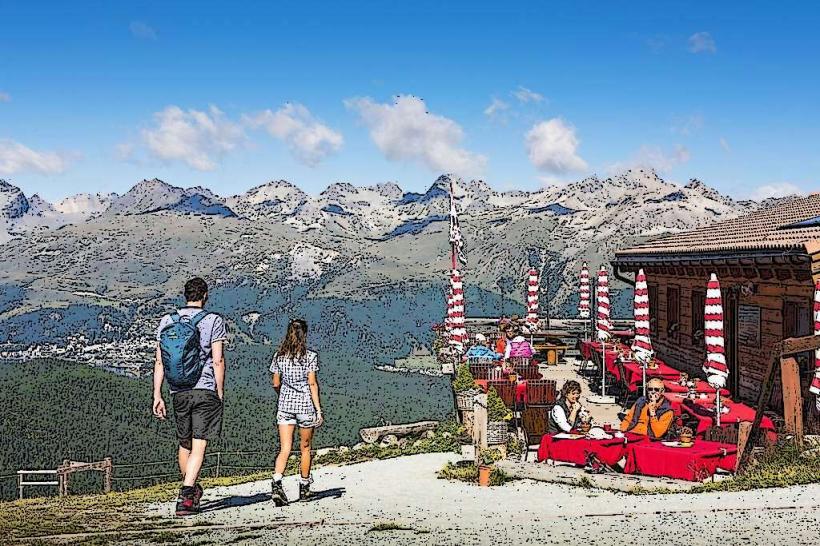
The summit station houses the Piz Nair Panorama Restaurant, offering 360-degree views, indoor and terrace seating, and public restrooms. 5G cellular coverage is maintained at the peak. While the cableway and station levels are wheelchair accessible, the surrounding rocky terrain and hiking trails are not.
Best Time to Visit
Winter (December–April): For skiing and high-altitude snow atmosphere.
Summer (July–August): For mountain biking and the clearest views of the lake plateau.
Time of Day: Early morning (before 10:00) provides the highest atmospheric clarity and avoids afternoon cloud buildup common in the Engadine.
Facts & Legends
The "Free Fall" ski start on Piz Nair is the steepest in the world for Alpine World Championships, where racers accelerate from 0 to 100 km/h in six seconds. A verified geographical fact: Piz Nair sits on the European watershed; water falling on one side flows via the Inn and Danube to the Black Sea, while the other side drains toward the Adriatic.
Nearby Landmarks
Corviglia Hub – 1.0km Southeast (via cableway)
Lej Alv (High-altitude lake) – 1.5km East
Piz Julier – 2.5km West (Visual)
St. Moritz Dorf – 1,200m (Vertical distance below)
Fuorcla Surlej – 6.0km South (Visual)