Information
Landmark: Rupsha RiverfrontCity: Khulna
Country: Bangladesh
Continent: Asia
Rupsha Riverfront, Khulna, Bangladesh, Asia
The Rupsha Riverfront is a public promenade situated along the Rupsha River in Khulna, Bangladesh. It serves as a central point for local recreation and riverine activity.
Visual Characteristics
The riverfront features a paved walkway constructed from concrete. Along the promenade, metal railings are installed for safety. The river itself is characterized by its muddy brown water, typical of deltaic regions. Vegetation is sparse, primarily consisting of managed trees and shrubs planted for shade and aesthetics.
Location & Access Logistics
The Rupsha Riverfront is located approximately 2 kilometers east of the Khulna city center. Access is via Road No. 1 and Road No. 2, which connect to the main Khulna-Jessore Highway. Public transportation, including auto-rickshaws and local buses, frequently travels along these routes. Limited on-street parking is available, with capacity for approximately 30-40 vehicles. No dedicated public transport stops are directly at the riverfront, requiring a short walk from the main road.
Historical & Ecological Origin
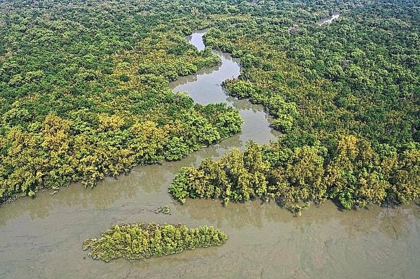
The Rupsha River is a distributary of the Ganges Delta, formed by natural fluvial processes over millennia. The riverfront development is a modern municipal project, initiated in the early 2000s, to create public space and manage riverbank erosion. Its original purpose was to provide a recreational area for residents and facilitate access to the river for local boat traffic.
Key Highlights & Activities
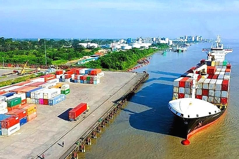
Visitors can walk or cycle along the paved promenade. Observation points are available for viewing river traffic, including cargo vessels and fishing boats. Local vendors sell snacks and beverages. Fishing from designated areas of the riverbank is permitted.
Infrastructure & Amenities
Restroom facilities are located at the southern end of the promenade. Several shaded seating areas are provided by trees and small shelters. Cell phone signal (4G) is generally strong throughout the area. A limited number of food vendors operate during daylight hours, offering local snacks.
Best Time to Visit
The best time of day for photography is during the late afternoon, approximately 4:00 PM to 6:00 PM, when the sun angle provides softer light. The most favorable months for visiting are from October to March, avoiding the monsoon season. High tide can increase the proximity to the water's edge, while low tide exposes more of the riverbed.
Facts & Legends
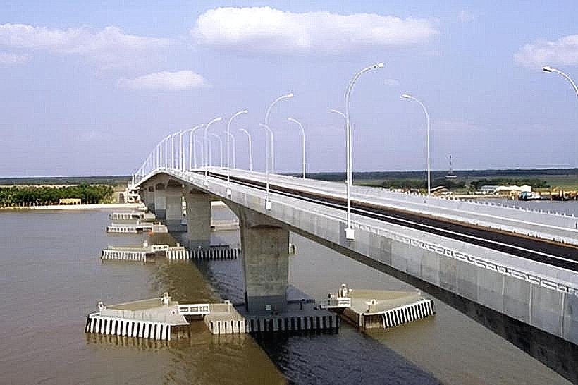
A local legend suggests that the Rupsha River was once a source of abundant freshwater fish, and its current brackish nature is attributed to a curse placed by a disgruntled hermit. A verified historical fact is that the Rupsha Bridge, a significant infrastructure project, was completed in 2002, improving connectivity and indirectly contributing to the riverfront's accessibility.
Nearby Landmarks
- Khulna University (1.5km West)
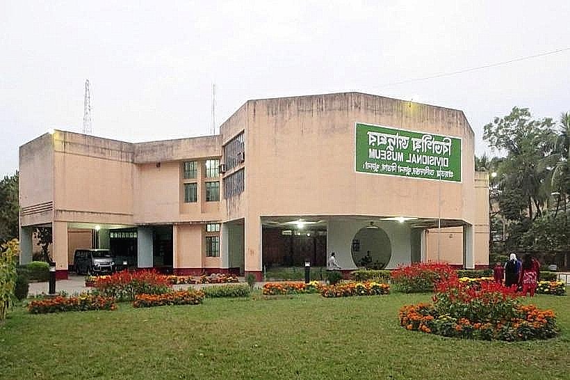
- Khulna Divisional Museum (2.0km West)
- Khan Jahan Ali Airport (10km Northeast)
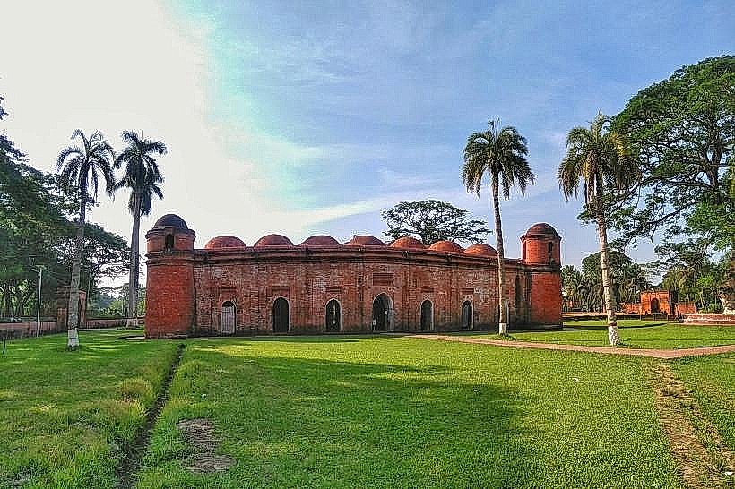
- Bagerhat (35km Southeast)