Information
Landmark: Tswapong HillsCity: Serowe
Country: Botswana
Continent: Africa
Tswapong Hills, Serowe, Botswana, Africa
The Tswapong Hills are a geological formation located in the Central District of Botswana, west of the town of Serowe.
Visual Characteristics
The Tswapong Hills are characterized by a series of weathered sandstone hills and escarpments. Vegetation is predominantly dry savanna, with acacia trees and sparse grasses. Rock formations include caves and overhangs. The hills rise approximately 100-200 meters above the surrounding plains.
Location & Access Logistics
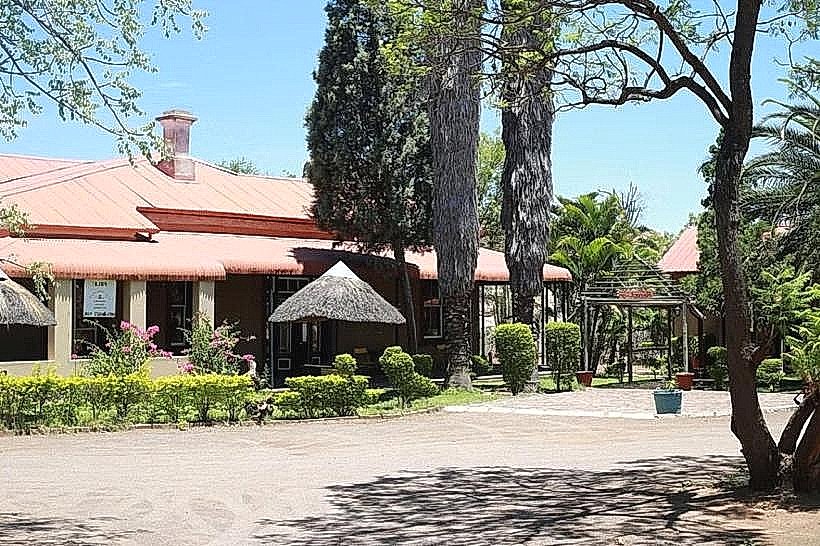
The Tswapong Hills are situated approximately 40 kilometers west of Serowe. Access is via the A14 road, turning off onto a gravel road (DR 301) towards the village of Moremi. From Moremi, local tracks lead into the hills. Parking is available at designated points near trailheads, with no formal parking lots. Public transport to Moremi is limited; bus services operate between Serowe and surrounding villages, requiring onward travel arrangements.
Historical & Ecological Origin
The Tswapong Hills are composed of Precambrian sedimentary rocks, primarily sandstone, formed over 500 million years ago. They represent an ancient erosional landscape. The area is ecologically classified as a dry savanna biome, supporting a range of flora and fauna adapted to arid conditions.
Key Highlights & Activities
Hiking is possible on established trails leading to viewpoints and rock formations. Exploration of caves, such as the Phuthadikgwa Cave, is a primary activity. Birdwatching is feasible throughout the year. Photography is recommended during early morning and late afternoon for optimal light conditions.
Infrastructure & Amenities
Restrooms are not available within the Tswapong Hills. Shade is provided by natural tree cover in some areas. Cell phone signal is intermittent and generally poor. No food vendors are present within the hills; provisions should be carried from Serowe or nearby villages.
Best Time to Visit
The best months for visiting are during the dry season, from May to October, when temperatures are moderate and rainfall is minimal. The early morning and late afternoon offer the best light for photography. There are no tidal considerations.
Facts & Legends
Local folklore associates the Tswapong Hills with spiritual significance, with certain caves believed to be sacred sites. A specific geological feature, the "Giant's Footprint," is a large, naturally formed depression in the rock, subject to various local interpretations.
Nearby Landmarks
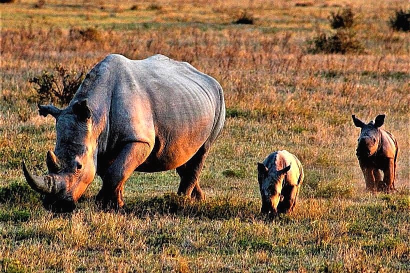
- Khama Rhino Sanctuary (15km Southeast)
- Orapa Diamond Mine (45km Northwest)
- Central Kalahari Game Reserve (Access points vary, approximately 70km West)
- Makgadikgadi Pans National Park (Access points vary, approximately 100km North)