Information
Landmark: Ulriken MountainCity: Bergen
Country: Norway
Continent: Europe
Ulriken Mountain, Bergen, Norway, Europe
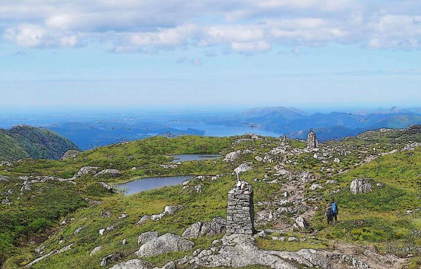
Ulriken Mountain is the highest of Bergen's seven mountains, situated immediately east of the city center in Bergen, Norway. It serves as a prominent recreational area offering panoramic views of the city, fjords, and surrounding islands.
Visual Characteristics
Ulriken Mountain reaches an elevation of 643 meters above sea level. Its upper slopes consist primarily of exposed grey rock formations, characteristic of the Precambrian gneiss and granite bedrock. Lower elevations feature a mix of heather, sparse coniferous trees, and various alpine flora. The summit plateau hosts the Ulriksbanen cable car station, a restaurant, and observation decks constructed from concrete and glass, providing a modern architectural contrast to the natural landscape.
Location & Access Logistics
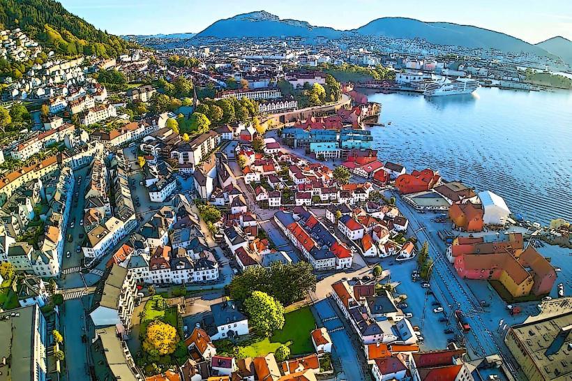
Ulriken Mountain is located approximately 5 kilometers east of Bergen city center. Access to the Ulriksbanen lower station is available via the dedicated Ulriken Express bus, which departs from Festplassen in the city center during peak season. Alternatively, local bus line #12 travels from Bergen city center towards Haukeland Hospital, with a stop near the lower cable car station, requiring a short walk. Limited parking is available at the lower Ulriksbanen station for private vehicles.
Historical & Ecological Origin
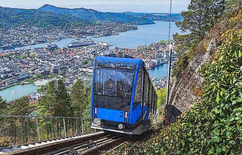
The Ulriksbanen cable car, providing primary access to the summit, first opened in 1959 and has undergone several modernizations since. Geologically, Ulriken is part of the Bergen Arc, a complex of metamorphic rocks primarily composed of Precambrian gneiss and granite, formed over millions of years and subsequently shaped by glacial erosion during the last ice age. The mountain's ecosystem is characterized by subalpine vegetation adapted to exposed conditions.
Key Highlights & Activities
Riding the Ulriksbanen cable car to the summit is a primary activity. From the summit, visitors can embark on the Vidden Trail, a marked hiking route connecting Ulriken to Fløyen. A zipline operates seasonally from the summit. The summit also serves as a launch point for paragliding. Guided tours are not regularly scheduled but private arrangements can be made.
Infrastructure & Amenities
Restrooms are available at both the lower Ulriksbanen station and the summit facility. Shade at the summit is limited to the restaurant and observation deck structures. Cell phone signal, including 4G and 5G, is generally strong at the summit and along major trails. The Skyskraperen Restaurant and a cafe are located at the summit, offering food and beverages.
Best Time to Visit
The months of May through September offer the most favorable weather conditions for visiting Ulriken, with milder temperatures and reduced precipitation. For photography, early morning or late afternoon provides optimal lighting for capturing cityscapes and the surrounding landscape, minimizing harsh shadows and glare. High or low tide conditions do not impact mountain access or activities.
Facts & Legends
Ulriken is one of the seven mountains surrounding Bergen, and its summit is a key point in the annual 7-fjellsturen (Seven Mountains Hike), a challenging endurance event popular among locals. A specific tip for visitors is to check the Ulriksbanen operating schedule and weather forecast before planning a trip, as operations can be affected by strong winds.
Nearby Landmarks
- Haukeland University Hospital: 1.5km West
- Store Lungegårdsvannet (Lake): 3km West
- Nygårdsparken: 3.5km West
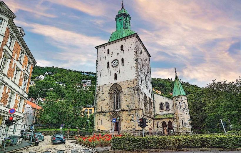
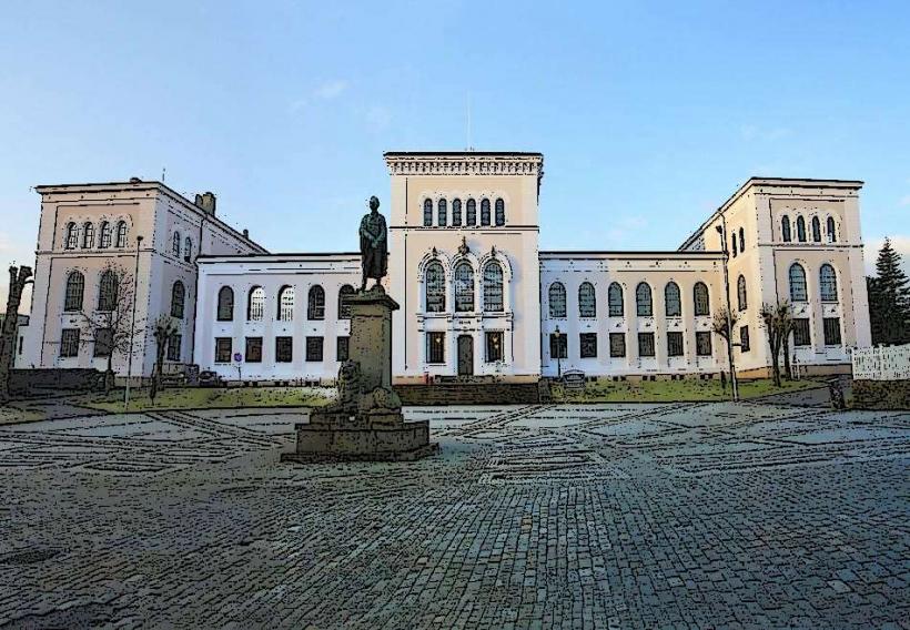
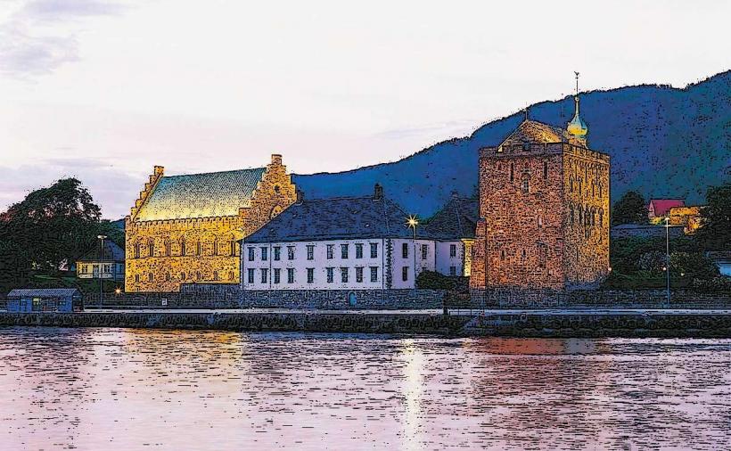
- Bergen City Center: 5km West
- Fløyen (via Vidden trail): Approximately 10km hiking distance Northwest