Information
Landmark: Ura ValleyCity: Bumthang
Country: Bhutan
Continent: Asia
Ura Valley, Bumthang, Bhutan, Asia
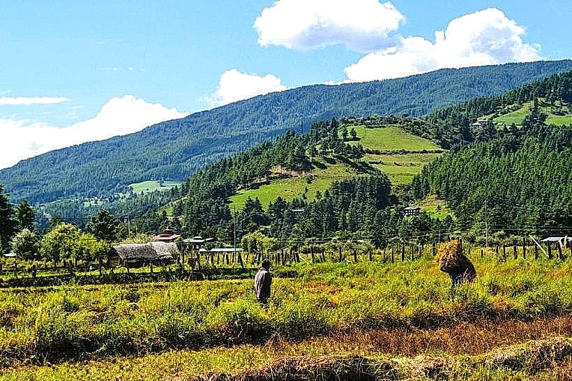
The Ura Valley is a geographical depression situated in the Bumthang District of Bhutan. It is characterized by its agricultural landscape and traditional Bhutanese settlements.
Visual Characteristics
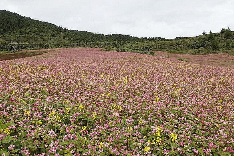
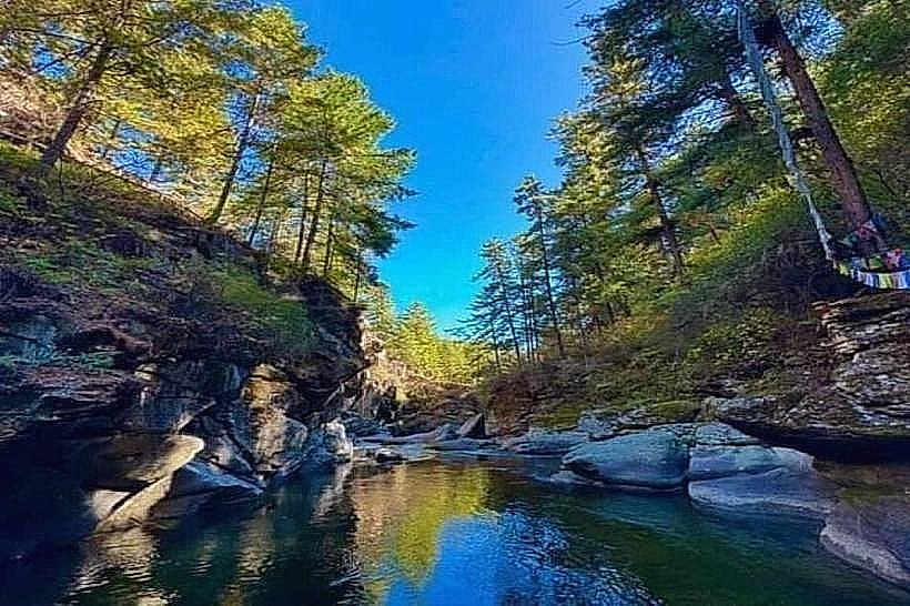
The valley floor is primarily composed of cultivated fields, predominantly rice paddies and potato farms, interspersed with scattered stone and timber farmhouses. The surrounding slopes are covered with mixed coniferous and deciduous forests. The valley floor is at an elevation of approximately 3,100 meters (10,170 feet). The Ura River, a tributary of the Chamkhar River, flows through the valley, its water color varying with sediment load but generally appearing silty brown during the monsoon season.
Location & Access Logistics
The Ura Valley is located in the eastern part of Bumthang District. Access is via the East-West Highway (National Highway 2) for approximately 50 kilometers from the town of Jakar. The road is paved but can be narrow and winding. There is a designated parking area near the Ura village center. Public transport is limited; shared taxis or private car hire from Jakar are the primary options. Bus services are infrequent and may not directly serve the valley floor.
Historical & Ecological Origin
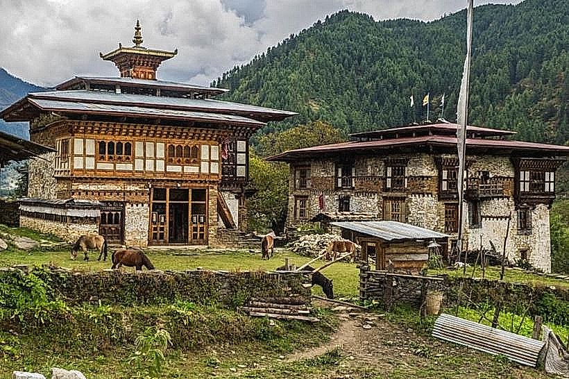
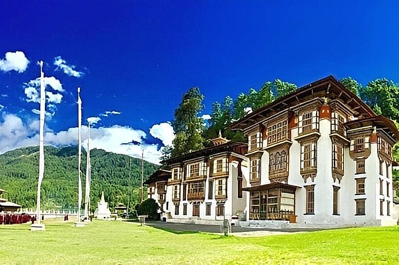
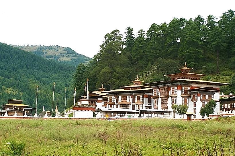
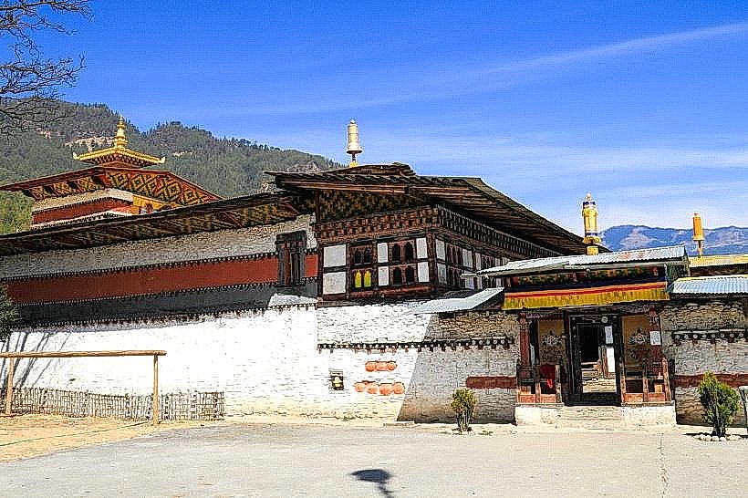
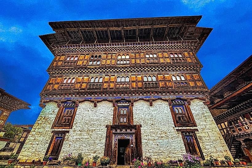
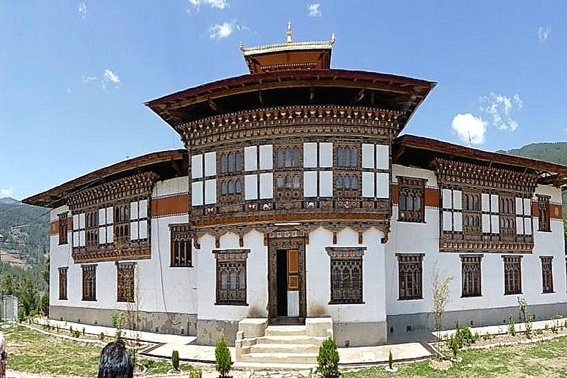
The Ura Valley's origin is primarily geological, formed by glacial erosion and subsequent fluvial deposition over millennia. Ecologically, it represents a high-altitude agricultural valley ecosystem. Historically, the valley has been inhabited for centuries, with the Ura Lhakhang temple dating back to the 14th century, though the current structure is a reconstruction. The valley's development has been shaped by traditional Bhutanese farming practices and its remote location.
Key Highlights & Activities
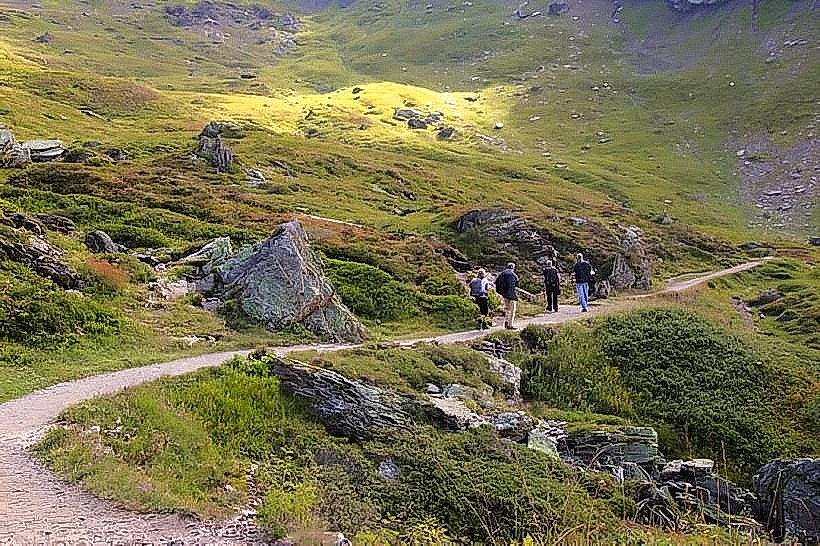
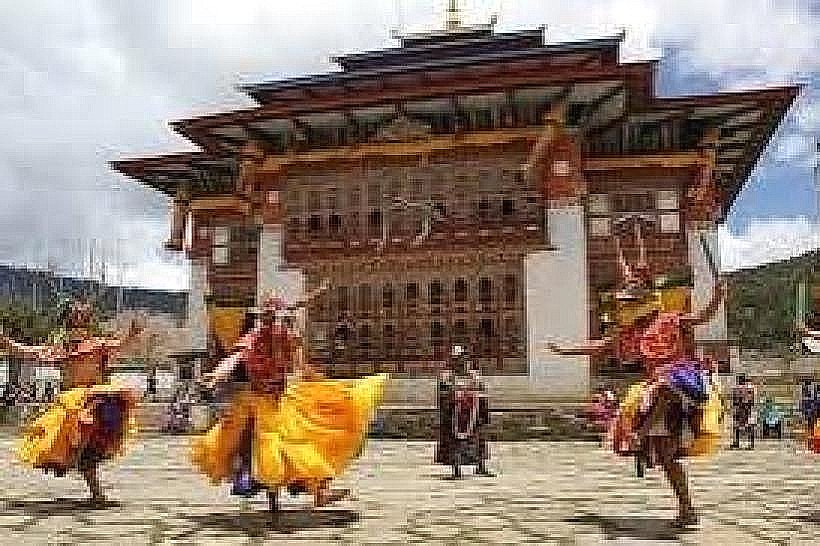
Hiking through the agricultural fields and surrounding forest trails is a primary activity. Visiting the Ura Lhakhang temple and observing local farming practices are also key points of interest. The valley is known for its annual Ura Festival, typically held in May, which involves religious ceremonies and traditional masked dances.
Infrastructure & Amenities
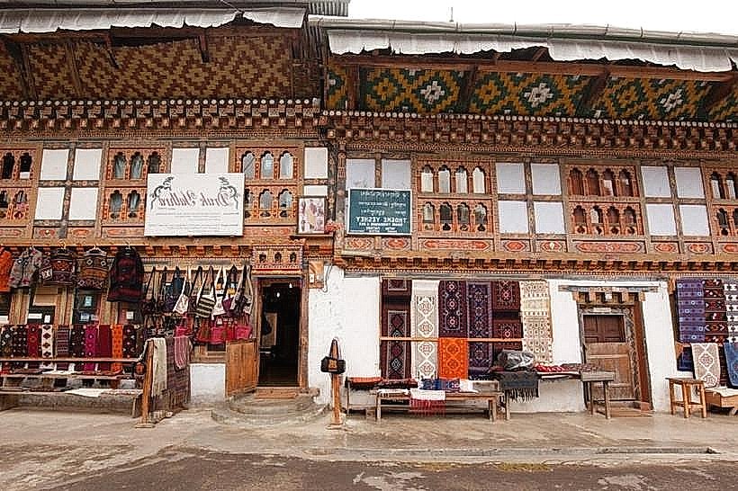
Basic amenities are available in Ura village, including small shops selling local produce and handicrafts. There are a few guesthouses and homestays. Restrooms are generally available at guesthouses and the temple complex. Shade is provided by trees in forested areas and by farmhouses. Cell phone signal (4G) is intermittent and can be unreliable, especially in more remote parts of the valley.
Best Time to Visit
The best months for visiting are March to May and September to November, offering clear skies and moderate temperatures. For photography, early morning and late afternoon provide optimal lighting conditions on the fields and village structures. The valley is accessible year-round, but winter months (December-February) can experience snow, potentially impacting road conditions.
Facts & Legends
A local legend states that the valley was once inhabited by demons who were subdued by Guru Rinpoche. The Ura people are also known for their distinct dialect and cultural practices, which differ slightly from other regions of Bhutan. A specific tip for visitors is to engage with local farmers to understand their agricultural methods, particularly the cultivation of buckwheat and potatoes.
Nearby Landmarks
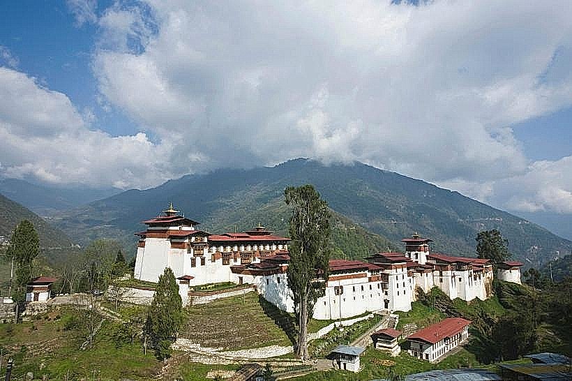
- Jakar Dzong (35km West)
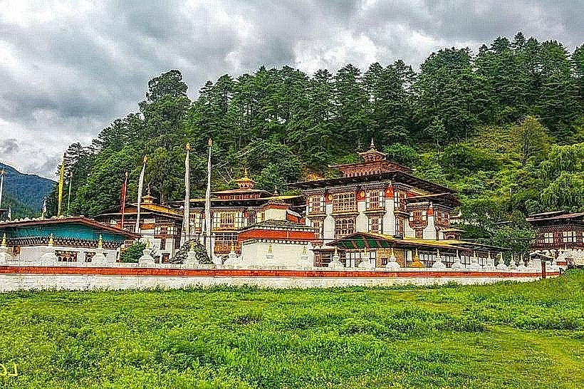
- Kurjey Lhakhang (38km West)
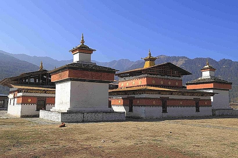
- Tamshing Lhakhang (39km West)
- Membartsho (Burning Lake) (42km West)