Information
Landmark: Virginia Creeper TrailCity: Wytheville
Country: USA Virginia
Continent: North America
Virginia Creeper Trail, Wytheville, USA Virginia, North America
The Virginia Creeper Trail is one of the most celebrated multi-use recreational trails in the Appalachian region, stretching approximately 34.3 miles through the scenic landscapes of southwestern Virginia. It runs from Abingdon to Whitetop, weaving through the counties of Washington, Smyth, and Grayson. The trail is renowned for its rich history, breathtaking natural beauty, and accessibility for a variety of outdoor activities, making it a year-round destination for cyclists, hikers, horseback riders, and nature lovers.
Historical Background
The trail traces the former route of the Virginia-Carolina Railway, commonly known as the Virginia Creeper Railroad. This railroad began operations in the early 1900s, primarily serving as a transportation route for timber, minerals, and passengers. The nickname "Virginia Creeper" arose from the slow, arduous pace of the steam locomotives as they labored to ascend the steep grades of the mountainous terrain. The railroad ceased operations in 1977, and by the mid-1980s, the corridor was converted into a rail-trail, officially opening as a recreational trail in 1984. In recognition of its significance, it was designated a National Recreation Trail and later inducted into the Rail-Trail Hall of Fame in 2014.
Trail Route and Terrain
The Virginia Creeper Trail follows a relatively gentle grade, descending about 3,000 feet from its highest elevation at Whitetop Mountain (approximately 3,970 feet) to Abingdon (around 1,900 feet). This gradual slope makes it especially popular among cyclists who prefer a predominantly downhill ride. The trail crosses a mixture of rural farmland, rolling hills, river valleys, and forested mountain landscapes, providing a diverse and picturesque setting.
The trail can be divided into two main sections:
Whitetop to Damascus (approximately 17 miles): This segment starts at Whitetop Station, situated near Mount Rogers, the highest peak in Virginia. It features dense Appalachian hardwood forests, scenic mountain creeks, and historic wooden trestles crossing deep ravines. This section is more challenging, with uphill climbs if traveling northbound but is often experienced as a downhill ride for those shuttling from Whitetop to Damascus. Whitetop Station offers a rustic trailhead with restrooms and parking.
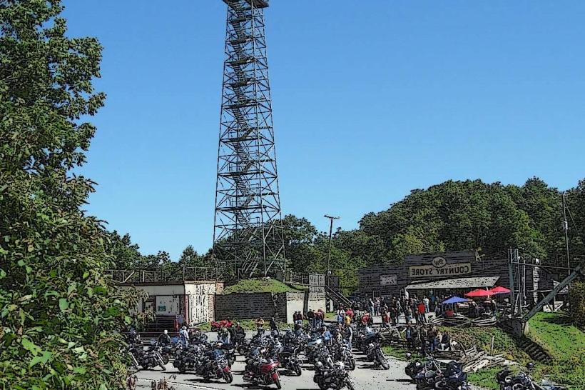
Damascus to Abingdon (approximately 17 miles): The southern half of the trail traverses gentler terrain, rolling farmland, meadows, and small communities. It passes through Damascus, a vibrant town known as "Trail Town USA," which serves as a major hub for trail users. This portion is well suited for families and less experienced cyclists, with easy access points and services. Abingdon, at the southern terminus, hosts the trail’s main welcome center with historical exhibits and amenities.
Recreational Uses
The Virginia Creeper Trail is truly multi-use, accommodating:
Cycling: It is world-famous for cycling, especially the popular one-way downhill ride from Whitetop to Abingdon, which can be organized via shuttle services. Bike rentals and shuttle operators in Abingdon and Damascus facilitate this experience, making it accessible for visitors without their own equipment.
Hiking and Trail Running: The trail’s scenic views, varied terrain, and quiet woodland stretches attract hikers and runners seeking a safe, well-maintained natural corridor.
Horseback Riding: Equestrians often use the trail, especially the section between Whitetop and Damascus, enjoying the forested environment and stream crossings.
Wildlife Watching and Nature Observation: The trail passes through rich habitats supporting deer, wild turkey, various songbirds, and even black bears in remote areas. Spring and summer bring wildflowers, rhododendrons, and mountain laurel in bloom, while fall transforms the landscape with spectacular foliage colors.
Fishing: Anglers find access to trout streams such as Whitetop Laurel Creek near the trail, offering peaceful fishing spots.
Facilities and Amenities
Multiple trailheads and rest stops along the route provide key amenities:
Restrooms and Drinking Water: Available at Whitetop Station, Damascus, Green Cove Station, Creek Junction, Alvarado Station, Watauga Crossing, and the Abingdon Trailhead.
Parking: Ample parking is available at main access points for day users.
Visitor Center: The Virginia Creeper Trail Welcome Center in Abingdon serves as an educational hub, featuring interpretive exhibits, a restored steam locomotive ("Old Mollie"), and a photographic gallery by O. Winston Link, a renowned railroad photographer who documented the Virginia Creeper Railroad.
Bike Rentals and Shuttles: Numerous outfitters provide bike rentals, shuttle services, and guided tours, facilitating one-way rides and ensuring visitors can conveniently return to their vehicles.
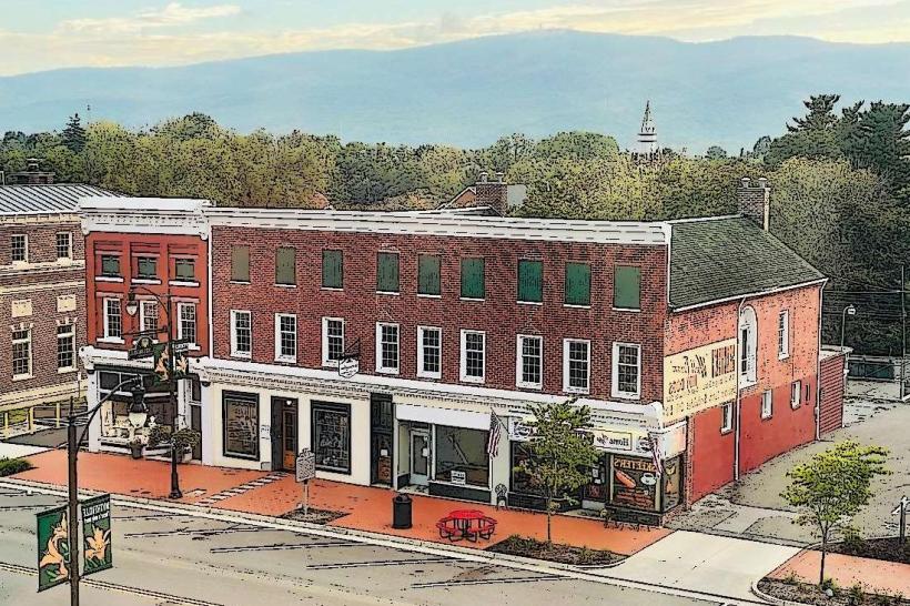
Nearby Towns: Damascus and Abingdon both offer accommodations, restaurants, and shops catering to visitors, with Damascus particularly known for its outdoor recreation culture.
Seasonal Experience
The trail provides changing beauty and activities across seasons:
Spring: Wildflowers, including trillium and violets, carpet the forest floor. The rhododendrons and mountain laurel begin to bloom, adding bursts of color.
Summer: Shaded by dense canopy, the trail offers relief from summer heat. Nearby creeks provide swimming and cooling spots. Wildlife is abundant.
Fall: Peak foliage typically occurs in mid-October, transforming the landscape into vivid hues of red, gold, and orange, drawing photographers and leaf-peepers.
Winter: The trail is quieter and open to cross-country skiing and snowshoeing when snow permits. The open vistas offer unobstructed views of the surrounding mountains.
Safety and Trail Etiquette
The Virginia Creeper Trail promotes safe and respectful use through clear guidelines:
All dogs must be leashed, with owners responsible for cleaning up waste.
Cyclists yield to pedestrians and horseback riders; maintain controlled speeds, especially on downhill stretches.
Users should stay on the designated trail, respecting private property adjacent to the corridor.
Littering is prohibited; visitors must pack out trash and preserve the natural environment.
Recent Challenges and Restoration
In September 2024, Hurricane Helene severely impacted the trail, washing out 18 trestles and damaging approximately 17 miles between Damascus and Whitetop. This unprecedented destruction resulted in the closure of the affected section pending repairs. Significant federal funds have been allocated for restoration, but a reopening timeline has not yet been established. The southern half of the trail, from Damascus to Abingdon, remains fully operational and continues to welcome visitors.
Cultural and Economic Impact
The Virginia Creeper Trail is more than a recreational corridor; it is a critical economic driver for the region. The trail attracts thousands of visitors annually, supporting local businesses such as bike rental shops, shuttle services, restaurants, lodging, and outdoor outfitters. Towns like Damascus have embraced the trail’s identity, branding themselves as trail-friendly communities with a strong commitment to outdoor recreation and sustainable tourism.
In conclusion, the Virginia Creeper Trail offers an exceptional outdoor experience that combines natural splendor, historical depth, and a broad range of activities suitable for all ages and skill levels. Its gentle grades, stunning vistas, and welcoming communities make it one of the premier rail-trails in the United States, celebrated for both its recreational appeal and its cultural significance to southwestern Virginia.