Information
Landmark: Yeti TrailCity: Trashigang
Country: Bhutan
Continent: Asia
Yeti Trail, Trashigang, Bhutan, Asia
The Yeti Trail is a trekking route located in the Trashigang District of Bhutan. It is a multi-day hiking path through mountainous terrain.
Visual Characteristics
The trail traverses elevations ranging from approximately 1,500 meters to over 4,000 meters. It passes through dense rhododendron forests, alpine meadows, and rocky scree slopes. Views include snow-capped peaks and deep valleys. The terrain is characterized by steep ascents and descents, with sections of uneven ground and loose rock.
Location & Access Logistics
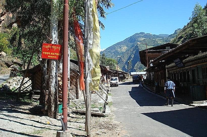
The primary trailhead is accessible from the village of Merak, which is approximately 80 kilometers by road from Trashigang town. The road to Merak is a paved but winding mountain highway (NH31). Private vehicles or hired taxis are the most common means of transport to Merak. Public bus services do not directly reach Merak. Parking is available in Merak village, typically in designated open areas. From Merak, the trail is accessed on foot.
Historical & Ecological Origin
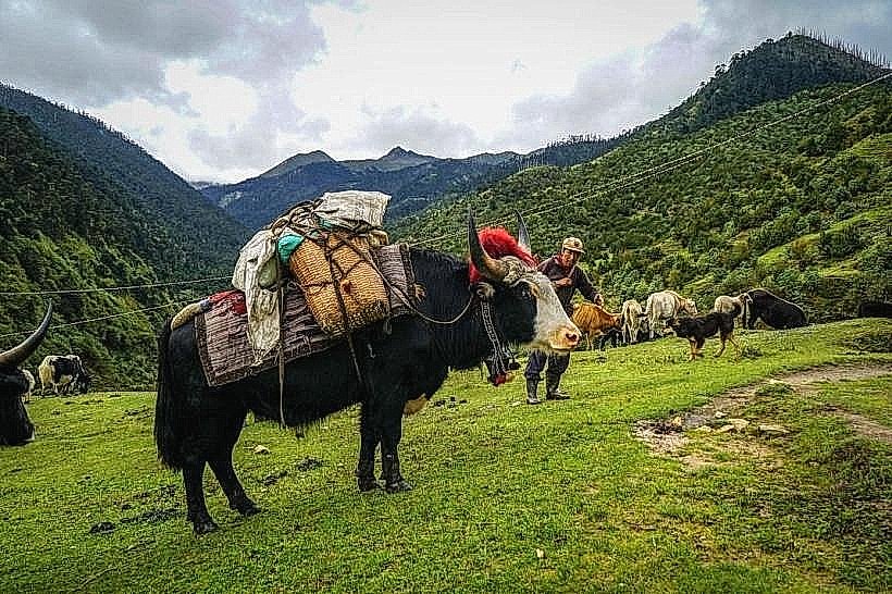
The Yeti Trail follows ancient yak herding routes used by local communities for centuries. Ecologically, the region is part of the Eastern Himalayan broadleaf forest and alpine shrubland ecoregions, supporting diverse flora and fauna including blue sheep, takin, and various bird species. The name "Yeti Trail" is derived from local folklore and the belief in the existence of the mythical Yeti in these remote areas.
Key Highlights & Activities
Trekking is the primary activity. Specific sections include the ascent to the Jomphu La pass (approximately 4,000 meters), exploration of glacial lakes, and observation of local flora and fauna. Overnight camping is required at designated sites along the route. Photography opportunities are present throughout the trek.
Infrastructure & Amenities
Basic facilities are limited. Restrooms are generally not available on the trail itself, with facilities only found in Merak village. Shade is provided by forest cover in lower sections, but open alpine areas offer little to no shade. Cell phone signal is intermittent and often unavailable on most parts of the trail. Food vendors are not present on the trail; trekkers must carry all provisions. Basic guesthouses are available in Merak village.
Best Time to Visit
The optimal trekking season is from March to May and September to November. These periods offer clearer skies and moderate temperatures. Daytime temperatures can range from 5°C to 20°C depending on elevation. Nighttime temperatures can drop below freezing. Avoid the monsoon season (June to August) due to heavy rainfall and potential landslides.
Facts & Legends
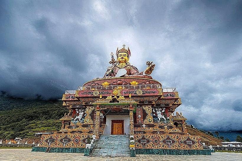
Local legend suggests that sightings of the Yeti are more common during the early morning hours when mist is prevalent in the valleys. A specific point of interest is the "Singye Dzong" (Lion Fortress) ruins, a remote hermitage believed to have been visited by Guru Rinpoche, though its exact location is subject to interpretation and often requires local guidance to find.
Nearby Landmarks
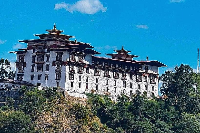
- Trashigang Dzong (Fortress) - 80km Southwest
- Khaling Tea Estate - 70km Southwest
- Rangjung Monastery - 75km Southwest
- Gomphu Kora - 78km Southwest