Information
Landmark: Calderón Hondo VolcanoCity: Fuerteventura
Country: Canary Islands
Continent: Europe
Calderón Hondo Volcano, Fuerteventura, Canary Islands, Europe
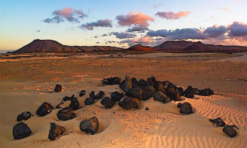
The Calderón Hondo Volcano is an extinct volcanic cone situated in the northern region of Fuerteventura, one of Spain's Canary Islands. It is a prominent geological feature known for its well-preserved crater.
Visual Characteristics
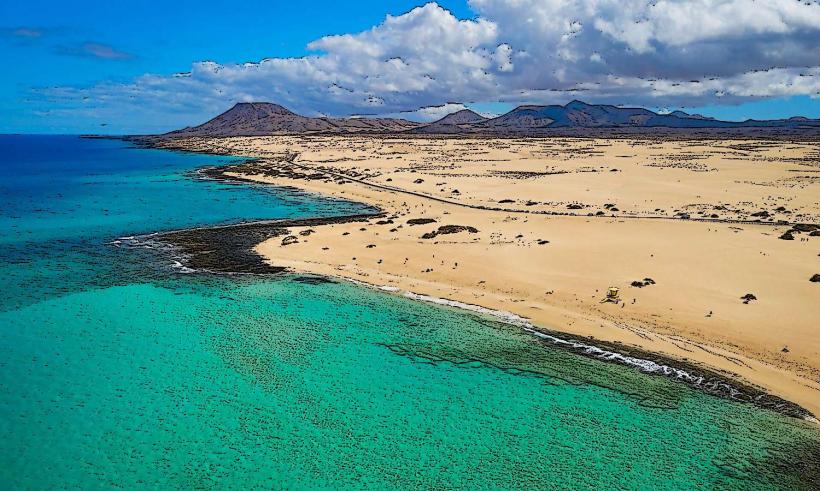
The volcano features a conical shape composed primarily of dark volcanic rock, ranging in color from reddish-brown to black. Its summit reaches an elevation of approximately 278 meters above sea level. The most distinctive feature is its circular crater, which is deep and largely intact, displaying various shades of volcanic ash and rock within its bowl. Sparse, low-lying scrub vegetation covers parts of its slopes.Location & Access Logistics
Calderón Hondo is located approximately 3 kilometers northeast of the village of Lajares. Access is typically via a well-maintained dirt track that branches off the FV-10 road, which connects Lajares to El Cotillo. A designated parking area is available at the base of the volcano. From the parking area, a marked hiking trail leads directly to the crater rim. Public transport options are limited; a rental car or taxi from nearby towns like Corralejo (approximately 15 km northeast) or Lajares is recommended.Historical & Ecological Origin
Calderón Hondo is an extinct stratovolcano, part of the older volcanic formations of Fuerteventura. Its formation dates back several million years, during the Pliocene epoch, as a result of effusive and explosive volcanic activity that shaped the island's northern landscape. It is now a dormant geological structure, with no recorded historical eruptions.Key Highlights & Activities
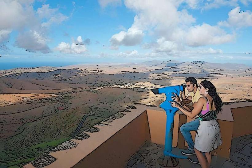
Hiking to the crater rim is the primary activity, offering panoramic views of the northern Fuerteventura landscape, including the coastline and other volcanoes. Visitors can walk around a portion of the crater's circumference. Observing the resident population of Barbary ground squirrels (Atlantoxerus getulus) near the summit is also a common highlight.Infrastructure & Amenities
There are no restrooms, shade structures, or food vendors directly at the volcano site. Cell phone signal (4G/5G) is generally available at the summit and along the trail. Visitors should carry their own water and sun protection. The nearest facilities, including restaurants and shops, are located in Lajares.Best Time to Visit
The best time to visit is during the cooler months, from October to May, to avoid the intense summer heat. Early morning or late afternoon are ideal for hiking, providing more comfortable temperatures and optimal lighting for photography, particularly for capturing the long shadows and colors of the volcanic landscape.Facts & Legends
The crater of Calderón Hondo is considered one of the best-preserved volcanic craters on Fuerteventura, offering a clear geological cross-section. A specific tip for visitors is to bring small, unsalted nuts for the ground squirrels, which are accustomed to human interaction and will often approach hikers.Nearby Landmarks
- Lajares village: 3km Southwest
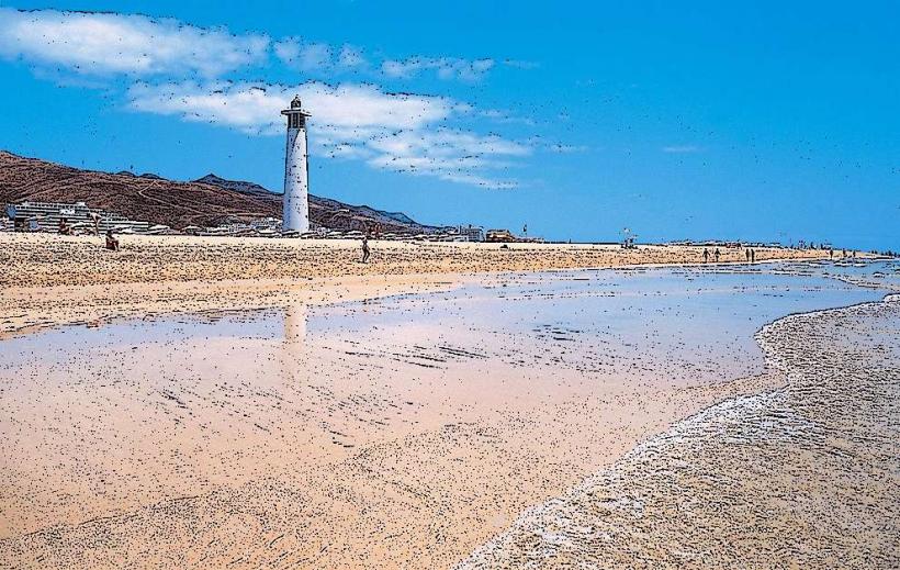
- El Cotillo beaches: 8km West
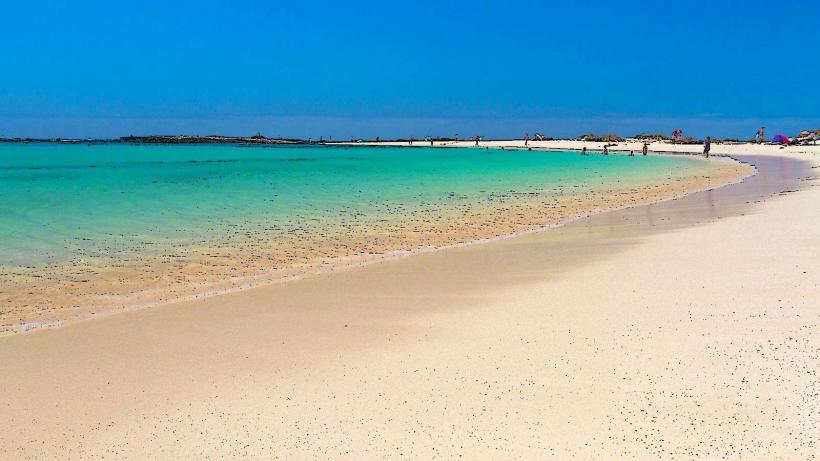
- Popcorn Beach (Playa del Bajo de la Burra): 10km Northeast
- Montana de Ecanfraga volcano: 4km South