Information
Landmark: Parque Natural de las Dunas de CorralejoCity: Fuerteventura
Country: Canary Islands
Continent: Europe
Parque Natural de las Dunas de Corralejo, Fuerteventura, Canary Islands, Europe
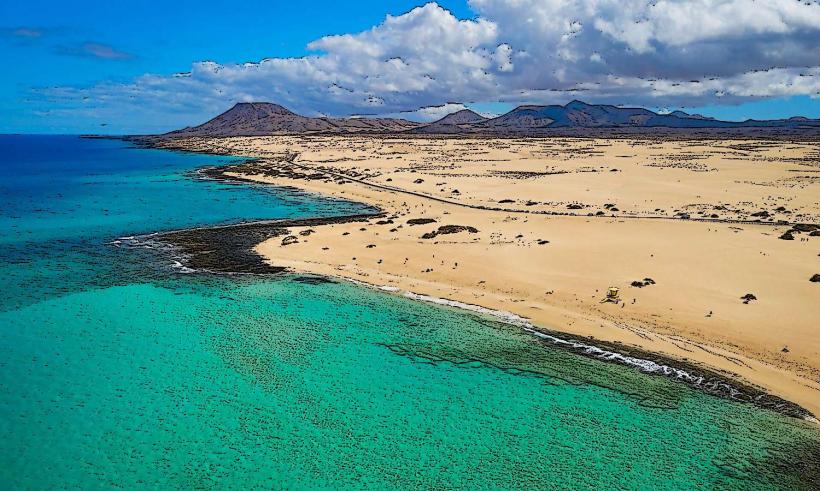
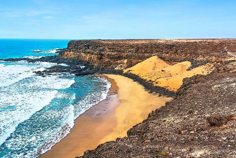
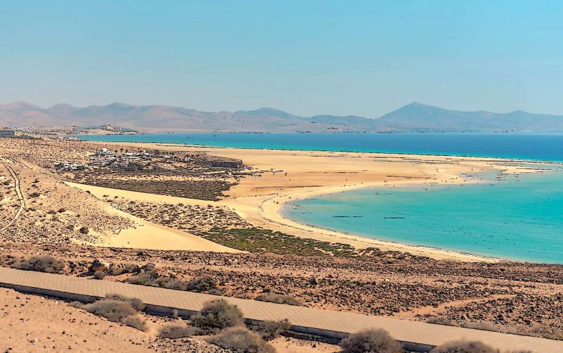
The Parque Natural de las Dunas de Corralejo is a protected natural park featuring extensive sand dunes located on the northeast coast of Fuerteventura, Canary Islands. It encompasses a significant stretch of coastline and inland dune fields.
Visual Characteristics
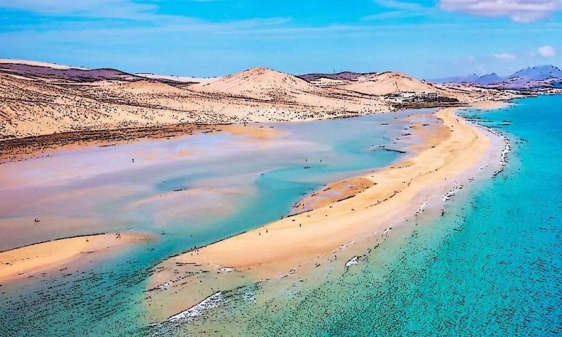
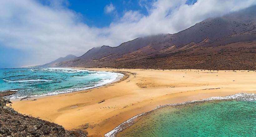
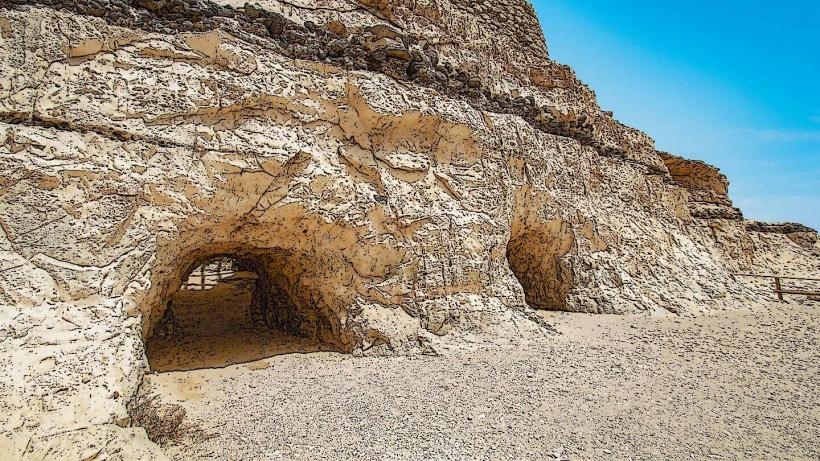
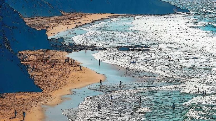
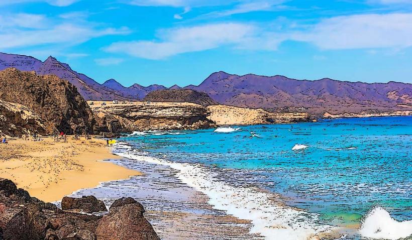
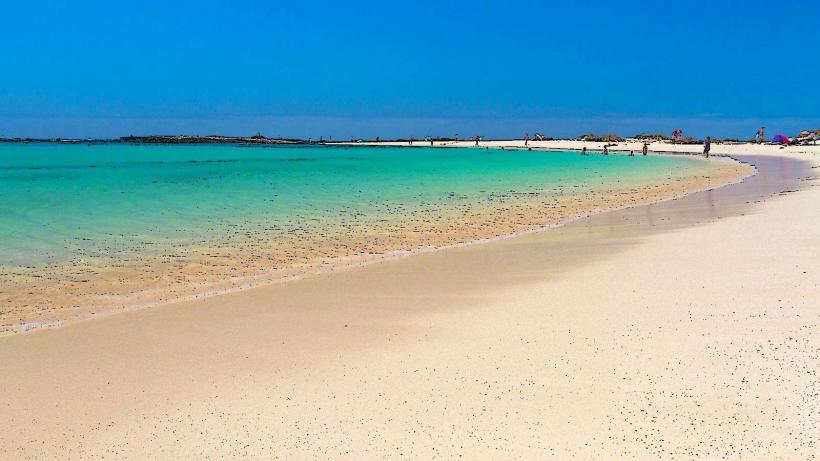
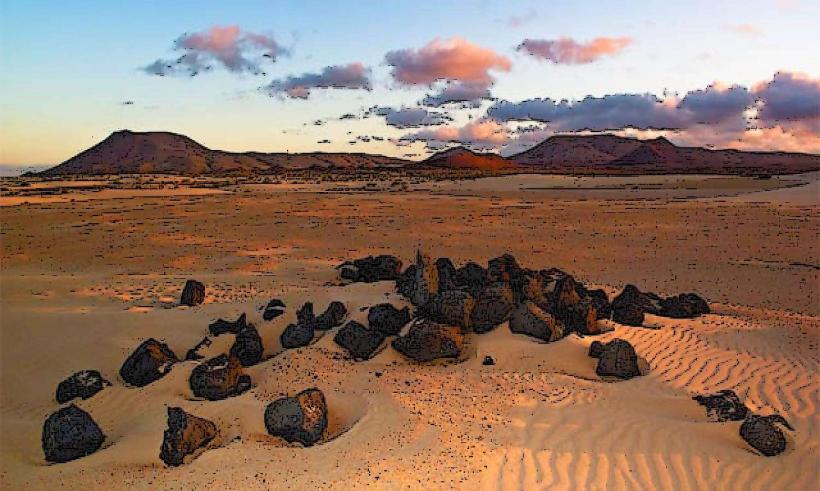
The park is characterized by vast expanses of pale golden sand dunes, some reaching heights of over 50 meters, which shift with the wind. The sand is fine-grained and soft. The dunes meet the Atlantic Ocean, which exhibits clear turquoise and deep blue waters. Sparse vegetation, primarily adapted to arid conditions, includes species like sea spurge and saltwort, appearing as low-lying shrubs or grasses.
Location & Access Logistics
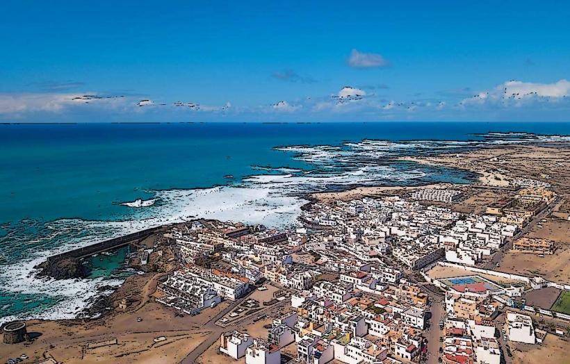
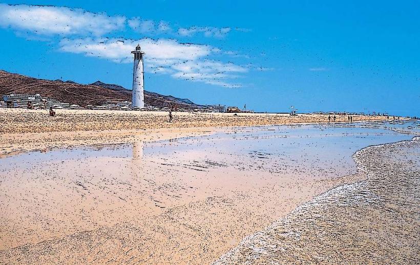
The park is situated immediately south of the town of Corralejo. The main access road is the FV-1, which runs directly through the park parallel to the coastline. Parking is available in designated pull-offs and unpaved areas directly alongside the FV-1. It is approximately 3km south of Corralejo town center and 35km northeast of Fuerteventura Airport (FUE). Public transport is available via bus line 6, which connects Corralejo with Puerto del Rosario and has stops within the park boundaries.
Historical & Ecological Origin
The dunes are primarily aeolian in origin, formed by sand transported from the Sahara Desert by prevailing winds over thousands of years. This sand accumulates and is shaped by the wind, creating a dynamic landscape. The area was designated as a Natural Park (Parque Natural) in 1994 to protect its unique ecosystem and geological features.
Key Highlights & Activities
Visitors can engage in walking and hiking across the dune fields, adhering to marked paths to protect the ecosystem. The extensive beaches along the park's coastline, such as Playa del Burro and Playa Larga, are suitable for swimming, sunbathing, and watersports like windsurfing and kitesurfing. Photography of the dune landscape and ocean views is a common activity.
Infrastructure & Amenities
Restroom facilities are limited, primarily found at specific beach chiringuitos (beach bars) within the park. Shade is minimal, with no natural tree cover within the dune fields. Cell phone signal (4G/5G) is generally reliable throughout the park due to its proximity to populated areas. Several beach chiringuitos offer food and beverages, particularly along the main beach sections.
Best Time to Visit
The best time to visit for comfortable temperatures and consistent sunshine is from April to October. Early morning or late afternoon provides optimal lighting for photography, casting long shadows across the dunes and enhancing their contours. High tide offers better conditions for swimming at some beach sections, while low tide exposes more beach area.
Facts & Legends
The sand comprising the Corralejo Dunes is geologically linked to the Sahara Desert, making it a direct extension of the African continent's vast desert landscape. A local tip suggests walking barefoot on the dunes in the early morning; the sand retains a cool temperature, offering a unique sensory experience before the midday sun heats the surface.
Nearby Landmarks
- Corralejo Town: 3km North
- Isla de Lobos: 5km Northeast (accessible by ferry from Corralejo)
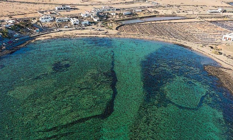
- Popcorn Beach (Playa del Bajo de la Burra): 7km North
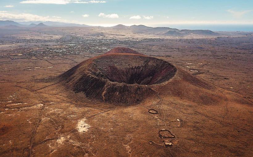
- Montaña Roja Volcano: 10km Southwest