Information
Landmark: Changi Point Coastal WalkCity: Eastern Region
Country: Singapore
Continent: Asia
Changi Point Coastal Walk, Eastern Region, Singapore, Asia
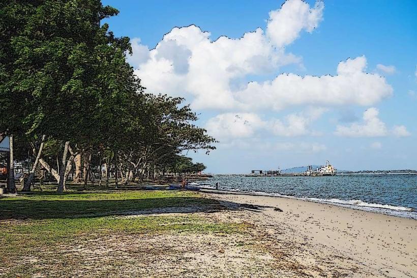
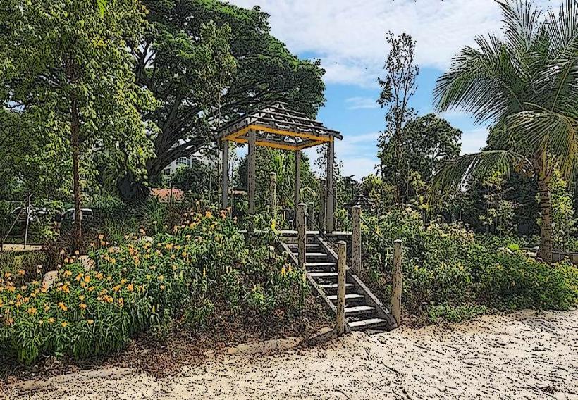
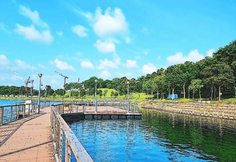
Changi Point Coastal Walk is a 2.2-kilometer boardwalk situated along the eastern coastline of Singapore. It provides pedestrian access to the waterfront and views of the Johor Strait.
Visual Characteristics
The boardwalk is constructed primarily of timber decking supported by concrete piers. It features low-level railings made of metal and wood. The path is generally flat, with occasional gentle inclines. Vegetation along the route consists of mature trees, including Sea Almonds and Casuarinas, providing intermittent shade. The water body adjacent to the walk is the Johor Strait, typically appearing grey-blue depending on atmospheric conditions and light. The seabed is visible in shallower areas, revealing sand and occasional rocks.
Location & Access Logistics
Changi Point Coastal Walk is located at the easternmost tip of Singapore Island. Access is via Changi Point, accessible from Changi Village Road. The nearest major road is Upper Changi Road East. Parking is available at Changi Point Carpark, which has a capacity of approximately 50 vehicles. Public transport options include SBS Transit bus service 2, which terminates at Changi Village Bus Terminal, approximately a 5-minute walk from the start of the coastal walk.
Historical & Ecological Origin
The Changi Point area has historically served as a strategic coastal defense point for Singapore. The current boardwalk infrastructure was developed as part of urban planning initiatives to enhance public access to the coastline. Ecologically, the area is part of Singapore's coastal zone, supporting intertidal life and providing habitat for migratory birds during certain seasons. The vegetation is characteristic of coastal pioneer species adapted to saline conditions.
Key Highlights & Activities
Walking the full length of the boardwalk is the primary activity. Visitors can observe maritime traffic in the Johor Strait. Birdwatching is possible, particularly during migratory periods. Photography of the coastline and sea views is a common activity. Fishing is permitted from designated sections of the boardwalk, subject to local regulations.
Infrastructure & Amenities
Restrooms are available at the Changi Point Visitor Centre, located at the western end of the walk. Benches are positioned at intervals along the boardwalk for seating. Shade is provided by natural tree cover. Cell phone signal (4G/5G) is generally consistent throughout the walk. Food vendors and eateries are concentrated in Changi Village, approximately a 5-minute walk from the boardwalk's western entrance.
Best Time to Visit
For photography, early morning (07:00-09:00) and late afternoon (17:00-18:30) offer favorable lighting conditions with softer shadows. The best months for weather are typically between March and September, characterized by less rainfall. High tide can offer more expansive sea views, while low tide exposes more of the intertidal zone.
Facts & Legends
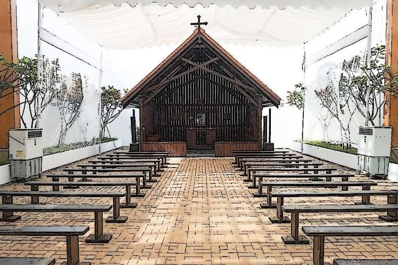
A notable historical feature near the walk is the Changi Chapel and Museum, commemorating prisoners of war from World War II. Local lore sometimes refers to the area as a site where spirits linger, though this is unsubstantiated.
Nearby Landmarks
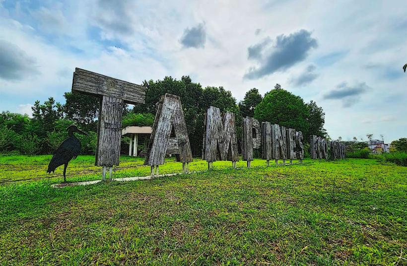
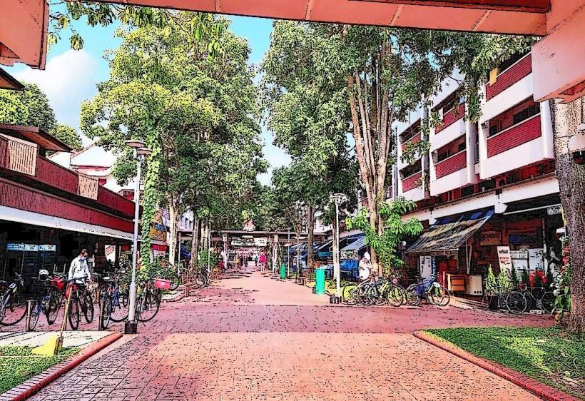
- Changi Village Hawker Centre (0.4km West)
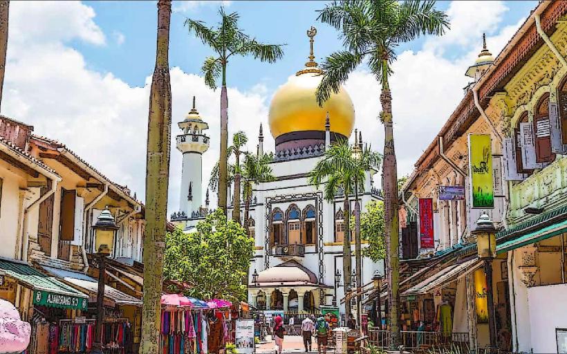
- Changi Beach Park (0.6km West)
- Changi Point Ferry Terminal (0.3km West)
- Changi Chapel and Museum (1.2km Northwest)
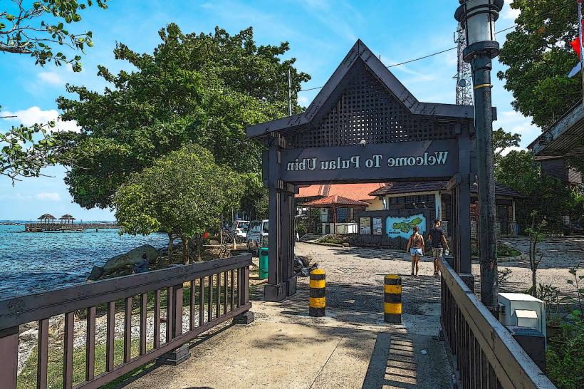
- Pulau Ubin (accessible via ferry from Changi Point Ferry Terminal, 0.3km West)