Information
Landmark: Charpatra MuraCity: Comilla
Country: Bangladesh
Continent: Asia
Charpatra Mura, Comilla, Bangladesh, Asia
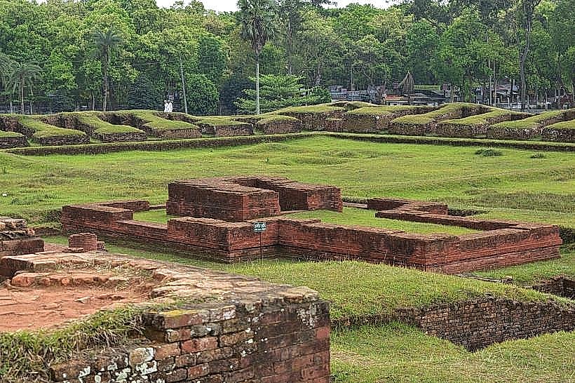
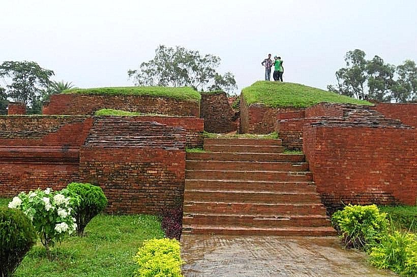
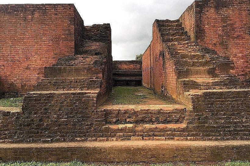
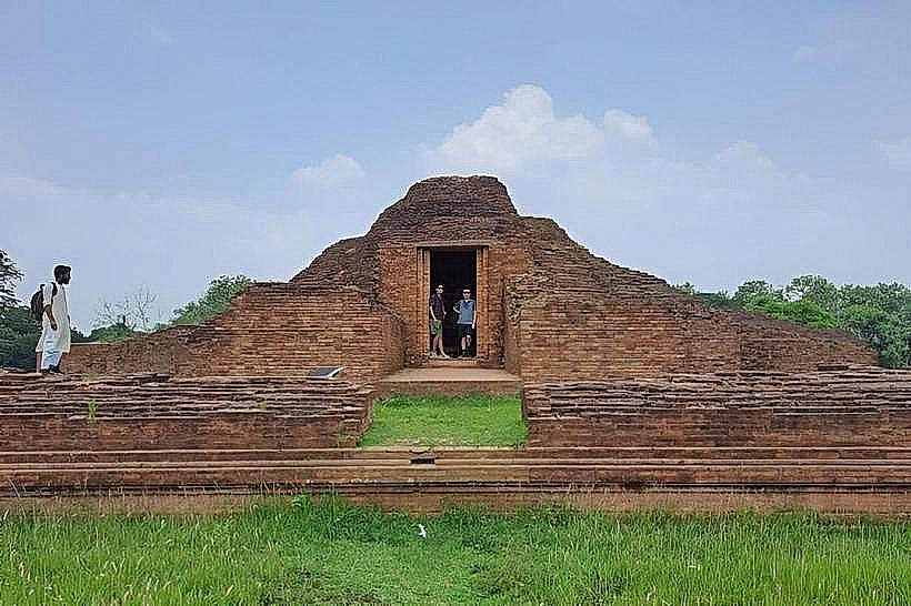
Charpatra Mura is an archaeological site located in the Comilla district of Bangladesh. It is a mound containing remnants of ancient structures.
Visual Characteristics
The site consists of a raised earthen mound, approximately 10 meters in height. Excavations have revealed brick foundations and fragments of pottery. The surrounding area is predominantly agricultural land.
Location & Access Logistics
Charpatra Mura is situated approximately 15 kilometers north of Comilla city center. Access is via the Comilla-Sylhet Highway (N2). Turn west onto a local paved road at the sign for Charpatra Mura. Parking is available on the unpaved shoulder adjacent to the site. No public transport directly serves the site; local buses to the highway junction are available, followed by a walk or hired rickshaw.
Historical & Ecological Origin
Archaeological evidence suggests the site dates back to the 8th-12th centuries CE, likely associated with the Pala and Sena dynasties. It is believed to have been a monastic or administrative complex. The mound is a natural formation modified by human construction over time.
Key Highlights & Activities
Observation of excavated brick structures. Examination of pottery shards found on the surface. Photography of the archaeological mound and surrounding landscape.
Infrastructure & Amenities
No public restrooms are available at the site. Limited natural shade is provided by scattered trees. Cell phone signal (4G) is generally available. No food vendors are present; provisions should be made before arrival.
Best Time to Visit
The best time for photography is during the late afternoon when the sun angle provides shadow definition on the mound. The dry season, from November to March, offers the most comfortable weather conditions.
Facts & Legends
Local folklore suggests the mound was once a fort belonging to a powerful king, though archaeological findings point to a religious or administrative purpose.
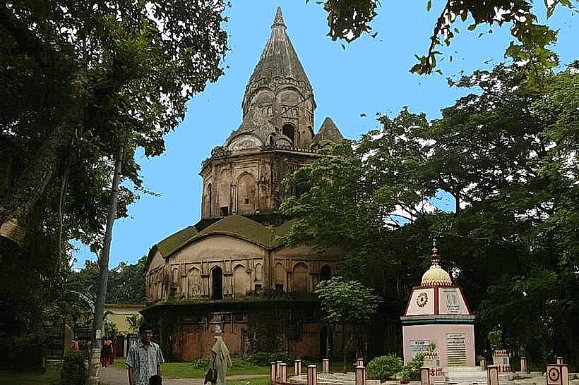
Nearby Landmarks
- Lalmai Hill (2.5km Southwest)
- Mainamati Museum (4.0km Southwest)
- Kutila Mura (4.5km Southwest)
- Shalban Bihar (5.0km Southwest)