Information
Landmark: Franconia NotchCity: Northern NH
Country: USA New Hampshire
Continent: North America
Franconia Notch, Northern NH, USA New Hampshire, North America
Franconia Notch is a mountain pass located in the White Mountains of New Hampshire, USA. It is a significant geological feature and a protected state park.
Visual Characteristics
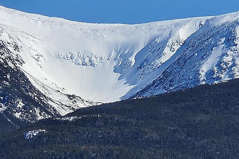
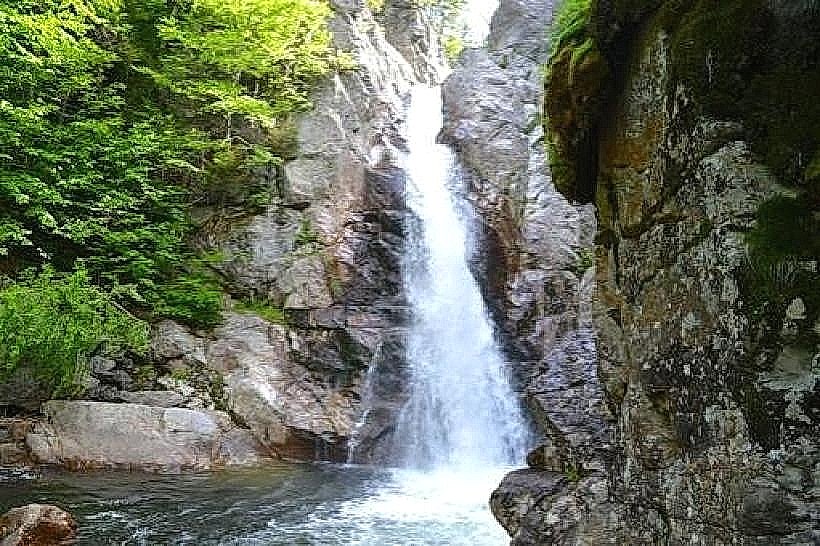
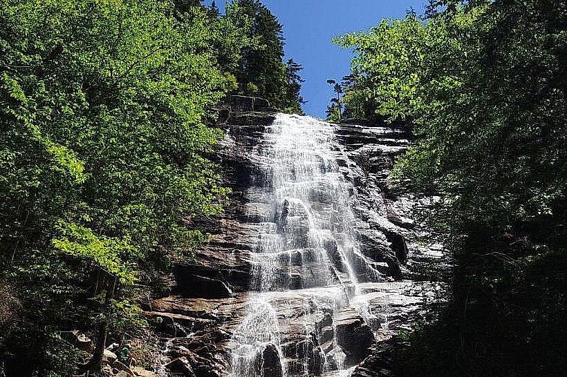
The notch is characterized by steep granite cliffs, including the Cannon Cliffs and the Profile Cliffs. The landscape features dense coniferous and deciduous forests, with the Pemigewasset River flowing through the valley floor. Several waterfalls, such as The Flume and The Basin, are present, featuring water cascades over exposed bedrock.
Location & Access Logistics
Franconia Notch is situated in Northern New Hampshire, approximately 130 miles north of Boston, Massachusetts. Access is primarily via Interstate 93 (I-93), which bisects the notch. Exits 34A and 34B provide direct access to park facilities. Parking is available at designated lots for trailheads and attractions, including the Cannon Mountain Aerial Tramway base station and the Flume Gorge visitor center. Public transportation options are limited; however, seasonal shuttle services may operate between park facilities.
Historical & Ecological Origin
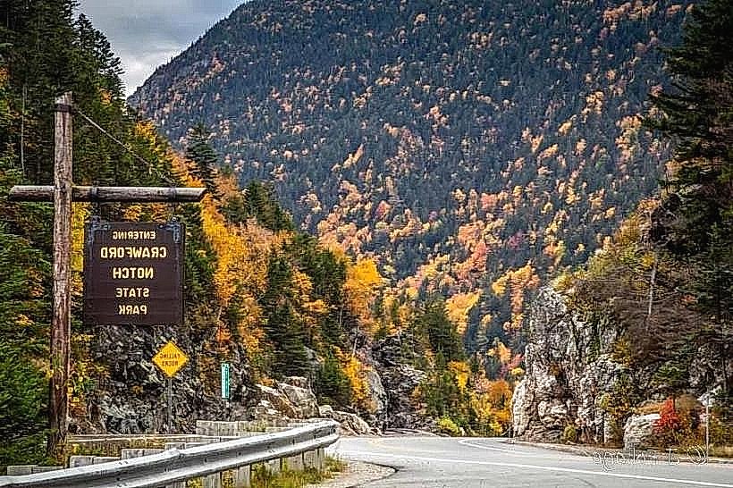
The notch was formed by glacial erosion, with the U-shaped valley being a direct result of past ice sheet activity. The granite formations are part of the Appalachian Mountains. Historically, the area was a significant transportation route through the mountains. The Franconia Notch State Park was established to preserve its natural and geological features.
Key Highlights & Activities
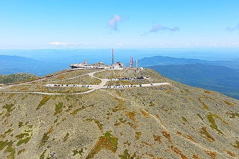
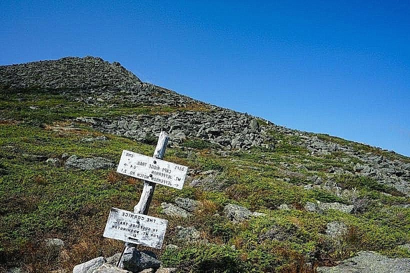
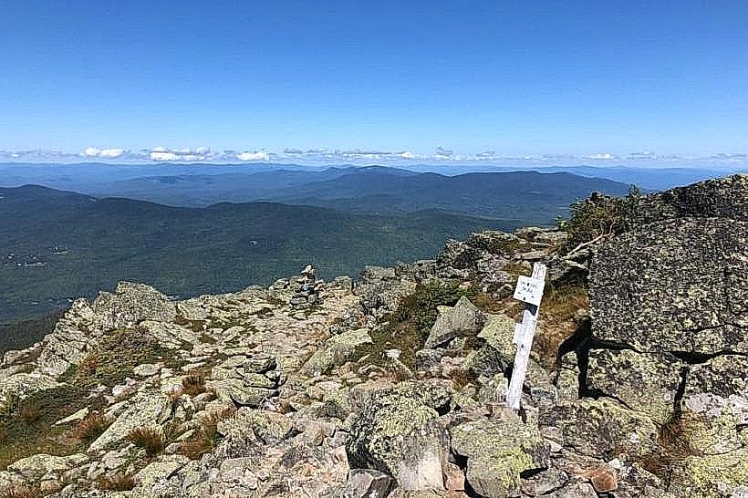
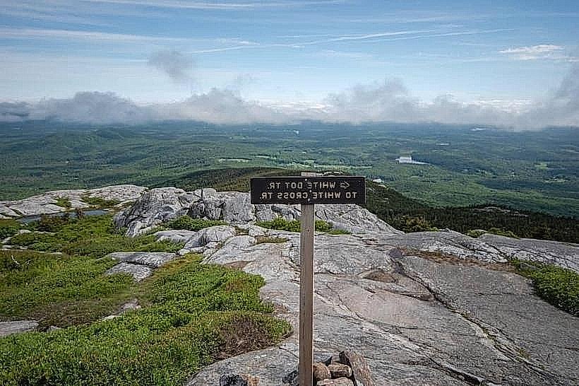
Activities include hiking on trails such as the Franconia Ridge Loop, which offers challenging ascents to the ridgeline. The Cannon Mountain Aerial Tramway provides access to summit views. Exploration of The Flume Gorge, a natural chasm with waterfalls and boardwalks, is a primary attraction. The Basin, a pothole carved by glacial meltwater, is also accessible. Rock climbing is permitted on designated cliffs.
Infrastructure & Amenities
Restrooms are available at major visitor centers and trailheads. Shade is abundant within the forested areas. Cell phone signal is intermittent within the notch, with stronger reception near I-93 and higher elevations. Food vendors and a restaurant are located at the Cannon Mountain base station and the Flume Gorge visitor center.
Best Time to Visit
The best time for hiking is from late May to mid-October, avoiding winter conditions. For photography, early morning or late afternoon light provides optimal illumination of the cliffs and foliage. The Flume Gorge is typically open from mid-May to mid-October. High tide is not a relevant factor for this inland location.
Facts & Legends
The Old Man of the Mountain, a rock formation resembling a human profile, was a prominent natural landmark within the notch until its collapse in 2003. Local folklore sometimes attributes the formation's existence and eventual fall to supernatural forces or geological instability.
Nearby Landmarks
- 0.8km West: Cannon Mountain Aerial Tramway
- 1.5km South: The Basin
- 2.0km South: The Flume Gorge
- 3.5km North: Lafayette Place Campground
- 4.0km North: Franconia College