Information
Landmark: Mount JeffersonCity: Northern NH
Country: USA New Hampshire
Continent: North America
Mount Jefferson, Northern NH, USA New Hampshire, North America
Mount Jefferson is a prominent peak located in the northern White Mountains of New Hampshire, USA.
It is the third-highest mountain in the state, part of the Presidential Range.
Visual Characteristics
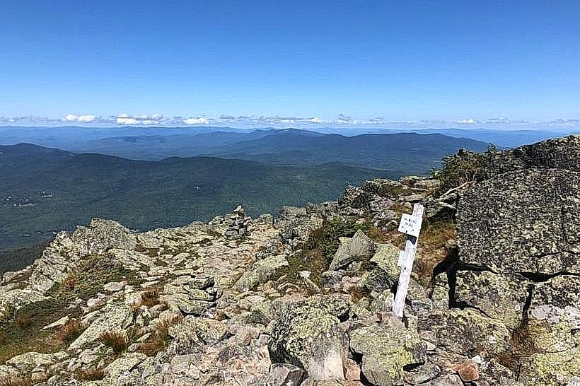
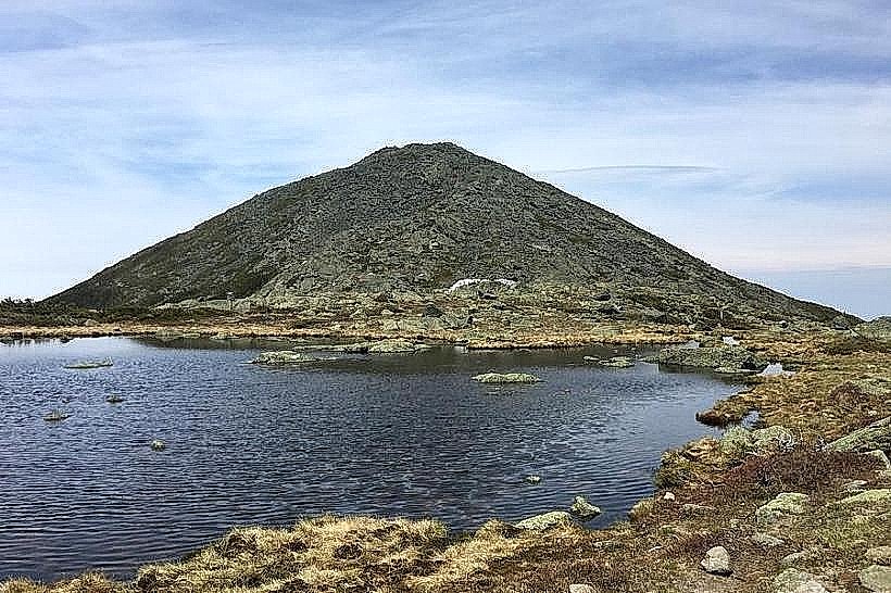
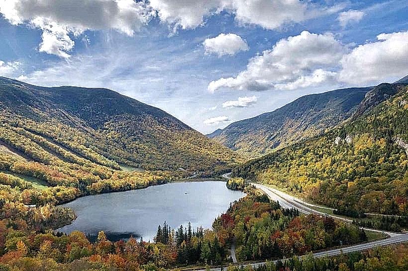
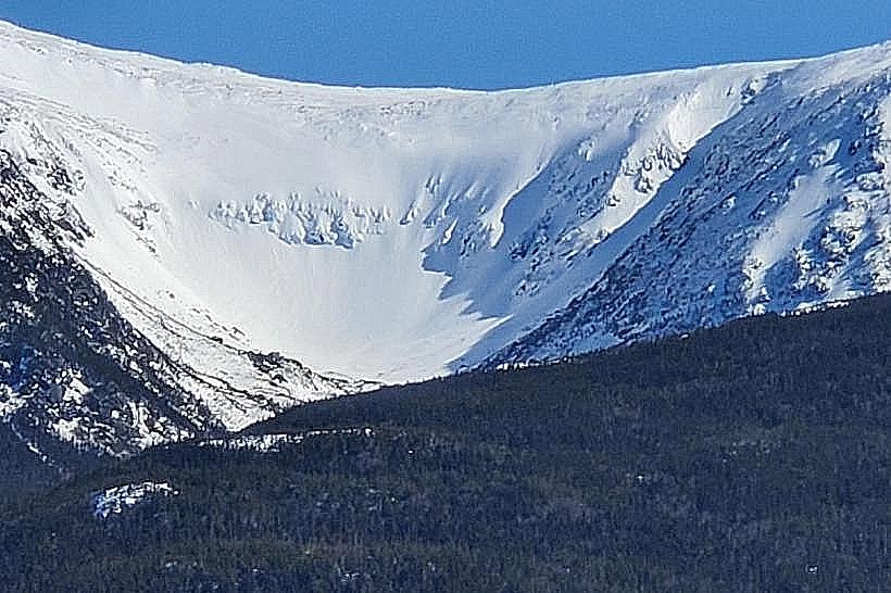
Mount Jefferson's summit is characterized by exposed granite and alpine tundra. The upper slopes feature steep, rocky terrain with scree fields. Lower elevations are covered in dense coniferous forest, primarily spruce and fir. The mountain exhibits a rugged, angular profile.
Location & Access Logistics
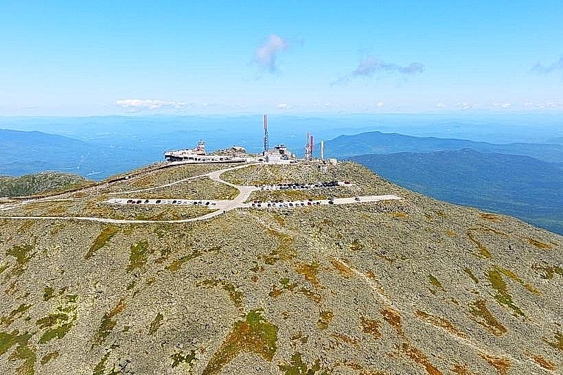
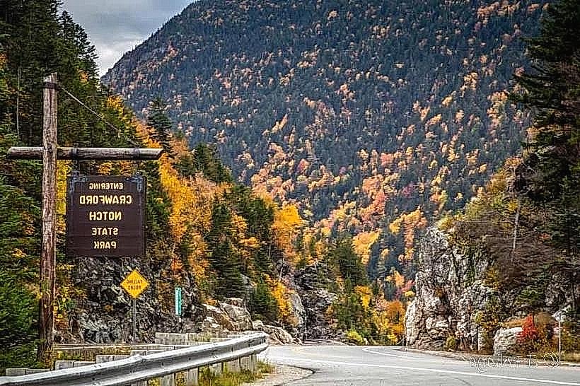
Mount Jefferson is situated in the northern section of the White Mountain National Forest. Access is primarily via the Mount Washington Auto Road, which terminates near the summit of Mount Washington. From the Auto Road, a trail leads to Mount Jefferson. The nearest major town is Gorham, NH, approximately 15km East. Parking is available at the Mount Washington Auto Road base station and at trailheads along Route 16. Public transport to Gorham is available via Amtrak and intercity bus services, with local taxi services to trailheads.
Historical & Ecological Origin
Mount Jefferson is a product of glacial erosion and uplift, part of the Appalachian Mountains. Its formation is linked to the geological processes that created the Presidential Range. The mountain's alpine zone is an example of a high-altitude ecosystem adapted to harsh conditions.
Key Highlights & Activities
Hiking is the primary activity. The summit can be reached via the Jefferson Loop, which connects to the Ammonoosuc Ravine Trail and the Crawford Path. The summit offers panoramic views of surrounding peaks. Rock scrambling is present on certain sections of the trails.
Infrastructure & Amenities
Limited infrastructure exists on the mountain itself. The Mount Washington State Park Visitor Center at the summit of Mount Washington (nearby) offers restrooms and a gift shop. Cell phone signal is intermittent and unreliable on the trails and summit. No food vendors are present on Mount Jefferson; provisions must be carried by hikers.
Best Time to Visit
The optimal hiking season is from late June to early October, avoiding winter conditions. Mid-morning offers good lighting for photography before the sun becomes directly overhead. Weather can change rapidly; check forecasts before departure.
Facts & Legends
The summit of Mount Jefferson is known for its extreme wind exposure, often exceeding that of Mount Washington. The summit plateau is a fragile alpine environment; visitors are advised to stay on marked trails to minimize impact.
Nearby Landmarks
- Mount Washington (0.8km South)
- Mount Adams (2.5km Northwest)
- Ammonoosuc Ravine (3.0km Southwest)
- The Cog Railway Base Station (4.5km Southeast)
- Pinkham Notch Visitor Center (4.8km East)