Information
Landmark: Gorner GlacierCity: Zermatt
Country: Switzerland
Continent: Europe
Gorner Glacier, Zermatt, Switzerland, Europe
The Gorner Glacier is a valley glacier located on the south side of the Monte Rosa massif in the Pennine Alps, near Zermatt, Switzerland. It is the second-largest glacial system in the Alps by surface area, following the Aletsch Glacier.
Visual Characteristics
The glacier surface features complex patterns of blue ice, white firn, and dark medial moraines composed of rock debris. The ice mass is characterized by deep vertical crevasses, turquoise meltwater pools, and winding supraglacial streams. The lower section of the glacier, or tongue, is heavily covered in grey and brown rock fragments. It is surrounded by several 4,000-meter peaks, including the Monte Rosa and Liskamm.
Location & Access Logistics
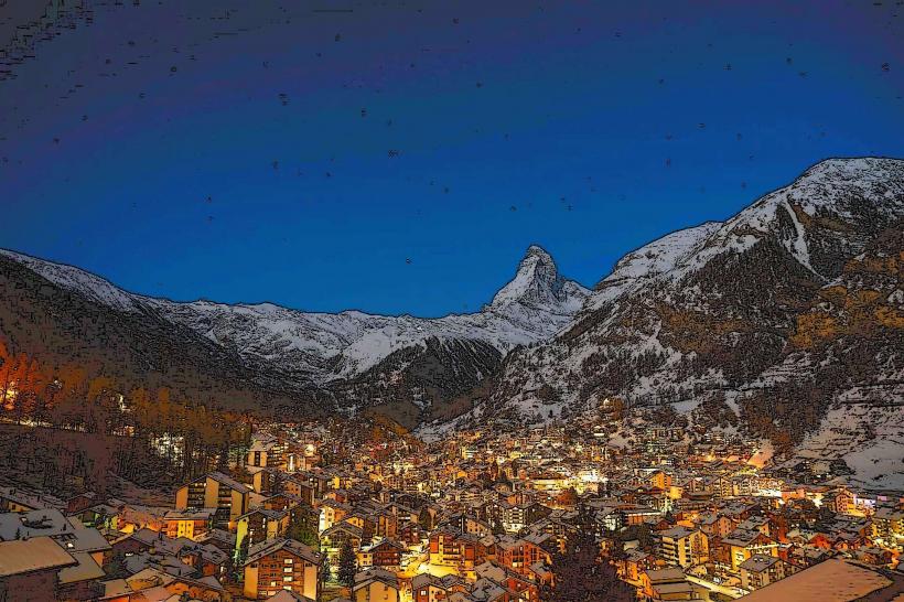
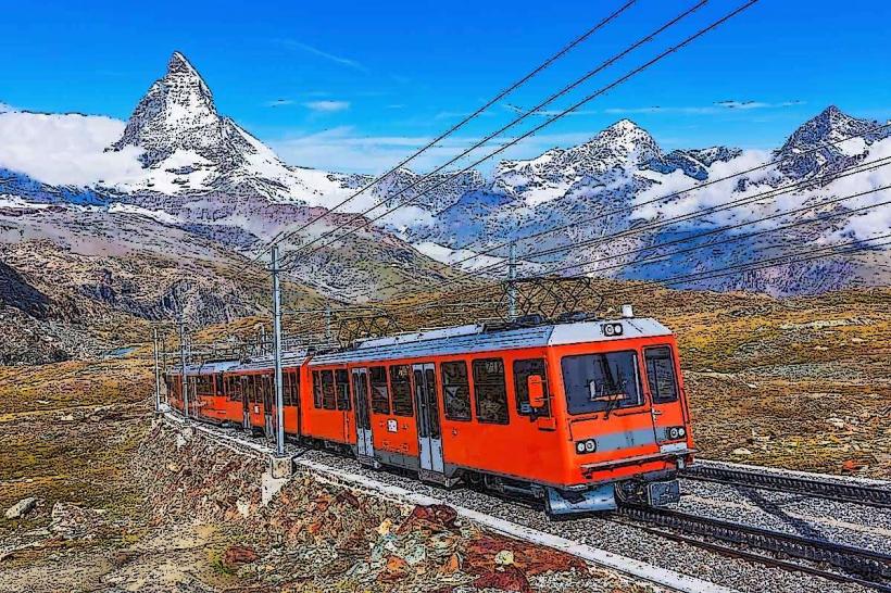
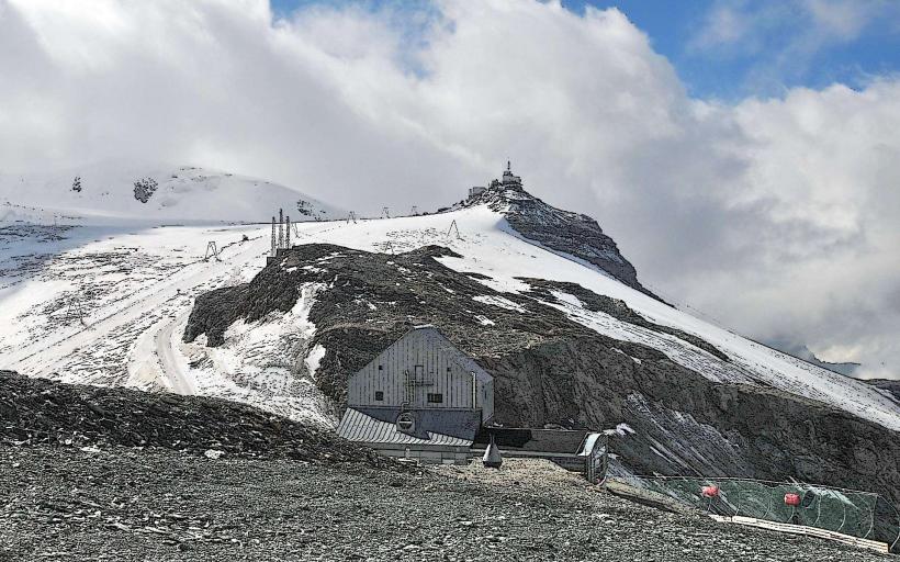
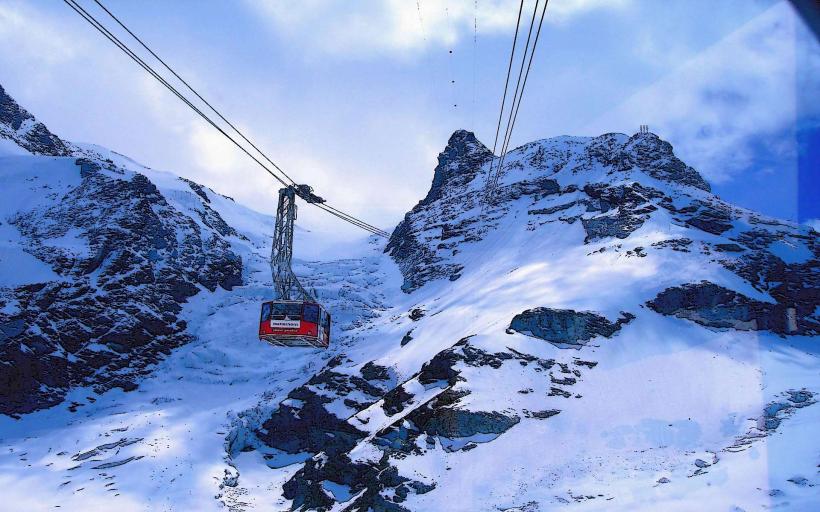
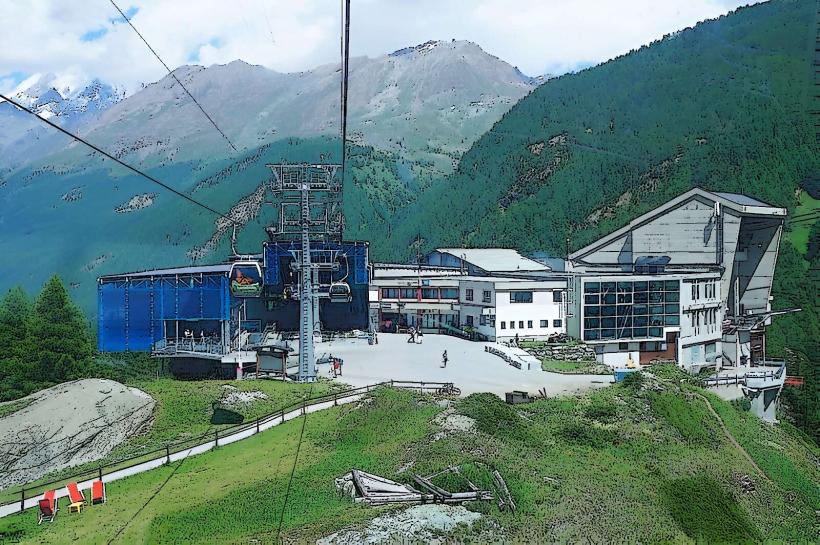
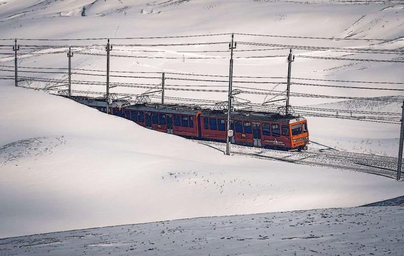
The primary viewing point is accessed via the Gornergrat Railway from Zermatt to the Gornergrat summit station (3,089m). From the station, the glacier is visible directly to the south. Physical access to the glacier surface requires a high-altitude hike from the Rotenboden station via the "Monte Rosa Hut" trail. No road access exists; visitors must arrive in Zermatt via the Matterhorn Gotthard Bahn from Täsch and use the rack railway or cable cars.
Historical & Ecological Origin
The glacier was formed during the last glacial period and reached its maximum modern extent around 1859. It is a temperate glacier, currently experiencing significant retreat and thinning due to climate shifts. The system is fed by several tributary glaciers, including the Grenz, Monte Rosa, and Twin glaciers. Geologically, it sits in a basin of metamorphic rock, primarily gneiss and schist.
Key Highlights & Activities
Guided glacier trekking and "ice climbing" tours are conducted on the lower sections during summer. The "Monte Rosa Hut" hike provides a route that crosses the glacier, requiring crampons and mountain guides for safety. During winter, the "Gorner Glacier Descent" is a famous off-piste ski route starting from Matterhorn Glacier Paradise and ending at Furi.
Infrastructure & Amenities
There is no infrastructure on the glacier itself. Viewing infrastructure is located at the Gornergrat summit, which offers restaurants, restrooms, and 5G cellular signal. The Monte Rosa Hut, located on the far side of the glacier at 2,883m, provides accommodation and catering. No shade or food vendors are available on the glacial ice.
Best Time to Visit
The optimal time for viewing is mid-morning (09:00–11:00) when the sun is high enough to illuminate the crevasses without creating deep shadows from the surrounding peaks. July and August are the best months for trekking. In winter, March and April offer the best conditions for the glacier ski descent.
Facts & Legends
The Gorner Glacier is known for the "Gornersee," a marginal glacial lake that used to form annually and drain suddenly in a "glacial lake outburst flood" (GLOF), though this phenomenon has become rare as the glacier thins. A verified oddity is that the glacier is moving at a rate of approximately 15 to 30 meters per year, constantly shifting the position of the trekking paths.
Nearby Landmarks
Monte Rosa Hut – 2.5km East
Gornergrat Summit – 1.5km North
Hohtälli Peak – 2.8km Northeast
Matterhorn Glacier Paradise – 3.5km Southwest
Rotenboden Station – 1.8km Northwest