Information
Landmark: Matterhorn MountainCity: Zermatt
Country: Switzerland
Continent: Europe
Matterhorn Mountain, Zermatt, Switzerland, Europe
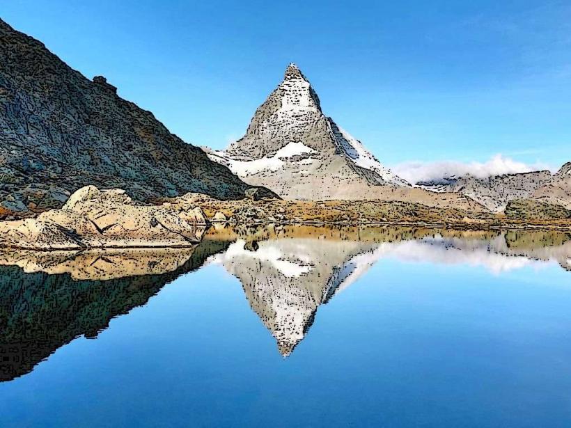
The Matterhorn is a pyramid-shaped mountain of the Pennine Alps, situated on the border between Switzerland and Italy. It overlooks the Swiss town of Zermatt to the northeast and the Italian town of Breuil-Cervinia to the south.
Visual Characteristics
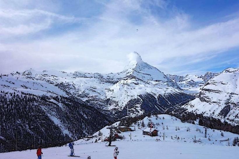
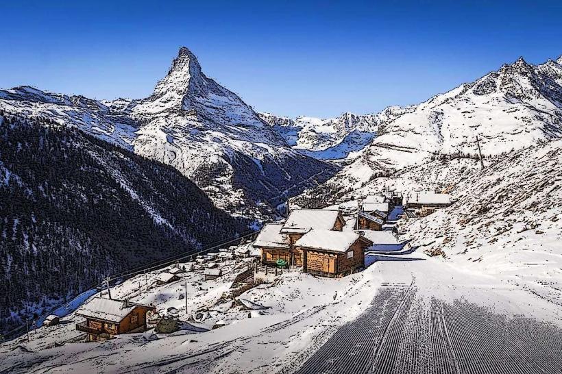
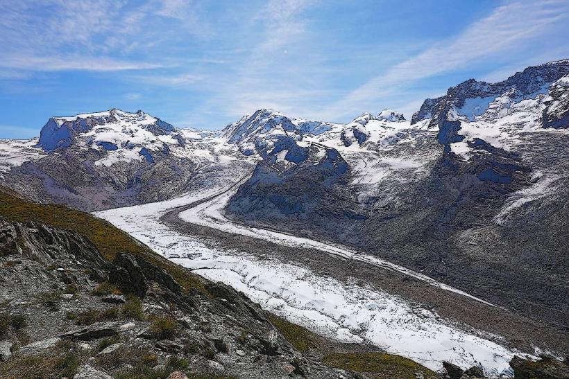
The peak is a symmetrical four-sided pyramid with faces aligned to the cardinal points. It reaches an elevation of 4,478 meters. The structure consists of gneiss and schist formed by the African plate pushing over the European plate. The rock is dark grey to brown, often partially covered by permanent ice fields and seasonal snow. The North Face is nearly vertical, while the Hörnli Ridge provides a sharp, jagged silhouette.
Location & Access Logistics
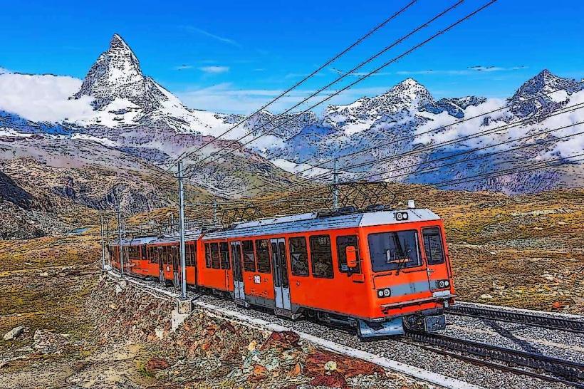
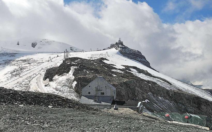
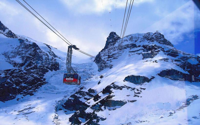
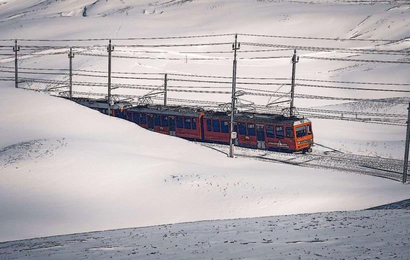
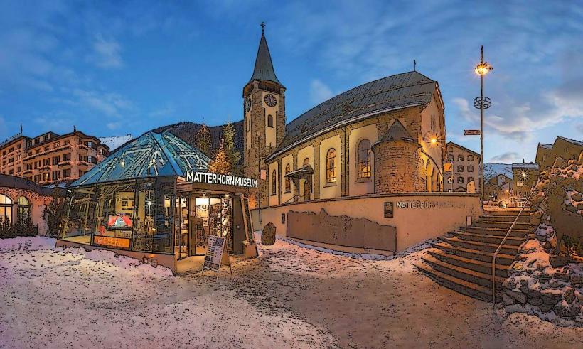
Access is via the car-free village of Zermatt. Travelers arrive via the Matterhorn Gotthard Bahn railway from Visp or Täsch. From Zermatt, the Matterhorn Glacier Paradise cable car reaches Klein Matterhorn at 3,883 meters. To reach the base of the Hörnli Ridge (the standard climbing route), hikers take the Schwarzsee cable car and proceed on foot. Road access ends at Täsch, where parking is available in a 2,100-space terminal.
Historical & Ecological Origin
The mountain is a "glacial horn" formed by the headward erosion of multiple glaciers. Geologically, the upper portion of the mountain is an erratic block of the African Plate (the Dent Blanche nappe) sitting atop the European Plate. The first successful ascent was recorded on July 14, 1865, by Edward Whymper's party, marking the end of the golden age of alpinism.
Key Highlights & Activities
Technical mountaineering via the Hörnli, Lion, Zmutt, or Furggen ridges is the primary high-altitude activity. The Matterhorn Glacier Paradise offers year-round skiing on the Theodul Glacier. Hiking trails such as the Matterhorn Trail or the Five Lakes Walk provide viewpoints of the peak. Paragliding launches occur from Rothorn and Schwarzsee.
Infrastructure & Amenities
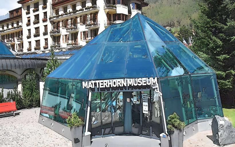
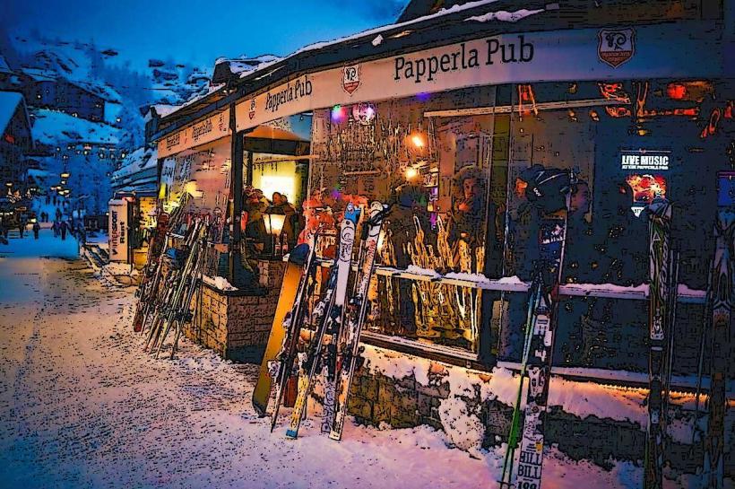
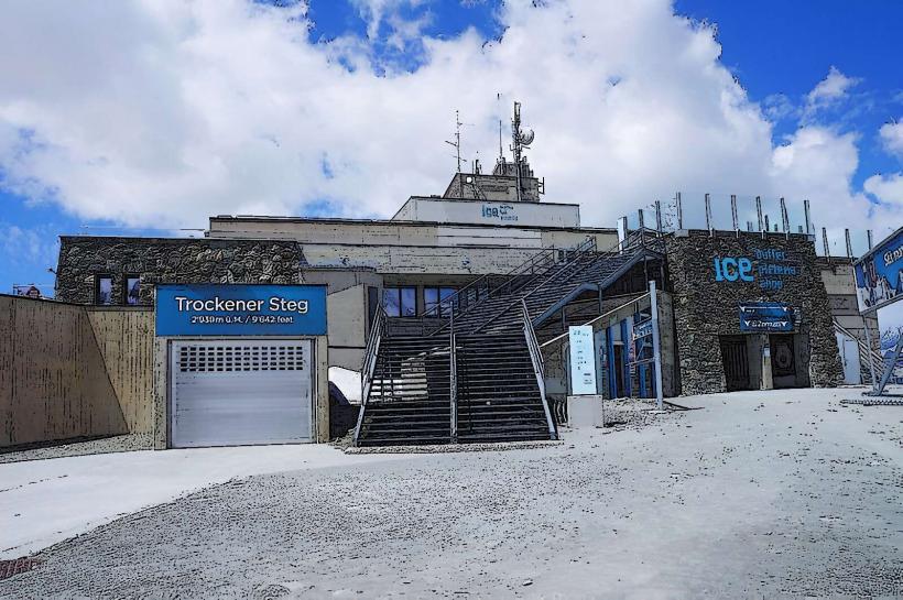
The Hörnli Hut provides 130 beds and catering for climbers at the base of the ridge. The village of Zermatt contains full 5G cellular coverage, medical facilities, and extensive food vendors. On the mountain, amenities are restricted to cable car stations (Schwarzsee, Trockener Steg) which feature restrooms and mountain restaurants. No shade exists on the upper slopes.
Best Time to Visit
The mountaineering season runs from July to September when the rock is mostly clear of snow. For photography, the east face is best captured at sunrise from the Stellisee or Kirschbrücke. Clear sky visibility is highest during the winter months (December to February), though temperatures remain well below freezing.
Facts & Legends
Local lore once held that the summit was a fortress for demons, explaining why it remained unclimbed long after higher Alpine peaks. A verified oddity is the Solvay Hut, an emergency refuge perched at 4,003 meters on the Hörnli Ridge, which appears to cling precariously to a narrow ledge.
Nearby Landmarks
Gornergrat Railway Station – 4.8km East
Schwarzsee Lake – 3.8km Northeast
Zermatt Village Center – 5.0km Northeast
Theodul Pass – 3.2km Southeast
Klein Matterhorn – 4.1km Southeast