Information
Landmark: Theodul PassCity: Zermatt
Country: Switzerland
Continent: Europe
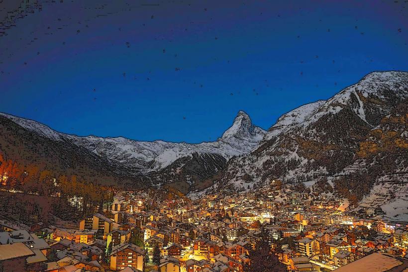
Theodul Pass, Zermatt, Switzerland, Europe
Theodul Pass is a high-altitude mountain pass across the Pennine Alps, situated at 3,295 meters on the border between Switzerland and Italy. It connects the Swiss village of Zermatt with the Italian resort of Breuil-Cervinia.
Visual Characteristics
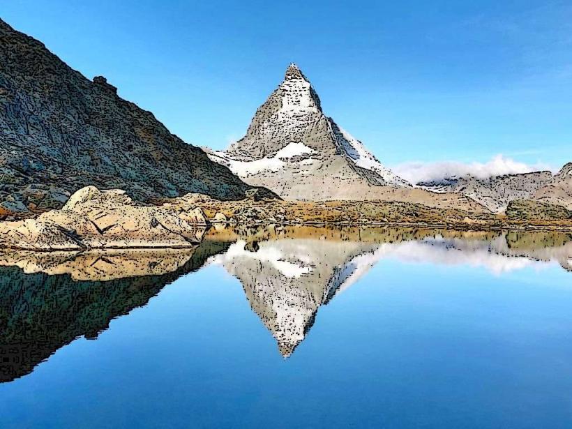
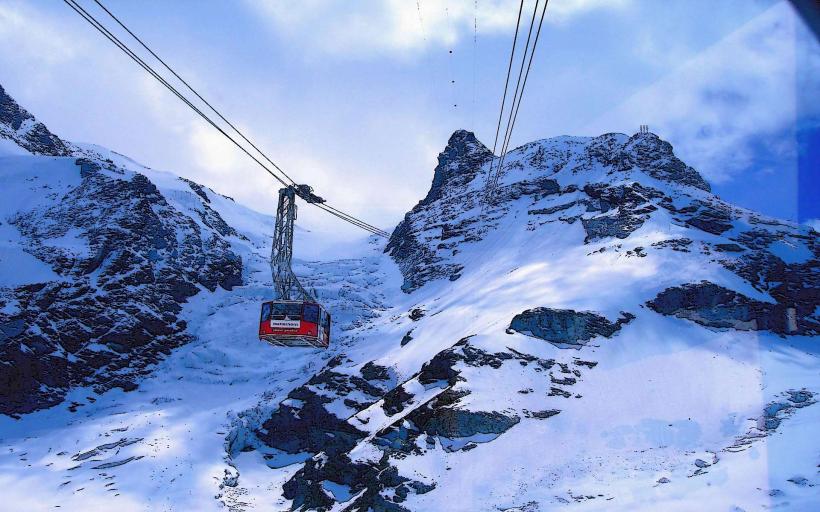
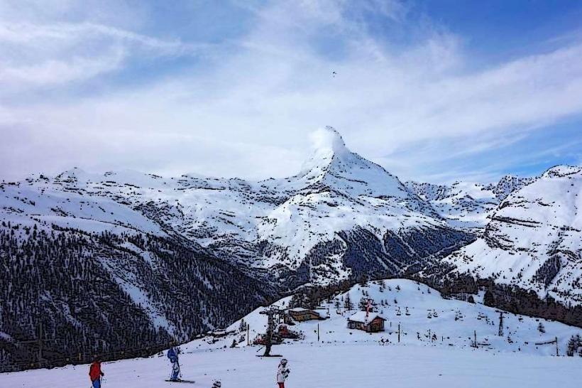
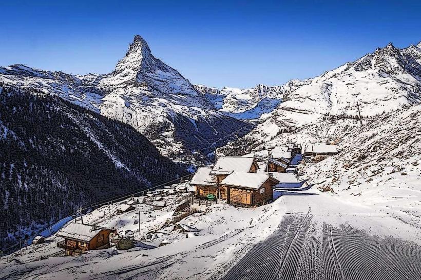
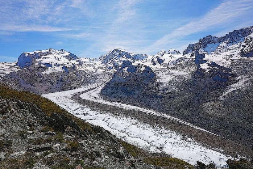
The pass is located on a glaciated saddle between the Matterhorn to the west and the Breithorn to the east. It is characterized by extensive perennial ice fields and the Upper Theodul Glacier. The terrain consists of moraine debris, jagged metamorphic rock, and steep snow slopes. The color palette is dominated by stark whites of the ice and the dark, slate-grey tones of the surrounding peaks.
Location & Access Logistics
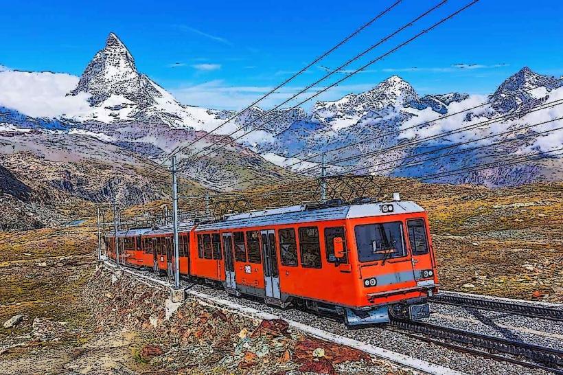
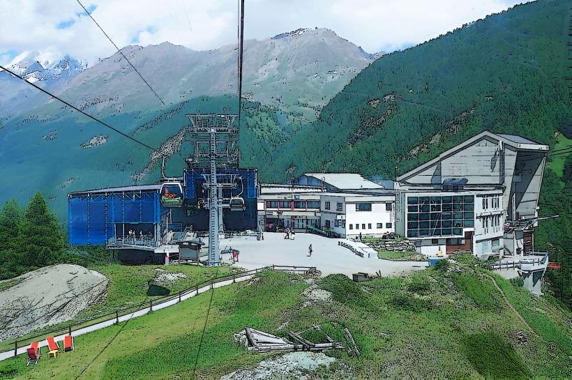
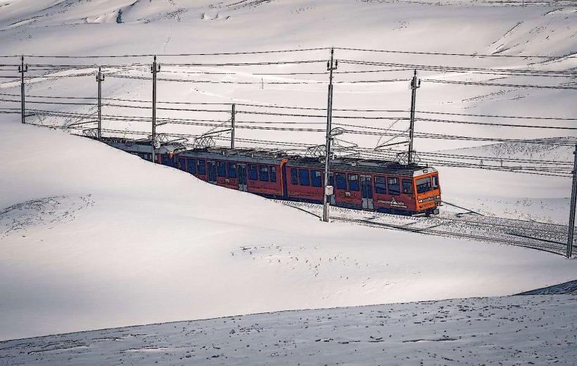
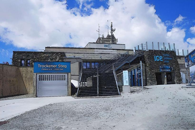
Primary access is via the Matterhorn Glacier Paradise cable car system from Zermatt. Travelers disembark at the Trockener Steg station (2,939m) and hike or ski southward toward the pass. Alternatively, it is accessible from the Italian side via the Cervinia-Plan Maison-Theodulpass cable car. There is no vehicle access to the site; the nearest road terminals are in Täsch (Switzerland) and Breuil-Cervinia (Italy).
Historical & Ecological Origin
The pass has served as a strategic alpine crossing since the Roman era and was used by Walser settlers in the 13th century. It is a geomorphological depression formed by the convergence of the Theodul and Valtournenche glaciers. Ecologically, it sits within the high-alpine nival zone, where vegetation is virtually non-existent, and the environment is governed by glacial movement and permafrost.
Key Highlights & Activities
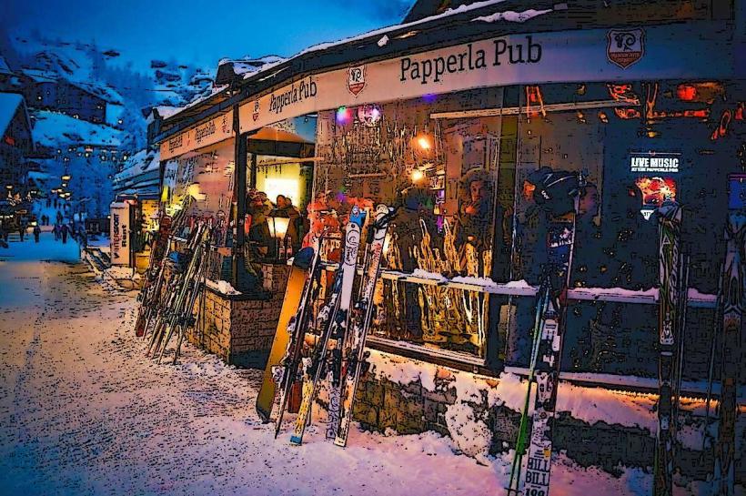
Skiing and snowboarding are the primary activities, as the pass forms part of the international Matterhorn Ski Paradise area. The Rifugio Teodulo, located exactly on the pass, offers high-altitude dining and accommodation. Mountaineers use the pass as a transition point for crossings between the Zermatt and Valtournenche valleys. Summer skiing is possible on the adjacent glacier plateau.
Infrastructure & Amenities
The Rifugio Teodulo provides basic restrooms, a restaurant, and overnight beds for climbers and skiers. There is 4G/5G cellular signal available from both Swiss and Italian providers. There is no shade available on the pass. Nearby infrastructure at Trockener Steg and Testa Grigia provides more extensive medical, retail, and transit facilities.
Best Time to Visit
For skiers, the winter months (December to April) offer the most consistent snow cover. For hikers, July and August are optimal, though crossing the glacier requires appropriate equipment and favorable weather. Photography is best during the early morning when the sun rises over the Breithorn, casting light across the Matterhorn's south face.
Facts & Legends
In the late 19th century, a Roman-era coin hoard and a 16th-century mercenary's remains, known as the "Theodul Man," were discovered in the melting ice near the pass. This verified that the pass was a critical trade route during warmer climatic periods in history when the glacier was significantly smaller.
Nearby Landmarks
Matterhorn Glacier Paradise – 1.6km Northeast
Matterhorn Summit – 3.2km Northwest
Rifugio Teodulo – 0.0km North
Breithorn Summit – 2.9km East
Trockener Steg Station – 1.4km North