Information
Landmark: Trockener StegCity: Zermatt
Country: Switzerland
Continent: Europe
Trockener Steg, Zermatt, Switzerland, Europe
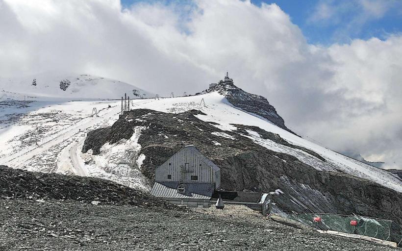
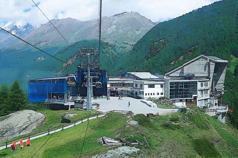
Trockener Steg is a high-alpine transport hub and plateau situated at 2,939 meters at the base of the Matterhorn's eastern face. It serves as the primary junction for the Zermatt-Cervinia ski area and the main transit point for the Matterhorn Glacier Paradise.
Visual Characteristics
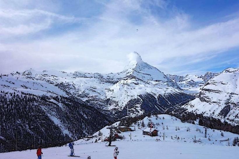
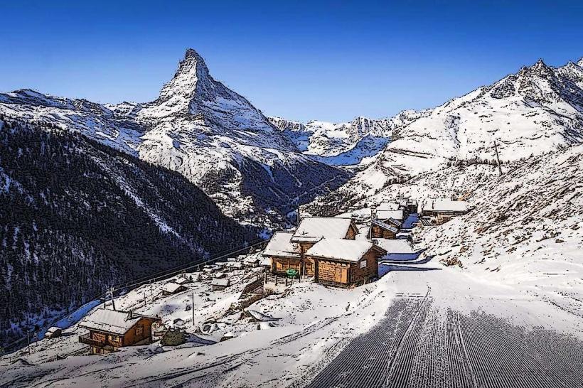
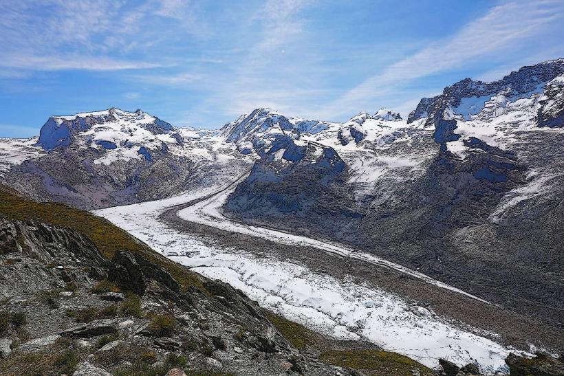
The plateau is characterized by a stark, rocky landscape of grey gneiss and schist, largely devoid of vegetation. It overlooks the upper sections of the Theodul Glacier and features massive steel and glass cable car terminals. The area is dominated by the near-vertical rock walls of the Matterhorn to the west. In winter, the terrain is entirely snow-covered, while summer reveals glacial moraines and small meltwater ponds.
Location & Access Logistics
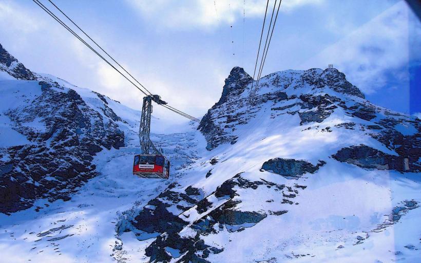
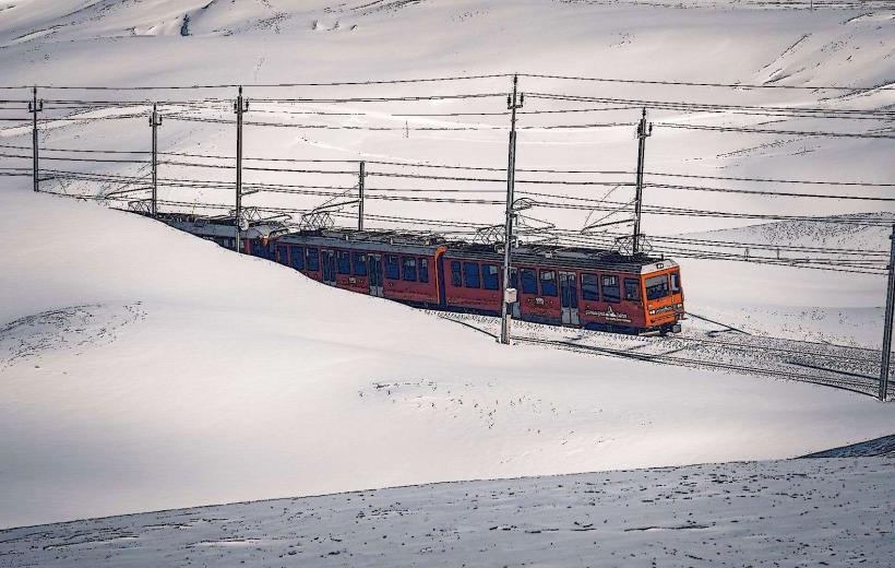
Access is via the cable car system from Zermatt, with a transfer at Furi. The transit time from the Zermatt base station is approximately 25 to 30 minutes. It is the departure point for the "Matterhorn Glacier Ride" 3S cable car to Klein Matterhorn and the gondola to Theodul Pass. There are no roads; the nearest vehicle terminal is in Täsch, necessitating a train journey to Zermatt before boarding the lifts.
Historical & Ecological Origin
The first cable car reached Trockener Steg in 1964, transforming the area from a remote glacial outpost into a central tourism node. Geologically, the plateau sits on the contact zone between different tectonic nappes of the Alps. The ecology is strictly high-alpine (nival zone), characterized by permafrost and extreme weather conditions. The name "Trockener Steg" translates to "dry path," referring to the historic route used to bypass the glacier ice.
Key Highlights & Activities
The site is the central departure point for year-round glacier skiing on the Theodul Glacier. In summer, it serves as the start of the "Matterhorn Glacier Trail," a 6.5km hike to Schwarzsee that passes through a landscape of retreat-glacier features. An info-point provides data on the 3S cable car technology and glacial geology. It is a major hub for the international ski link between Switzerland and Italy.
Infrastructure & Amenities
The complex includes a large mountain restaurant (3rd Station), a pizzeria, and a souvenir shop. Public restrooms are located inside the main terminal building. The site is equipped with full 5G cellular coverage. Large indoor waiting areas are provided for passengers. The station is fully wheelchair accessible via elevators and flat transit paths between the different cable car lines.
Best Time to Visit
The best time for photography of the Matterhorn's Furggen and Hörnli ridges is early morning when the sun illuminates the east face. Winter (December to April) provides the best connectivity for skiers. Summer (July to September) is optimal for hiking the Glacier Trail. High winds exceeding 80 km/h can result in the suspension of cable car services to this altitude.
Facts & Legends
The site houses the drive mechanism for the highest 3S cable car in the world. A verified logistical oddity is the "Ice Buffet," a restaurant built with large panoramic windows specifically designed to withstand the extreme pressure of alpine gale-force winds while providing a direct view of the Matterhorn's north-east face.
Nearby Landmarks
Theodul Pass – 1.4km South
Matterhorn Glacier Paradise – 2.4km South
Schwarzsee Lake – 2.6km Northwest
Matterhorn Summit – 3.2km West
Gandegg Hut – 0.8km Southeast